



Routes
Lower Silesian Voivodeship/ Poland
Showing 24 routes // Page 2
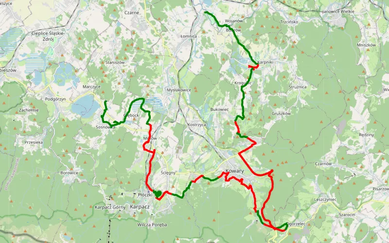
42% Offroad score
Moderate
707m Highest peak
Lasheck daleko od szosy. Od hrabiny Elisabeth von Kuster z Łomnicy do Sosnówki. CelemTunel pod Przełęczą Kowarską
Offroad score42%
No known restrictions92%
Distance42.96 km
Highest peak707m
Offroad18.09 km
2 months ago
View route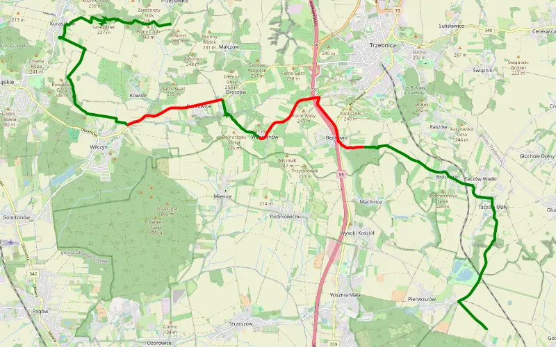
65% Offroad score
Moderate
242m Highest peak
Siedlec - Kowale
Offroad score65%
No known restrictions96%
Distance19.49 km
Highest peak242m
Offroad12.64 km
2 months ago
View route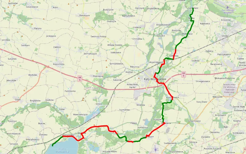
40% Offroad score
Moderate
189m Highest peak
Samotwór - Dzikowa
Offroad score40%
No known restrictions96%
Distance31.7 km
Highest peak189m
Offroad12.69 km
1 month ago
View route
77% Offroad score
Difficult
172m Highest peak
Oława - Kucharzowice
Offroad score77%
No known restrictions91%
Distance25.49 km
Highest peak172m
Offroad19.56 km
1 month ago
View route
77% Offroad score
Difficult
185m Highest peak
Kantorowice - Oława
Offroad score77%
No known restrictions89%
Distance59.62 km
Highest peak185m
Offroad45.76 km
4 months ago
View route
59% Offroad score
Moderate
166m Highest peak
Oława- Domaniów- Oława
Offroad score59%
No known restrictions98%
Distance31.12 km
Highest peak166m
Offroad18.45 km
8 months ago
View route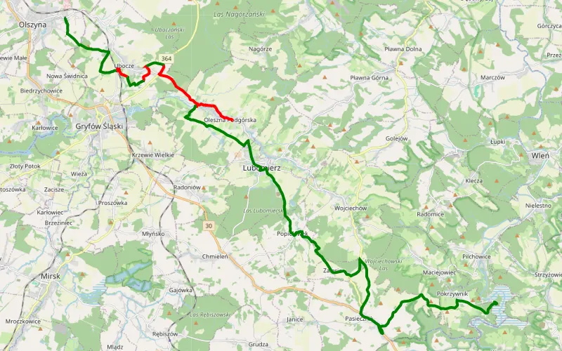
54% Offroad score
Moderate
464m Highest peak
Lasheck daleko od szosy: Olszyna - Pilchowice
Offroad score54%
No known restrictions97%
Distance17.07 km
Highest peak464m
Offroad9.3 km
2 months ago
View route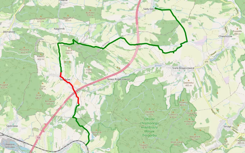
85% Offroad score
Difficult
627m Highest peak
Krzeszowek
Offroad score85%
No known restrictions89%
Distance14.56 km
Highest peak627m
Offroad12.42 km
3 months ago
View route
73% Offroad score
Difficult
146m Highest peak
Klecina 3x
Offroad score73%
No known restrictions99%
Distance40.49 km
Highest peak146m
Offroad29.35 km
2 years ago
View route
88% Offroad score
Difficult
112m Highest peak
Niechłód - Berlinek
Offroad score88%
No known restrictions86%
Distance23.3 km
Highest peak112m
Offroad20.41 km
7 months ago
View route
63% Offroad score
Moderate
150m Highest peak
Wysoka - Karłowice
Offroad score63%
No known restrictions99%
Distance50.49 km
Highest peak150m
Offroad31.85 km
6 months ago
View route
66% Offroad score
Moderate
211m Highest peak
Kąty Wrocławskie - Świdnica
Offroad score66%
No known restrictions99%
Distance30.14 km
Highest peak211m
Offroad19.75 km
7 months ago
View route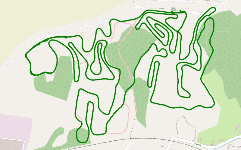
100% Offroad score
Difficult
312m Highest peak
Olszyna pełny tor ( mała pętla + duża)
Offroad score100%
No known restrictions81%
Distance10.72 km
Highest peak312m
Offroad10.72 km
14 days ago
View route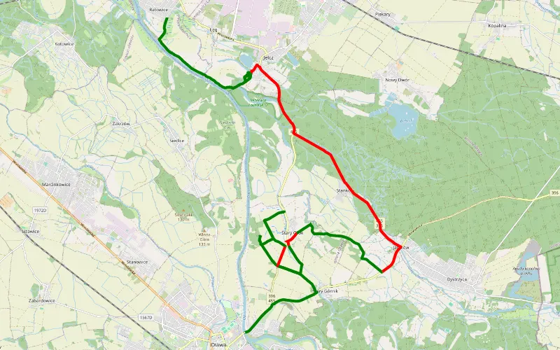
62% Offroad score
Moderate
136m Highest peak
Oława - Ratowice
Offroad score62%
No known restrictions95%
Distance25.39 km
Highest peak136m
Offroad15.68 km
3 months ago
View route
69% Offroad score
Moderate
150m Highest peak
Bielany Wrocławskie
Offroad score69%
No known restrictions99%
Distance38.43 km
Highest peak150m
Offroad26.59 km
1 year ago
View route
100% Offroad score
Difficult
136m Highest peak
Bystrzyca - Błota
Offroad score100%
No known restrictions97%
Distance7.97 km
Highest peak136m
Offroad7.97 km
1 year ago
View route
48% Offroad score
Moderate
293m Highest peak
Pątnów - Jerzyków
Offroad score48%
No known restrictions98%
Distance45.05 km
Highest peak293m
Offroad21.57 km
11 months ago
View route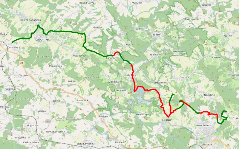
54% Offroad score
Moderate
557m Highest peak
Radoniów - Dziwiszów
Offroad score54%
No known restrictions79%
Distance37.91 km
Highest peak557m
Offroad20.35 km
1 month ago
View route
39% Offroad score
Easy
443m Highest peak
Nowa Wieś Legnicka - Willa włoska - Muchów
Offroad score39%
No known restrictions99%
Distance39.58 km
Highest peak443m
Offroad15.59 km
1 year ago
View route
72% Offroad score
Difficult
245m Highest peak
Świątniki - Gruszeczka
Offroad score72%
No known restrictions89%
Distance41.01 km
Highest peak245m
Offroad29.6 km
8 months ago
View route
67% Offroad score
Moderate
145m Highest peak
Stary Górnik
Offroad score67%
No known restrictions86%
Distance31.38 km
Highest peak145m
Offroad21.05 km
1 year ago
View route
70% Offroad score
Difficult
413m Highest peak
Krzyżowa - Bagieniec
Offroad score70%
No known restrictions90%
Distance45.77 km
Highest peak413m
Offroad32.25 km
7 months ago
View route
67% Offroad score
Moderate
177m Highest peak
Ołtaszyn - Gniechowice
Offroad score67%
No known restrictions97%
Distance29.85 km
Highest peak177m
Offroad19.98 km
6 months ago
View route
100% Offroad score
Difficult
361m Highest peak
Braszowice
Offroad score100%
No known restrictions97%
Distance6.02 km
Highest peak361m
Offroad6.02 km
5 months ago
View route