



Routes
Lwówek Śląski County/ Lower Silesian Voivodeship
Showing 24 routes
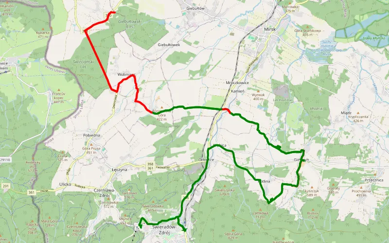
48% Offroad score
Moderate
669m Highest peak
Gierczyn - Świeradów-Zdrój
Offroad score48%
No known restrictions96%
Distance28.4 km
Highest peak669m
Offroad13.57 km
22 days ago
View route
66% Offroad score
Moderate
267m Highest peak
Konradówka - Rakowice Małe
Offroad score66%
No known restrictions83%
Distance41.35 km
Highest peak267m
Offroad27.36 km
1 year ago
View route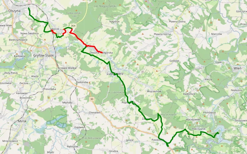
54% Offroad score
Moderate
464m Highest peak
Lasheck daleko od szosy: Olszyna - Pilchowice
Offroad score54%
No known restrictions97%
Distance17.07 km
Highest peak464m
Offroad9.3 km
2 months ago
View route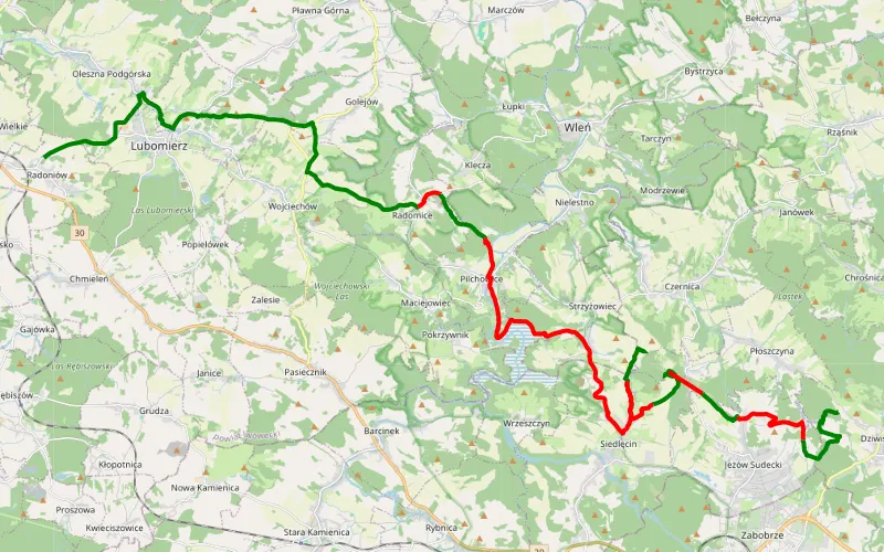
54% Offroad score
Moderate
557m Highest peak
Radoniów - Dziwiszów
Offroad score54%
No known restrictions79%
Distance37.91 km
Highest peak557m
Offroad20.35 km
1 month ago
View route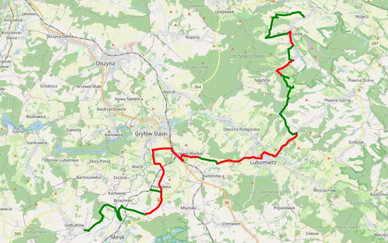
48% Offroad score
Moderate
472m Highest peak
Kleine Schlesienrunde
Offroad score48%
No known restrictions85%
Distance33.55 km
Highest peak472m
Offroad16.15 km
5 months ago
View route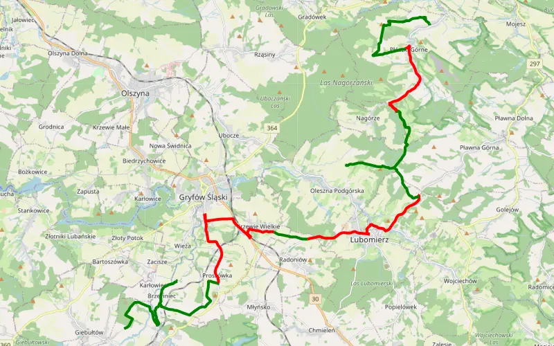
54% Offroad score
Moderate
468m Highest peak
Lasheck daleko od szosy: Mirsk - Płóczki Dolne
Offroad score54%
No known restrictions79%
Distance38.19 km
Highest peak468m
Offroad20.54 km
2 months ago
View route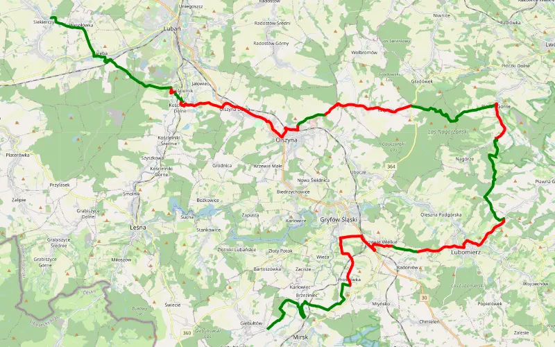
45% Offroad score
Moderate
472m Highest peak
Siekierczyn - Giebułtów
Offroad score45%
No known restrictions83%
Distance51.3 km
Highest peak472m
Offroad23.1 km
2 months ago
View route
49% Offroad score
Moderate
393m Highest peak
Brochocin - Proboszczów
Offroad score49%
No known restrictions92%
Distance53.78 km
Highest peak393m
Offroad26.49 km
1 year ago
View route
60% Offroad score
Moderate
335m Highest peak
Gołaczów - Siedlęcin
Offroad score60%
No known restrictions89%
Distance44.48 km
Highest peak335m
Offroad26.66 km
1 year ago
View route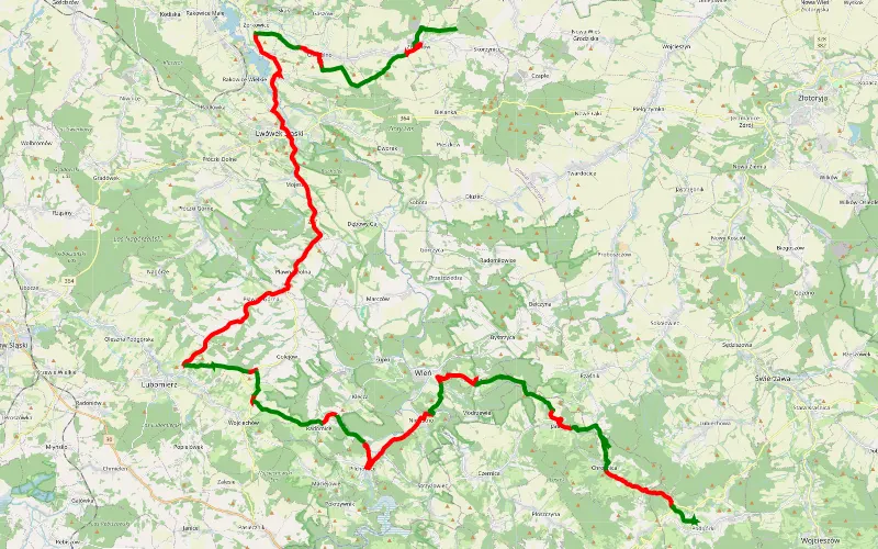
46% Offroad score
Moderate
518m Highest peak
Pologne J3 Skorzynice - Podgórki
Offroad score46%
No known restrictions87%
Distance71.84 km
Highest peak518m
Offroad32.99 km
2 months ago
View route
50% Offroad score
Moderate
429m Highest peak
Przecznica - Gradów
Offroad score50%
No known restrictions89%
Distance46.99 km
Highest peak429m
Offroad23.46 km
3 years ago
View route
49% Offroad score
Moderate
499m Highest peak
Izerskie
Offroad score49%
No known restrictions88%
Distance38.99 km
Highest peak499m
Offroad18.95 km
3 years ago
View route
67% Offroad score
Moderate
309m Highest peak
Lwówek Śląski
Offroad score67%
No known restrictions85%
Distance27.86 km
Highest peak309m
Offroad18.55 km
2 years ago
View route
71% Offroad score
Difficult
467m Highest peak
Sylwester
Offroad score71%
No known restrictions80%
Distance31.19 km
Highest peak467m
Offroad22.13 km
2 years ago
View route
47% Offroad score
Moderate
662m Highest peak
Orłowice - Grenzdorf
Offroad score47%
No known restrictions93%
Distance34.59 km
Highest peak662m
Offroad16.33 km
2 years ago
View route
63% Offroad score
Moderate
489m Highest peak
Taco
Offroad score63%
No known restrictions84%
Distance52.71 km
Highest peak489m
Offroad33.16 km
3 years ago
View route
32% Offroad score
Easy
450m Highest peak
Otok - Dobra
Offroad score32%
No known restrictions96%
Distance36.41 km
Highest peak450m
Offroad11.72 km
2 years ago
View route
84% Offroad score
Difficult
471m Highest peak
Polsko2
Offroad score84%
No known restrictions75%
Distance18.25 km
Highest peak471m
Offroad15.4 km
2 years ago
View route
56% Offroad score
Moderate
433m Highest peak
Pologne J2 Tarczyn - Skorzynice
Offroad score56%
No known restrictions89%
Distance91.55 km
Highest peak433m
Offroad51.44 km
3 months ago
View route
61% Offroad score
Moderate
327m Highest peak
Do zamku Czocha przez Pilchowice
Offroad score61%
No known restrictions92%
Distance40.85 km
Highest peak327m
Offroad24.78 km
3 years ago
View route
76% Offroad score
Difficult
480m Highest peak
Gryfów Śląski - Radoniow - Milecice
Offroad score76%
No known restrictions81%
Distance30.28 km
Highest peak480m
Offroad22.97 km
3 years ago
View route
84% Offroad score
Difficult
459m Highest peak
Sucha - Giebułtów
Offroad score84%
No known restrictions98%
Distance6.1 km
Highest peak459m
Offroad5.15 km
3 years ago
View route
55% Offroad score
Moderate
380m Highest peak
Radostów Średni - Rakowice Małe
Offroad score55%
No known restrictions85%
Distance55.04 km
Highest peak380m
Offroad30.07 km
3 years ago
View route
68% Offroad score
Moderate
487m Highest peak
Miłoszów 2gi dzień z t4t
Offroad score68%
No known restrictions73%
Distance55.61 km
Highest peak487m
Offroad37.68 km
1 year ago
View route