



Discover & Plan
Your Next Offroad
Adventure
Routes by voivodeship
Tools Designed for the Untamed Road
Interactive Trail Maps
High-resolution terrain maps with real-time overlays for elevation, surface type, and points of interest.
Offline-First Navigation
Export any offroad route as a GPX file and download entire regions for offline use. Your GPS navigator keeps following the track even when cell service doesn't.
Route Analytics
Detailed elevation profiles, difficulty scores, and time estimates powered by community data.
Checking restricted areas
Every 25 metres we compare the route with our data on restricted places: public roads, state and private forests, national parks, reserves and no-entry roads. The result, with the stretches on a map, is on the route page under "Before you go".
1,247 m
Expert
186 km
8h 42m

Check whether your route avoids restricted places
Load a GPX or KML file, and every 25 metres we compare the route with our data on restricted places and show on the map which stretches are worth verifying before you go.
- Public roads, state and private forests
- National parks, reserves and no-entry roads
- Up to 200 km, the file is not stored
Take it off the screen
Record your tracks, navigate without signal and check the SOS board from the trail. The OffPlanner app is in open beta on iPhone and Android, and it is free to join.
Free - open beta - no account needed to look around
See what it does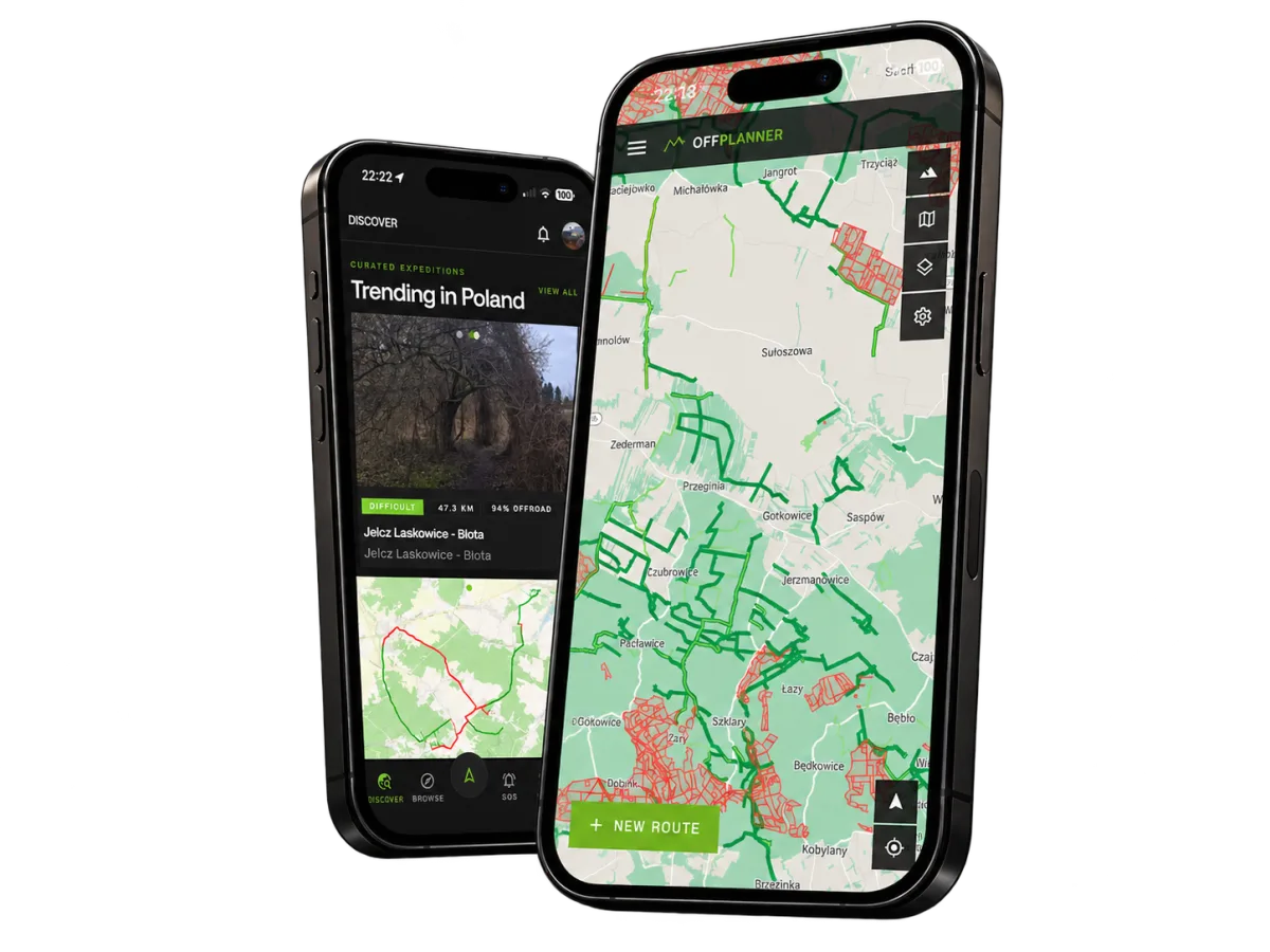
Ready to leave
the asphalt?
Join thousands of offroad enthusiasts who plan, navigate, and conquer trails with OffPlanner.