



Offroad navigation
for Android and iOS
Pick a route and drive: the app guides you along offroad tracks turn by turn, with a map and a line that keep working where there is no coverage. Plus the community's routes, the planner, a track recorder and the SOS board.
Free - no account needed to look around
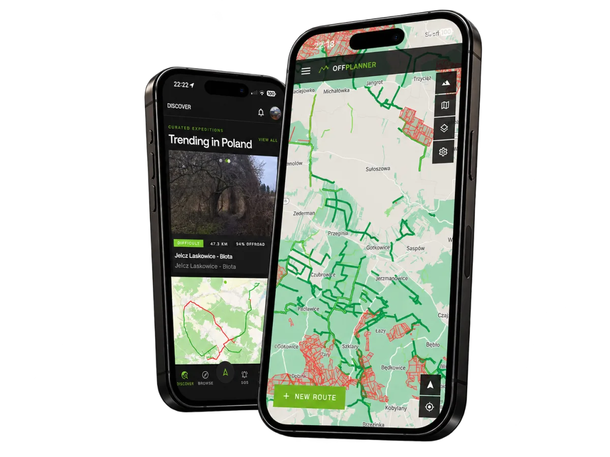
See it in action
The app in four minutes: what it does and how it looks on the phone. The video is in Polish and English.
What it does
Navigate off-road
Turn by turn along the route, over known offroad tracks - on satellite, topographic with contours or orthophoto maps, with 3D terrain.
Works with no signal
Download a route before you leave and the map, the line and the navigation all keep working where there is no coverage.
Community routes
The same routes as the website, ranked the same way, with photos and the off-road share of every trail - to pick from and to drive.
Plan on the move
Draw a route with your finger and see the off-road percentage update as you go, with known tracks drawn on the map underneath.
Record your drive
Track a trail as you drive it, drop marks at what matters, and publish it to your profile when you are back in range.
SOS board
See who needs a hand nearby, post your own call for help, and say you are on your way.
A look around

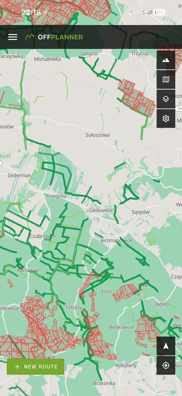
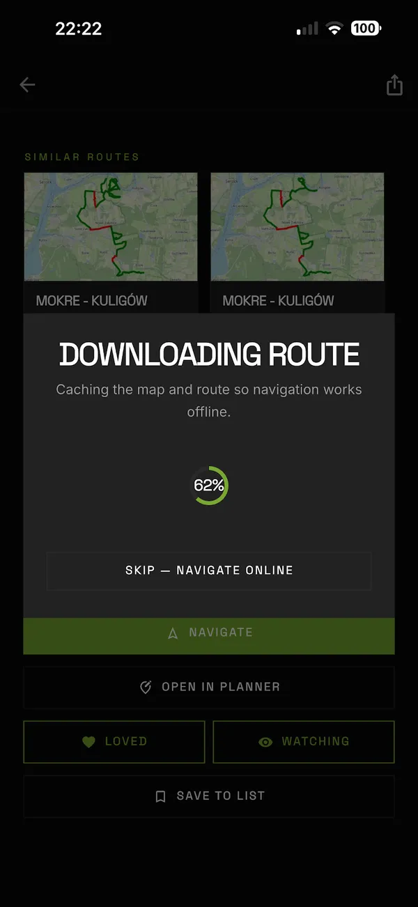
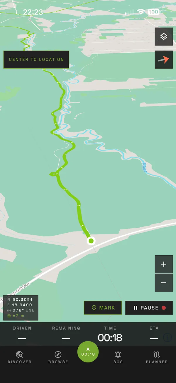
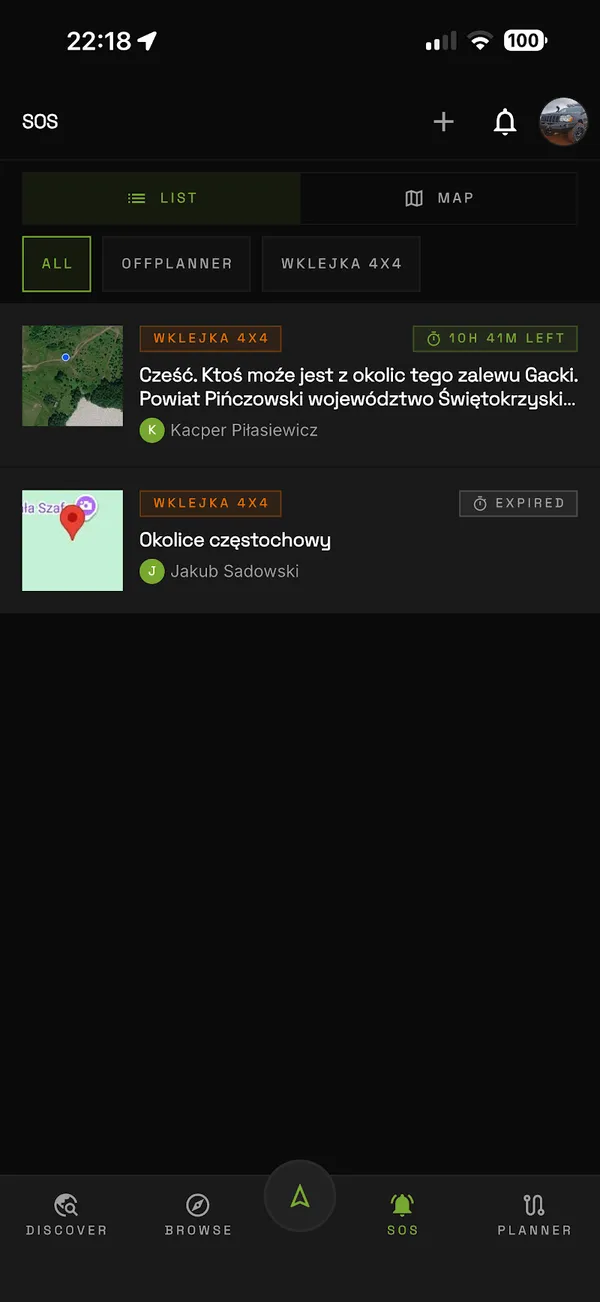
Offroad navigation in your pocket
On Android, install it from Google Play. On iPhone, it is in open testing on TestFlight. Anything you save in the app shows up on the website under the same account, and the other way round.
Found something broken, or something missing? Tell us on the contact page or in the Facebook group - every bit of feedback counts.