



Routes
Lubin County/ Lower Silesian Voivodeship
Showing 20 routes
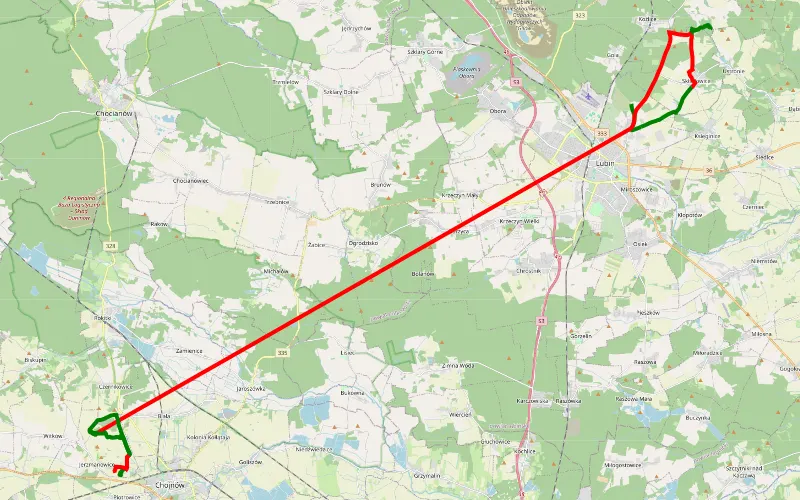
26% Offroad score
Easy
279m Highest peak
Małomice - Jerzmanowice
Offroad score26%
No known restrictions88%
Distance50.49 km
Highest peak279m
Offroad12.91 km
1 month ago
View route
46% Offroad score
Moderate
112m Highest peak
Niechłód - Zbarzewo
Offroad score46%
No known restrictions93%
Distance78.56 km
Highest peak112m
Offroad35.99 km
9 months ago
View route
44% Offroad score
Moderate
202m Highest peak
Tymowa - Lubin
Offroad score44%
No known restrictions78%
Distance21.18 km
Highest peak202m
Offroad9.3 km
9 months ago
View route
74% Offroad score
Difficult
151m Highest peak
Małomice - Tymowa
Offroad score74%
No known restrictions68%
Distance11.84 km
Highest peak151m
Offroad8.72 km
9 months ago
View route
67% Offroad score
Moderate
176m Highest peak
Jaroszówka - Lubin
Offroad score67%
No known restrictions62%
Distance16.81 km
Highest peak176m
Offroad11.22 km
9 months ago
View route
67% Offroad score
Moderate
199m Highest peak
Lubin - Radzyń
Offroad score67%
No known restrictions73%
Distance89.23 km
Highest peak199m
Offroad59.77 km
7 months ago
View route
33% Offroad score
Easy
209m Highest peak
Takie tam
Offroad score33%
No known restrictions84%
Distance92.25 km
Highest peak209m
Offroad30.84 km
5 months ago
View route
100% Offroad score
Difficult
147m Highest peak
Chróstnik - Lubin
Offroad score100%
No known restrictions99%
Distance2.47 km
Highest peak147m
Offroad2.47 km
10 months ago
View route
75% Offroad score
Difficult
159m Highest peak
Pieszków - Dobrzejów
Offroad score75%
No known restrictions70%
Distance8.81 km
Highest peak159m
Offroad6.62 km
4 years ago
View route
32% Offroad score
Easy
220m Highest peak
Jezioro Koskowickie- Hałda Lubin- S3
Offroad score32%
No known restrictions93%
Distance218.11 km
Highest peak220m
Offroad69.55 km
3 years ago
View route
100% Offroad score
Difficult
167m Highest peak
Obwodnica - Obora
Offroad score100%
No known restrictions99%
Distance1.79 km
Highest peak167m
Offroad1.79 km
1 year ago
View route
52% Offroad score
Moderate
184m Highest peak
Bielewo - Lisowice
Offroad score52%
No known restrictions87%
Distance116.57 km
Highest peak184m
Offroad60.85 km
3 years ago
View route
83% Offroad score
Difficult
187m Highest peak
Lubin - Jaroszówka
Offroad score83%
No known restrictions21%
Distance22.56 km
Highest peak187m
Offroad18.8 km
9 months ago
View route
61% Offroad score
Moderate
110m Highest peak
Andrzej i Arleta
Offroad score61%
No known restrictions75%
Distance131.47 km
Highest peak110m
Offroad80.2 km
3 months ago
View route
53% Offroad score
Moderate
247m Highest peak
Lipa Piotrowska - Willa włoska - Szczepin
Offroad score53%
No known restrictions91%
Distance219.94 km
Highest peak247m
Offroad116.62 km
1 year ago
View route
100% Offroad score
Difficult
161m Highest peak
Szklary Górne - Sobin
Offroad score100%
No known restrictions48%
Distance5.72 km
Highest peak161m
Offroad5.72 km
8 years ago
View route
51% Offroad score
Moderate
258m Highest peak
Widawa - Willa włoska - Lutynia
Offroad score51%
No known restrictions91%
Distance189.15 km
Highest peak258m
Offroad95.96 km
1 year ago
View route
38% Offroad score
Easy
207m Highest peak
Rusko 2015 pierwszy przejazd
Offroad score38%
No known restrictions87%
Distance81.05 km
Highest peak207m
Offroad31.06 km
11 years ago
View route
35% Offroad score
Easy
206m Highest peak
Trasa Chojnów Vegas
Offroad score35%
No known restrictions85%
Distance94.13 km
Highest peak206m
Offroad32.53 km
3 years ago
View route
43% Offroad score
Moderate
163m Highest peak
Pieszków - Przybków
Offroad score43%
No known restrictions75%
Distance29.94 km
Highest peak163m
Offroad12.88 km
8 years ago
View route