



Routes
Oława County/ Lower Silesian Voivodeship
Showing 24 routes
100% Offroad score
Difficult
130m Highest peak
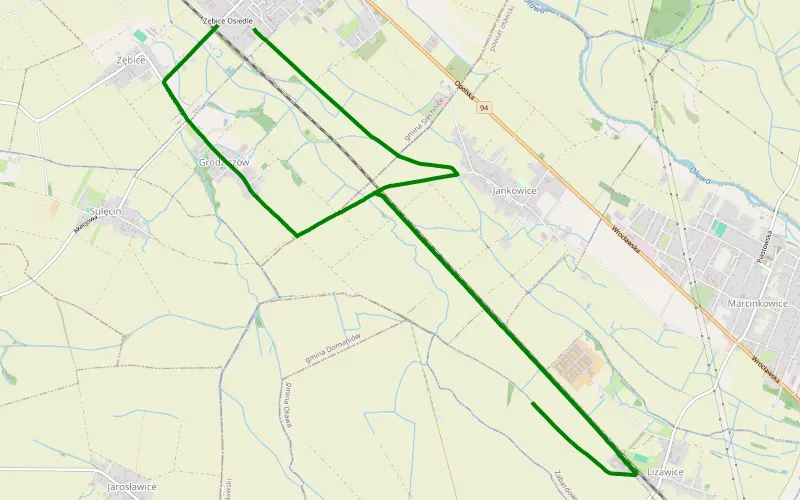
Zębice
Offroad score100%
No known restrictions99%
Distance12.51 km
Highest peak130m
Offroad12.51 km
1 month ago
View route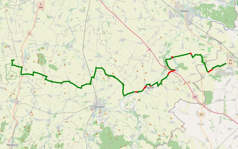
82% Offroad score
Difficult
174m Highest peak
Na Bielawę
Offroad score82%
No known restrictions91%
Distance30.52 km
Highest peak174m
Offroad25.05 km
2 days ago
View route
67% Offroad score
Moderate
164m Highest peak
track1
Offroad score67%
No known restrictions97%
Distance35.43 km
Highest peak164m
Offroad23.76 km
2 months ago
View route
67% Offroad score
Moderate
164m Highest peak
track1 na Strzelin
Offroad score67%
No known restrictions97%
Distance35.43 km
Highest peak164m
Offroad23.76 km
2 months ago
View route
77% Offroad score
Difficult
172m Highest peak
Oława - Kucharzowice
Offroad score77%
No known restrictions91%
Distance25.49 km
Highest peak172m
Offroad19.56 km
1 month ago
View route
77% Offroad score
Difficult
185m Highest peak
Kantorowice - Oława
Offroad score77%
No known restrictions89%
Distance59.62 km
Highest peak185m
Offroad45.76 km
4 months ago
View route
59% Offroad score
Moderate
166m Highest peak
Oława- Domaniów- Oława
Offroad score59%
No known restrictions98%
Distance31.12 km
Highest peak166m
Offroad18.45 km
8 months ago
View route
63% Offroad score
Moderate
150m Highest peak
Wysoka - Karłowice
Offroad score63%
No known restrictions99%
Distance50.49 km
Highest peak150m
Offroad31.85 km
6 months ago
View route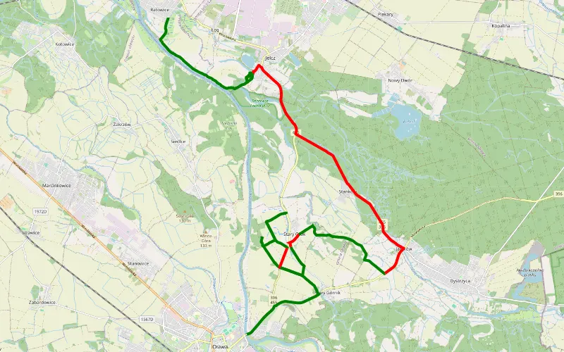
62% Offroad score
Moderate
136m Highest peak
Oława - Ratowice
Offroad score62%
No known restrictions95%
Distance25.39 km
Highest peak136m
Offroad15.68 km
3 months ago
View route
100% Offroad score
Difficult
136m Highest peak
Bystrzyca - Błota
Offroad score100%
No known restrictions97%
Distance7.97 km
Highest peak136m
Offroad7.97 km
1 year ago
View route
67% Offroad score
Moderate
145m Highest peak
Stary Górnik
Offroad score67%
No known restrictions86%
Distance31.38 km
Highest peak145m
Offroad21.05 km
1 year ago
View route
58% Offroad score
Moderate
137m Highest peak
Ratowice - Nadolice Wielkie
Offroad score58%
No known restrictions95%
Distance35.46 km
Highest peak137m
Offroad20.72 km
10 months ago
View route
53% Offroad score
Moderate
159m Highest peak
Kurzawa - Kalinowa
Offroad score53%
No known restrictions89%
Distance53.6 km
Highest peak159m
Offroad28.6 km
4 months ago
View route
69% Offroad score
Moderate
149m Highest peak
Zwierzetnik - Janików
Offroad score69%
No known restrictions90%
Distance24.11 km
Highest peak149m
Offroad16.67 km
10 months ago
View route
90% Offroad score
Difficult
139m Highest peak
Nowy Dwór - Bystrzyca
Offroad score90%
No known restrictions99%
Distance6.66 km
Highest peak139m
Offroad6.02 km
7 months ago
View route
100% Offroad score
Difficult
142m Highest peak
Michałowice - Oława (Zaodrze)
Offroad score100%
No known restrictions74%
Distance15.24 km
Highest peak142m
Offroad15.24 km
9 months ago
View route
75% Offroad score
Difficult
152m Highest peak
Górnik - Jaczkowice
Offroad score75%
No known restrictions80%
Distance21.4 km
Highest peak152m
Offroad16.06 km
5 months ago
View route
31% Offroad score
Easy
164m Highest peak
Koropatnik - Godzikowice
Offroad score31%
No known restrictions99%
Distance28.45 km
Highest peak164m
Offroad8.84 km
10 months ago
View route
76% Offroad score
Difficult
153m Highest peak
Małujowice - Zwierzetnik
Offroad score76%
No known restrictions88%
Distance15.44 km
Highest peak153m
Offroad11.81 km
5 months ago
View route
77% Offroad score
Difficult
210m Highest peak
Turów - Woijtowice
Offroad score77%
No known restrictions88%
Distance46.89 km
Highest peak210m
Offroad36.04 km
1 year ago
View route
82% Offroad score
Difficult
135m Highest peak
Rato i okolice - do sprawdzenia
Offroad score82%
No known restrictions99%
Distance18.84 km
Highest peak135m
Offroad15.49 km
4 years ago
View route
62% Offroad score
Moderate
146m Highest peak
Klecina - Strzelnicadomaniów
Offroad score62%
No known restrictions99%
Distance34.87 km
Highest peak146m
Offroad21.56 km
2 years ago
View route
50% Offroad score
Moderate
236m Highest peak
Pętla
Offroad score50%
No known restrictions91%
Distance51.77 km
Highest peak236m
Offroad25.75 km
1 year ago
View route
35% Offroad score
Easy
366m Highest peak
Strzelin - Oława
Offroad score35%
No known restrictions95%
Distance63.56 km
Highest peak366m
Offroad22.51 km
1 year ago
View route