



Routes
Siemiatycze County/ Podlaskie Voivodeship
Showing 24 routes // Page 2

41% Offroad score
Moderate
186m Highest peak
Klepaczew
Offroad score41%
No known restrictions87%
Distance138.14 km
Highest peak186m
Offroad56.4 km
2 years ago
View route
66% Offroad score
Moderate
182m Highest peak
Podlasie Trip
Offroad score66%
No known restrictions94%
Distance24.45 km
Highest peak182m
Offroad16.08 km
9 years ago
View route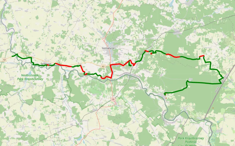
59% Offroad score
Moderate
190m Highest peak
Polska B II
Offroad score59%
No known restrictions95%
Distance64.75 km
Highest peak190m
Offroad38.42 km
7 years ago
View route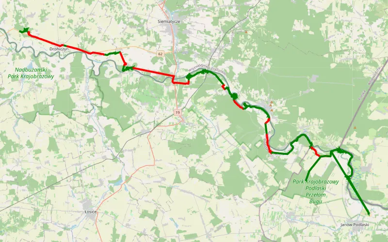
61% Offroad score
Moderate
168m Highest peak
Janowska
Offroad score61%
No known restrictions71%
Distance76.81 km
Highest peak168m
Offroad46.65 km
29 days ago
View route
14% Offroad score
Easy
181m Highest peak
Wysokie Mazowieckie - Dobryń
Offroad score14%
No known restrictions99%
Distance112.33 km
Highest peak181m
Offroad16.11 km
7 months ago
View route
66% Offroad score
Moderate
197m Highest peak
Ściana wschod
Offroad score66%
No known restrictions77%
Distance57.05 km
Highest peak197m
Offroad37.84 km
1 year ago
View route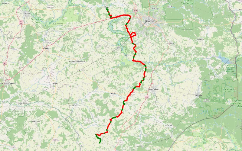
27% Offroad score
Easy
177m Highest peak
Tykocin - Narojki
Offroad score27%
No known restrictions98%
Distance142.43 km
Highest peak177m
Offroad38.19 km
3 years ago
View route
22% Offroad score
Easy
437m Highest peak
PLAN Podlasie dzień3 powrót
Offroad score22%
No known restrictions97%
Distance488.82 km
Highest peak437m
Offroad109.09 km
5 years ago
View route
61% Offroad score
Moderate
175m Highest peak
Bujaki - Drohiczyn
Offroad score61%
No known restrictions75%
Distance72.02 km
Highest peak175m
Offroad43.91 km
3 years ago
View route
61% Offroad score
Moderate
185m Highest peak
Drfty
Offroad score61%
No known restrictions66%
Distance65.49 km
Highest peak185m
Offroad40.02 km
2 years ago
View route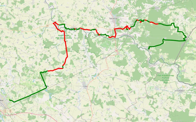
38% Offroad score
Easy
193m Highest peak
Mazowsze i Podlasze vol. 2
Offroad score38%
No known restrictions91%
Distance90.23 km
Highest peak193m
Offroad34.64 km
7 years ago
View route
19% Offroad score
Easy
307m Highest peak
Q
Offroad score19%
No known restrictions87%
Distance275.85 km
Highest peak307m
Offroad52.82 km
4 years ago
View route
37% Offroad score
Easy
184m Highest peak
Trasa z 52.282402N, 23.167033E do Droga Sinicka (Dojazd pożarowy 27)
Offroad score37%
No known restrictions78%
Distance133.34 km
Highest peak184m
Offroad49.88 km
4 months ago
View route
42% Offroad score
Moderate
194m Highest peak
Mogielnica - Mordy
Offroad score42%
No known restrictions87%
Distance154.45 km
Highest peak194m
Offroad64.63 km
2 years ago
View route
18% Offroad score
Easy
195m Highest peak
Tarasiuki - Kuzowa
Offroad score18%
No known restrictions94%
Distance24.99 km
Highest peak195m
Offroad4.48 km
6 years ago
View route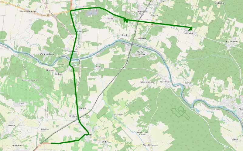
100% Offroad score
Difficult
174m Highest peak
Bunkry 2022
Offroad score100%
No known restrictions0%
Distance1.38 km
Highest peak174m
Offroad1.38 km
4 years ago
View route
20% Offroad score
Easy
174m Highest peak
Podłącz
Offroad score20%
No known restrictions93%
Distance132.58 km
Highest peak174m
Offroad26.4 km
1 month ago
View route
22% Offroad score
Easy
190m Highest peak
Kanabród - Rudnia
Offroad score22%
No known restrictions86%
Distance156.98 km
Highest peak190m
Offroad33.8 km
5 months ago
View route
30% Offroad score
Easy
182m Highest peak
Brzózki - Nowe Piekuty
Offroad score30%
No known restrictions97%
Distance130.16 km
Highest peak182m
Offroad38.52 km
8 years ago
View route
12% Offroad score
Easy
166m Highest peak
Podlasie 4x4 - Kraina otwartych okiennic
Offroad score12%
No known restrictions84%
Distance277.66 km
Highest peak166m
Offroad31.95 km
2 years ago
View route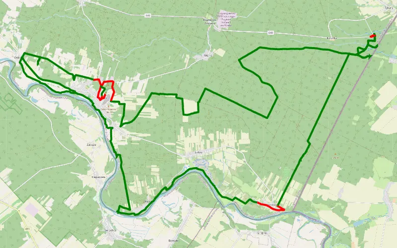
90% Offroad score
Difficult
181m Highest peak
Mielnik - Osłowo
Offroad score90%
No known restrictions49%
Distance58.48 km
Highest peak181m
Offroad52.48 km
7 years ago
View route
44% Offroad score
Moderate
193m Highest peak
Trasa do Hajnówki TP
Offroad score44%
No known restrictions78%
Distance89.73 km
Highest peak193m
Offroad39.31 km
5 years ago
View route
23% Offroad score
Easy
190m Highest peak
Skrzeszew - Przybudek
Offroad score23%
No known restrictions78%
Distance189.7 km
Highest peak190m
Offroad43.43 km
1 year ago
View route
17% Offroad score
Easy
488m Highest peak
Ściana Wschodnia - wzdłuż granicy, od Litwy aż do Rumunii.
Offroad score17%
Distance1010.72 km
Highest peak488m
Offroad175.21 km
8 years ago
View route