



Routes
Siemiatycze County/ Podlaskie Voivodeship
Showing 24 routes
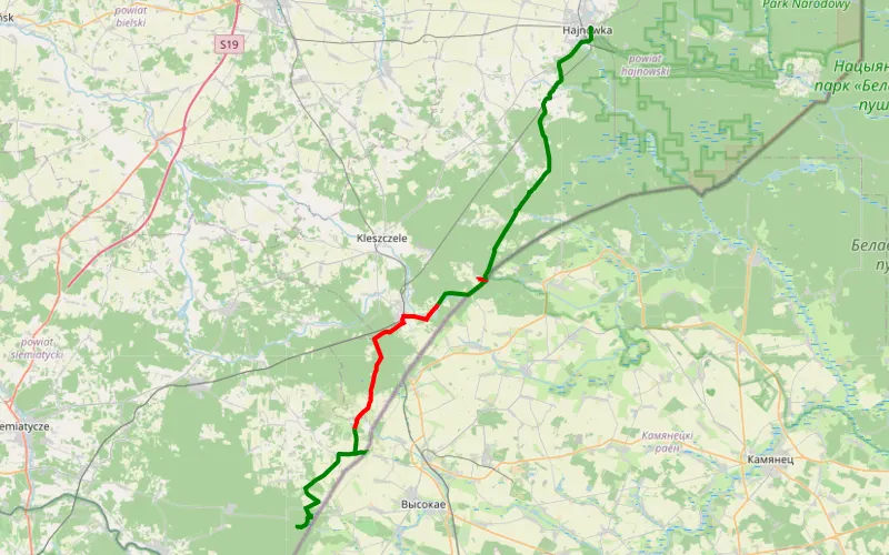
45% Offroad score
Moderate
186m Highest peak
Moj drugi
Offroad score45%
No known restrictions99%
Distance31.34 km
Highest peak186m
Offroad14.14 km
7 days ago
View route
69% Offroad score
Moderate
148m Highest peak
Wysokie Mazowieckie - Drohiczyn
Offroad score69%
No known restrictions99%
Distance58.24 km
Highest peak148m
Offroad40.27 km
5 months ago
View route
68% Offroad score
Moderate
194m Highest peak
Grib
Offroad score68%
No known restrictions96%
Distance33.98 km
Highest peak194m
Offroad23.16 km
1 year ago
View route
95% Offroad score
Difficult
189m Highest peak
Werpol - Walendziuki
Offroad score95%
No known restrictions93%
Distance9.23 km
Highest peak189m
Offroad8.78 km
1 year ago
View route
47% Offroad score
Moderate
151m Highest peak
Frankopol - Anusin
Offroad score47%
No known restrictions98%
Distance42.7 km
Highest peak151m
Offroad20.14 km
6 months ago
View route
66% Offroad score
Moderate
121m Highest peak
Tonkiele - Frankopol
Offroad score66%
No known restrictions80%
Distance32.02 km
Highest peak121m
Offroad21.22 km
9 months ago
View route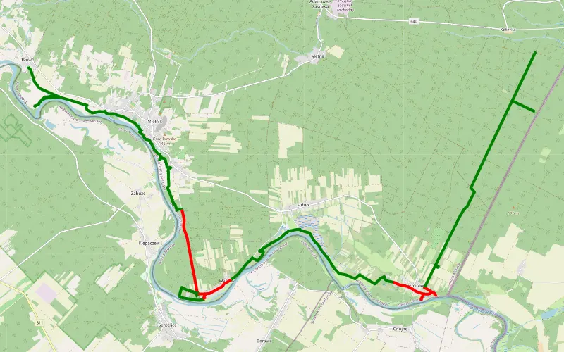
81% Offroad score
Difficult
179m Highest peak
Moja
Offroad score81%
No known restrictions61%
Distance36.27 km
Highest peak179m
Offroad29.56 km
7 days ago
View route
61% Offroad score
Moderate
165m Highest peak
92.74 km Offroad Trail
Offroad score61%
No known restrictions99%
Distance92.74 km
Highest peak165m
Offroad56.62 km
4 months ago
View route
73% Offroad score
Difficult
184m Highest peak
Małkinia Górna - Trześcianka
Offroad score73%
No known restrictions98%
Distance244.23 km
Highest peak184m
Offroad178.76 km
6 months ago
View route
64% Offroad score
Moderate
145m Highest peak
Walendziuki
Offroad score64%
No known restrictions86%
Distance15.03 km
Highest peak145m
Offroad9.67 km
1 year ago
View route
61% Offroad score
Moderate
164m Highest peak
Śladem Wierzb 28
Offroad score61%
No known restrictions99%
Distance92.74 km
Highest peak164m
Offroad56.62 km
1 year ago
View route
28% Offroad score
Easy
179m Highest peak
Hard. Ima
Offroad score28%
No known restrictions85%
Distance62.98 km
Highest peak179m
Offroad17.74 km
9 months ago
View route
39% Offroad score
Easy
178m Highest peak
Śladem wierzb 28 plus modyfikacje
Offroad score39%
No known restrictions92%
Distance119.45 km
Highest peak178m
Offroad46.77 km
3 months ago
View route
60% Offroad score
Moderate
200m Highest peak
Borsuki - Wakułowicze
Offroad score60%
No known restrictions92%
Distance92.89 km
Highest peak200m
Offroad55.81 km
2 years ago
View route
34% Offroad score
Easy
188m Highest peak
Mielnik-Białowieża
Offroad score34%
No known restrictions98%
Distance62.64 km
Highest peak188m
Offroad21.52 km
2 years ago
View route
35% Offroad score
Easy
187m Highest peak
Podlasie
Offroad score35%
No known restrictions89%
Distance329.83 km
Highest peak187m
Offroad117.06 km
4 months ago
View route
75% Offroad score
Difficult
269m Highest peak
Ghjj
Offroad score75%
No known restrictions79%
Distance24.79 km
Highest peak269m
Offroad18.67 km
5 years ago
View route
57% Offroad score
Moderate
138m Highest peak
Gmina Sarnaki - Borsuki
Offroad score57%
No known restrictions79%
Distance18.74 km
Highest peak138m
Offroad10.74 km
5 years ago
View route
23% Offroad score
Easy
189m Highest peak
Podlasie
Offroad score23%
No known restrictions88%
Distance105.73 km
Highest peak189m
Offroad24.56 km
1 year ago
View route
50% Offroad score
Moderate
211m Highest peak
Mazowiecka stówa w terenie v2
Offroad score50%
No known restrictions86%
Distance121.1 km
Highest peak211m
Offroad60.46 km
2 years ago
View route
50% Offroad score
Moderate
211m Highest peak
Mazowiecka stówa w terenie v2
Offroad score50%
No known restrictions86%
Distance121.1 km
Highest peak211m
Offroad60.46 km
2 years ago
View route
50% Offroad score
Moderate
152m Highest peak
Mazowiecka stówa w terenie v2
Offroad score50%
No known restrictions86%
Distance121.1 km
Highest peak152m
Offroad60.46 km
2 years ago
View route
50% Offroad score
Moderate
152m Highest peak
Mazowiecka stówa w terenie v2
Offroad score50%
No known restrictions86%
Distance121.1 km
Highest peak152m
Offroad60.46 km
2 years ago
View route
35% Offroad score
Easy
189m Highest peak
Zzz
Offroad score35%
No known restrictions95%
Distance129.88 km
Highest peak189m
Offroad44.93 km
2 years ago
View route