



Routes
Otwock County/ Masovian Voivodeship
Showing 24 routes // Page 6
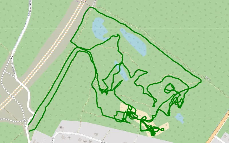
100% Offroad score
Difficult
140m Highest peak
Kołbiel żwirownia
Offroad score100%
No known restrictions97%
Distance7.45 km
Highest peak140m
Offroad7.45 km
3 years ago
View route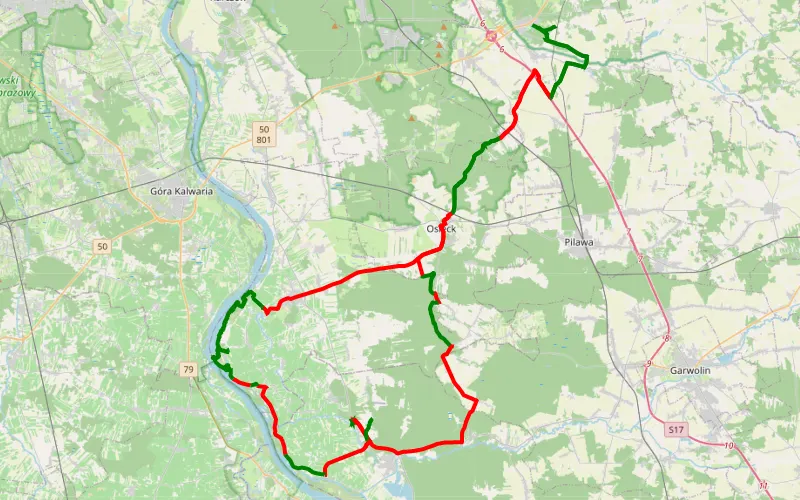
42% Offroad score
Moderate
160m Highest peak
Kołbiel xxx
Offroad score42%
No known restrictions99%
Distance95.8 km
Highest peak160m
Offroad40.11 km
29 days ago
View route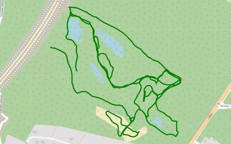
100% Offroad score
Difficult
234m Highest peak
Zwirownia
Offroad score100%
No known restrictions99%
Distance5.34 km
Highest peak234m
Offroad5.34 km
3 years ago
View route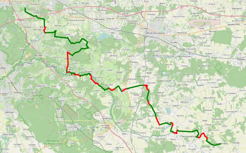
66% Offroad score
Moderate
154m Highest peak
Izabela - Budy Wielgoleskie
Offroad score66%
No known restrictions92%
Distance53.9 km
Highest peak154m
Offroad35.52 km
2 years ago
View route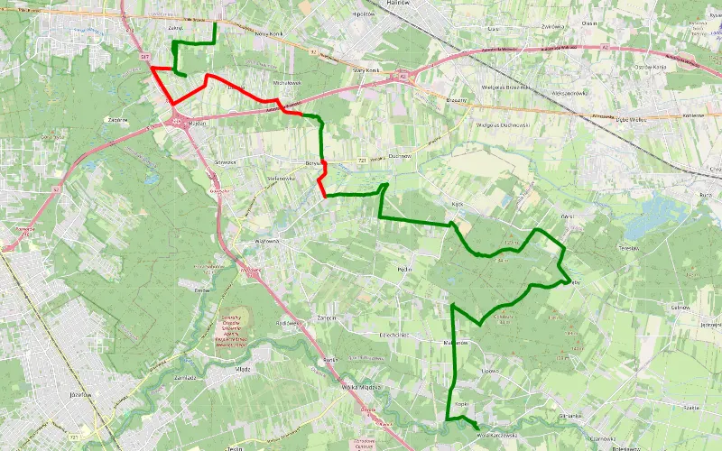
71% Offroad score
Difficult
141m Highest peak
Zakręt - Wola Karczewska
Offroad score71%
No known restrictions90%
Distance23.02 km
Highest peak141m
Offroad16.34 km
2 years ago
View route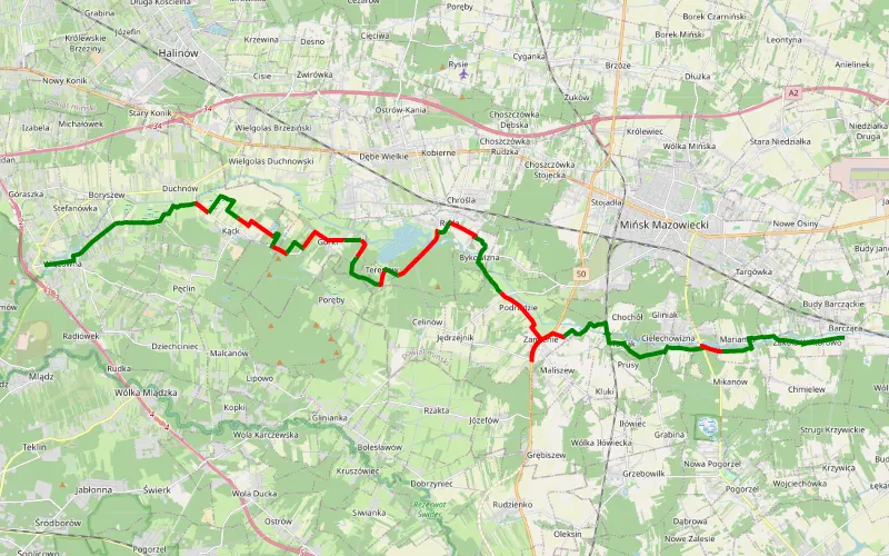
58% Offroad score
Moderate
162m Highest peak
Wiązowna - Zakole Wiktorowo
Offroad score58%
No known restrictions87%
Distance28.85 km
Highest peak162m
Offroad16.76 km
1 year ago
View route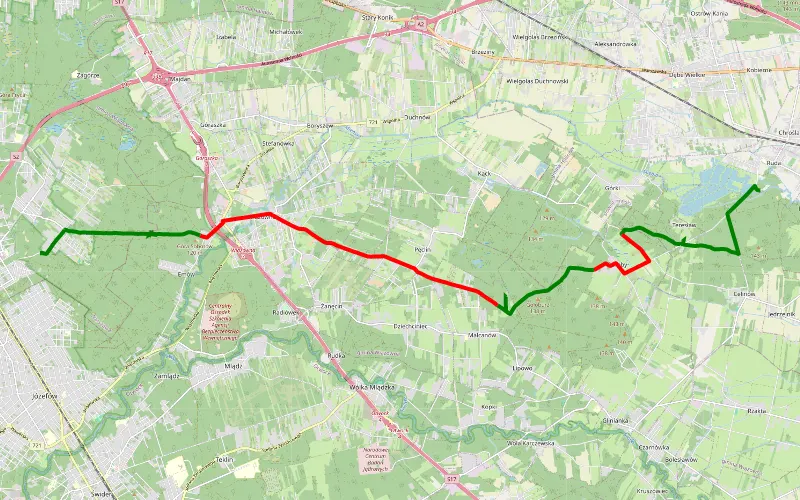
45% Offroad score
Moderate
138m Highest peak
Ruda - Michalin
Offroad score45%
No known restrictions89%
Distance17.26 km
Highest peak138m
Offroad7.83 km
1 year ago
View route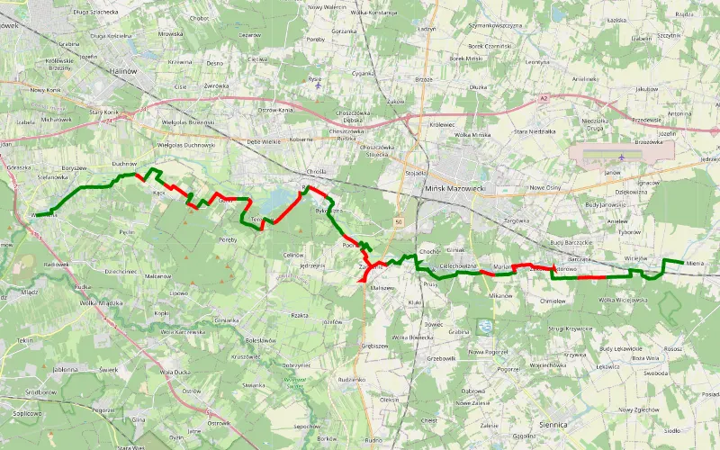
60% Offroad score
Moderate
149m Highest peak
Wiązowna - Mienia
Offroad score60%
No known restrictions88%
Distance38.79 km
Highest peak149m
Offroad23.18 km
4 years ago
View route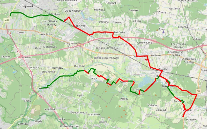
28% Offroad score
Easy
150m Highest peak
Marcin
Offroad score28%
No known restrictions95%
Distance46.01 km
Highest peak150m
Offroad12.71 km
5 months ago
View route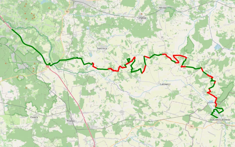
49% Offroad score
Moderate
201m Highest peak
Stoczek Łukowski - Świerk
Offroad score49%
No known restrictions89%
Distance61.53 km
Highest peak201m
Offroad30.4 km
8 months ago
View route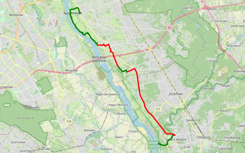
44% Offroad score
Moderate
88m Highest peak
Praska Wisła - wyjątkowe widoki
Offroad score44%
No known restrictions98%
Distance19.22 km
Highest peak88m
Offroad8.4 km
4 years ago
View route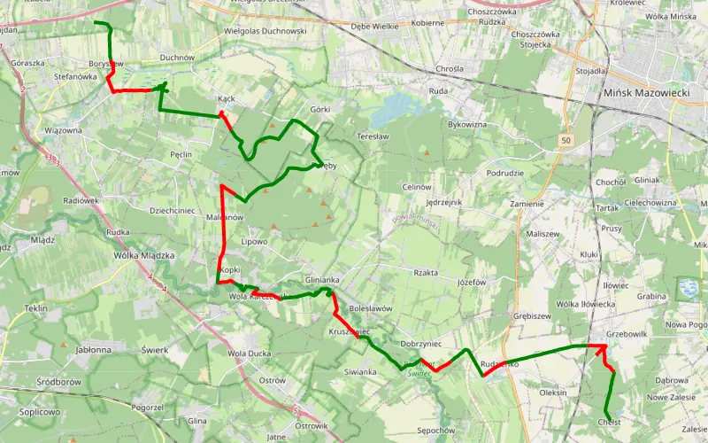
69% Offroad score
Moderate
155m Highest peak
Zakręt - Utrata
Offroad score69%
No known restrictions93%
Distance38.3 km
Highest peak155m
Offroad26.33 km
3 years ago
View route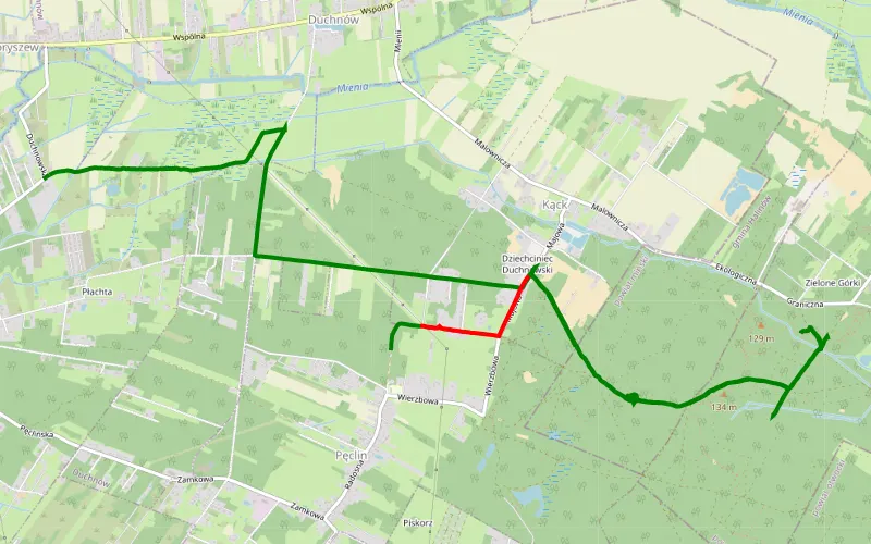
92% Offroad score
Difficult
129m Highest peak
Błoto
Offroad score92%
No known restrictions83%
Distance12.39 km
Highest peak129m
Offroad11.4 km
1 year ago
View route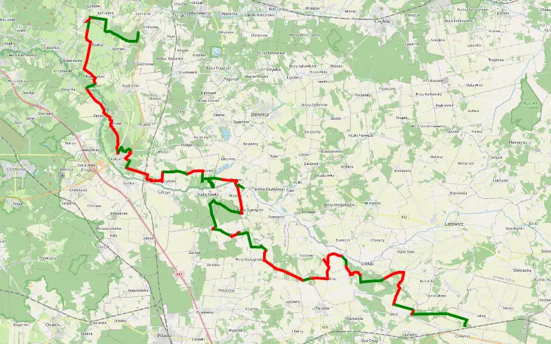
45% Offroad score
Moderate
185m Highest peak
Maliszew - Chromin
Offroad score45%
No known restrictions99%
Distance64.88 km
Highest peak185m
Offroad29.43 km
1 year ago
View route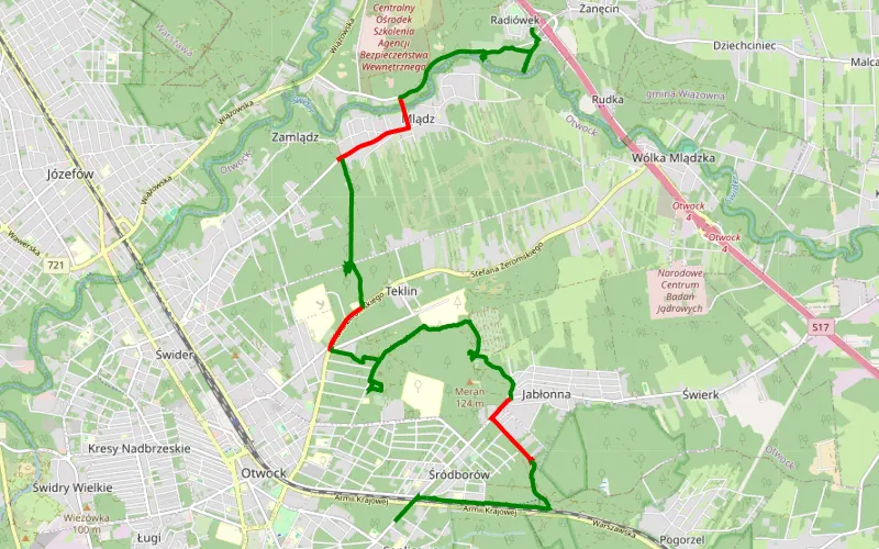
79% Offroad score
Difficult
133m Highest peak
Zanęcin - Soplicowo
Offroad score79%
No known restrictions85%
Distance15.2 km
Highest peak133m
Offroad12.06 km
1 year ago
View route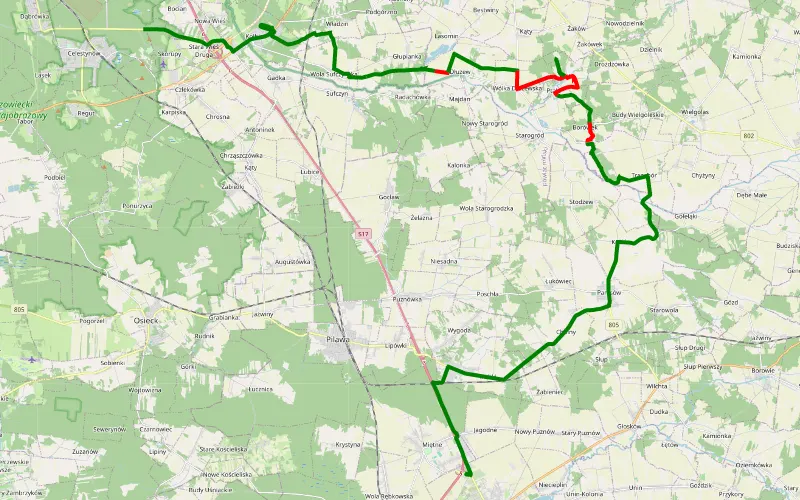
70% Offroad score
Difficult
142m Highest peak
Wwa-McDonald’s Garwolin
Offroad score70%
No known restrictions94%
Distance20.55 km
Highest peak142m
Offroad14.3 km
2 years ago
View route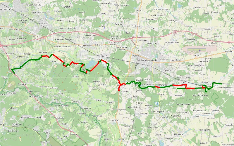
63% Offroad score
Moderate
194m Highest peak
Wiązowna - Mienia
Offroad score63%
No known restrictions82%
Distance53.58 km
Highest peak194m
Offroad33.85 km
1 year ago
View route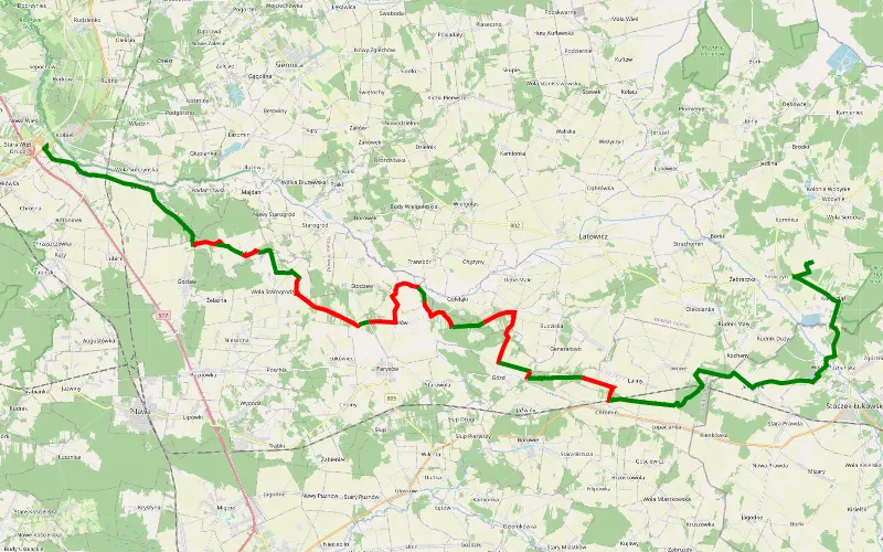
48% Offroad score
Moderate
180m Highest peak
Kołbiel - Seroczyn
Offroad score48%
No known restrictions95%
Distance34.66 km
Highest peak180m
Offroad16.65 km
3 years ago
View route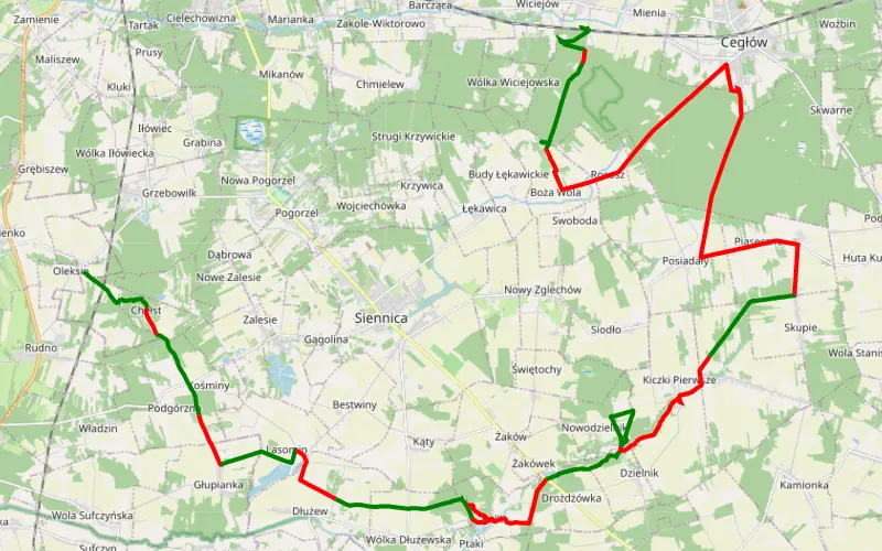
44% Offroad score
Moderate
245m Highest peak
Teresin - Mienia
Offroad score44%
No known restrictions86%
Distance45.47 km
Highest peak245m
Offroad20.2 km
4 years ago
View route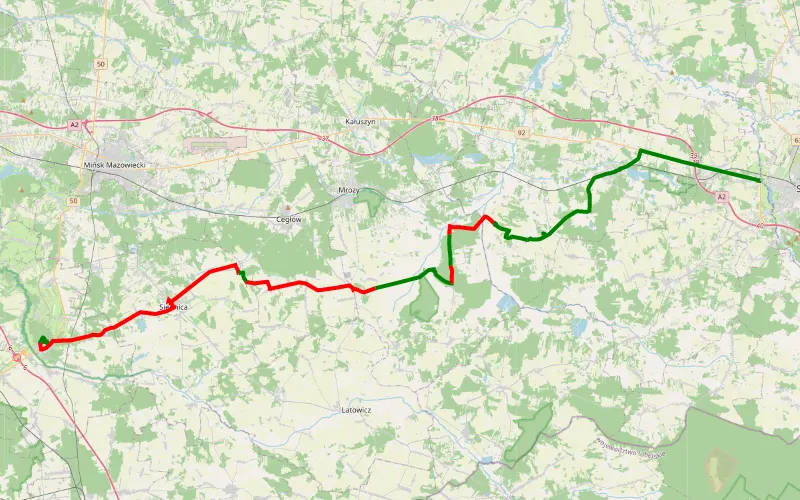
30% Offroad score
Easy
180m Highest peak
Kołbiel - Iganie Stare
Offroad score30%
No known restrictions91%
Distance48.17 km
Highest peak180m
Offroad14.66 km
1 year ago
View route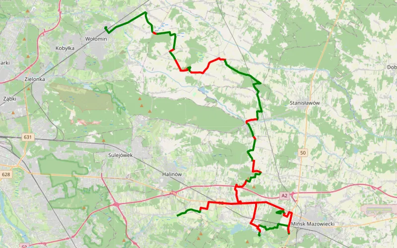
50% Offroad score
Moderate
165m Highest peak
Sławek - Duchnów biegun zimna
Offroad score50%
No known restrictions93%
Distance67.3 km
Highest peak165m
Offroad33.75 km
8 months ago
View route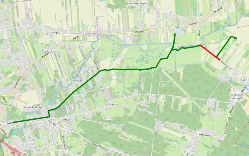
84% Offroad score
Difficult
109m Highest peak
Wiązowna - Kąck
Offroad score84%
No known restrictions99%
Distance5.26 km
Highest peak109m
Offroad4.44 km
1 year ago
View route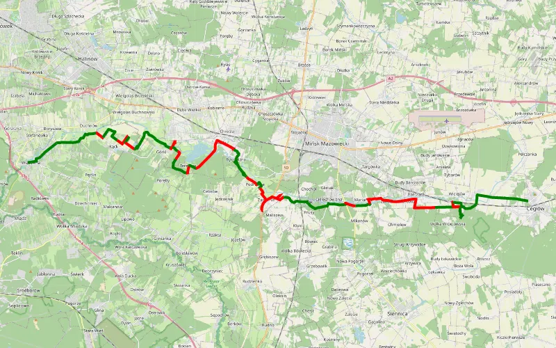
56% Offroad score
Moderate
177m Highest peak
Wiązowna - Cegłów
Offroad score56%
No known restrictions83%
Distance43.55 km
Highest peak177m
Offroad24.45 km
2 years ago
View route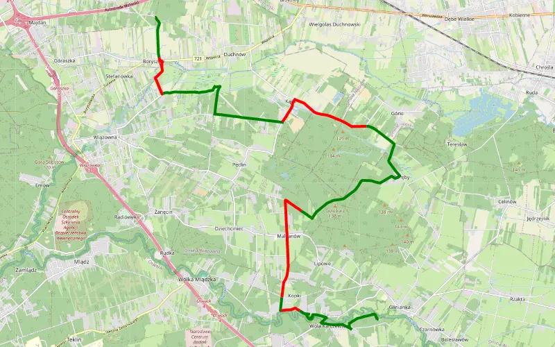
61% Offroad score
Moderate
145m Highest peak
Michałówek - Glinianka
Offroad score61%
No known restrictions98%
Distance19.41 km
Highest peak145m
Offroad11.9 km
2 years ago
View route