



Routes
Otwock County/ Masovian Voivodeship
Showing 24 routes // Page 2

100% Offroad score
Difficult
159m Highest peak
Regut - Tabór
Offroad score100%
No known restrictions87%
Distance21.33 km
Highest peak159m
Offroad21.33 km
1 year ago
View route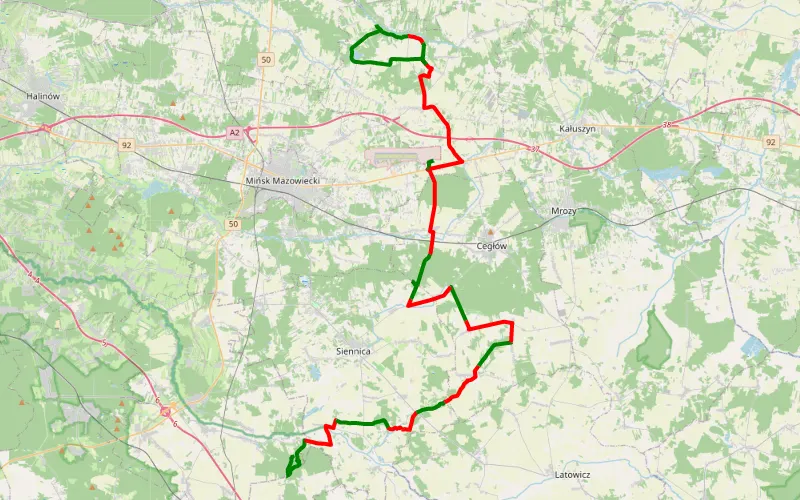
41% Offroad score
Moderate
205m Highest peak
WW1
Offroad score41%
No known restrictions94%
Distance56.1 km
Highest peak205m
Offroad22.77 km
11 months ago
View route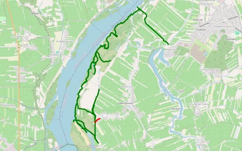
98% Offroad score
Difficult
110m Highest peak
Wysoczyn - Piwonin
Offroad score98%
No known restrictions99%
Distance16.38 km
Highest peak110m
Offroad16 km
1 year ago
View route
60% Offroad score
Moderate
174m Highest peak
Wiązowna - Mienia
Offroad score60%
No known restrictions90%
Distance39 km
Highest peak174m
Offroad23.45 km
5 months ago
View route
78% Offroad score
Difficult
113m Highest peak
Nadwiśle - Emilianów
Offroad score78%
No known restrictions99%
Distance15.18 km
Highest peak113m
Offroad11.79 km
6 months ago
View route
66% Offroad score
Moderate
115m Highest peak
Błota - Otwock- Józefów - Błota
Offroad score66%
No known restrictions97%
Distance25.26 km
Highest peak115m
Offroad16.7 km
1 year ago
View route
64% Offroad score
Moderate
102m Highest peak
Miedzeszyn Nowy - Świdry Wielkie
Offroad score64%
No known restrictions99%
Distance11.17 km
Highest peak102m
Offroad7.16 km
11 months ago
View route
69% Offroad score
Moderate
176m Highest peak
Jagodne - Kołbiel-Krystyna-Wola Rębkowska
Offroad score69%
No known restrictions92%
Distance54.61 km
Highest peak176m
Offroad37.48 km
6 months ago
View route
50% Offroad score
Moderate
104m Highest peak
Miedzeszyn Nowy - Świdry Wielkie
Offroad score50%
No known restrictions99%
Distance24.08 km
Highest peak104m
Offroad12.11 km
1 year ago
View route
64% Offroad score
Moderate
168m Highest peak
Kołbiel
Offroad score64%
No known restrictions85%
Distance40.73 km
Highest peak168m
Offroad25.91 km
11 months ago
View route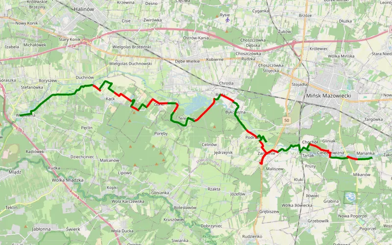
56% Offroad score
Moderate
148m Highest peak
Droga dla lekkich terenówek
Offroad score56%
No known restrictions90%
Distance30.9 km
Highest peak148m
Offroad17.4 km
11 months ago
View route
55% Offroad score
Moderate
172m Highest peak
Wiązowna - Jędrzejów
Offroad score55%
No known restrictions88%
Distance37.63 km
Highest peak172m
Offroad20.61 km
1 year ago
View route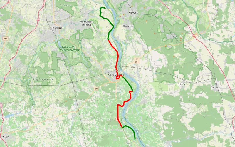
35% Offroad score
Easy
145m Highest peak
Ciszyca - Przylot
Offroad score35%
No known restrictions99%
Distance34.92 km
Highest peak145m
Offroad12.31 km
10 months ago
View route
35% Offroad score
Easy
113m Highest peak
Kępa Gliniecka - Osiedle Wilga
Offroad score35%
No known restrictions99%
Distance34.84 km
Highest peak113m
Offroad12.24 km
10 months ago
View route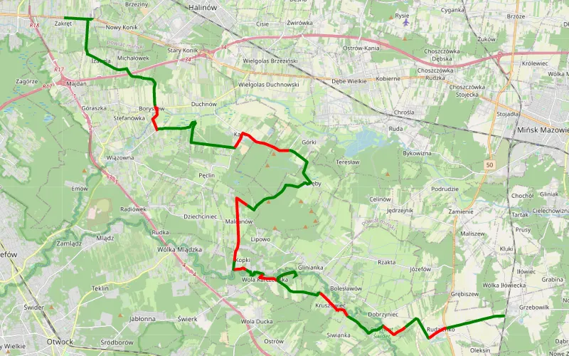
63% Offroad score
Moderate
148m Highest peak
Zakręt - Grzebowilk
Offroad score63%
No known restrictions98%
Distance34.15 km
Highest peak148m
Offroad21.44 km
2 years ago
View route
84% Offroad score
Difficult
145m Highest peak
Anielin - Zabieżki
Offroad score84%
No known restrictions86%
Distance24.65 km
Highest peak145m
Offroad20.73 km
1 year ago
View route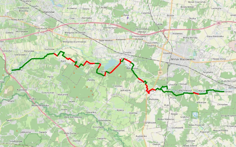
62% Offroad score
Moderate
156m Highest peak
Wiązowna - Zakole Wiktorowo
Offroad score62%
No known restrictions90%
Distance30.85 km
Highest peak156m
Offroad19.24 km
6 months ago
View route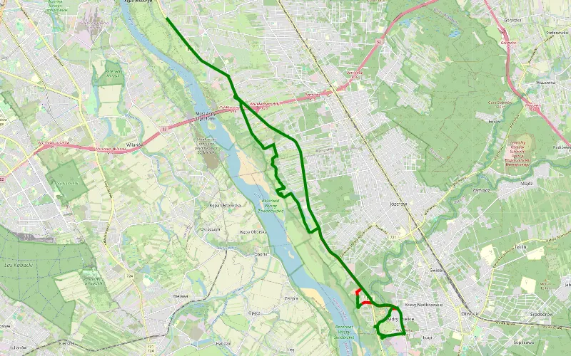
67% Offroad score
Moderate
109m Highest peak
Miedzeszyn Nowy - Kuligów
Offroad score67%
No known restrictions99%
Distance12.37 km
Highest peak109m
Offroad8.31 km
11 months ago
View route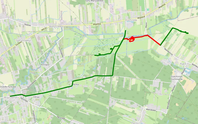
77% Offroad score
Difficult
107m Highest peak
Duchnów - Wiązowna
Offroad score77%
No known restrictions99%
Distance10.07 km
Highest peak107m
Offroad7.76 km
9 months ago
View route
57% Offroad score
Moderate
156m Highest peak
Trasa zlotu grupy grand vitara polska
Offroad score57%
No known restrictions98%
Distance37.99 km
Highest peak156m
Offroad21.66 km
3 years ago
View route
66% Offroad score
Moderate
121m Highest peak
Nadwislanska
Offroad score66%
No known restrictions98%
Distance31.15 km
Highest peak121m
Offroad20.64 km
1 year ago
View route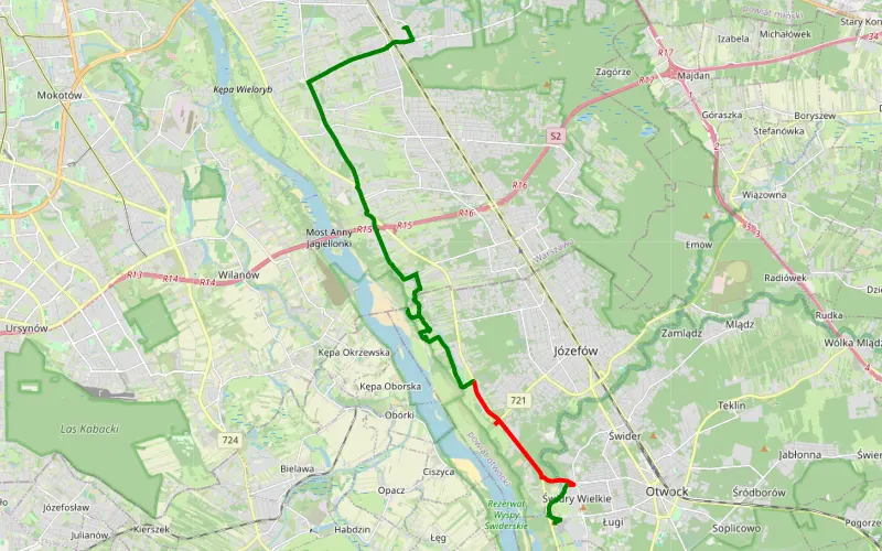
66% Offroad score
Moderate
109m Highest peak
Międzylesie - Świdry Wielkie
Offroad score66%
No known restrictions99%
Distance12.54 km
Highest peak109m
Offroad8.23 km
1 year ago
View route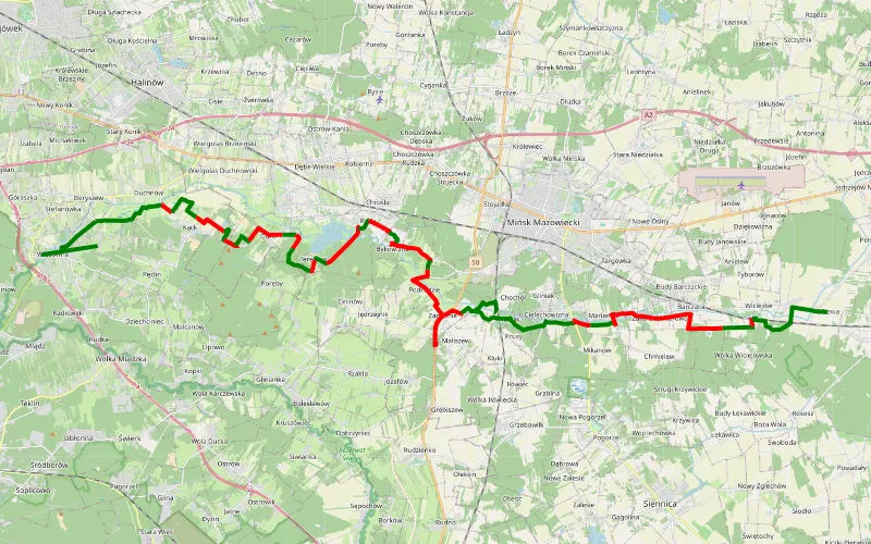
49% Offroad score
Moderate
178m Highest peak
Pęclin - Mienia
Offroad score49%
No known restrictions90%
Distance42.34 km
Highest peak178m
Offroad20.86 km
5 months ago
View route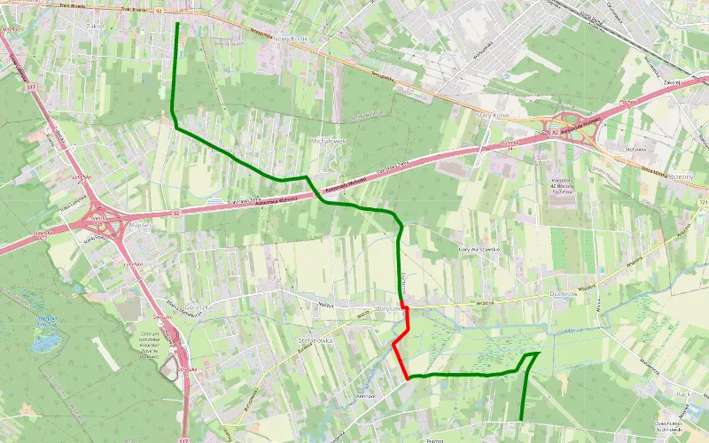
78% Offroad score
Difficult
123m Highest peak
Zakręt - Pęclin
Offroad score78%
No known restrictions99%
Distance5.24 km
Highest peak123m
Offroad4.09 km
2 months ago
View route