



Routes
Otwock County/ Masovian Voivodeship
Showing 24 routes // Page 3
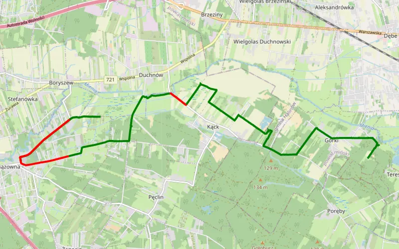
67% Offroad score
Moderate
114m Highest peak
Wiązowna - Górki
Offroad score67%
No known restrictions99%
Distance10.02 km
Highest peak114m
Offroad6.74 km
11 months ago
View route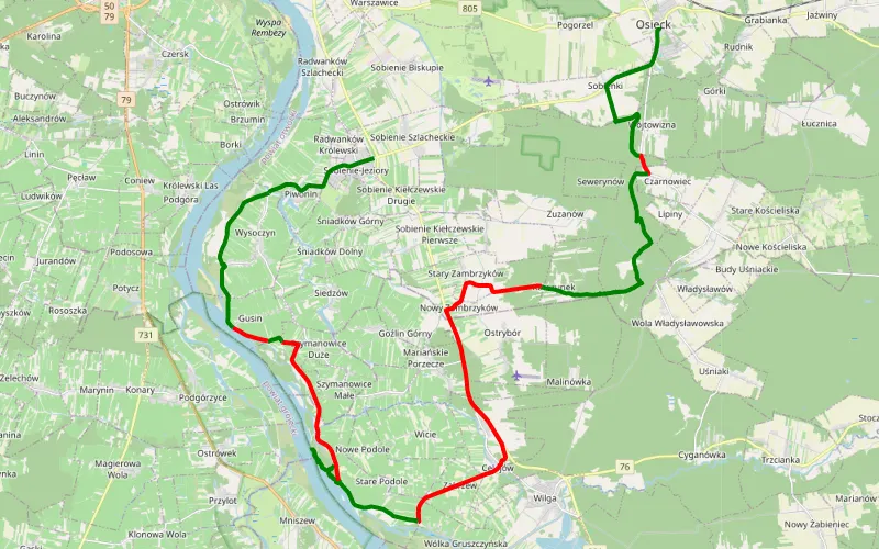
54% Offroad score
Moderate
123m Highest peak
Trasa
Offroad score54%
No known restrictions99%
Distance36.39 km
Highest peak123m
Offroad19.61 km
1 year ago
View route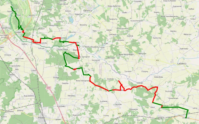
43% Offroad score
Moderate
168m Highest peak
Sępochów - Chromin
Offroad score43%
No known restrictions98%
Distance44.83 km
Highest peak168m
Offroad19.31 km
3 years ago
View route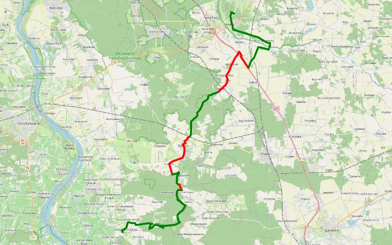
62% Offroad score
Moderate
159m Highest peak
Zambrzyków - Kołbiel
Offroad score62%
No known restrictions99%
Distance30.3 km
Highest peak159m
Offroad18.92 km
1 year ago
View route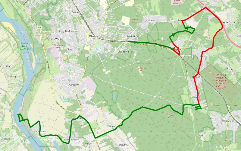
56% Offroad score
Moderate
148m Highest peak
Off Pogorzel - Wisła
Offroad score56%
No known restrictions89%
Distance24.28 km
Highest peak148m
Offroad13.54 km
1 year ago
View route
64% Offroad score
Moderate
126m Highest peak
Piotrowice - Czarnówiec
Offroad score64%
No known restrictions99%
Distance27.51 km
Highest peak126m
Offroad17.47 km
1 year ago
View route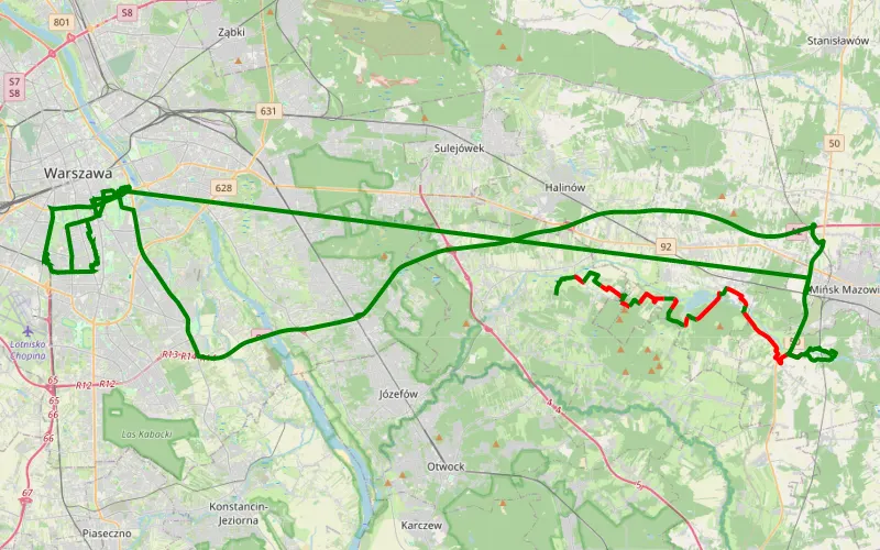
49% Offroad score
Moderate
141m Highest peak
Duchnów - Stojadła
Offroad score49%
No known restrictions91%
Distance25.86 km
Highest peak141m
Offroad12.64 km
4 months ago
View route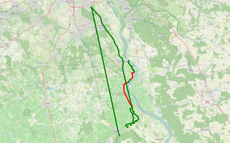
55% Offroad score
Moderate
132m Highest peak
Ostrówek - Warka
Offroad score55%
No known restrictions81%
Distance29.77 km
Highest peak132m
Offroad16.42 km
3 months ago
View route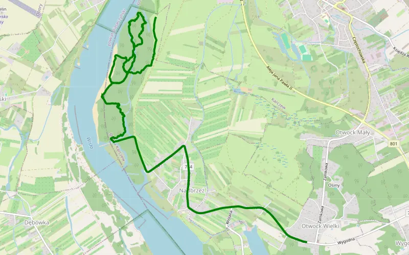
100% Offroad score
Difficult
93m Highest peak
Gąssy - Otwock Wielki
Offroad score100%
No known restrictions99%
Distance6.74 km
Highest peak93m
Offroad6.74 km
1 year ago
View route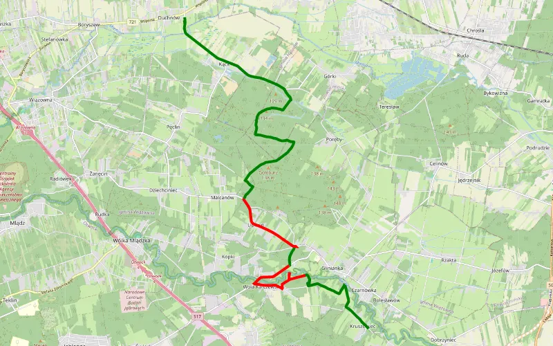
59% Offroad score
Moderate
127m Highest peak
Duchnów - Siwianka
Offroad score59%
No known restrictions82%
Distance12.7 km
Highest peak127m
Offroad7.52 km
14 days ago
View route
55% Offroad score
Moderate
169m Highest peak
Lubice - Sępochów
Offroad score55%
No known restrictions99%
Distance58.33 km
Highest peak169m
Offroad31.92 km
1 year ago
View route
70% Offroad score
Difficult
192m Highest peak
Władzin - Górzno
Offroad score70%
No known restrictions95%
Distance28.19 km
Highest peak192m
Offroad19.79 km
3 years ago
View route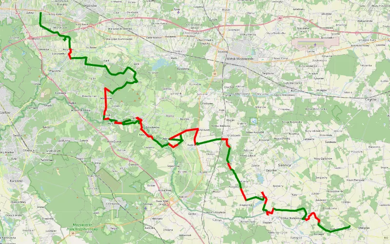
61% Offroad score
Moderate
148m Highest peak
Zakręt- Wielgolas
Offroad score61%
No known restrictions95%
Distance62.94 km
Highest peak148m
Offroad38.39 km
5 months ago
View route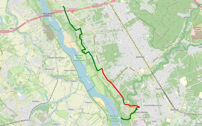
72% Offroad score
Difficult
95m Highest peak
Świder P38
Offroad score72%
No known restrictions99%
Distance13.07 km
Highest peak95m
Offroad9.42 km
2 years ago
View route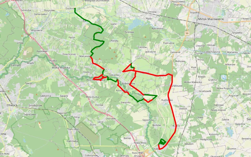
41% Offroad score
Moderate
145m Highest peak
Duchnów - Kołbiel
Offroad score41%
No known restrictions94%
Distance46.02 km
Highest peak145m
Offroad18.95 km
8 months ago
View route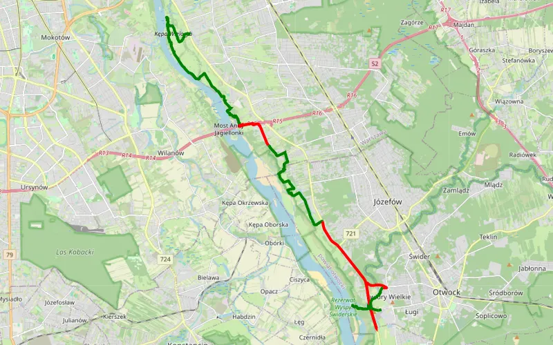
65% Offroad score
Moderate
104m Highest peak
25.12.2024 - test trasy nad Wisła
Offroad score65%
No known restrictions98%
Distance26.85 km
Highest peak104m
Offroad17.38 km
1 year ago
View route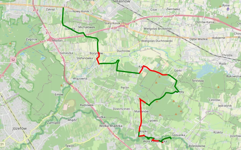
60% Offroad score
Moderate
132m Highest peak
Zakręt - Wola Karczewska
Offroad score60%
No known restrictions98%
Distance24.34 km
Highest peak132m
Offroad14.66 km
1 year ago
View route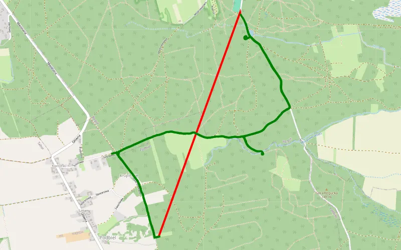
79% Offroad score
Difficult
141m Highest peak
Regut - Podbiel
Offroad score79%
No known restrictions90%
Distance9.79 km
Highest peak141m
Offroad7.7 km
8 months ago
View route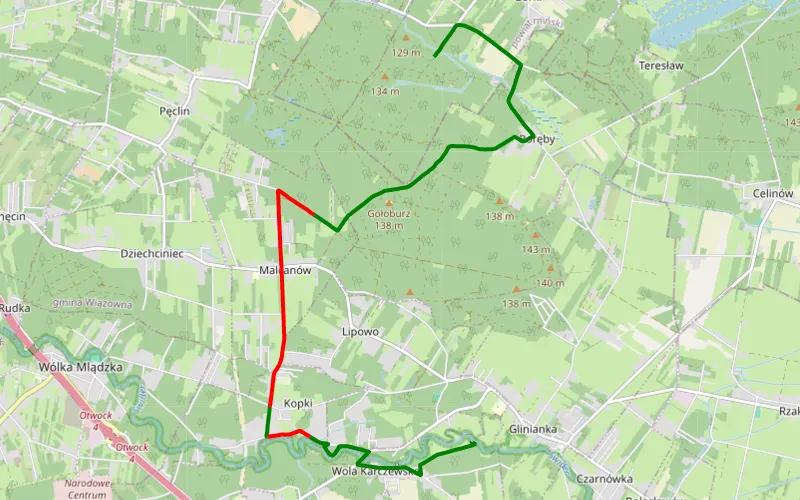
65% Offroad score
Moderate
134m Highest peak
Lc1
Offroad score65%
No known restrictions95%
Distance10.36 km
Highest peak134m
Offroad6.75 km
4 months ago
View route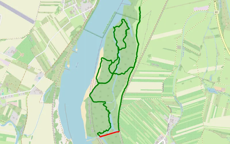
96% Offroad score
Difficult
96m Highest peak
28.12.2924 Z fb
Offroad score96%
No known restrictions98%
Distance9.07 km
Highest peak96m
Offroad8.75 km
1 year ago
View route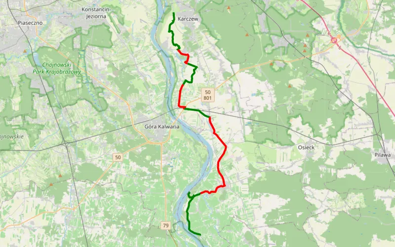
53% Offroad score
Moderate
102m Highest peak
Wzdłuż Wisły, Otwock Wielki, Sobienie Jeziory i okolice
Offroad score53%
No known restrictions99%
Distance33.21 km
Highest peak102m
Offroad17.46 km
1 year ago
View route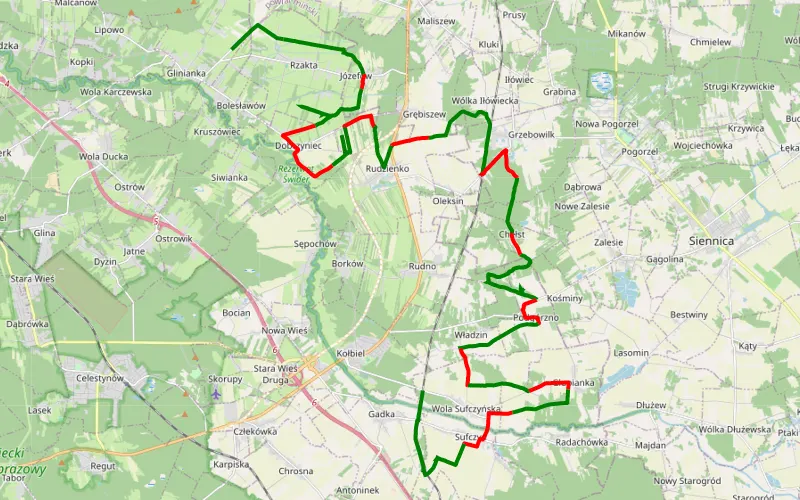
68% Offroad score
Moderate
158m Highest peak
Glinianka - Gadka
Offroad score68%
No known restrictions92%
Distance42.46 km
Highest peak158m
Offroad28.95 km
3 years ago
View route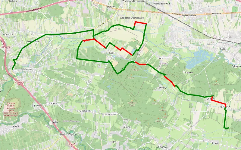
72% Offroad score
Difficult
146m Highest peak
Wiązowna - Jędrzejnik
Offroad score72%
No known restrictions87%
Distance23.23 km
Highest peak146m
Offroad16.71 km
2 years ago
View route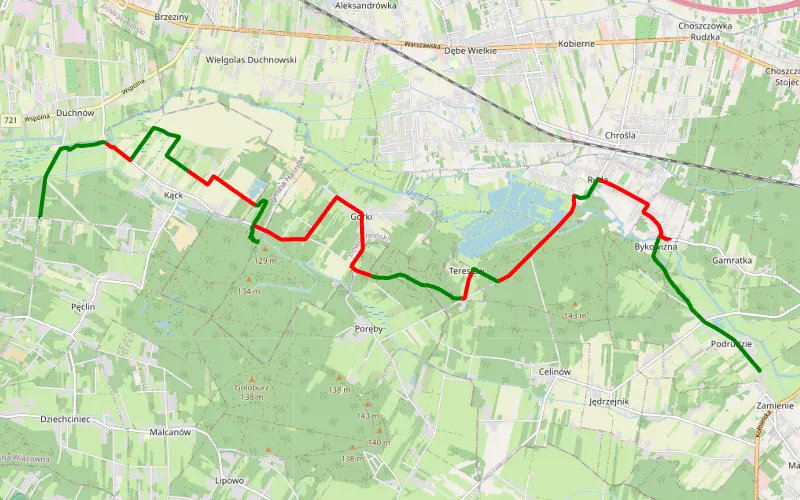
49% Offroad score
Moderate
133m Highest peak
Pęclin - Zamienie
Offroad score49%
No known restrictions82%
Distance17.51 km
Highest peak133m
Offroad8.65 km
1 month ago
View route