



Routes
Otwock County/ Masovian Voivodeship
Showing 24 routes // Page 18
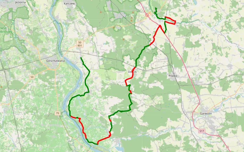
54% Offroad score
Moderate
150m Highest peak
Dziecinów - Kołbiel
Offroad score54%
No known restrictions96%
Distance57.87 km
Highest peak150m
Offroad31.31 km
2 years ago
View route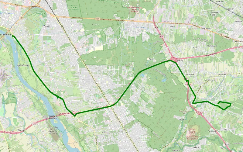
100% Offroad score
Difficult
102m Highest peak
Wiązowna
Offroad score100%
No known restrictions99%
Distance1.74 km
Highest peak102m
Offroad1.74 km
4 years ago
View route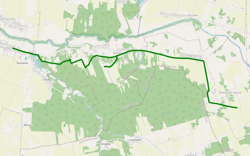
100% Offroad score
Difficult
146m Highest peak
Sufczyn - Kolonia Starogrodzka
Offroad score100%
No known restrictions90%
Distance1.05 km
Highest peak146m
Offroad1.05 km
11 months ago
View route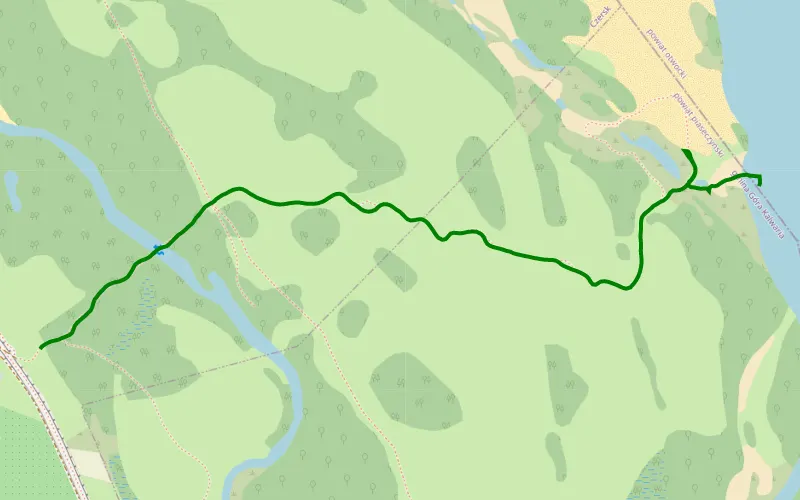
100% Offroad score
Difficult
93m Highest peak
Checking Czersk - Radical Radwanków Szlachecki #FeelingNoble
Offroad score100%
No known restrictions4%
Distance1.74 km
Highest peak93m
Offroad1.74 km
3 months ago
View route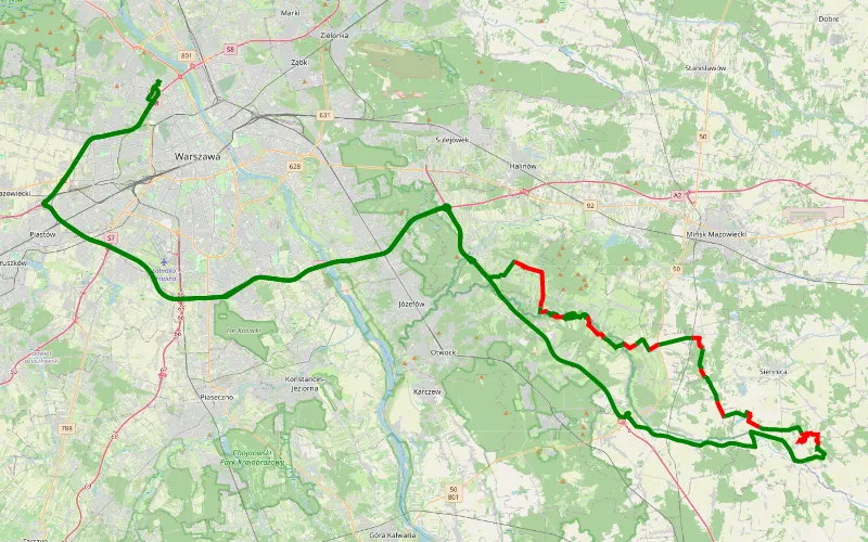
53% Offroad score
Moderate
160m Highest peak
Marymont-Kaskada - Marymont
Offroad score53%
No known restrictions93%
Distance44.98 km
Highest peak160m
Offroad23.96 km
1 year ago
View route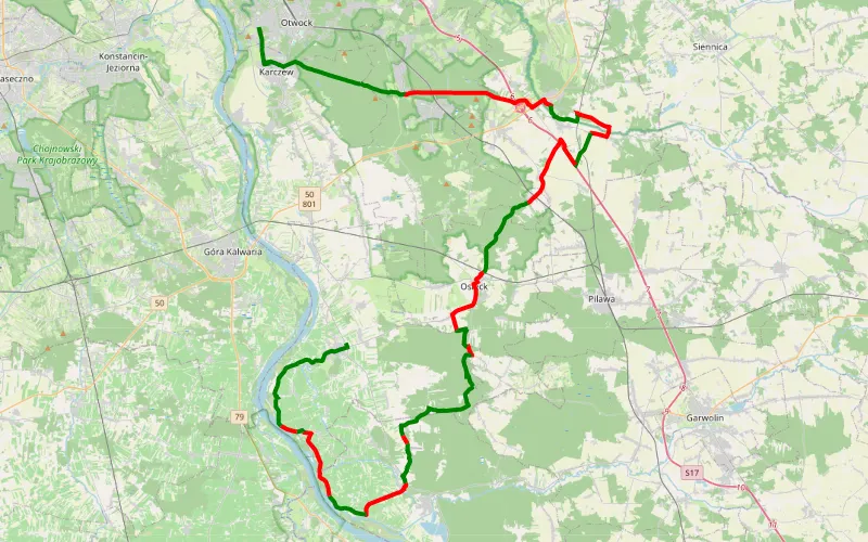
50% Offroad score
Moderate
156m Highest peak
Świdry Wielkie - Sobienie Jeziory
Offroad score50%
No known restrictions96%
Distance67.85 km
Highest peak156m
Offroad34.19 km
3 years ago
View route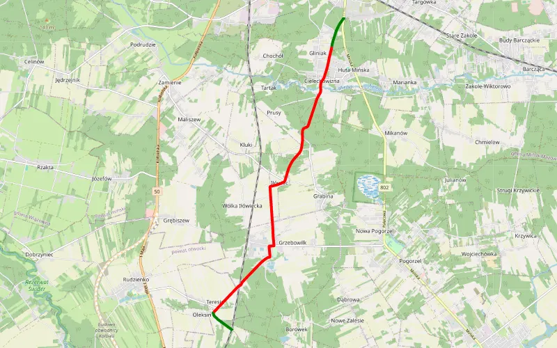
16% Offroad score
Easy
152m Highest peak
Teresin - Mińsk Mazowiecki
Offroad score16%
No known restrictions99%
Distance9.1 km
Highest peak152m
Offroad1.44 km
3 years ago
View route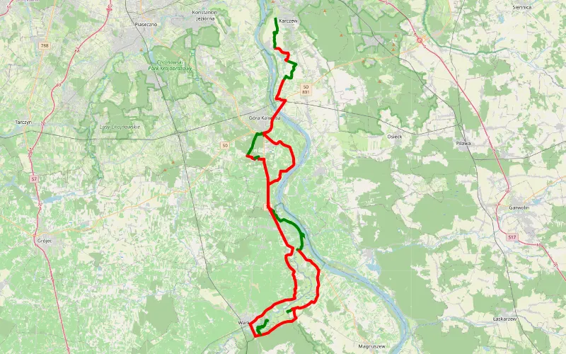
28% Offroad score
Easy
135m Highest peak
Góra Kalwaria - Warka - Karczew
Offroad score28%
No known restrictions97%
Distance89.71 km
Highest peak135m
Offroad24.78 km
5 years ago
View route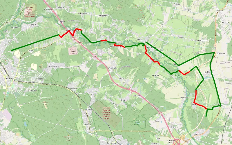
60% Offroad score
Moderate
133m Highest peak
Tolin - Glinianka
Offroad score60%
No known restrictions97%
Distance24.59 km
Highest peak133m
Offroad14.85 km
2 years ago
View route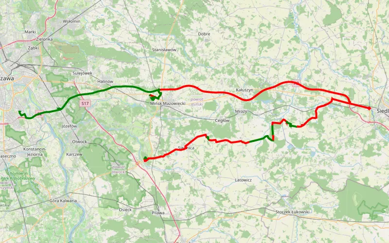
14% Offroad score
Easy
200m Highest peak
Kołbiel - Błonia Wilanowskie
Offroad score14%
No known restrictions94%
Distance129.46 km
Highest peak200m
Offroad18 km
1 year ago
View route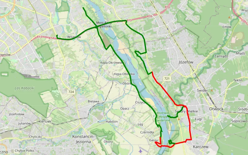
47% Offroad score
Moderate
101m Highest peak
Zawady - Powsinek
Offroad score47%
No known restrictions91%
Distance20.78 km
Highest peak101m
Offroad9.69 km
1 year ago
View route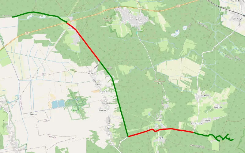
64% Offroad score
Moderate
148m Highest peak
Łukowiec - Ponurzyca
Offroad score64%
No known restrictions82%
Distance11.42 km
Highest peak148m
Offroad7.32 km
7 years ago
View route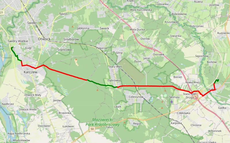
25% Offroad score
Easy
140m Highest peak
Kołbiel 6.01.21
Offroad score25%
No known restrictions77%
Distance21.57 km
Highest peak140m
Offroad5.46 km
5 years ago
View route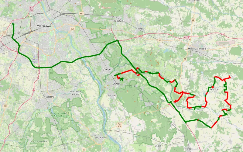
41% Offroad score
Moderate
168m Highest peak
Tolin - Blizne Łaszczyńskiego
Offroad score41%
No known restrictions98%
Distance100.92 km
Highest peak168m
Offroad41.58 km
1 month ago
View route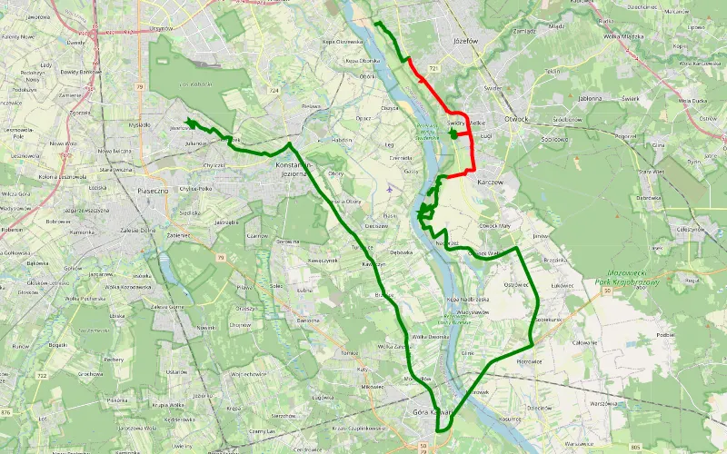
61% Offroad score
Moderate
100m Highest peak
C
Offroad score61%
No known restrictions96%
Distance23.47 km
Highest peak100m
Offroad14.3 km
2 years ago
View route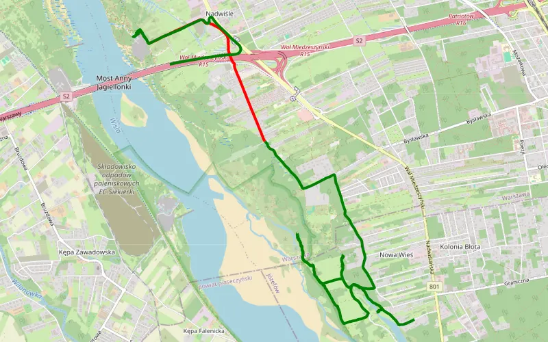
78% Offroad score
Difficult
88m Highest peak
Nad Wisłą
Offroad score78%
No known restrictions88%
Distance9.26 km
Highest peak88m
Offroad7.24 km
3 years ago
View route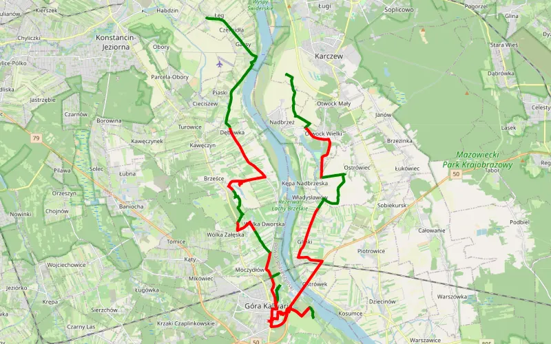
38% Offroad score
Easy
125m Highest peak
Przewóz - Łęg
Offroad score38%
No known restrictions90%
Distance41.75 km
Highest peak125m
Offroad15.85 km
2 years ago
View route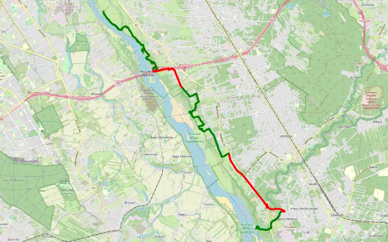
69% Offroad score
Moderate
97m Highest peak
Kuligów - Świdry Wielkie
Offroad score69%
No known restrictions95%
Distance20.43 km
Highest peak97m
Offroad14.02 km
2 years ago
View route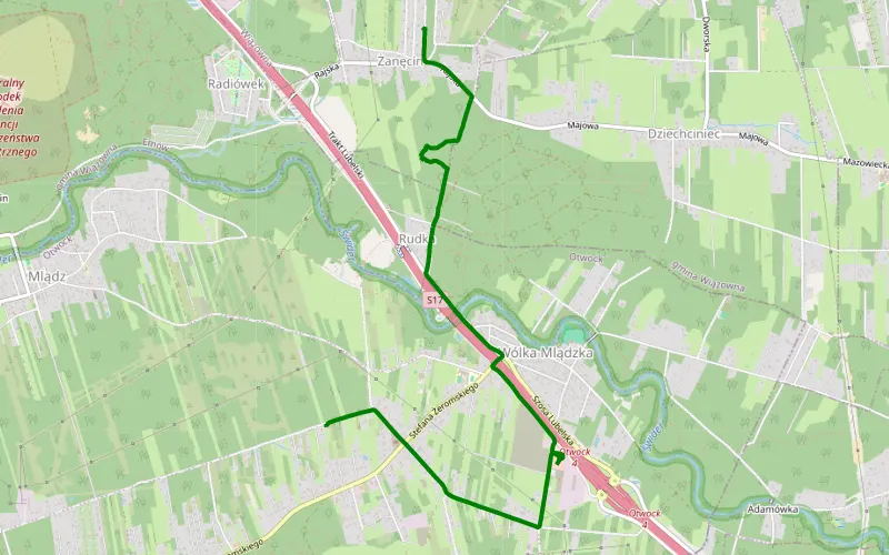
100% Offroad score
Difficult
115m Highest peak
Zanęcin - Wólka Mlądzka
Offroad score100%
No known restrictions93%
Distance1.1 km
Highest peak115m
Offroad1.1 km
1 year ago
View route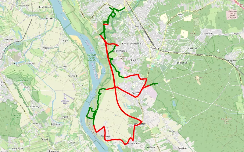
40% Offroad score
Moderate
104m Highest peak
HD 4x4
Offroad score40%
No known restrictions96%
Distance46.77 km
Highest peak104m
Offroad18.79 km
4 years ago
View route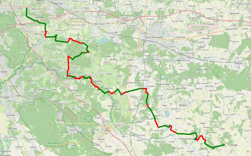
59% Offroad score
Moderate
145m Highest peak
Zakręt - Budy Wielgoleskie
Offroad score59%
No known restrictions94%
Distance53.62 km
Highest peak145m
Offroad31.58 km
3 years ago
View route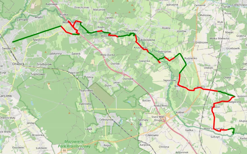
47% Offroad score
Moderate
151m Highest peak
Głupianka
Offroad score47%
No known restrictions97%
Distance38.86 km
Highest peak151m
Offroad18.09 km
3 years ago
View route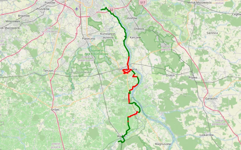
46% Offroad score
Moderate
135m Highest peak
Wilanów - Niemojewice
Offroad score46%
No known restrictions96%
Distance49.24 km
Highest peak135m
Offroad22.56 km
3 years ago
View route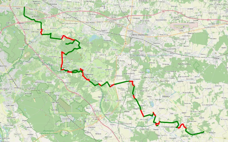
63% Offroad score
Moderate
144m Highest peak
Żurawka - Budy Wielgoleskie
Offroad score63%
No known restrictions93%
Distance60.98 km
Highest peak144m
Offroad38.41 km
4 years ago
View route