



Routes
Otwock County/ Masovian Voivodeship
Showing 24 routes // Page 16

63% Offroad score
Moderate
155m Highest peak
Michałówek - Dłużew
Offroad score63%
No known restrictions95%
Distance47.34 km
Highest peak155m
Offroad30.04 km
4 months ago
View route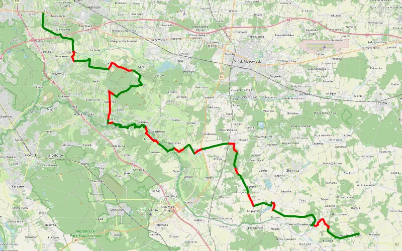
65% Offroad score
Moderate
156m Highest peak
LCAC, MAZOWSZE O2W, trasa nr1B, Zakręt-Wielgolas - WERSJA ŁATWIEJSZA
Offroad score65%
No known restrictions94%
Distance51.76 km
Highest peak156m
Offroad33.67 km
6 years ago
View route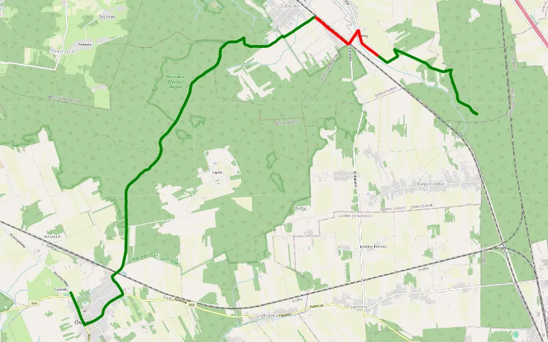
85% Offroad score
Difficult
145m Highest peak
Osieck - Augustówka
Offroad score85%
No known restrictions94%
Distance10.29 km
Highest peak145m
Offroad8.77 km
6 years ago
View route
59% Offroad score
Moderate
104m Highest peak
Wisla
Offroad score59%
No known restrictions96%
Distance41.61 km
Highest peak104m
Offroad24.51 km
11 months ago
View route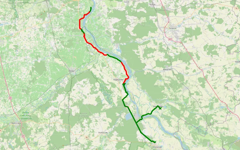
37% Offroad score
Easy
115m Highest peak
Brzumin - Uchacze
Offroad score37%
No known restrictions97%
Distance40.38 km
Highest peak115m
Offroad14.99 km
7 years ago
View route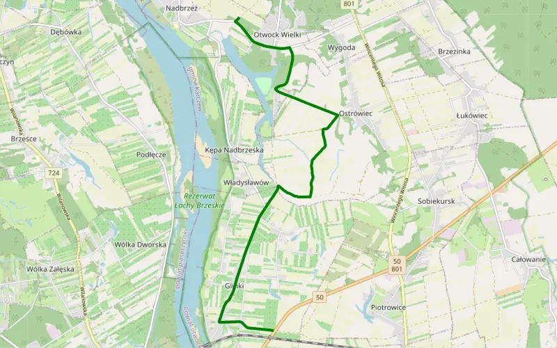
100% Offroad score
Difficult
92m Highest peak
Otwock Wielki - Kępa Gliniecka
Offroad score100%
No known restrictions99%
Distance3.78 km
Highest peak92m
Offroad3.78 km
5 years ago
View route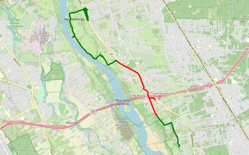
65% Offroad score
Moderate
133m Highest peak
Zbytki - Błota
Offroad score65%
No known restrictions98%
Distance11.24 km
Highest peak133m
Offroad7.28 km
6 years ago
View route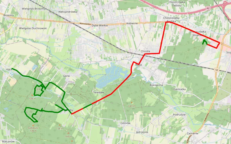
58% Offroad score
Moderate
145m Highest peak
Kąck - Choszczówka Stojecka
Offroad score58%
No known restrictions71%
Distance24.64 km
Highest peak145m
Offroad14.18 km
5 years ago
View route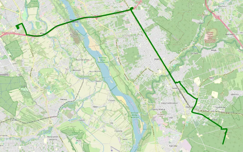
100% Offroad score
Difficult
121m Highest peak
Ys
Offroad score100%
No known restrictions42%
Distance3.26 km
Highest peak121m
Offroad3.26 km
3 years ago
View route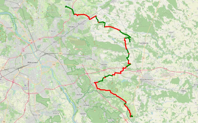
39% Offroad score
Easy
148m Highest peak
Radzymin - Kołbiel
Offroad score39%
No known restrictions98%
Distance83.32 km
Highest peak148m
Offroad32.49 km
5 years ago
View route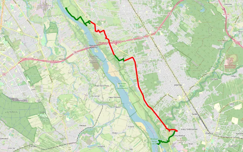
39% Offroad score
Easy
104m Highest peak
Kuligów - Świdry Wielkie
Offroad score39%
No known restrictions96%
Distance18.85 km
Highest peak104m
Offroad7.37 km
10 days ago
View route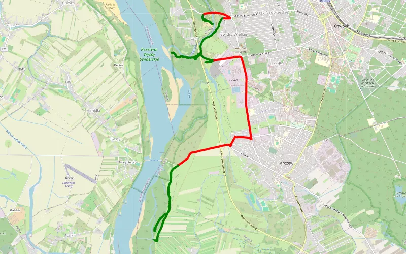
64% Offroad score
Moderate
112m Highest peak
Otwock-karczew przy Wiśle.
Offroad score64%
No known restrictions98%
Distance13.85 km
Highest peak112m
Offroad8.8 km
7 years ago
View route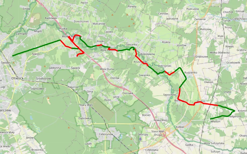
49% Offroad score
Moderate
155m Highest peak
Marianki świder
Offroad score49%
No known restrictions95%
Distance32.9 km
Highest peak155m
Offroad16.13 km
6 years ago
View route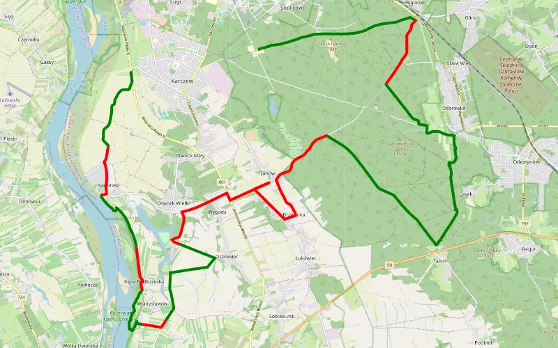
63% Offroad score
Moderate
149m Highest peak
Przewóz - Anielin
Offroad score63%
No known restrictions71%
Distance38.05 km
Highest peak149m
Offroad24.01 km
1 year ago
View route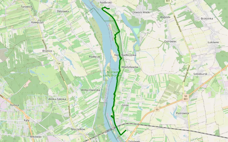
100% Offroad score
Difficult
92m Highest peak
Ostrówek - Nadbrzeż
Offroad score100%
No known restrictions49%
Distance7.98 km
Highest peak92m
Offroad7.98 km
6 months ago
View route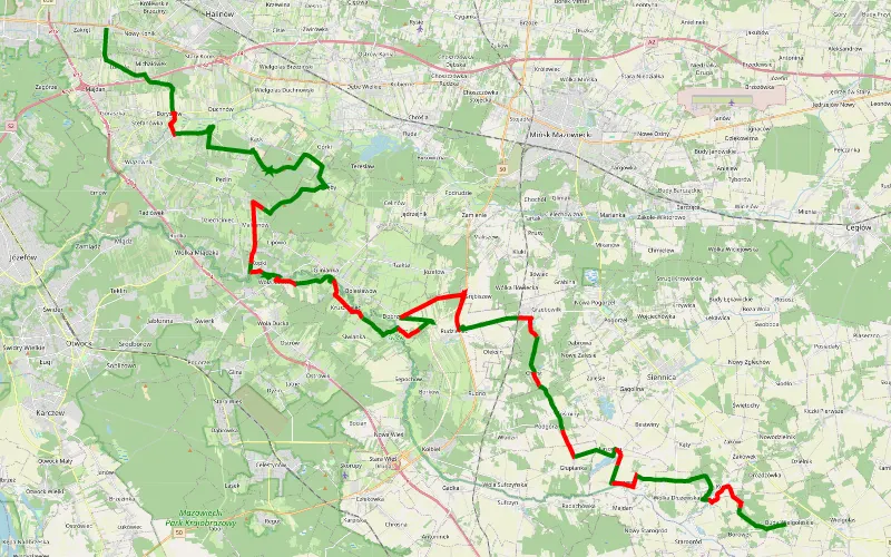
63% Offroad score
Moderate
155m Highest peak
Zmieszczona felga - na wiosnę będzie ciekawie
Offroad score63%
No known restrictions94%
Distance58.33 km
Highest peak155m
Offroad36.54 km
8 months ago
View route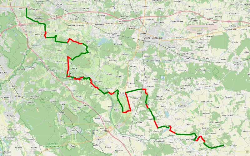
59% Offroad score
Moderate
156m Highest peak
Zakręt - Budy Wielgoleskie
Offroad score59%
No known restrictions95%
Distance58.36 km
Highest peak156m
Offroad34.22 km
1 year ago
View route
61% Offroad score
Moderate
112m Highest peak
Otwock
Offroad score61%
No known restrictions96%
Distance24 km
Highest peak112m
Offroad14.65 km
5 months ago
View route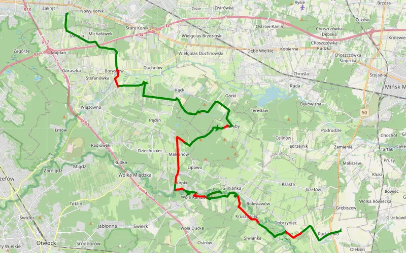
68% Offroad score
Moderate
135m Highest peak
Zakręt - Rudzienko
Offroad score68%
No known restrictions93%
Distance32.58 km
Highest peak135m
Offroad22.3 km
4 years ago
View route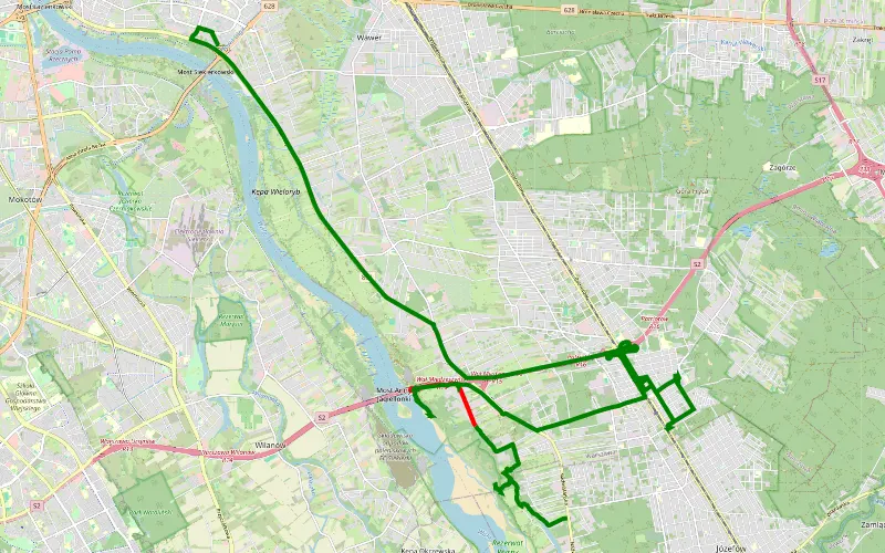
78% Offroad score
Difficult
94m Highest peak
Wielkie JOŁ
Offroad score78%
No known restrictions88%
Distance8.38 km
Highest peak94m
Offroad6.54 km
4 months ago
View route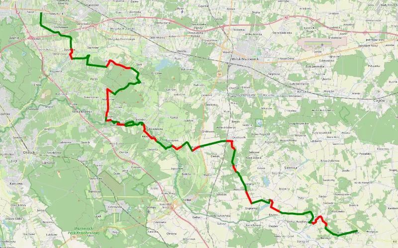
61% Offroad score
Moderate
150m Highest peak
Zakręt - Budy Wielgoleskie
Offroad score61%
No known restrictions95%
Distance53.78 km
Highest peak150m
Offroad32.85 km
1 year ago
View route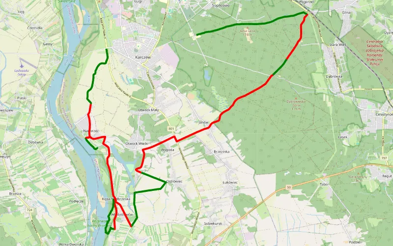
47% Offroad score
Moderate
115m Highest peak
Przewóz Anielin
Offroad score47%
No known restrictions77%
Distance30.96 km
Highest peak115m
Offroad14.47 km
1 year ago
View route
52% Offroad score
Moderate
121m Highest peak
Błota - Stefanów
Offroad score52%
No known restrictions94%
Distance51.07 km
Highest peak121m
Offroad26.45 km
2 years ago
View route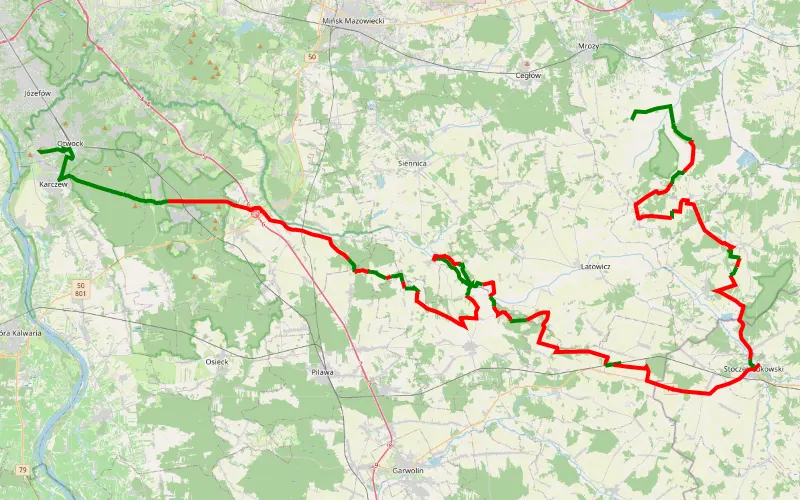
25% Offroad score
Easy
193m Highest peak
Śladem wierzb nr 22 wersja 2
Offroad score25%
No known restrictions96%
Distance104.96 km
Highest peak193m
Offroad25.88 km
2 years ago
View route