



Routes
Ostrzeszów County/ Greater Poland Voivodeship
Showing 17 routes

59% Offroad score
Moderate
258m Highest peak
Koza Wielka
Offroad score59%
No known restrictions86%
Distance37.52 km
Highest peak258m
Offroad22.23 km
3 years ago
View route
68% Offroad score
Moderate
281m Highest peak
Góra - Jawor
Offroad score68%
No known restrictions82%
Distance26.32 km
Highest peak281m
Offroad17.81 km
3 years ago
View route
36% Offroad score
Easy
266m Highest peak
Gola - Kobyla Góra
Offroad score36%
No known restrictions90%
Distance48.25 km
Highest peak266m
Offroad17.16 km
2 years ago
View route
76% Offroad score
Difficult
272m Highest peak
Syców - Marcinki
Offroad score76%
No known restrictions74%
Distance19.35 km
Highest peak272m
Offroad14.65 km
1 year ago
View route
64% Offroad score
Moderate
264m Highest peak
Góra - Jawor
Offroad score64%
No known restrictions73%
Distance29.45 km
Highest peak264m
Offroad18.85 km
2 years ago
View route
73% Offroad score
Difficult
285m Highest peak
Syców - Oleśnica
Offroad score73%
No known restrictions77%
Distance20.89 km
Highest peak285m
Offroad15.25 km
3 years ago
View route
64% Offroad score
Moderate
277m Highest peak
Oława 4cale 25.01.2026
Offroad score64%
No known restrictions51%
Distance130.86 km
Highest peak277m
Offroad83.45 km
9 months ago
View route
40% Offroad score
Moderate
280m Highest peak
Na najwyższą górę Wielkopolski
Offroad score40%
No known restrictions88%
Distance49.99 km
Highest peak280m
Offroad19.91 km
5 years ago
View route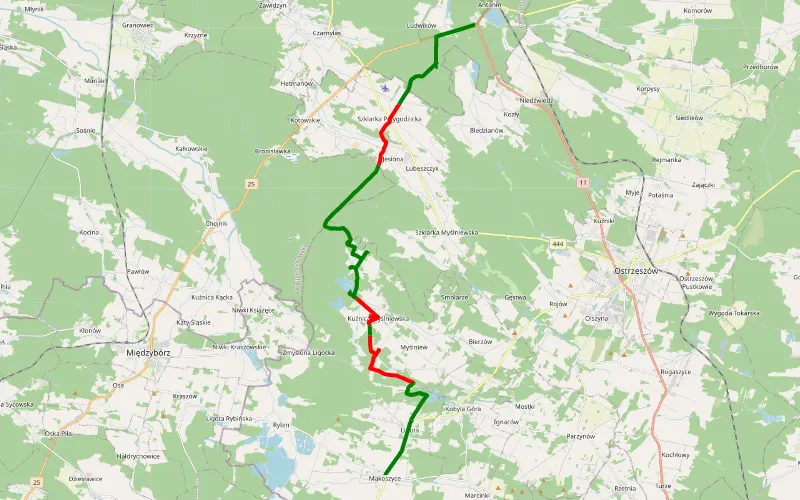
66% Offroad score
Moderate
224m Highest peak
Mąkoszyce - Antonin
Offroad score66%
No known restrictions60%
Distance24.22 km
Highest peak224m
Offroad15.97 km
5 years ago
View route
59% Offroad score
Moderate
284m Highest peak
Syców-Kobyla Góra - kółeczko na górę pod krzyż milenijny
Offroad score59%
No known restrictions83%
Distance38.86 km
Highest peak284m
Offroad22.87 km
5 years ago
View route
82% Offroad score
Difficult
221m Highest peak
Syców - Ludwików
Offroad score82%
No known restrictions44%
Distance36.43 km
Highest peak221m
Offroad29.97 km
4 years ago
View route
76% Offroad score
Difficult
248m Highest peak
Weronikopole - Marcinki
Offroad score76%
No known restrictions65%
Distance7.04 km
Highest peak248m
Offroad5.33 km
7 years ago
View route
84% Offroad score
Difficult
184m Highest peak
Syców - Antonin
Offroad score84%
No known restrictions41%
Distance35.22 km
Highest peak184m
Offroad29.7 km
4 years ago
View route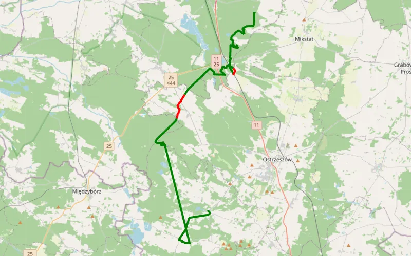
86% Offroad score
Difficult
193m Highest peak
Kobyla Góra - Mąkoszyce
Offroad score86%
No known restrictions27%
Distance25.04 km
Highest peak193m
Offroad21.64 km
7 years ago
View route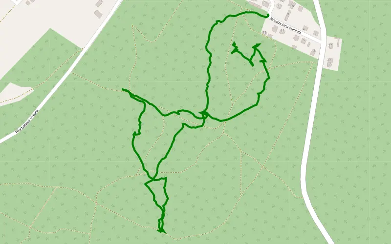
100% Offroad score
Difficult
234m Highest peak
Góra
Offroad score100%
No known restrictions1%
Distance2.08 km
Highest peak234m
Offroad2.08 km
4 years ago
View route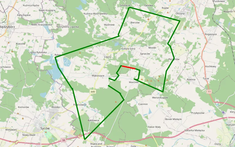
69% Offroad score
Moderate
218m Highest peak
Mąkoszyce off road
Offroad score69%
No known restrictions17%
Distance4.4 km
Highest peak218m
Offroad3.04 km
8 years ago
View route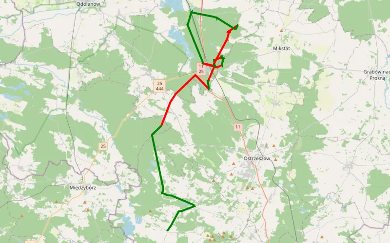
22% Offroad score
Easy
185m Highest peak
Mąkoszyce - Antonin
Offroad score22%
No known restrictions17%
Distance25.95 km
Highest peak185m
Offroad5.62 km
8 years ago
View route