



Routes
Oborniki County/ Greater Poland Voivodeship
Showing 24 routes
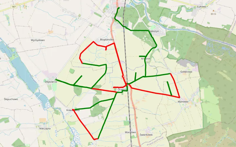
59% Offroad score
Moderate
96m Highest peak
Ocieszyn - Oborniki
Offroad score59%
No known restrictions98%
Distance35.89 km
Highest peak96m
Offroad21.25 km
1 year ago
View route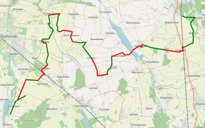
56% Offroad score
Moderate
97m Highest peak
Radzyny - Gołaszyn
Offroad score56%
No known restrictions96%
Distance38.75 km
Highest peak97m
Offroad21.63 km
1 year ago
View route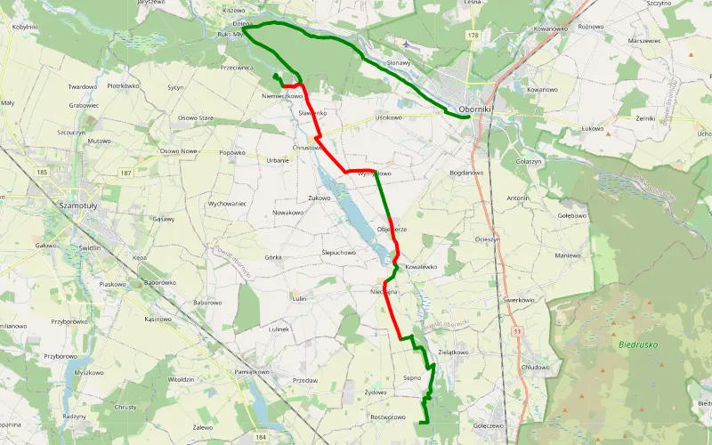
62% Offroad score
Moderate
88m Highest peak
Rostworowo - Oborniki
Offroad score62%
No known restrictions83%
Distance28.76 km
Highest peak88m
Offroad17.9 km
2 months ago
View route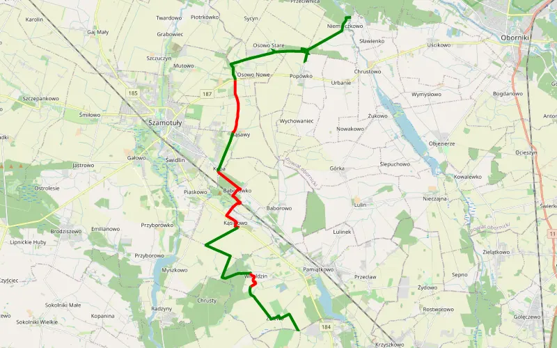
64% Offroad score
Moderate
93m Highest peak
Niemieczkowo - Przybroda
Offroad score64%
No known restrictions99%
Distance20.15 km
Highest peak93m
Offroad12.99 km
1 year ago
View route
88% Offroad score
Difficult
84m Highest peak
Oborniki - Obrzycko
Offroad score88%
No known restrictions77%
Distance27.15 km
Highest peak84m
Offroad23.96 km
4 months ago
View route
73% Offroad score
Difficult
146m Highest peak
Naramowice - Szamotuły by Miki
Offroad score73%
No known restrictions82%
Distance57.58 km
Highest peak146m
Offroad42.17 km
10 months ago
View route
91% Offroad score
Difficult
114m Highest peak
Skrzetusz - Sobolewo
Offroad score91%
No known restrictions99%
Distance12.65 km
Highest peak114m
Offroad11.45 km
2 years ago
View route
55% Offroad score
Moderate
108m Highest peak
Obrzycko
Offroad score55%
No known restrictions82%
Distance45.25 km
Highest peak108m
Offroad24.87 km
10 months ago
View route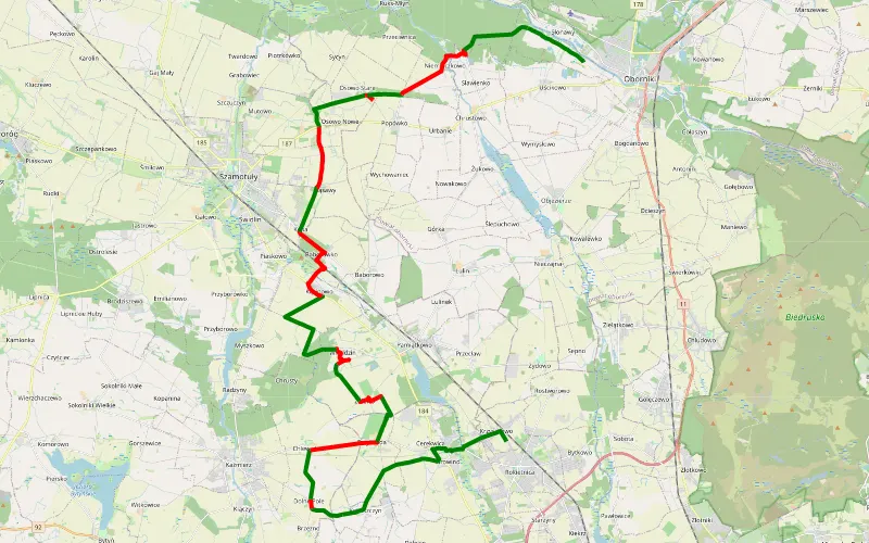
58% Offroad score
Moderate
94m Highest peak
Krzyszkowo - Uścikowo
Offroad score58%
No known restrictions92%
Distance37.17 km
Highest peak94m
Offroad21.59 km
1 year ago
View route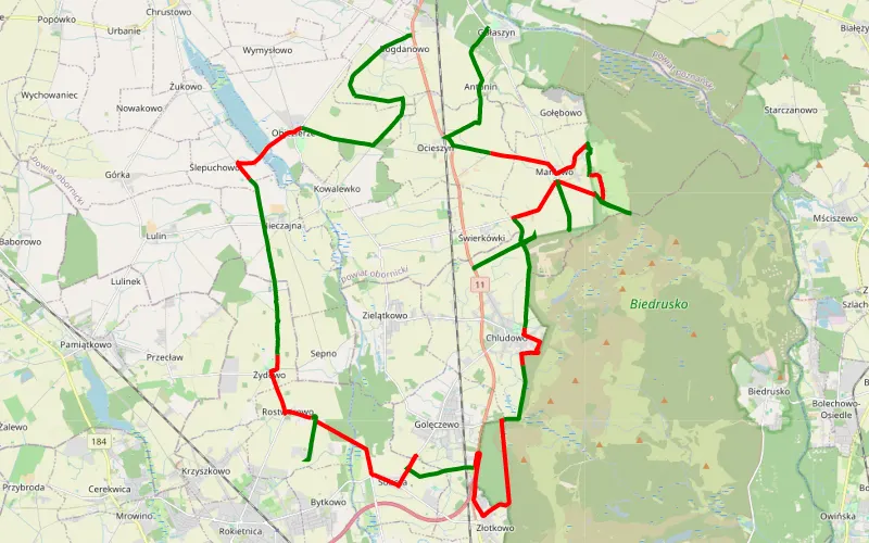
59% Offroad score
Moderate
113m Highest peak
Gołaszyn - Bogdanowo
Offroad score59%
No known restrictions84%
Distance55.45 km
Highest peak113m
Offroad32.62 km
1 year ago
View route
83% Offroad score
Difficult
73m Highest peak
Słonawy - Rogoźno
Offroad score83%
No known restrictions73%
Distance29.85 km
Highest peak73m
Offroad24.9 km
8 months ago
View route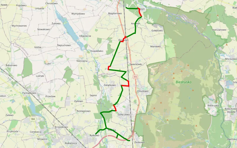
76% Offroad score
Difficult
95m Highest peak
Złotkowo - Gołaszyn
Offroad score76%
No known restrictions89%
Distance18.79 km
Highest peak95m
Offroad14.31 km
1 year ago
View route
71% Offroad score
Difficult
103m Highest peak
Trasa 3. Kozie-motocrossy Oborniki
Offroad score71%
No known restrictions73%
Distance22.92 km
Highest peak103m
Offroad16.18 km
11 months ago
View route
75% Offroad score
Difficult
104m Highest peak
Gołaszyn - Uchorowo
Offroad score75%
No known restrictions65%
Distance40.54 km
Highest peak104m
Offroad30.37 km
1 year ago
View route
65% Offroad score
Moderate
68m Highest peak
Przebędowo - Ryczywół
Offroad score65%
No known restrictions66%
Distance35.21 km
Highest peak68m
Offroad23.05 km
11 months ago
View route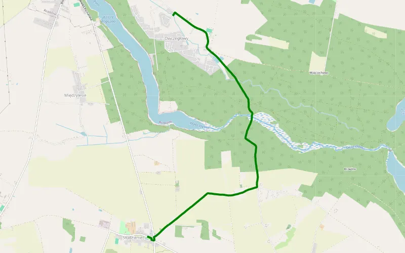
100% Offroad score
Difficult
92m Highest peak
Owcze Głowy - Studzieniec
Offroad score100%
No known restrictions94%
Distance4.77 km
Highest peak92m
Offroad4.77 km
6 months ago
View route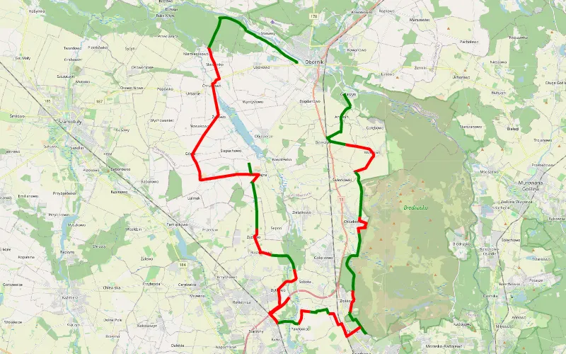
45% Offroad score
Moderate
110m Highest peak
Gołaszyn - Nowy Folwark
Offroad score45%
No known restrictions88%
Distance64.22 km
Highest peak110m
Offroad29.05 km
8 months ago
View route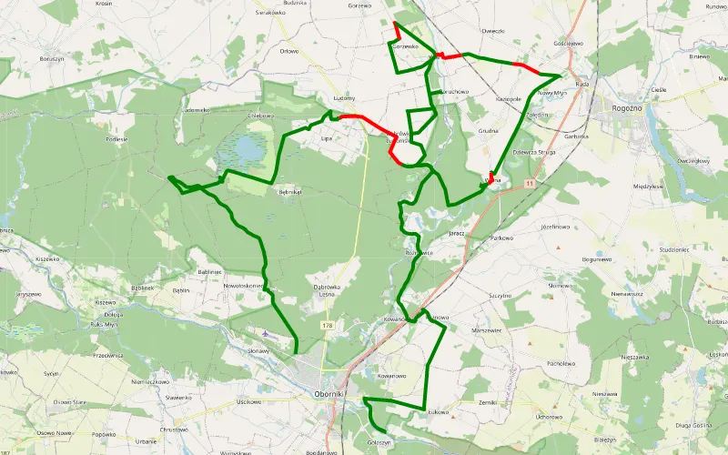
88% Offroad score
Difficult
82m Highest peak
Oborniki - Słonawy
Offroad score88%
No known restrictions67%
Distance66.73 km
Highest peak82m
Offroad59.01 km
8 months ago
View route
73% Offroad score
Difficult
112m Highest peak
Oborniki Czarnkow
Offroad score73%
No known restrictions74%
Distance65.88 km
Highest peak112m
Offroad47.97 km
8 months ago
View route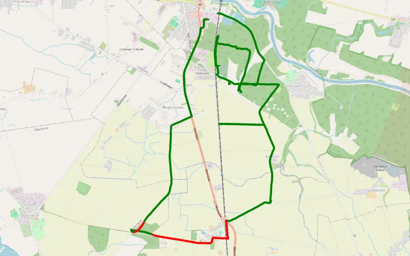
86% Offroad score
Difficult
90m Highest peak
oborniki iborniku
Offroad score86%
No known restrictions65%
Distance16.37 km
Highest peak90m
Offroad14.05 km
10 months ago
View route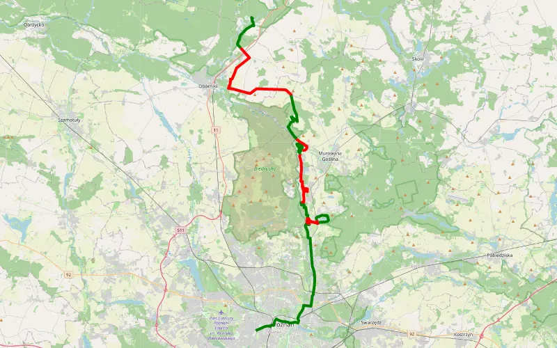
42% Offroad score
Moderate
109m Highest peak
Stary Grunwald - Jaracz
Offroad score42%
No known restrictions95%
Distance49.73 km
Highest peak109m
Offroad21.05 km
2 years ago
View route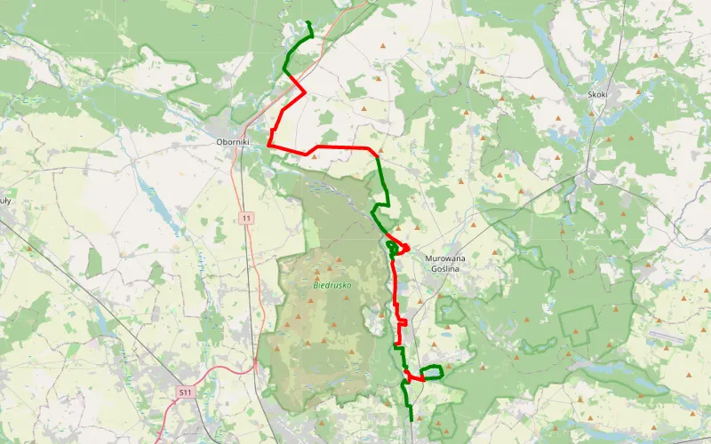
42% Offroad score
Moderate
110m Highest peak
Czerwonczyn - Jaracz
Offroad score42%
No known restrictions95%
Distance46.68 km
Highest peak110m
Offroad19.74 km
2 years ago
View route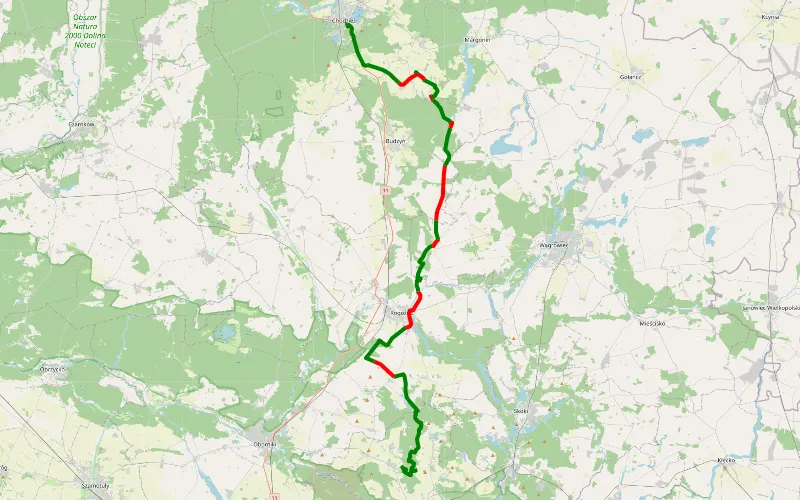
70% Offroad score
Difficult
105m Highest peak
Msciszewo- chodzież
Offroad score70%
No known restrictions75%
Distance53.99 km
Highest peak105m
Offroad37.72 km
1 year ago
View route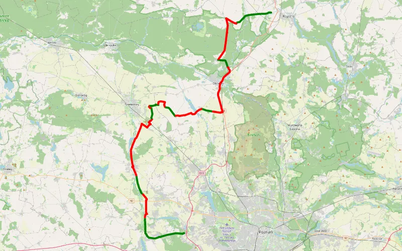
33% Offroad score
Easy
95m Highest peak
Na Spływ Nowy młyn z Poznania. Sporo czarnego
Offroad score33%
No known restrictions99%
Distance72.01 km
Highest peak95m
Offroad23.46 km
1 year ago
View route