



Routes
Międzychód County/ Greater Poland Voivodeship
Showing 24 routes

63% Offroad score
Moderate
109m Highest peak
Łężce - Rumianek
Offroad score63%
No known restrictions86%
Distance41.95 km
Highest peak109m
Offroad26.25 km
1 year ago
View route
65% Offroad score
Moderate
109m Highest peak
Rumianek - Chrzypsko Wielkie
Offroad score65%
No known restrictions85%
Distance41.22 km
Highest peak109m
Offroad26.59 km
6 months ago
View route
79% Offroad score
Difficult
100m Highest peak
Niepruszewo - Łężeczki
Offroad score79%
No known restrictions86%
Distance64.44 km
Highest peak100m
Offroad50.88 km
5 months ago
View route
74% Offroad score
Difficult
121m Highest peak
Lwówek - Łężeczki
Offroad score74%
No known restrictions72%
Distance25.93 km
Highest peak121m
Offroad19.17 km
5 months ago
View route
64% Offroad score
Moderate
100m Highest peak
Łężce - Gaj Wielki
Offroad score64%
No known restrictions85%
Distance42.32 km
Highest peak100m
Offroad27.05 km
1 year ago
View route
95% Offroad score
Difficult
93m Highest peak
Łowyń - Pniewy
Offroad score95%
No known restrictions70%
Distance18.9 km
Highest peak93m
Offroad17.97 km
6 months ago
View route
55% Offroad score
Moderate
99m Highest peak
Wronki - Sieraków
Offroad score55%
No known restrictions92%
Distance27.83 km
Highest peak99m
Offroad15.25 km
2 years ago
View route
59% Offroad score
Moderate
104m Highest peak
Łężce - Pniewy
Offroad score59%
No known restrictions86%
Distance36.91 km
Highest peak104m
Offroad21.83 km
1 year ago
View route
40% Offroad score
Moderate
79m Highest peak
Wronki - Mialy
Offroad score40%
No known restrictions95%
Distance41.61 km
Highest peak79m
Offroad16.54 km
2 years ago
View route
75% Offroad score
Difficult
112m Highest peak
Zamorze - Młodasko
Offroad score75%
No known restrictions71%
Distance20.19 km
Highest peak112m
Offroad15.15 km
5 months ago
View route
46% Offroad score
Moderate
117m Highest peak
Wiry - Łężce
Offroad score46%
No known restrictions94%
Distance77.67 km
Highest peak117m
Offroad35.97 km
1 year ago
View route
79% Offroad score
Difficult
116m Highest peak
Muchocin - Dopiewo by Miki
Offroad score79%
No known restrictions75%
Distance82.22 km
Highest peak116m
Offroad64.73 km
11 months ago
View route
43% Offroad score
Moderate
97m Highest peak
Wronki
Offroad score43%
No known restrictions97%
Distance31.05 km
Highest peak97m
Offroad13.29 km
3 years ago
View route
52% Offroad score
Moderate
106m Highest peak
Wronki
Offroad score52%
No known restrictions88%
Distance45.82 km
Highest peak106m
Offroad23.73 km
3 years ago
View route
67% Offroad score
Moderate
64m Highest peak
Wronki
Offroad score67%
No known restrictions76%
Distance42.84 km
Highest peak64m
Offroad28.61 km
3 years ago
View route
67% Offroad score
Moderate
65m Highest peak
Chrzypsko Małe - Kłodzisko
Offroad score67%
No known restrictions70%
Distance20.94 km
Highest peak65m
Offroad13.98 km
1 year ago
View route
48% Offroad score
Moderate
107m Highest peak
Komorniki - Łężeczki
Offroad score48%
No known restrictions93%
Distance63.66 km
Highest peak107m
Offroad30.65 km
2 years ago
View route
64% Offroad score
Moderate
134m Highest peak
Tulipany
Offroad score64%
No known restrictions85%
Distance90.36 km
Highest peak134m
Offroad57.86 km
1 year ago
View route
100% Offroad score
Difficult
66m Highest peak
Kaczlin - Tuchola
Offroad score100%
No known restrictions47%
Distance6.15 km
Highest peak66m
Offroad6.15 km
7 months ago
View route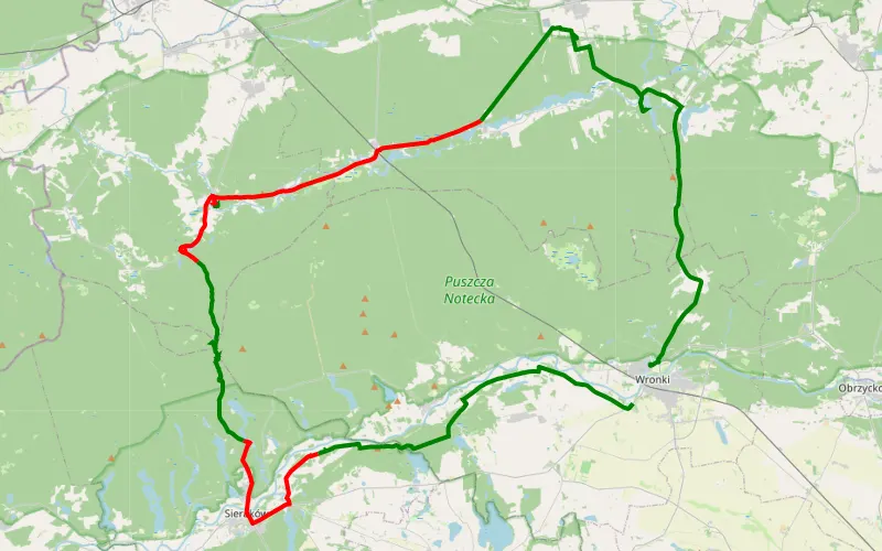
50% Offroad score
Moderate
60m Highest peak
Wronki
Offroad score50%
No known restrictions81%
Distance58.58 km
Highest peak60m
Offroad29.03 km
3 years ago
View route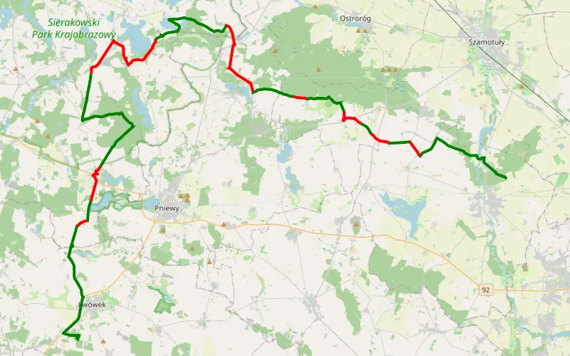
61% Offroad score
Moderate
139m Highest peak
Chlewiska - Gmina Lwówek
Offroad score61%
No known restrictions84%
Distance59.17 km
Highest peak139m
Offroad35.95 km
4 years ago
View route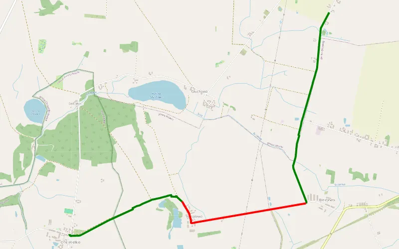
70% Offroad score
Difficult
88m Highest peak
Ćmachowo - Chrzypsko Wielkie
Offroad score70%
No known restrictions87%
Distance5.41 km
Highest peak88m
Offroad3.79 km
3 years ago
View route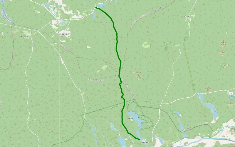
100% Offroad score
Difficult
74m Highest peak
Bucharzewo - Borzysko
Offroad score100%
No known restrictions90%
Distance9.98 km
Highest peak74m
Offroad9.98 km
5 years ago
View route
82% Offroad score
Difficult
82m Highest peak
Okolice Siedlisko Zaśpiew i Warta
Offroad score82%
No known restrictions32%
Distance48.34 km
Highest peak82m
Offroad39.42 km
4 years ago
View route