



Routes
Chodzież County/ Greater Poland Voivodeship
Showing 18 routes
65% Offroad score
Moderate
98m Highest peak
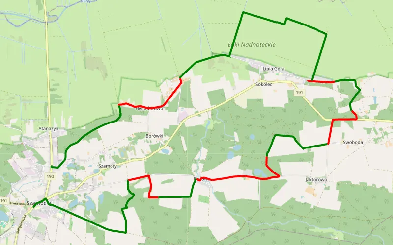
Szamocin - Szamocin :)
Offroad score65%
No known restrictions75%
Distance26.43 km
Highest peak98m
Offroad17.21 km
8 months ago
View route
50% Offroad score
Moderate
107m Highest peak
Chodzież - Biała
Offroad score50%
No known restrictions92%
Distance37.45 km
Highest peak107m
Offroad18.69 km
3 years ago
View route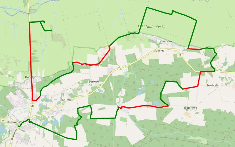
61% Offroad score
Moderate
96m Highest peak
Heliodorowo - Szamocin
Offroad score61%
No known restrictions82%
Distance28.77 km
Highest peak96m
Offroad17.51 km
1 year ago
View route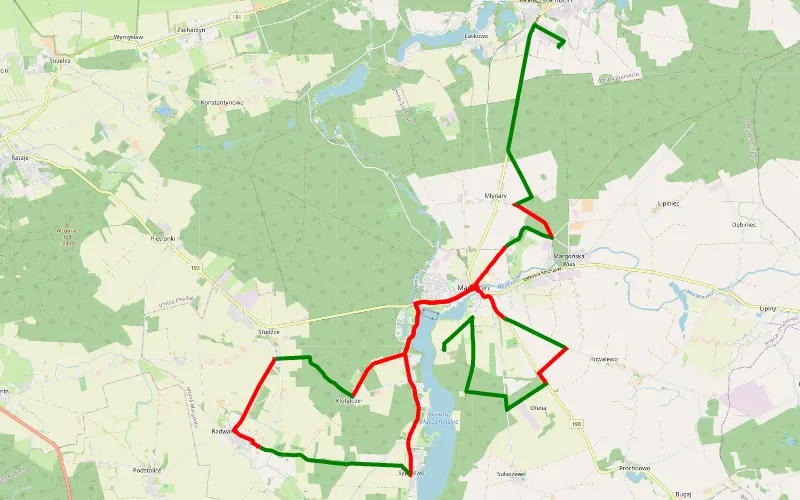
47% Offroad score
Moderate
101m Highest peak
Margonin - Szamocin
Offroad score47%
No known restrictions86%
Distance30.85 km
Highest peak101m
Offroad14.58 km
1 year ago
View route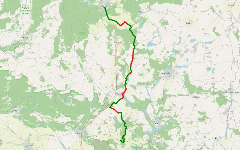
70% Offroad score
Difficult
105m Highest peak
Msciszewo- chodzież
Offroad score70%
No known restrictions75%
Distance53.99 km
Highest peak105m
Offroad37.72 km
1 year ago
View route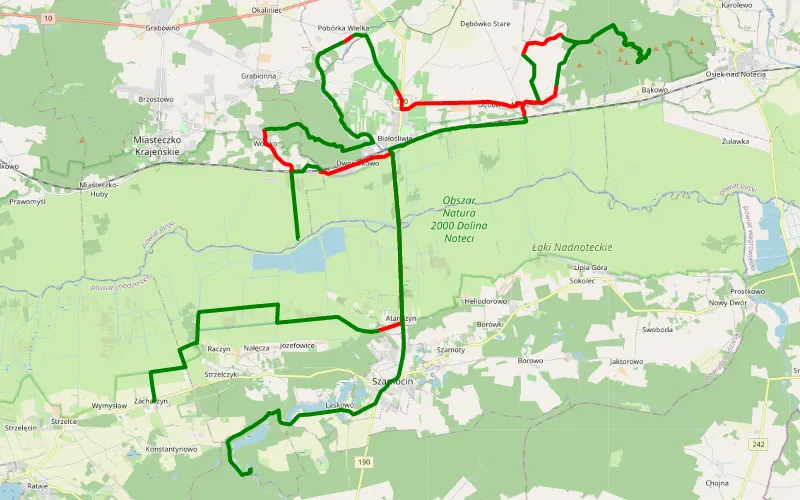
67% Offroad score
Moderate
192m Highest peak
Dębowa Góra bez stawów
Offroad score67%
No known restrictions73%
Distance58.96 km
Highest peak192m
Offroad39.25 km
2 years ago
View route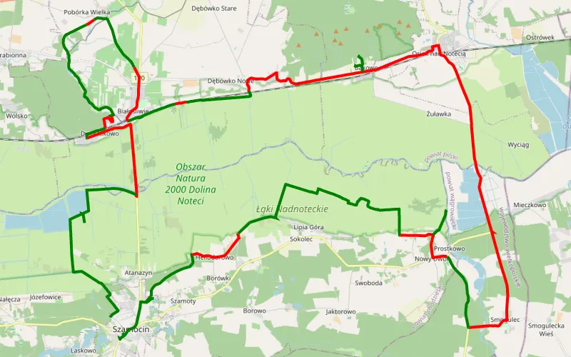
54% Offroad score
Moderate
108m Highest peak
Szamocin - Szamocin Wieś
Offroad score54%
No known restrictions89%
Distance71.89 km
Highest peak108m
Offroad38.91 km
1 year ago
View route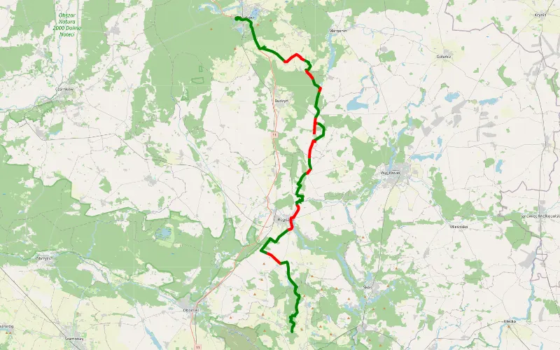
67% Offroad score
Moderate
122m Highest peak
59.27 km Offroad Trail
Offroad score67%
No known restrictions75%
Distance59.27 km
Highest peak122m
Offroad39.74 km
1 year ago
View route
93% Offroad score
Difficult
107m Highest peak
Popielno - Sypniewo by Miki
Offroad score93%
No known restrictions19%
Distance17.48 km
Highest peak107m
Offroad16.25 km
1 year ago
View route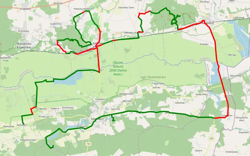
61% Offroad score
Moderate
194m Highest peak
Zacharzyn - Strzelczyki
Offroad score61%
No known restrictions76%
Distance73.64 km
Highest peak194m
Offroad44.84 km
3 years ago
View route
64% Offroad score
Moderate
134m Highest peak
Tulipany
Offroad score64%
No known restrictions85%
Distance90.36 km
Highest peak134m
Offroad57.86 km
1 year ago
View route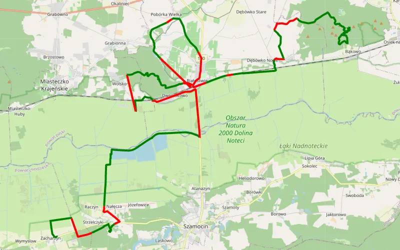
65% Offroad score
Moderate
200m Highest peak
Zacharzyn - Białośliwie - Dębowa Góra
Offroad score65%
No known restrictions75%
Distance55.84 km
Highest peak200m
Offroad36.56 km
4 years ago
View route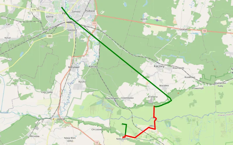
35% Offroad score
Easy
87m Highest peak
Dario818
Offroad score35%
No known restrictions94%
Distance10.92 km
Highest peak87m
Offroad3.84 km
2 years ago
View route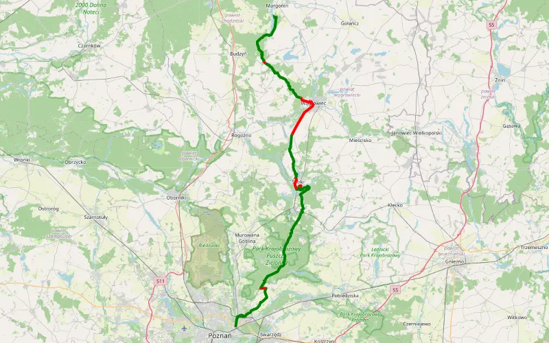
80% Offroad score
Difficult
128m Highest peak
Jezioro koło Margonina
Offroad score80%
No known restrictions74%
Distance73.68 km
Highest peak128m
Offroad58.7 km
1 year ago
View route
75% Offroad score
Difficult
115m Highest peak
Gościejewo - Borne Sulinowo by Miki
Offroad score75%
No known restrictions41%
Distance118.66 km
Highest peak115m
Offroad88.6 km
3 months ago
View route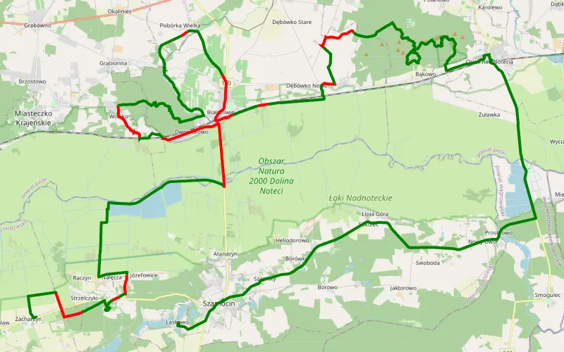
73% Offroad score
Difficult
188m Highest peak
Zacharzyn - Laskowo
Offroad score73%
No known restrictions69%
Distance59.5 km
Highest peak188m
Offroad43.68 km
4 years ago
View route
39% Offroad score
Easy
158m Highest peak
Jasin - Wałcz by Miki
Offroad score39%
No known restrictions88%
Distance181.41 km
Highest peak158m
Offroad69.94 km
2 years ago
View route
28% Offroad score
Easy
161m Highest peak
Siekierki Małe - Szczecinek by Miki
Offroad score28%
No known restrictions70%
Distance204.69 km
Highest peak161m
Offroad56.62 km
2 years ago
View route