



Routes
Kętrzyn County/ Warmian-Masurian Voivodeship
Showing 24 routes

86% Offroad score
Difficult
156m Highest peak
Sztynort - Przystań
Offroad score86%
No known restrictions93%
Distance45.9 km
Highest peak156m
Offroad39.53 km
4 months ago
View route
83% Offroad score
Difficult
160m Highest peak
Trasa 3 Pniewo - Ryn
Offroad score83%
No known restrictions94%
Distance24.07 km
Highest peak160m
Offroad20.02 km
5 months ago
View route
82% Offroad score
Difficult
142m Highest peak
TORF trasa nr 3
Offroad score82%
No known restrictions85%
Distance32.29 km
Highest peak142m
Offroad26.49 km
4 months ago
View route
61% Offroad score
Moderate
192m Highest peak
Mrągowo - Salpik
Offroad score61%
No known restrictions98%
Distance28.7 km
Highest peak192m
Offroad17.57 km
1 year ago
View route
77% Offroad score
Difficult
195m Highest peak
Sądry - Gierłoż
Offroad score77%
No known restrictions97%
Distance27.82 km
Highest peak195m
Offroad21.54 km
1 year ago
View route
80% Offroad score
Difficult
163m Highest peak
Trasa 2 Przystań - Pniewo
Offroad score80%
No known restrictions87%
Distance56.23 km
Highest peak163m
Offroad45.19 km
5 months ago
View route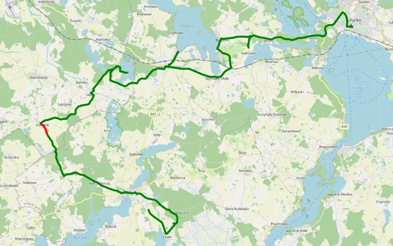
95% Offroad score
Difficult
169m Highest peak
Giżycko - Ryn
Offroad score95%
No known restrictions92%
Distance18.87 km
Highest peak169m
Offroad17.99 km
2 years ago
View route
47% Offroad score
Moderate
171m Highest peak
Masury-Poland Backcountry Wierzba - Gierłoż
Offroad score47%
No known restrictions91%
Distance52.03 km
Highest peak171m
Offroad24.45 km
1 year ago
View route
63% Offroad score
Moderate
162m Highest peak
Ryn- Gierłoż- Ryn 'Po krzaczkach'
Offroad score63%
No known restrictions79%
Distance32.75 km
Highest peak162m
Offroad20.75 km
1 year ago
View route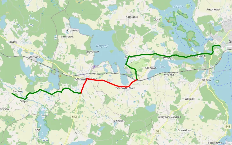
59% Offroad score
Moderate
150m Highest peak
Giżycko - Salpik
Offroad score59%
No known restrictions99%
Distance14.08 km
Highest peak150m
Offroad8.25 km
1 year ago
View route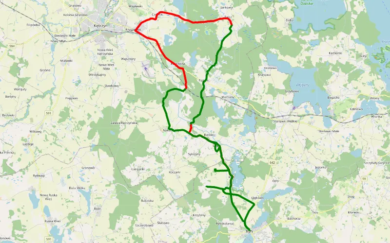
51% Offroad score
Moderate
164m Highest peak
Ryn
Offroad score51%
No known restrictions87%
Distance42.02 km
Highest peak164m
Offroad21.27 km
1 year ago
View route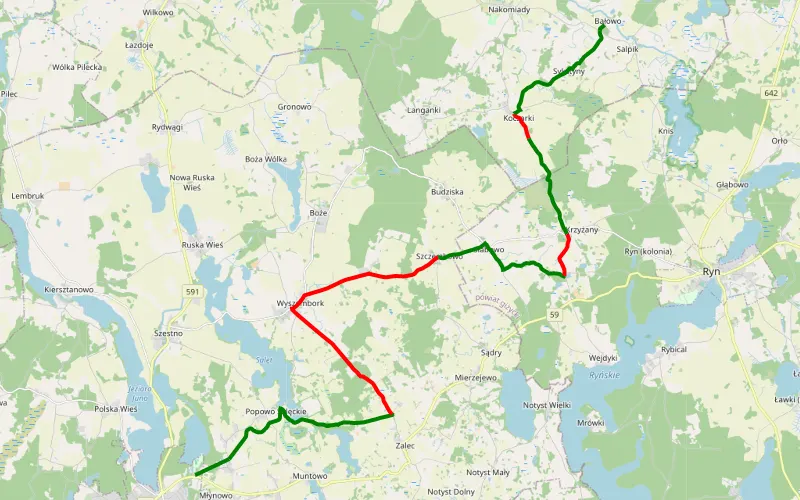
61% Offroad score
Moderate
195m Highest peak
Mrągowo - Salpik
Offroad score61%
No known restrictions98%
Distance28.59 km
Highest peak195m
Offroad17.46 km
3 years ago
View route
65% Offroad score
Moderate
100m Highest peak
Guja - Węgorzewo
Offroad score65%
No known restrictions91%
Distance39.26 km
Highest peak100m
Offroad25.46 km
3 years ago
View route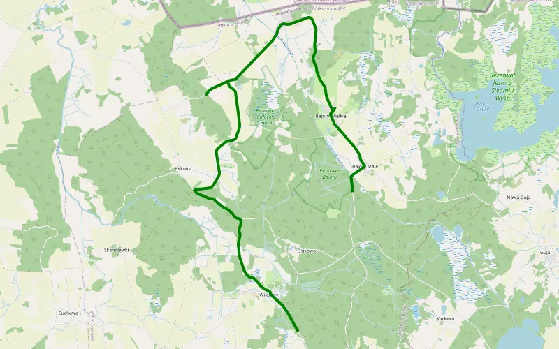
100% Offroad score
Difficult
73m Highest peak
Bajory Wielkie - Wilczyny
Offroad score100%
No known restrictions87%
Distance5.28 km
Highest peak73m
Offroad5.28 km
4 months ago
View route
60% Offroad score
Moderate
168m Highest peak
Na szlaku na mazurach
Offroad score60%
No known restrictions91%
Distance32.53 km
Highest peak168m
Offroad19.37 km
2 years ago
View route
32% Offroad score
Easy
146m Highest peak
Maz
Offroad score32%
No known restrictions99%
Distance37.28 km
Highest peak146m
Offroad11.91 km
1 year ago
View route
81% Offroad score
Difficult
130m Highest peak
Kosakowo - Trygort
Offroad score81%
No known restrictions89%
Distance29.18 km
Highest peak130m
Offroad23.58 km
3 years ago
View route
84% Offroad score
Difficult
135m Highest peak
Sztynort - Gierłoż
Offroad score84%
No known restrictions88%
Distance25.81 km
Highest peak135m
Offroad21.8 km
4 years ago
View route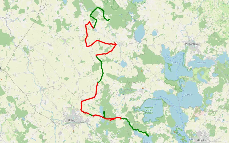
39% Offroad score
Easy
149m Highest peak
Mazury z Wojtkiem i Weroniką.
Offroad score39%
No known restrictions77%
Distance61.49 km
Highest peak149m
Offroad24.26 km
2 months ago
View route
75% Offroad score
Difficult
155m Highest peak
Harsz - Surwile
Offroad score75%
No known restrictions78%
Distance64.12 km
Highest peak155m
Offroad48.16 km
1 year ago
View route
73% Offroad score
Difficult
167m Highest peak
Do Rybaczówki
Offroad score73%
No known restrictions79%
Distance31.18 km
Highest peak167m
Offroad22.63 km
2 years ago
View route
43% Offroad score
Moderate
281m Highest peak
Bajory Małe
Offroad score43%
No known restrictions95%
Distance249.51 km
Highest peak281m
Offroad106.15 km
2 months ago
View route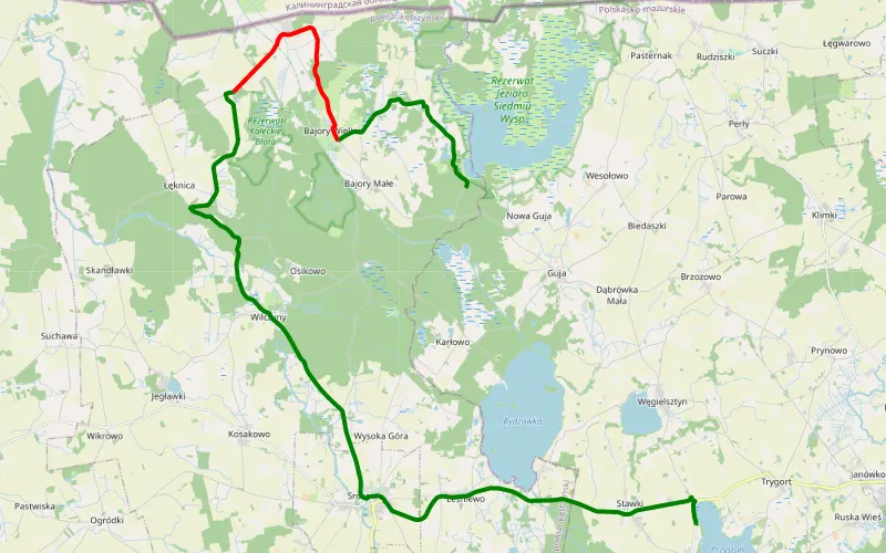
62% Offroad score
Moderate
96m Highest peak
Przystań - Bajory Małe
Offroad score62%
No known restrictions89%
Distance14.98 km
Highest peak96m
Offroad9.23 km
1 year ago
View route
80% Offroad score
Difficult
150m Highest peak
Bogaczewo - Piaski
Offroad score80%
No known restrictions84%
Distance56.39 km
Highest peak150m
Offroad45.16 km
3 years ago
View route