



Routes
Pińczów County/ Holy Cross Voivodeship
Showing 24 routes // Page 3
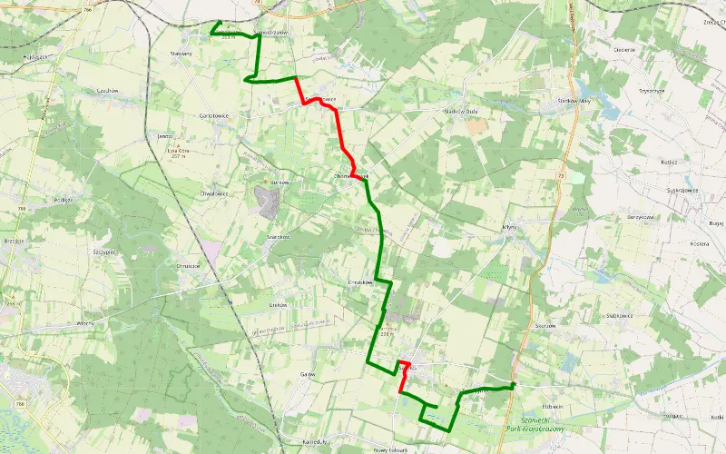
76% Offroad score
Difficult
280m Highest peak
Żydów - Zwierzyniec
Offroad score76%
No known restrictions99%
Distance20.4 km
Highest peak280m
Offroad15.53 km
5 years ago
View route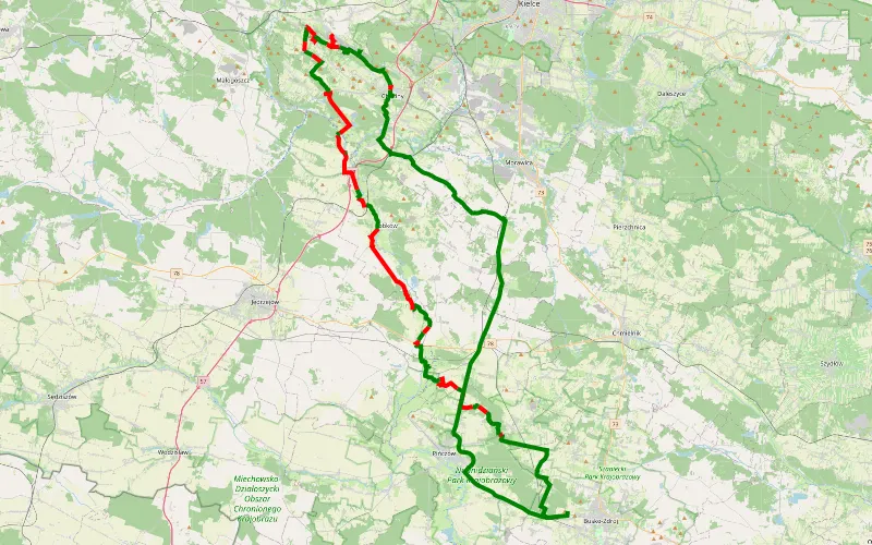
49% Offroad score
Moderate
324m Highest peak
Wełecz przez Chęciny
Offroad score49%
No known restrictions97%
Distance72.62 km
Highest peak324m
Offroad35.77 km
3 years ago
View route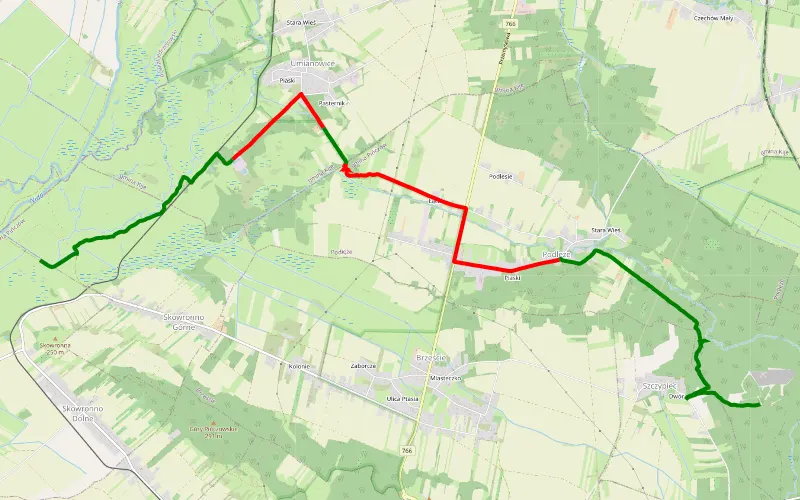
59% Offroad score
Moderate
227m Highest peak
Szczypiec - Skowronno Górne
Offroad score59%
No known restrictions95%
Distance11.53 km
Highest peak227m
Offroad6.84 km
4 years ago
View route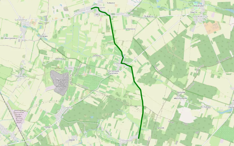
100% Offroad score
Difficult
266m Highest peak
Sędziejowice - Chrapków
Offroad score100%
No known restrictions99%
Distance2.78 km
Highest peak266m
Offroad2.78 km
11 months ago
View route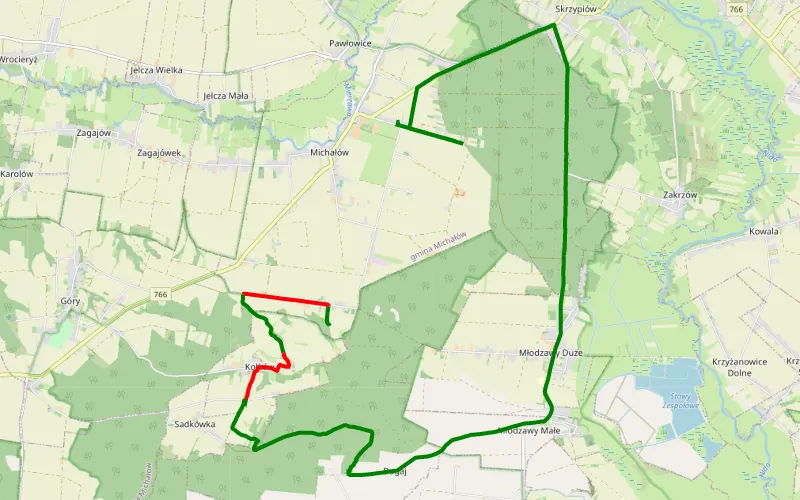
68% Offroad score
Moderate
280m Highest peak
Próba turystyczna
Offroad score68%
No known restrictions64%
Distance8.34 km
Highest peak280m
Offroad5.66 km
3 years ago
View route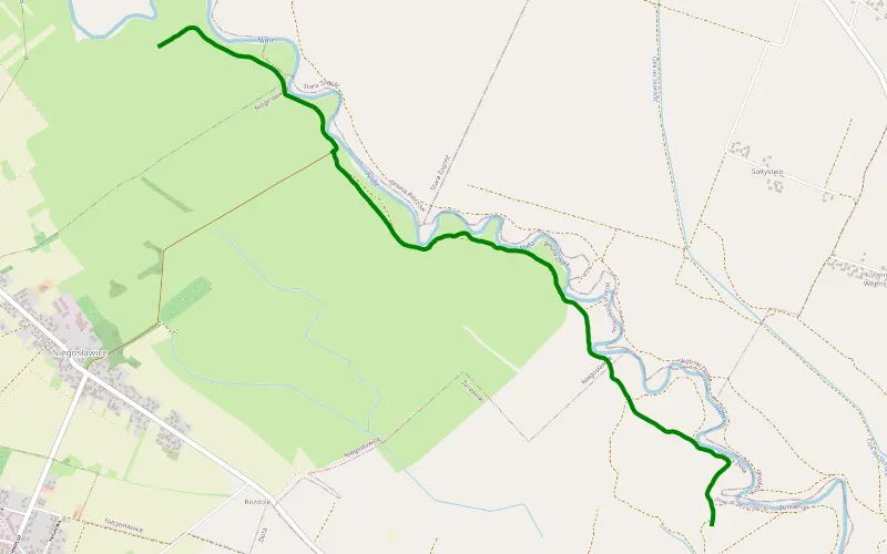
100% Offroad score
Difficult
178m Highest peak
Stara Zagość - Żurawniki
Offroad score100%
No known restrictions99%
Distance4.26 km
Highest peak178m
Offroad4.26 km
4 years ago
View route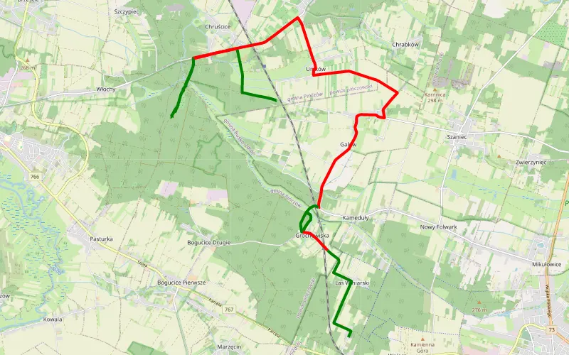
41% Offroad score
Moderate
257m Highest peak
Uników - Wełecz Oleszki
Offroad score41%
No known restrictions87%
Distance20.31 km
Highest peak257m
Offroad8.29 km
5 years ago
View route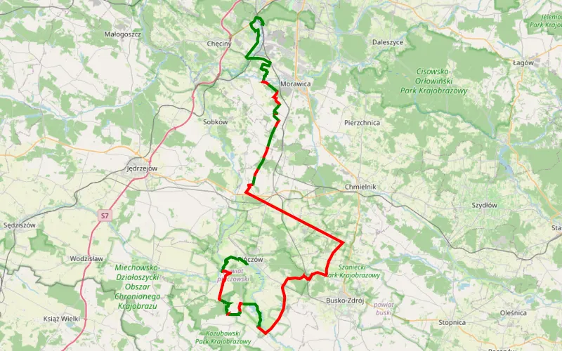
37% Offroad score
Easy
320m Highest peak
Skrzypiow - Sitkówka (osiedle)
Offroad score37%
No known restrictions96%
Distance89.43 km
Highest peak320m
Offroad32.8 km
3 years ago
View route
38% Offroad score
Easy
366m Highest peak
Wycieczka piesza
Offroad score38%
No known restrictions97%
Distance243.33 km
Highest peak366m
Offroad92.19 km
2 years ago
View route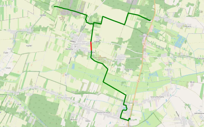
97% Offroad score
Difficult
296m Highest peak
Mikułowice - Chrapków
Offroad score97%
No known restrictions97%
Distance11.92 km
Highest peak296m
Offroad11.57 km
5 years ago
View route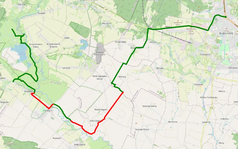
66% Offroad score
Moderate
242m Highest peak
Busko-Zdrój - Młodzawy
Offroad score66%
No known restrictions99%
Distance22.13 km
Highest peak242m
Offroad14.7 km
5 years ago
View route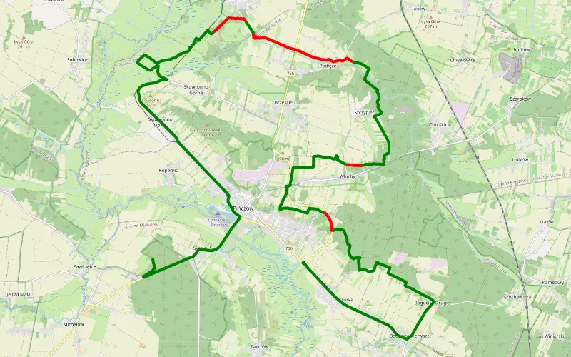
76% Offroad score
Difficult
268m Highest peak
Pasturka - Skrzypiow
Offroad score76%
No known restrictions95%
Distance23.7 km
Highest peak268m
Offroad18.13 km
5 years ago
View route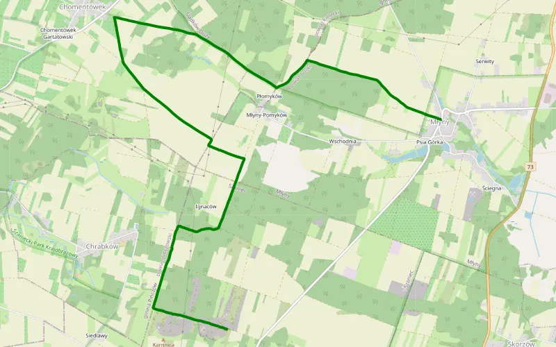
100% Offroad score
Difficult
303m Highest peak
Młyny - Szaniec
Offroad score100%
No known restrictions77%
Distance9.68 km
Highest peak303m
Offroad9.68 km
5 years ago
View route
47% Offroad score
Moderate
389m Highest peak
Brkldiid
Offroad score47%
No known restrictions98%
Distance128.82 km
Highest peak389m
Offroad60.52 km
3 years ago
View route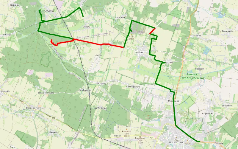
61% Offroad score
Moderate
295m Highest peak
Bronina - Uników
Offroad score61%
No known restrictions96%
Distance20.2 km
Highest peak295m
Offroad12.35 km
5 years ago
View route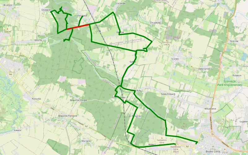
87% Offroad score
Difficult
256m Highest peak
Busko-Zdrój - Wełecz
Offroad score87%
No known restrictions91%
Distance10.59 km
Highest peak256m
Offroad9.22 km
5 years ago
View route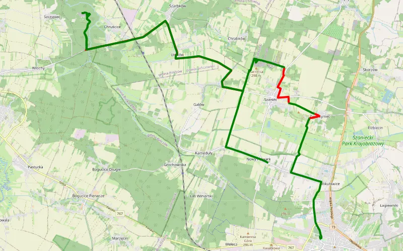
48% Offroad score
Moderate
288m Highest peak
Busko-Zdrój - Wymysłów
Offroad score48%
No known restrictions98%
Distance20.17 km
Highest peak288m
Offroad9.66 km
5 years ago
View route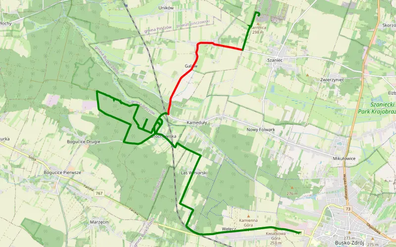
71% Offroad score
Difficult
287m Highest peak
Chrapków - Wełecz
Offroad score71%
No known restrictions47%
Distance13.32 km
Highest peak287m
Offroad9.44 km
4 years ago
View route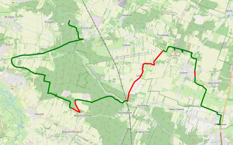
74% Offroad score
Difficult
295m Highest peak
Mikułowice - Chruścice
Offroad score74%
No known restrictions82%
Distance22.32 km
Highest peak295m
Offroad16.55 km
5 years ago
View route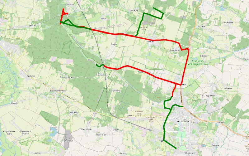
29% Offroad score
Easy
278m Highest peak
Szaniec i okolice
Offroad score29%
No known restrictions98%
Distance40.3 km
Highest peak278m
Offroad11.59 km
5 years ago
View route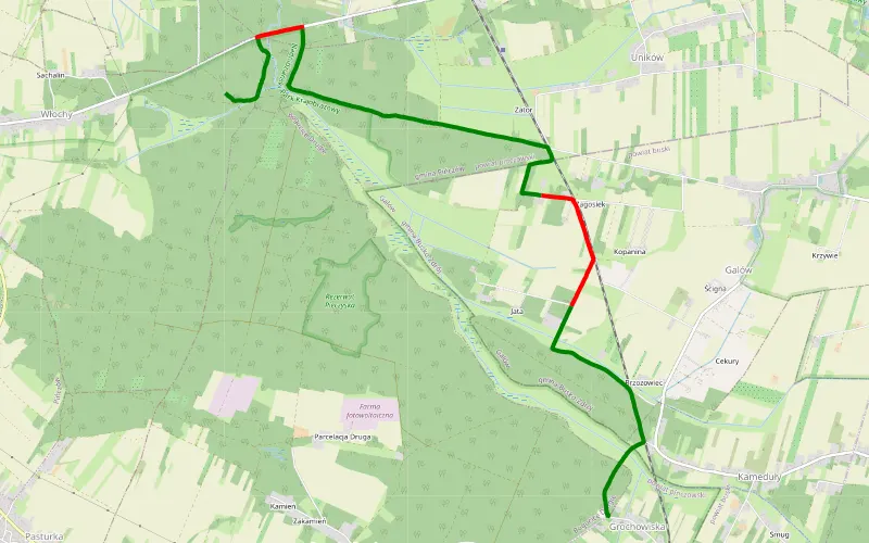
80% Offroad score
Difficult
268m Highest peak
Kq
Offroad score80%
No known restrictions86%
Distance8.45 km
Highest peak268m
Offroad6.78 km
5 years ago
View route
82% Offroad score
Difficult
293m Highest peak
Motkowice - Szaniec
Offroad score82%
No known restrictions91%
Distance55.58 km
Highest peak293m
Offroad45.75 km
1 year ago
View route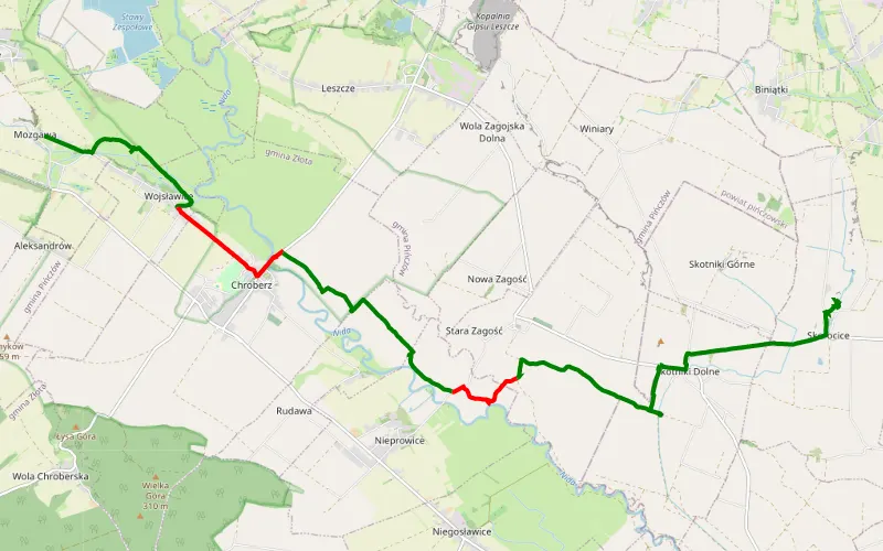
73% Offroad score
Difficult
203m Highest peak
Mozgawa - Skorocice
Offroad score73%
No known restrictions99%
Distance12.54 km
Highest peak203m
Offroad9.12 km
7 years ago
View route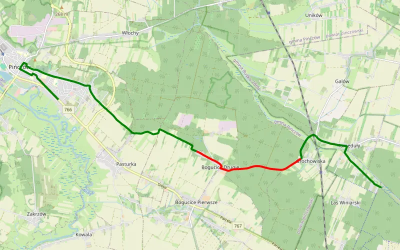
57% Offroad score
Moderate
264m Highest peak
Las Winiarski - Pińczów
Offroad score57%
No known restrictions92%
Distance7.4 km
Highest peak264m
Offroad4.22 km
5 years ago
View route