



Routes
Holy Cross Voivodeship/ Poland
Showing 24 routes // Page 21

67% Offroad score
Moderate
288m Highest peak
Szaniec - Sadek
Offroad score67%
No known restrictions90%
Distance60.48 km
Highest peak288m
Offroad40.75 km
2 years ago
View route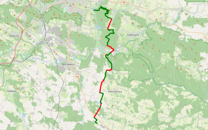
70% Offroad score
Difficult
379m Highest peak
Celiny - Mojcza
Offroad score70%
No known restrictions53%
Distance43.18 km
Highest peak379m
Offroad30.3 km
2 years ago
View route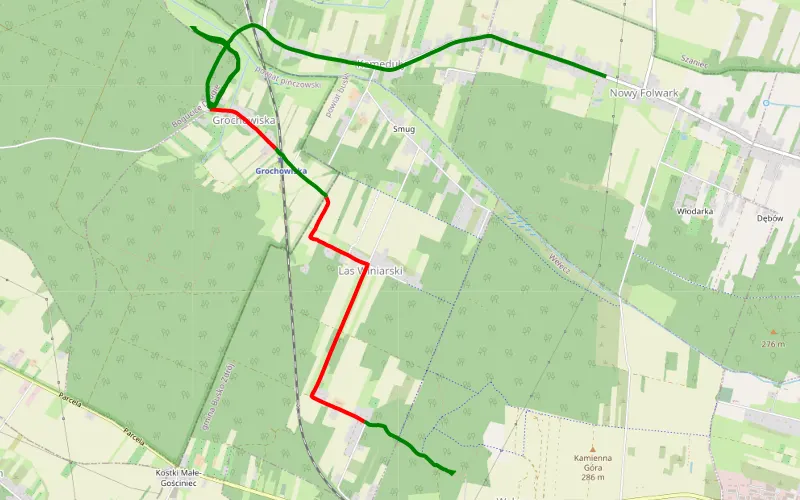
58% Offroad score
Moderate
285m Highest peak
Wełecz Oleszki - Kameduły
Offroad score58%
No known restrictions74%
Distance6.93 km
Highest peak285m
Offroad3.99 km
5 years ago
View route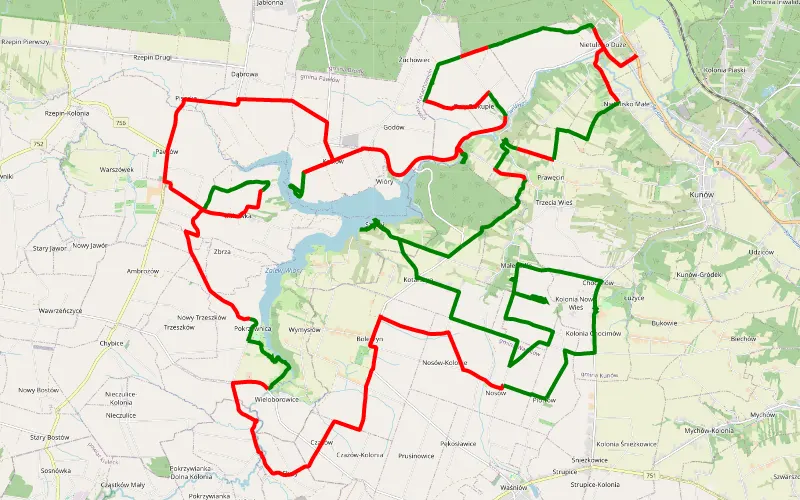
33% Offroad score
Easy
351m Highest peak
Zagaje Boleszyńskie
Offroad score33%
No known restrictions98%
Distance54.83 km
Highest peak351m
Offroad18.28 km
9 years ago
View route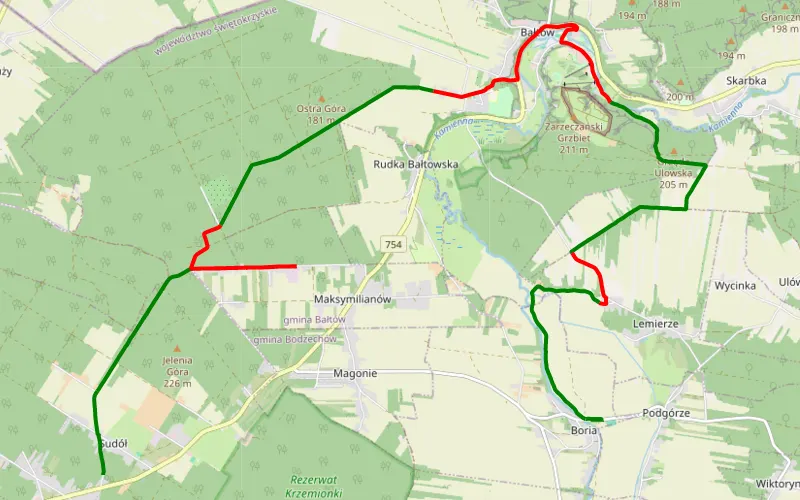
60% Offroad score
Moderate
212m Highest peak
Jelenia Góra - Boria
Offroad score60%
No known restrictions71%
Distance19.92 km
Highest peak212m
Offroad11.93 km
1 year ago
View route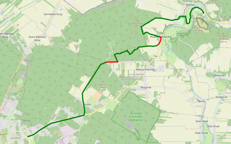
87% Offroad score
Difficult
222m Highest peak
Bałtów - Koszary
Offroad score87%
No known restrictions54%
Distance8.87 km
Highest peak222m
Offroad7.71 km
2 years ago
View route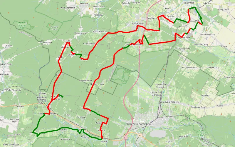
26% Offroad score
Easy
382m Highest peak
track bliżyn 2020
Offroad score26%
No known restrictions94%
Distance76.92 km
Highest peak382m
Offroad19.65 km
5 years ago
View route
75% Offroad score
Difficult
356m Highest peak
Bukówka - Podhale
Offroad score75%
No known restrictions44%
Distance24.07 km
Highest peak356m
Offroad18 km
2 years ago
View route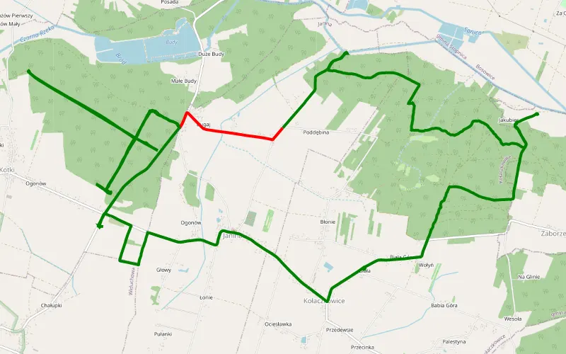
91% Offroad score
Difficult
252m Highest peak
Kołaczkowice
Offroad score91%
No known restrictions49%
Distance16.75 km
Highest peak252m
Offroad15.26 km
5 years ago
View route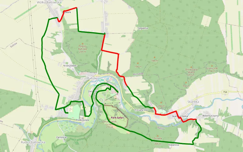
69% Offroad score
Moderate
218m Highest peak
13.27 km Offroad Trail
Offroad score69%
No known restrictions84%
Distance13.27 km
Highest peak218m
Offroad9.16 km
6 years ago
View route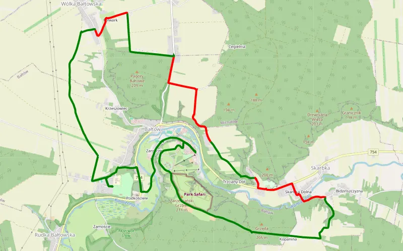
69% Offroad score
Moderate
218m Highest peak
13.27 km Offroad Trail
Offroad score69%
No known restrictions84%
Distance13.27 km
Highest peak218m
Offroad9.16 km
6 years ago
View route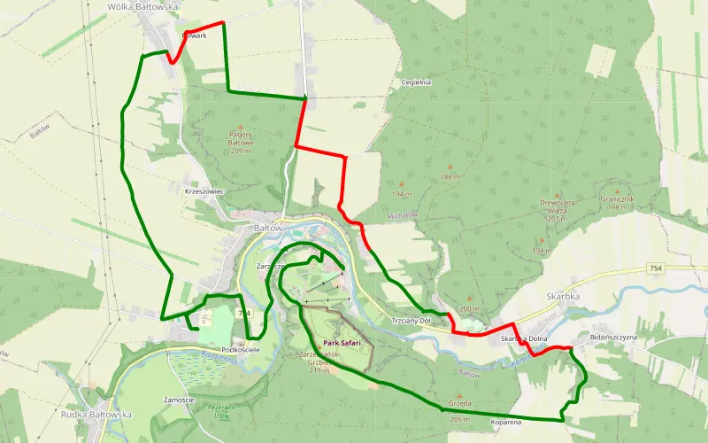
69% Offroad score
Moderate
218m Highest peak
13.27 km Offroad Trail
Offroad score69%
No known restrictions84%
Distance13.27 km
Highest peak218m
Offroad9.16 km
6 years ago
View route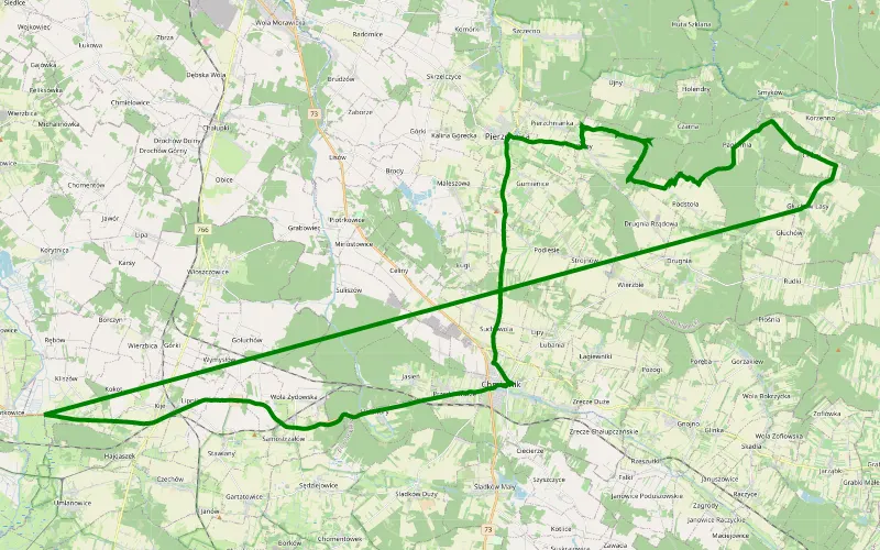
100% Offroad score
Difficult
354m Highest peak
Osiny
Offroad score100%
No known restrictions60%
Distance10.93 km
Highest peak354m
Offroad10.93 km
7 years ago
View route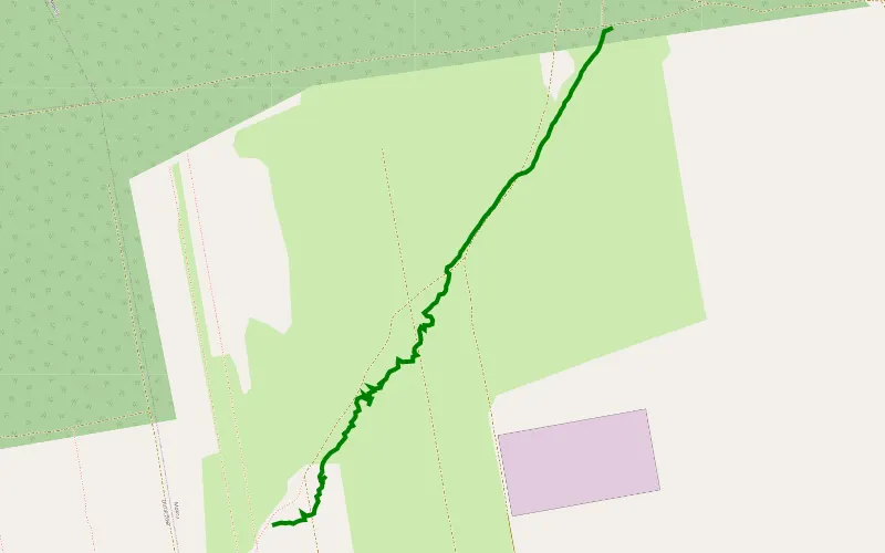
100% Offroad score
Difficult
334m Highest peak
Próba 4 Proto
Offroad score100%
No known restrictions99%
Distance1.04 km
Highest peak334m
Offroad1.04 km
5 months ago
View route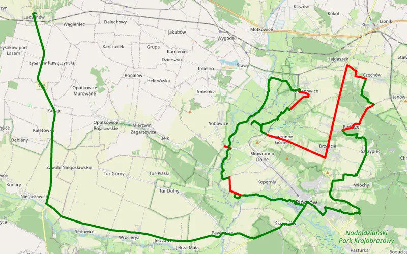
63% Offroad score
Moderate
265m Highest peak
Pińczów - Ludwinów
Offroad score63%
No known restrictions95%
Distance45.42 km
Highest peak265m
Offroad28.62 km
3 years ago
View route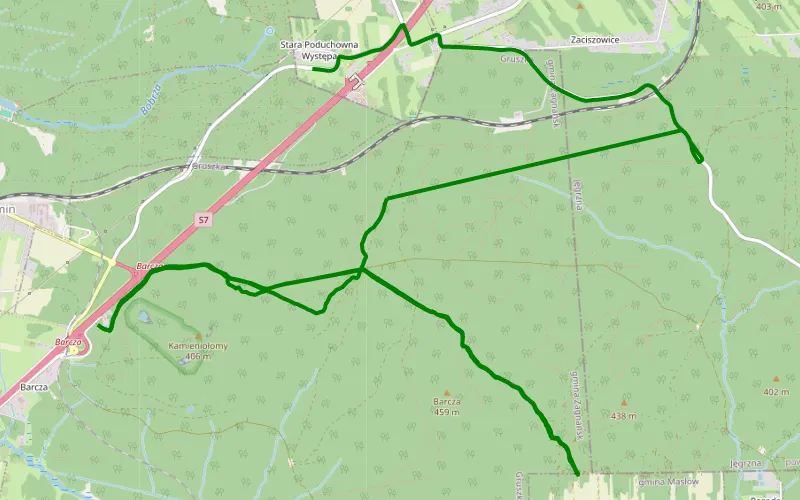
100% Offroad score
Difficult
471m Highest peak
Trasa 1
Offroad score100%
No known restrictions0%
Distance11.16 km
Highest peak471m
Offroad11.16 km
5 years ago
View route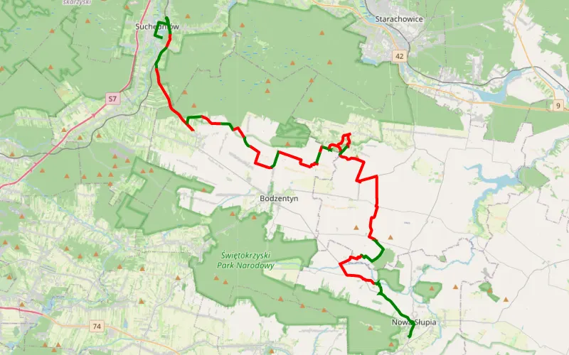
28% Offroad score
Easy
441m Highest peak
Wierzbka - Nowa Słupia
Offroad score28%
No known restrictions99%
Distance49.84 km
Highest peak441m
Offroad14.1 km
9 years ago
View route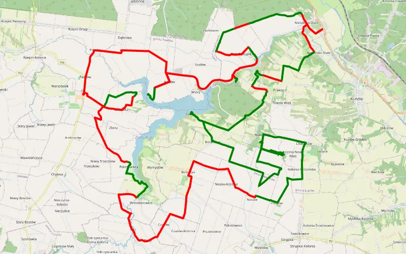
32% Offroad score
Easy
336m Highest peak
Zagaje Boleszyńskie
Offroad score32%
No known restrictions97%
Distance54.4 km
Highest peak336m
Offroad17.23 km
9 years ago
View route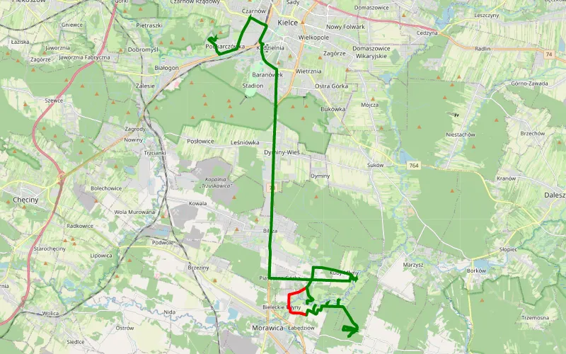
86% Offroad score
Difficult
266m Highest peak
Wężową góra
Offroad score86%
No known restrictions58%
Distance16.99 km
Highest peak266m
Offroad14.53 km
6 years ago
View route
62% Offroad score
Moderate
315m Highest peak
Ostra Górka - Pod Telegrafem
Offroad score62%
No known restrictions68%
Distance44.93 km
Highest peak315m
Offroad27.91 km
2 years ago
View route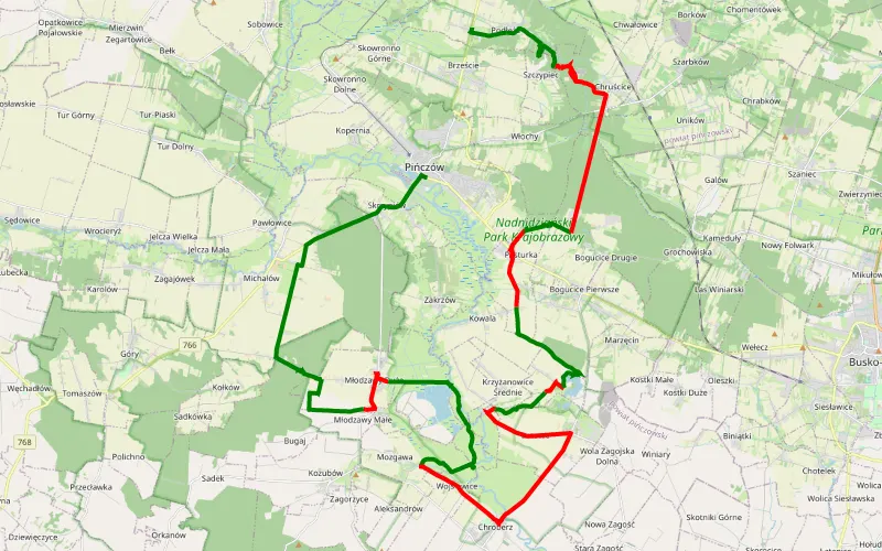
50% Offroad score
Moderate
278m Highest peak
Pińczów - Podłęże
Offroad score50%
No known restrictions87%
Distance44.67 km
Highest peak278m
Offroad22.16 km
1 year ago
View route
60% Offroad score
Moderate
224m Highest peak
Podszkodzie - Michałów
Offroad score60%
No known restrictions88%
Distance37.74 km
Highest peak224m
Offroad22.77 km
1 year ago
View route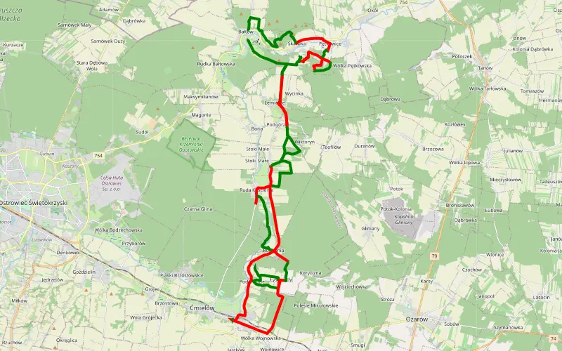
50% Offroad score
Moderate
245m Highest peak
Bałtów
Offroad score50%
No known restrictions90%
Distance55.83 km
Highest peak245m
Offroad27.8 km
2 years ago
View route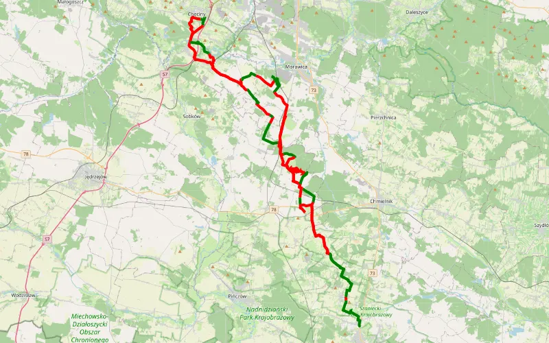
35% Offroad score
Easy
353m Highest peak
Mikułowice - Chrapków
Offroad score35%
No known restrictions94%
Distance119.12 km
Highest peak353m
Offroad41.26 km
5 years ago
View route