



Routes
Holy Cross Voivodeship/ Poland
Showing 24 routes // Page 10
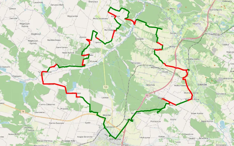
57% Offroad score
Moderate
304m Highest peak
Radek
Offroad score57%
No known restrictions91%
Distance70.04 km
Highest peak304m
Offroad39.73 km
3 years ago
View route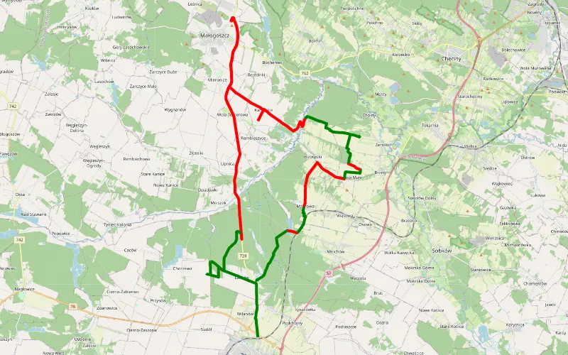
36% Offroad score
Easy
280m Highest peak
Lasków - Jędrzejów
Offroad score36%
No known restrictions84%
Distance50.93 km
Highest peak280m
Offroad18.13 km
3 years ago
View route
72% Offroad score
Difficult
279m Highest peak
Małogoskie - Mieczyn
Offroad score72%
No known restrictions24%
Distance21.51 km
Highest peak279m
Offroad15.46 km
4 months ago
View route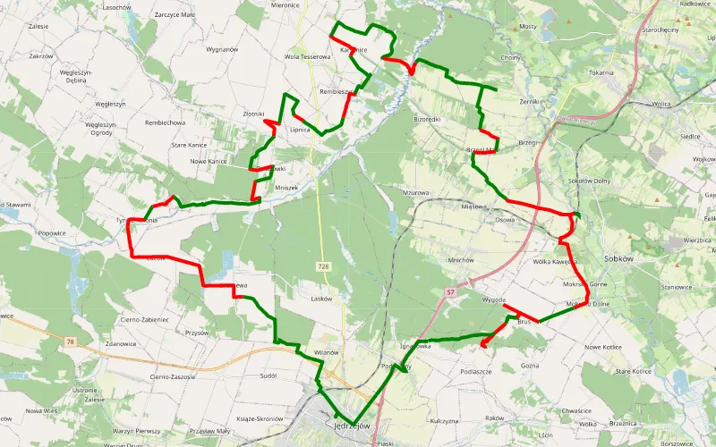
55% Offroad score
Moderate
299m Highest peak
Zielonki
Offroad score55%
No known restrictions92%
Distance70.33 km
Highest peak299m
Offroad38.68 km
3 years ago
View route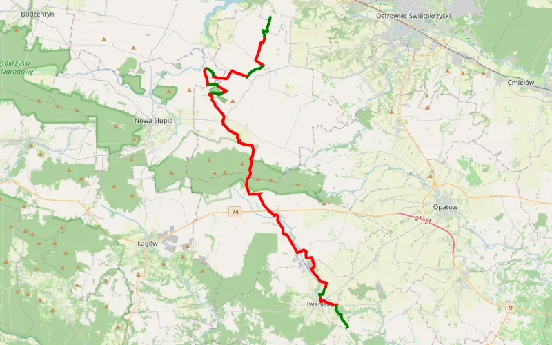
20% Offroad score
Easy
414m Highest peak
Camp 4x4 - Krzyżtopór
Offroad score20%
No known restrictions99%
Distance41.07 km
Highest peak414m
Offroad8.14 km
1 year ago
View route
93% Offroad score
Difficult
316m Highest peak
Sobota
Offroad score93%
No known restrictions26%
Distance11.91 km
Highest peak316m
Offroad11.08 km
1 year ago
View route
26% Offroad score
Easy
474m Highest peak
C
Offroad score26%
No known restrictions99%
Distance78.88 km
Highest peak474m
Offroad20.33 km
7 months ago
View route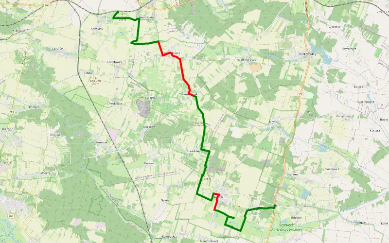
76% Offroad score
Difficult
280m Highest peak
Żydów - Zwierzyniec
Offroad score76%
No known restrictions99%
Distance20.4 km
Highest peak280m
Offroad15.53 km
5 years ago
View route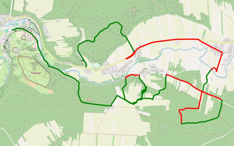
62% Offroad score
Moderate
200m Highest peak
Bałtów - Ponik
Offroad score62%
No known restrictions91%
Distance14.28 km
Highest peak200m
Offroad8.82 km
4 years ago
View route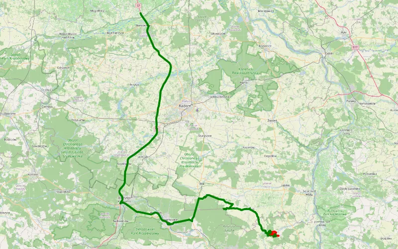
54% Offroad score
Moderate
199m Highest peak
Bałtów - Falęcice
Offroad score54%
No known restrictions93%
Distance18.39 km
Highest peak199m
Offroad9.87 km
4 years ago
View route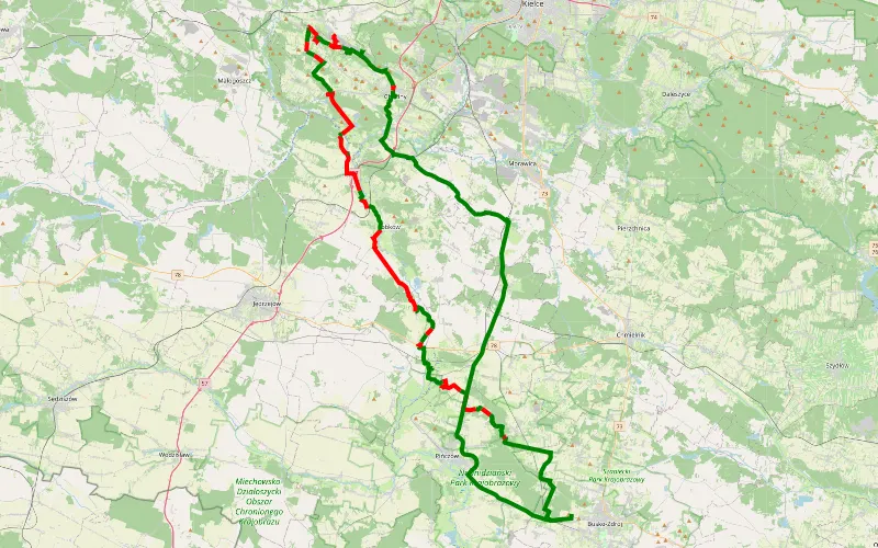
49% Offroad score
Moderate
324m Highest peak
Wełecz przez Chęciny
Offroad score49%
No known restrictions97%
Distance72.62 km
Highest peak324m
Offroad35.77 km
3 years ago
View route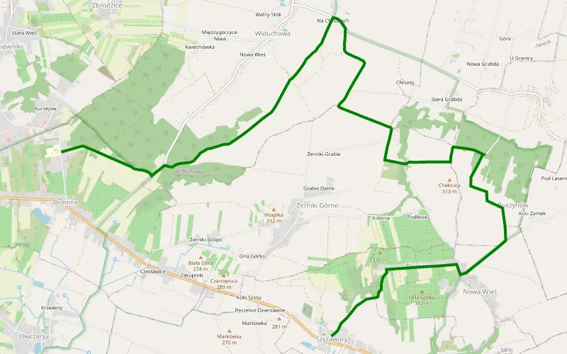
100% Offroad score
Difficult
317m Highest peak
Bronina Szczworyż
Offroad score100%
No known restrictions84%
Distance6.33 km
Highest peak317m
Offroad6.33 km
4 years ago
View route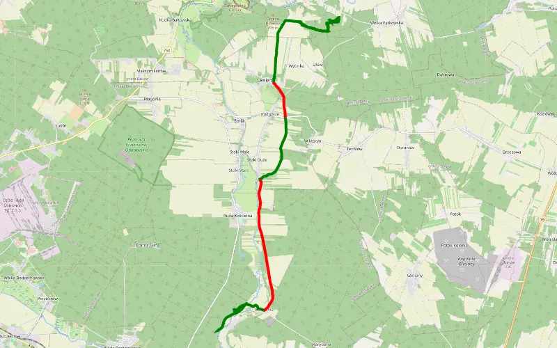
69% Offroad score
Moderate
205m Highest peak
Cmielow
Offroad score69%
No known restrictions89%
Distance18.26 km
Highest peak205m
Offroad12.52 km
4 years ago
View route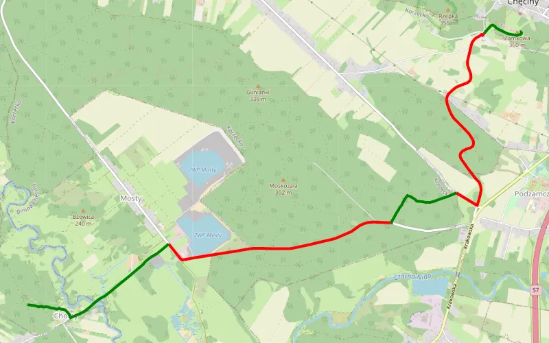
39% Offroad score
Easy
357m Highest peak
Trasa z 50.797483N, 20.461662E do 50.771382N, 20.387848E
Offroad score39%
No known restrictions81%
Distance8.24 km
Highest peak357m
Offroad3.21 km
1 year ago
View route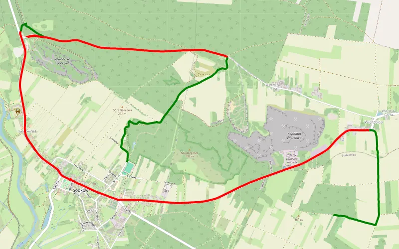
34% Offroad score
Easy
302m Highest peak
Staniewice - Sobków
Offroad score34%
No known restrictions92%
Distance11.45 km
Highest peak302m
Offroad3.86 km
2 years ago
View route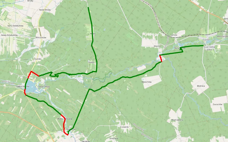
86% Offroad score
Difficult
285m Highest peak
Czarniecka Góra - Niebo
Offroad score86%
No known restrictions57%
Distance26.75 km
Highest peak285m
Offroad22.94 km
2 years ago
View route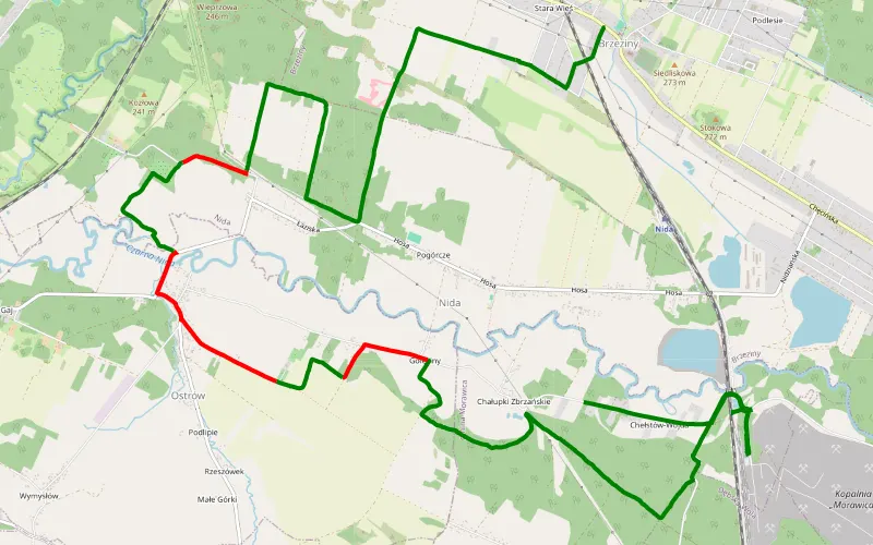
78% Offroad score
Difficult
271m Highest peak
Nida - Brzeziny
Offroad score78%
No known restrictions89%
Distance13.15 km
Highest peak271m
Offroad10.21 km
4 years ago
View route
69% Offroad score
Moderate
195m Highest peak
Bałtów - Pętkowice
Offroad score69%
No known restrictions91%
Distance46.25 km
Highest peak195m
Offroad31.85 km
5 years ago
View route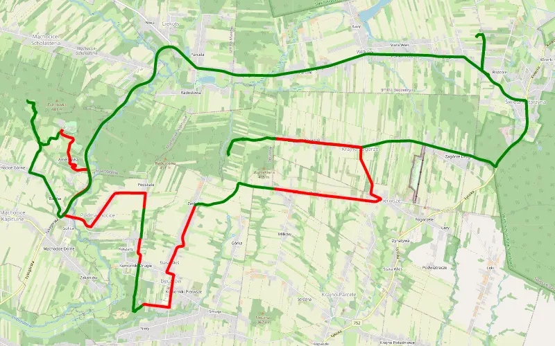
38% Offroad score
Easy
406m Highest peak
Wilków - Święta Katarzyna
Offroad score38%
No known restrictions99%
Distance17.13 km
Highest peak406m
Offroad6.59 km
4 years ago
View route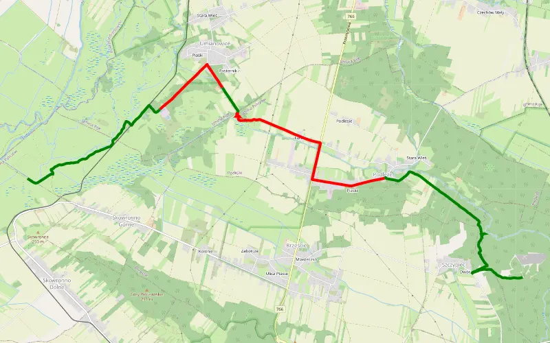
59% Offroad score
Moderate
227m Highest peak
Szczypiec - Skowronno Górne
Offroad score59%
No known restrictions95%
Distance11.53 km
Highest peak227m
Offroad6.84 km
4 years ago
View route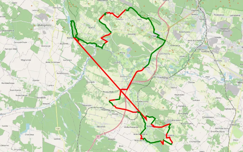
48% Offroad score
Moderate
264m Highest peak
Przejazd szlakiem pows langiewicza
Offroad score48%
No known restrictions98%
Distance70.08 km
Highest peak264m
Offroad33.29 km
3 years ago
View route
100% Offroad score
Difficult
392m Highest peak
Tumlin-Węgle - Zagnańsk
Offroad score100%
No known restrictions21%
Distance5.73 km
Highest peak392m
Offroad5.73 km
1 year ago
View route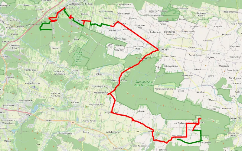
22% Offroad score
Easy
499m Highest peak
Nowa Huta - Jęgrzna
Offroad score22%
No known restrictions90%
Distance58.74 km
Highest peak499m
Offroad13.03 km
2 years ago
View route
43% Offroad score
Moderate
203m Highest peak
Wośp 22
Offroad score43%
No known restrictions97%
Distance24.29 km
Highest peak203m
Offroad10.32 km
4 years ago
View route