



Routes
Tarnowskie Góry County/ Silesian Voivodeship
Showing 24 routes
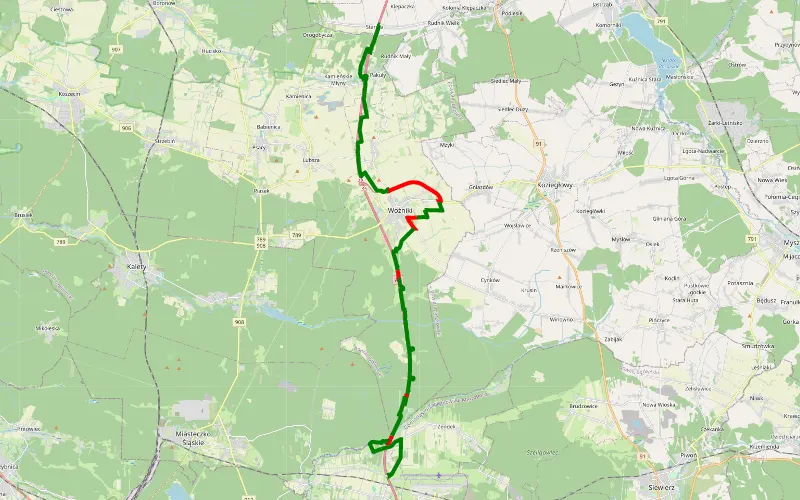
80% Offroad score
Difficult
360m Highest peak
Starcza - Ożarowice
Offroad score80%
No known restrictions88%
Distance27.55 km
Highest peak360m
Offroad22.05 km
1 month ago
View route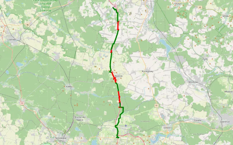
63% Offroad score
Moderate
337m Highest peak
Celiny - Wygoda
Offroad score63%
No known restrictions89%
Distance33.45 km
Highest peak337m
Offroad21.22 km
7 days ago
View route
59% Offroad score
Moderate
360m Highest peak
Pomłlynie - Wąsosz
Offroad score59%
No known restrictions92%
Distance42.81 km
Highest peak360m
Offroad25.16 km
3 months ago
View route
87% Offroad score
Difficult
280m Highest peak
Czekanów - Łubie
Offroad score87%
No known restrictions98%
Distance34.07 km
Highest peak280m
Offroad29.52 km
1 year ago
View route
98% Offroad score
Difficult
312m Highest peak
Ożarowice - Wożniki
Offroad score98%
No known restrictions88%
Distance13.63 km
Highest peak312m
Offroad13.32 km
3 months ago
View route
100% Offroad score
Difficult
265m Highest peak
Wiochy
Offroad score100%
No known restrictions99%
Distance11.08 km
Highest peak265m
Offroad11.08 km
6 months ago
View route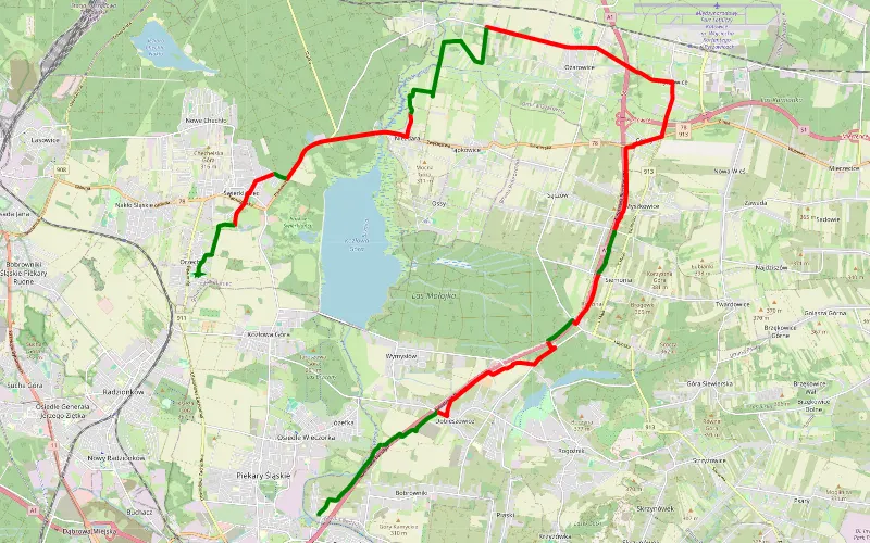
33% Offroad score
Easy
354m Highest peak
Brzozowice-Kamień - Orzech
Offroad score33%
No known restrictions98%
Distance26.91 km
Highest peak354m
Offroad8.8 km
1 month ago
View route
54% Offroad score
Moderate
364m Highest peak
Pomłlynie - Wyrazów
Offroad score54%
No known restrictions91%
Distance43.8 km
Highest peak364m
Offroad23.64 km
9 months ago
View route
94% Offroad score
Difficult
326m Highest peak
W okolicy autostrady A1
Offroad score94%
No known restrictions80%
Distance15.7 km
Highest peak326m
Offroad14.72 km
8 months ago
View route
57% Offroad score
Moderate
355m Highest peak
Pyrzowice - Częstochowa wzdłuż A1
Offroad score57%
No known restrictions92%
Distance53.13 km
Highest peak355m
Offroad30.04 km
10 months ago
View route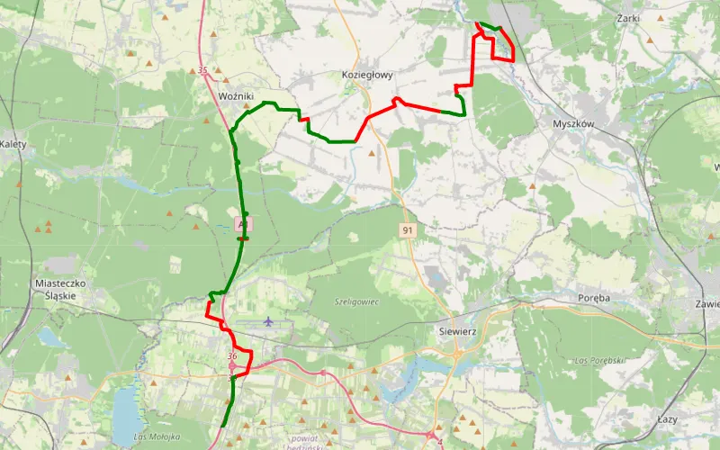
59% Offroad score
Moderate
366m Highest peak
Cos
Offroad score59%
No known restrictions92%
Distance43.8 km
Highest peak366m
Offroad26.01 km
6 months ago
View route
95% Offroad score
Difficult
339m Highest peak
Okolice a1
Offroad score95%
No known restrictions80%
Distance15.18 km
Highest peak339m
Offroad14.42 km
3 months ago
View route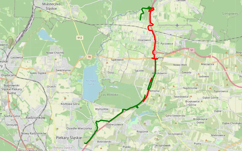
50% Offroad score
Moderate
357m Highest peak
Brzozowice-Kamień - Ożarowice offroad by Max
Offroad score50%
No known restrictions93%
Distance21.82 km
Highest peak357m
Offroad10.89 km
3 months ago
View route
55% Offroad score
Moderate
363m Highest peak
GOP - Poraj
Offroad score55%
No known restrictions90%
Distance55.92 km
Highest peak363m
Offroad30.86 km
6 months ago
View route
72% Offroad score
Difficult
287m Highest peak
4x4 do jeziora Anaszacht
Offroad score72%
No known restrictions98%
Distance11.85 km
Highest peak287m
Offroad8.49 km
1 year ago
View route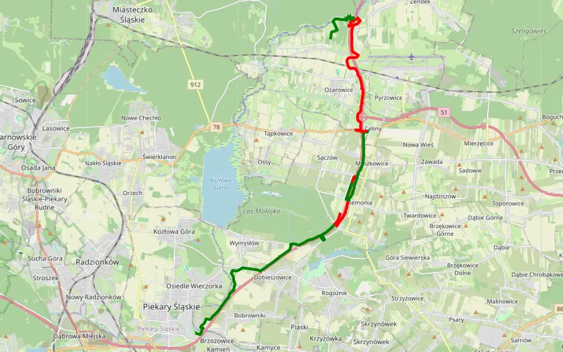
47% Offroad score
Moderate
363m Highest peak
A1
Offroad score47%
No known restrictions93%
Distance21.69 km
Highest peak363m
Offroad10.19 km
3 months ago
View route
85% Offroad score
Difficult
303m Highest peak
Zyglinek
Offroad score85%
No known restrictions84%
Distance22.35 km
Highest peak303m
Offroad19.04 km
4 months ago
View route
100% Offroad score
Difficult
362m Highest peak
Kamień - Wożniki
Offroad score100%
No known restrictions86%
Distance11.88 km
Highest peak362m
Offroad11.88 km
6 months ago
View route
57% Offroad score
Moderate
367m Highest peak
Brzozowice-Kamień - Nadwarcie
Offroad score57%
No known restrictions94%
Distance54.45 km
Highest peak367m
Offroad31.09 km
6 months ago
View route
87% Offroad score
Difficult
272m Highest peak
Mikulczyce - Przezchlebie
Offroad score87%
No known restrictions98%
Distance7.13 km
Highest peak272m
Offroad6.19 km
1 year ago
View route
100% Offroad score
Difficult
315m Highest peak
Warężyno
Offroad score100%
No known restrictions97%
Distance7.83 km
Highest peak315m
Offroad7.83 km
1 year ago
View route
74% Offroad score
Difficult
308m Highest peak
Miechowice - Rokitnica
Offroad score74%
No known restrictions90%
Distance33.11 km
Highest peak308m
Offroad24.46 km
1 year ago
View route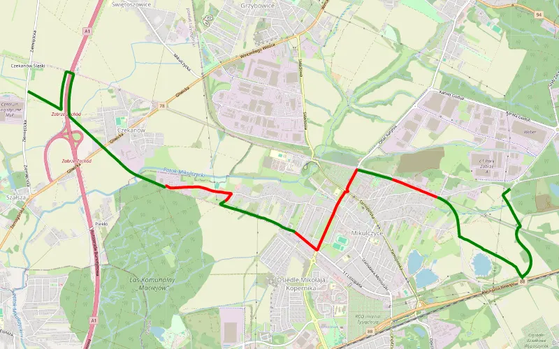
71% Offroad score
Difficult
282m Highest peak
Czekanów - Borzyków
Offroad score71%
No known restrictions98%
Distance11.53 km
Highest peak282m
Offroad8.18 km
1 year ago
View route
77% Offroad score
Difficult
275m Highest peak
Rokitnica - Świętoszowice
Offroad score77%
No known restrictions91%
Distance19.69 km
Highest peak275m
Offroad15.2 km
1 year ago
View route