



Routes
Mikołów County/ Silesian Voivodeship
Showing 13 routes

39% Offroad score
Easy
334m Highest peak
Stary Suszec - Żory
Offroad score39%
No known restrictions96%
Distance45.26 km
Highest peak334m
Offroad17.68 km
1 year ago
View route
94% Offroad score
Difficult
345m Highest peak
Kleszczówka - Żory
Offroad score94%
No known restrictions67%
Distance13.63 km
Highest peak345m
Offroad12.84 km
11 months ago
View route
73% Offroad score
Difficult
272m Highest peak
Paniówki
Offroad score73%
No known restrictions73%
Distance9.58 km
Highest peak272m
Offroad6.96 km
1 year ago
View route
82% Offroad score
Difficult
266m Highest peak
Paniówki
Offroad score82%
No known restrictions69%
Distance8.81 km
Highest peak266m
Offroad7.21 km
1 year ago
View route
88% Offroad score
Difficult
327m Highest peak
Diobol gravis olek
Offroad score88%
No known restrictions49%
Distance27.86 km
Highest peak327m
Offroad24.39 km
1 year ago
View route
39% Offroad score
Easy
336m Highest peak
Ustroń-Mikołów
Offroad score39%
No known restrictions99%
Distance14.11 km
Highest peak336m
Offroad5.53 km
2 years ago
View route
43% Offroad score
Moderate
330m Highest peak
Kotulowiec - Gostyń
Offroad score43%
No known restrictions72%
Distance35.54 km
Highest peak330m
Offroad15.38 km
3 years ago
View route
31% Offroad score
Easy
323m Highest peak
Mokre - Skoczów
Offroad score31%
No known restrictions99%
Distance6.09 km
Highest peak323m
Offroad1.92 km
2 years ago
View route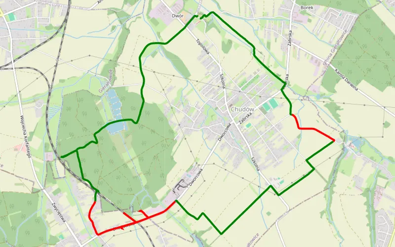
71% Offroad score
Difficult
267m Highest peak
Paniówki
Offroad score71%
No known restrictions74%
Distance11.8 km
Highest peak267m
Offroad8.33 km
5 years ago
View route
100% Offroad score
Difficult
281m Highest peak
Żory -Kobiur
Offroad score100%
No known restrictions74%
Distance7.65 km
Highest peak281m
Offroad7.65 km
5 years ago
View route
100% Offroad score
Difficult
337m Highest peak
Łaziska Średnie - Wyry
Offroad score100%
No known restrictions98%
Distance2.27 km
Highest peak337m
Offroad2.27 km
5 years ago
View route
71% Offroad score
Difficult
263m Highest peak
Przyszowice - Panewnik
Offroad score71%
No known restrictions45%
Distance16.77 km
Highest peak263m
Offroad11.85 km
5 months ago
View route
60% Offroad score
Moderate
353m Highest peak
Tour De Hałda Rundka przez hałdę Murcki 330m, Kostuchna 339m, Marta Waleska 315m, Skalny 389m, Panewnicka 281m
Offroad score60%
No known restrictions60%
Distance67.87 km
Highest peak353m
Offroad40.49 km
1 year ago
View route