



Routes
Częstochowa County/ Silesian Voivodeship
Showing 24 routes
63% Offroad score
Moderate
337m Highest peak
Celiny - Wygoda
Offroad score63%
No known restrictions89%
Distance33.45 km
Highest peak337m
Offroad21.22 km
7 days ago
View route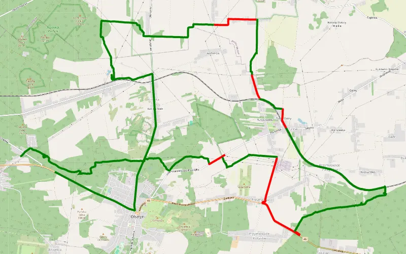
79% Offroad score
Difficult
340m Highest peak
Kusięta
Offroad score79%
No known restrictions96%
Distance25.88 km
Highest peak340m
Offroad20.53 km
4 months ago
View route
59% Offroad score
Moderate
360m Highest peak
Pomłlynie - Wąsosz
Offroad score59%
No known restrictions92%
Distance42.81 km
Highest peak360m
Offroad25.16 km
3 months ago
View route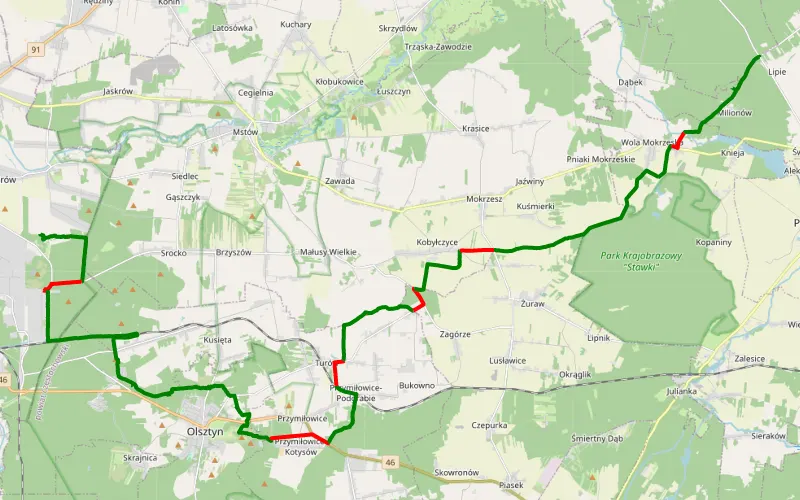
82% Offroad score
Difficult
339m Highest peak
Mirów - Olbrachcice
Offroad score82%
No known restrictions79%
Distance46.77 km
Highest peak339m
Offroad38.14 km
4 months ago
View route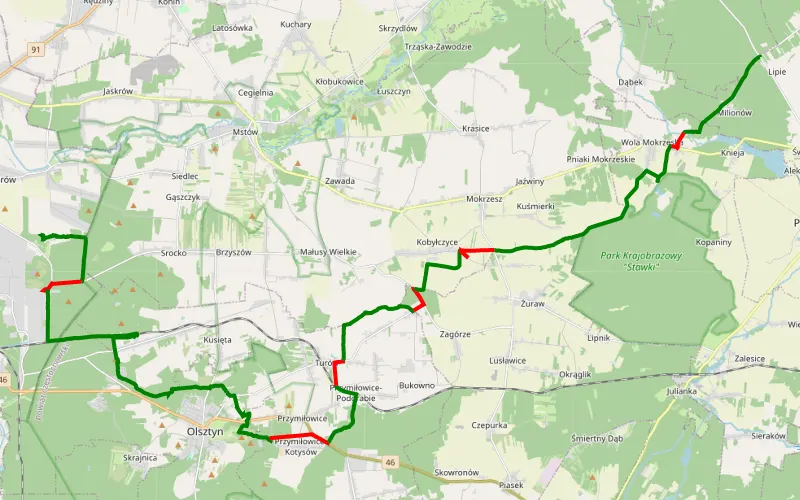
81% Offroad score
Difficult
330m Highest peak
Mirów - Dąbrowa Zielona
Offroad score81%
No known restrictions81%
Distance48.45 km
Highest peak330m
Offroad39.14 km
4 months ago
View route
54% Offroad score
Moderate
364m Highest peak
Pomłlynie - Wyrazów
Offroad score54%
No known restrictions91%
Distance43.8 km
Highest peak364m
Offroad23.64 km
9 months ago
View route
65% Offroad score
Moderate
380m Highest peak
Cegielnia - Suliszowice
Offroad score65%
No known restrictions91%
Distance33.29 km
Highest peak380m
Offroad21.51 km
5 months ago
View route
69% Offroad score
Moderate
322m Highest peak
Dziś
Offroad score69%
No known restrictions99%
Distance15.68 km
Highest peak322m
Offroad10.79 km
4 months ago
View route
76% Offroad score
Difficult
324m Highest peak
Mstów - Olsztyn
Offroad score76%
No known restrictions99%
Distance15.38 km
Highest peak324m
Offroad11.65 km
5 months ago
View route
64% Offroad score
Moderate
374m Highest peak
Mstów - Suliszowice
Offroad score64%
No known restrictions91%
Distance32.63 km
Highest peak374m
Offroad20.8 km
8 months ago
View route
45% Offroad score
Moderate
327m Highest peak
Mstów - Wierzchowisko
Offroad score45%
No known restrictions95%
Distance33.99 km
Highest peak327m
Offroad15.23 km
10 months ago
View route
57% Offroad score
Moderate
355m Highest peak
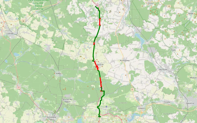
Pyrzowice - Częstochowa wzdłuż A1
Offroad score57%
No known restrictions92%
Distance53.13 km
Highest peak355m
Offroad30.04 km
10 months ago
View route
45% Offroad score
Moderate
332m Highest peak
Zawodzie - Błeszno
Offroad score45%
No known restrictions94%
Distance35.77 km
Highest peak332m
Offroad16.08 km
1 year ago
View route
62% Offroad score
Moderate
362m Highest peak
Suliszowice - Mstów
Offroad score62%
No known restrictions97%
Distance21.87 km
Highest peak362m
Offroad13.64 km
8 months ago
View route
59% Offroad score
Moderate
391m Highest peak
Kroczyce - Zawada
Offroad score59%
No known restrictions89%
Distance32.03 km
Highest peak391m
Offroad18.97 km
5 months ago
View route
54% Offroad score
Moderate
366m Highest peak
Potok Złoty - Prędziszów
Offroad score54%
No known restrictions89%
Distance35.71 km
Highest peak366m
Offroad19.22 km
10 months ago
View route
54% Offroad score
Moderate
401m Highest peak
igor
Offroad score54%
No known restrictions90%
Distance41.07 km
Highest peak401m
Offroad21.98 km
1 year ago
View route
54% Offroad score
Moderate
401m Highest peak
igor
Offroad score54%
No known restrictions90%
Distance41.07 km
Highest peak401m
Offroad21.98 km
1 year ago
View route
57% Offroad score
Moderate
408m Highest peak
Zielona - Hucisko
Offroad score57%
No known restrictions93%
Distance44.09 km
Highest peak408m
Offroad25.18 km
1 year ago
View route
52% Offroad score
Moderate
281m Highest peak
Wyczerpy - Kalej
Offroad score52%
No known restrictions92%
Distance48.37 km
Highest peak281m
Offroad25.38 km
9 months ago
View route
83% Offroad score
Difficult
340m Highest peak
Skrajnica - Lasy - Piaskownica - Jeziorko - pola - lasy - 3 godziny.
Offroad score83%
No known restrictions94%
Distance29.08 km
Highest peak340m
Offroad24.01 km
2 years ago
View route
59% Offroad score
Moderate
398m Highest peak
Małusy Wielkie - Cegielnia
Offroad score59%
No known restrictions94%
Distance55.06 km
Highest peak398m
Offroad32.62 km
7 months ago
View route44% Offroad score
Moderate
401m Highest peak
Włodowice - Zawiercie Nowe
Offroad score44%
No known restrictions89%
Distance60.81 km
Highest peak401m
Offroad26.82 km
1 year ago2
View route
67% Offroad score
Moderate
345m Highest peak
Extra
Offroad score67%
No known restrictions83%
Distance34 km
Highest peak345m
Offroad22.68 km
1 year ago
View route