



Routes
Bielsko County/ Silesian Voivodeship
Showing 24 routes // Page 3
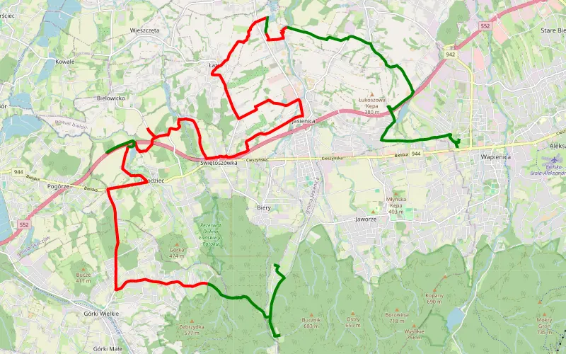
18% Offroad score
Easy
374m Highest peak
Domowa
Offroad score18%
No known restrictions94%
Distance25.37 km
Highest peak374m
Offroad4.55 km
1 year ago
View route
13% Offroad score
Easy
464m Highest peak
Wilamowice - Dolny Bór
Offroad score13%
No known restrictions98%
Distance50.17 km
Highest peak464m
Offroad6.35 km
2 months ago
View route
91% Offroad score
Difficult
743m Highest peak
Puszcza - Bukowiec
Offroad score91%
No known restrictions42%
Distance5.32 km
Highest peak743m
Offroad4.85 km
3 years ago
View route
47% Offroad score
Moderate
620m Highest peak
Kobiór - Glinka
Offroad score47%
No known restrictions63%
Distance26.18 km
Highest peak620m
Offroad12.43 km
4 years ago
View route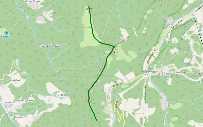
100% Offroad score
Difficult
966m Highest peak
Kotarz from Salmopol
Offroad score100%
No known restrictions43%
Distance3.9 km
Highest peak966m
Offroad3.9 km
2 months ago
View route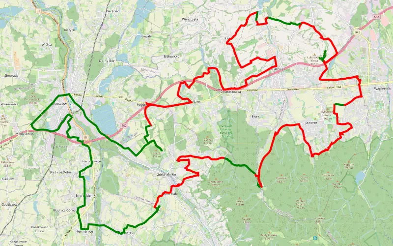
19% Offroad score
Easy
458m Highest peak
Skoczów
Offroad score19%
No known restrictions94%
Distance53.01 km
Highest peak458m
Offroad10.05 km
3 years ago
View route
11% Offroad score
Easy
794m Highest peak
Objazdówka po okolicy Wisła-Ustroń-Brenna itd.Zwiedzanie muzeów itd. Troche terenu wymagającego, tor offroadowy, sporo asfaltu.
Offroad score11%
No known restrictions99%
Distance57.65 km
Highest peak794m
Offroad6.61 km
4 months ago
View route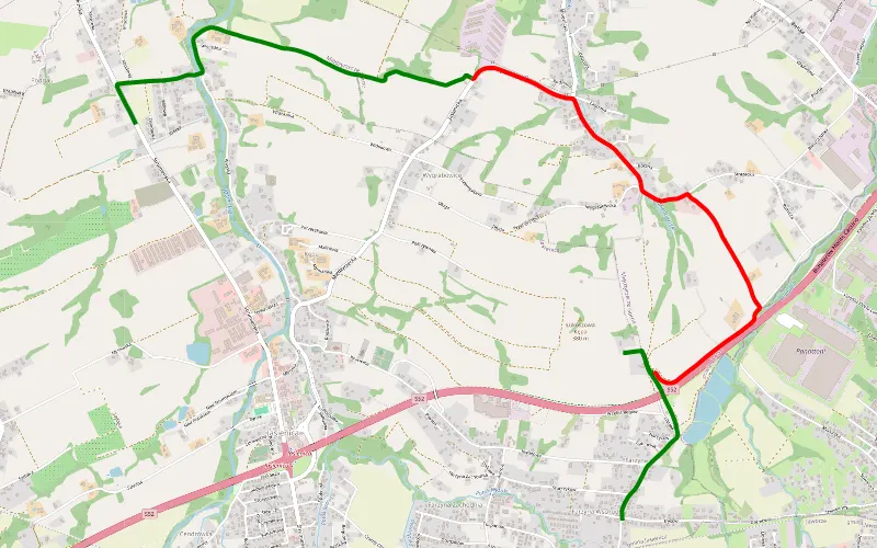
38% Offroad score
Easy
357m Highest peak
Jaworze - Łazy
Offroad score38%
No known restrictions99%
Distance4.96 km
Highest peak357m
Offroad1.91 km
3 years ago
View route
95% Offroad score
Difficult
770m Highest peak
Kobiernice - Porąbka
Offroad score95%
No known restrictions32%
Distance9.4 km
Highest peak770m
Offroad8.92 km
5 years ago
View route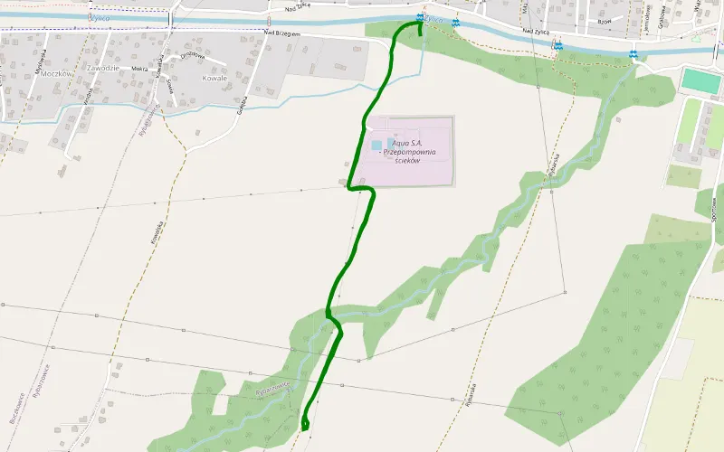
100% Offroad score
Difficult
439m Highest peak
Rybarzowice
Offroad score100%
No known restrictions99%
Distance2 km
Highest peak439m
Offroad2 km
2 years ago
View route
16% Offroad score
Easy
798m Highest peak
Skoczów - Jasienica
Offroad score16%
No known restrictions93%
Distance33.39 km
Highest peak798m
Offroad5.33 km
4 years ago
View route
100% Offroad score
Difficult
748m Highest peak
3.58 km Offroad Trail
Offroad score100%
No known restrictions45%
Distance3.58 km
Highest peak748m
Offroad3.58 km
1 year ago
View route
100% Offroad score
Difficult
739m Highest peak
Trzonka do puszczy
Offroad score100%
No known restrictions30%
Distance5.23 km
Highest peak739m
Offroad5.23 km
4 years ago
View route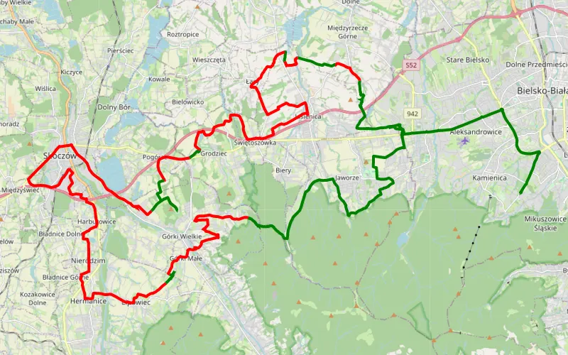
19% Offroad score
Easy
402m Highest peak
Twardy
Offroad score19%
No known restrictions96%
Distance52.26 km
Highest peak402m
Offroad9.78 km
4 years ago
View route
90% Offroad score
Difficult
1201m Highest peak
Kozia góra-Skrzyczne
Offroad score90%
No known restrictions12%
Distance37.33 km
Highest peak1,201m
Offroad33.76 km
1 year ago
View route
18% Offroad score
Easy
383m Highest peak
Pierkowskie - Hajduki Wielkie
Offroad score18%
No known restrictions98%
Distance131.51 km
Highest peak383m
Offroad23.49 km
5 months ago
View route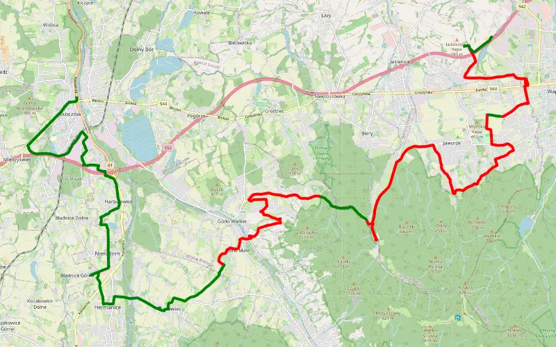
13% Offroad score
Easy
463m Highest peak
Skoczów - Wapienica
Offroad score13%
No known restrictions92%
Distance24.65 km
Highest peak463m
Offroad3.19 km
1 year ago
View route
75% Offroad score
Difficult
1232m Highest peak
Klimczok Skrzyczne pozwolenie
Offroad score75%
No known restrictions27%
Distance30.13 km
Highest peak1,232m
Offroad22.56 km
1 year ago
View route
100% Offroad score
Difficult
834m Highest peak
Kozy Górne - Przełęcz U Panienki - Groniczki - Czupel - Straconka
Offroad score100%
No known restrictions1%
Distance11.43 km
Highest peak834m
Offroad11.43 km
1 year ago
View route
15% Offroad score
Easy
477m Highest peak
Olszówka Górna - Wapienica
Offroad score15%
No known restrictions97%
Distance77.33 km
Highest peak477m
Offroad11.57 km
2 years ago
View route
67% Offroad score
Moderate
831m Highest peak
Brzezinka - Przełęcz Bukowska - Porębski Groń - Przełęcz Beskid Targanicki - Ślemień
Offroad score67%
No known restrictions38%
Distance23.41 km
Highest peak831m
Offroad15.65 km
4 months ago
View route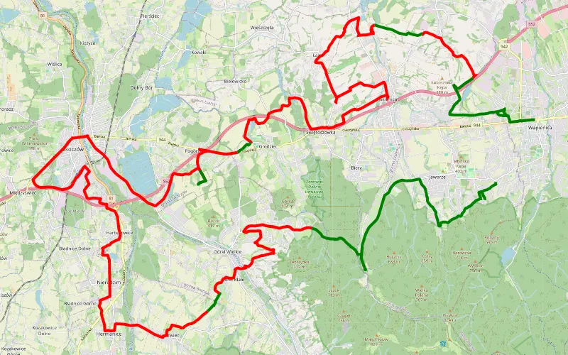
12% Offroad score
Easy
386m Highest peak
Wapienica - Jaworze
Offroad score12%
No known restrictions96%
Distance51.65 km
Highest peak386m
Offroad6.21 km
1 year ago
View route
88% Offroad score
Difficult
906m Highest peak
Magurka Wilkowicka, Przełęcz U Panienki and Hrobacza Łąka from Straconka
Offroad score88%
No known restrictions20%
Distance26.31 km
Highest peak906m
Offroad23.09 km
2 years ago
View route
100% Offroad score
Difficult
882m Highest peak
Kozubnik - Kiczera - Przełęcz Przysłop Cisowy - Kocierz - Andrychów
Offroad score100%
No known restrictions12%
Distance11.03 km
Highest peak882m
Offroad11.03 km
1 year ago
View route