



Routes
Jasło County/ Subcarpathian Voivodeship
Showing 24 routes // Page 2

40% Offroad score
Moderate
445m Highest peak
Dobieszyn - Borek
Offroad score40%
No known restrictions99%
Distance73.71 km
Highest peak445m
Offroad29.63 km
4 years ago
View route
26% Offroad score
Easy
561m Highest peak
Beskid niski
Offroad score26%
No known restrictions97%
Distance72.09 km
Highest peak561m
Offroad18.82 km
2 years ago
View route
20% Offroad score
Easy
559m Highest peak
Smerekowiec - Pętna
Offroad score20%
No known restrictions98%
Distance31.87 km
Highest peak559m
Offroad6.38 km
2 years ago
View route
39% Offroad score
Easy
502m Highest peak
Kryg
Offroad score39%
No known restrictions99%
Distance37.59 km
Highest peak502m
Offroad14.48 km
5 years ago
View route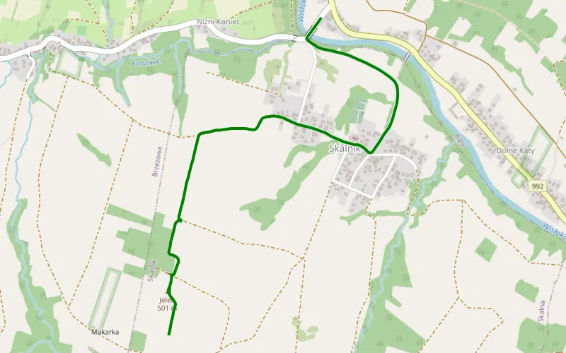
100% Offroad score
Difficult
500m Highest peak
Skalnik
Offroad score100%
No known restrictions99%
Distance1.43 km
Highest peak500m
Offroad1.43 km
2 months ago
View route
28% Offroad score
Easy
640m Highest peak
Żarnowiec - chyrowa-myscowa
Offroad score28%
No known restrictions99%
Distance86.34 km
Highest peak640m
Offroad24.53 km
5 years ago
View route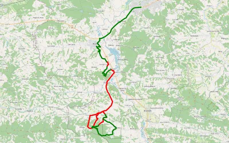
38% Offroad score
Easy
410m Highest peak
Wolica - Jodłowa
Offroad score38%
No known restrictions96%
Distance36.03 km
Highest peak410m
Offroad13.55 km
5 years ago
View route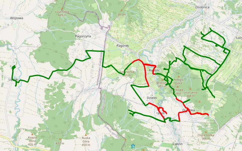
72% Offroad score
Difficult
307m Highest peak
Duląbka - Lipinki
Offroad score72%
No known restrictions99%
Distance34.09 km
Highest peak307m
Offroad24.49 km
6 years ago
View route
23% Offroad score
Easy
652m Highest peak
Dobieszyn - Chlebna
Offroad score23%
No known restrictions97%
Distance76.22 km
Highest peak652m
Offroad17.4 km
4 years ago
View route
48% Offroad score
Moderate
426m Highest peak
Kryg - Folusz
Offroad score48%
No known restrictions99%
Distance45.56 km
Highest peak426m
Offroad21.99 km
6 years ago
View route
75% Offroad score
Difficult
425m Highest peak
2017 03 12 Beskid NIski z GGO4x4
Offroad score75%
No known restrictions99%
Distance20.95 km
Highest peak425m
Offroad15.71 km
9 years ago
View route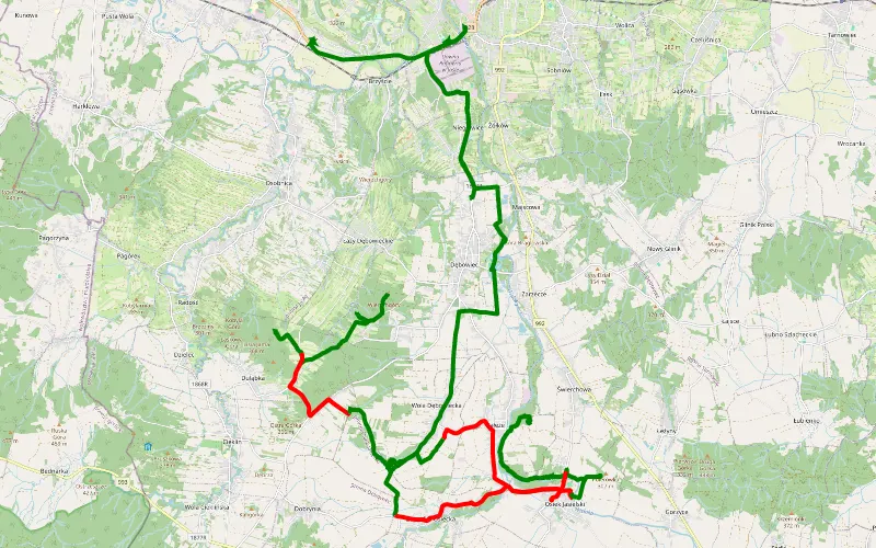
61% Offroad score
Moderate
363m Highest peak
Łazy - Trzcinica
Offroad score61%
No known restrictions99%
Distance32.53 km
Highest peak363m
Offroad20 km
7 years ago
View route
100% Offroad score
Difficult
402m Highest peak
Dębowa - Czermna
Offroad score100%
No known restrictions40%
Distance3.61 km
Highest peak402m
Offroad3.61 km
4 years ago
View route
31% Offroad score
Easy
627m Highest peak
Iwonicz-Wysowa
Offroad score31%
No known restrictions95%
Distance49.79 km
Highest peak627m
Offroad15.66 km
12 years ago
View route
26% Offroad score
Easy
636m Highest peak
Dobieszyn - Chlebna
Offroad score26%
No known restrictions98%
Distance94.05 km
Highest peak636m
Offroad24.67 km
4 years ago
View route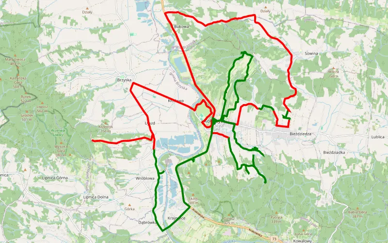
22% Offroad score
Easy
410m Highest peak
Zawadka
Offroad score22%
No known restrictions99%
Distance35.73 km
Highest peak410m
Offroad8.02 km
5 years ago
View route
100% Offroad score
Difficult
846m Highest peak
Folusz – Folusz
Offroad score100%
No known restrictions0%
Distance9.27 km
Highest peak846m
Offroad9.27 km
3 years ago
View route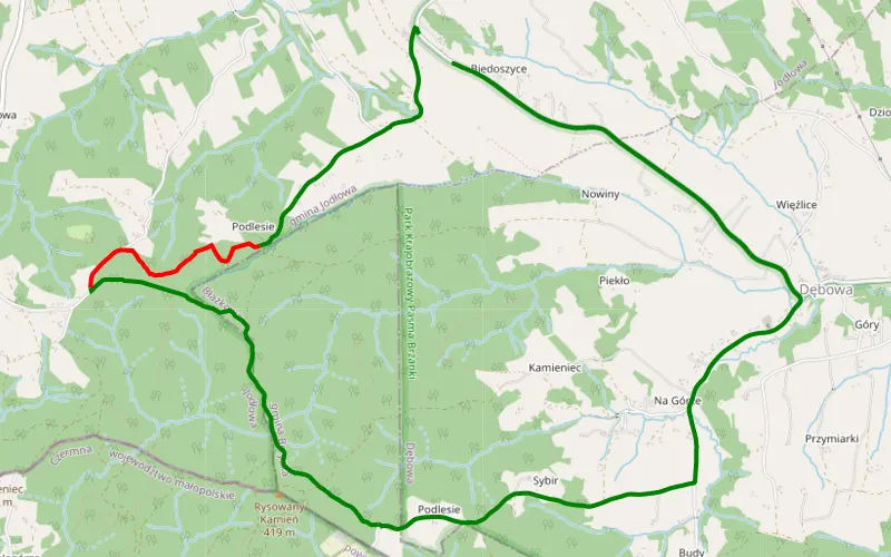
69% Offroad score
Moderate
417m Highest peak
Jodłowa - Wiszowa
Offroad score69%
No known restrictions75%
Distance4.21 km
Highest peak417m
Offroad2.89 km
5 years ago
View route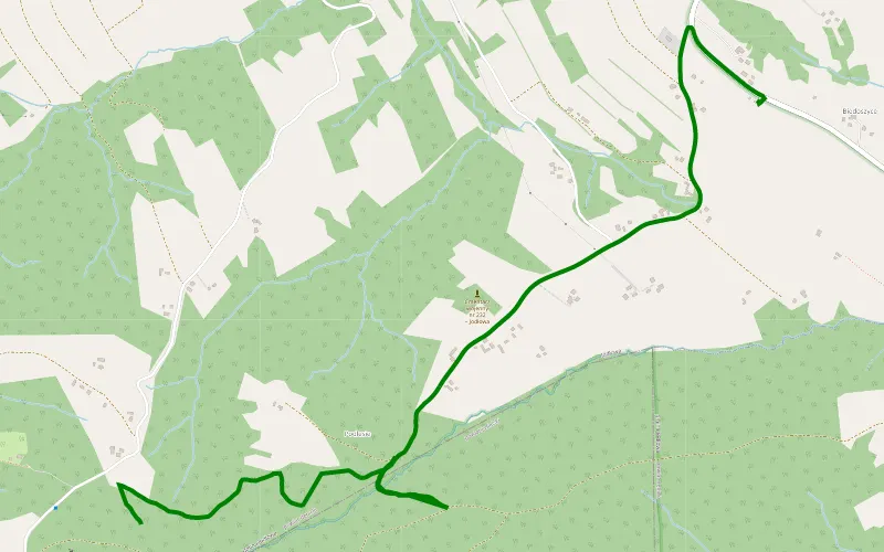
100% Offroad score
Difficult
407m Highest peak
Jodłowa 1
Offroad score100%
No known restrictions99%
Distance1.97 km
Highest peak407m
Offroad1.97 km
5 years ago
View route
25% Offroad score
Easy
584m Highest peak
Krzywa - Korczyna
Offroad score25%
No known restrictions91%
Distance31.13 km
Highest peak584m
Offroad7.84 km
3 years ago
View route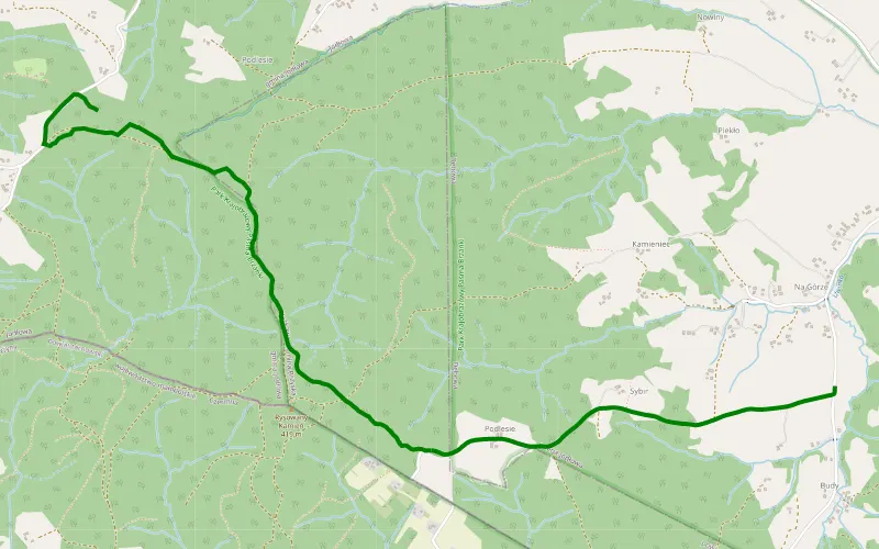
100% Offroad score
Difficult
426m Highest peak
Wiszowa - Dębowa
Offroad score100%
No known restrictions59%
Distance2.62 km
Highest peak426m
Offroad2.62 km
5 years ago
View route
39% Offroad score
Easy
656m Highest peak
2021-06-05 Terenowe Widokówki GGO4x4
Offroad score39%
No known restrictions95%
Distance75.53 km
Highest peak656m
Offroad29.68 km
3 years ago
View route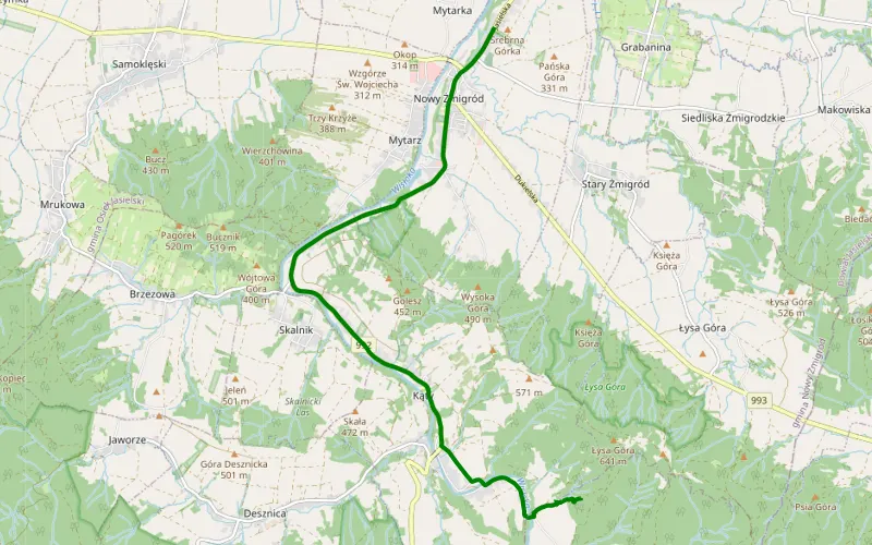
100% Offroad score
Difficult
495m Highest peak
Kąty - Nowy Żmigród
Offroad score100%
No known restrictions72%
Distance0.98 km
Highest peak495m
Offroad0.98 km
3 years ago
View route
33% Offroad score
Easy
671m Highest peak
Żarnowiec - Mytarz
Offroad score33%
No known restrictions81%
Distance63.99 km
Highest peak671m
Offroad21.09 km
4 years ago
View route