



Routes
Nysa County/ Opole Voivodeship
Showing 12 routes // Page 2
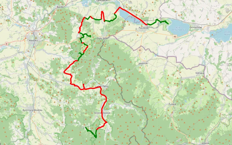
39% Offroad score
Easy
709m Highest peak
Pomianów Dolny - Paczków
Offroad score39%
No known restrictions92%
Distance86.93 km
Highest peak709m
Offroad33.55 km
6 years ago
View route
100% Offroad score
Difficult
281m Highest peak
Jedrzychow - Makowice
Offroad score100%
No known restrictions66%
Distance4.42 km
Highest peak281m
Offroad4.42 km
11 years ago
View route
100% Offroad score
Difficult
222m Highest peak
Paczków / droga przy zalewie
Offroad score100%
No known restrictions73%
Distance1.1 km
Highest peak222m
Offroad1.1 km
2 years ago
View route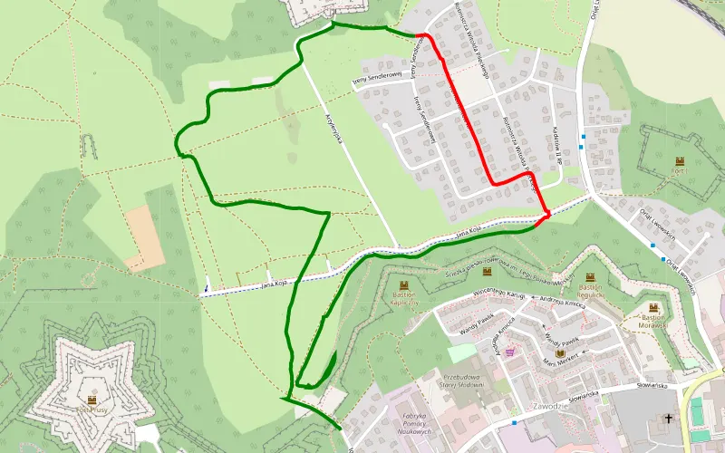
81% Offroad score
Difficult
231m Highest peak
Nysa
Offroad score81%
No known restrictions77%
Distance3.4 km
Highest peak231m
Offroad2.75 km
6 years ago
View route
32% Offroad score
Easy
684m Highest peak
Jezioro Nyskie, Topola, Otmuchowskie cz. 1
Offroad score32%
No known restrictions94%
Distance153.95 km
Highest peak684m
Offroad49.78 km
3 years ago
View route
18% Offroad score
Easy
363m Highest peak
Nysa
Offroad score18%
No known restrictions96%
Distance104.36 km
Highest peak363m
Offroad18.45 km
4 months ago
View route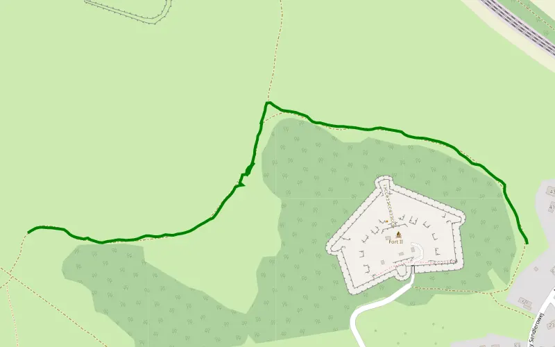
100% Offroad score
Difficult
235m Highest peak
Bagna na fortach
Offroad score100%
No known restrictions99%
Distance1.08 km
Highest peak235m
Offroad1.08 km
5 years ago
View route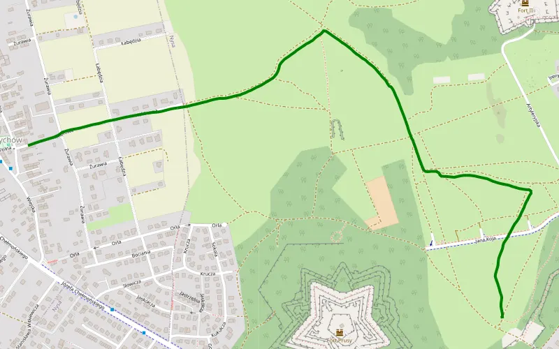
100% Offroad score
Difficult
222m Highest peak
Nysa - Jedrzychow
Offroad score100%
No known restrictions80%
Distance1.73 km
Highest peak222m
Offroad1.73 km
6 years ago
View route
11% Offroad score
Easy
897m Highest peak
Pogwizdów - Przełęcz Kozia - Skorochów
Offroad score11%
No known restrictions96%
Distance458.8 km
Highest peak897m
Offroad49.49 km
2 months ago
View route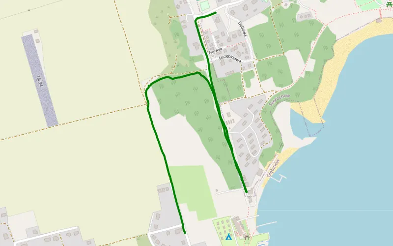
100% Offroad score
Difficult
223m Highest peak
Głębinów - Skorochów
Offroad score100%
No known restrictions71%
Distance1.53 km
Highest peak223m
Offroad1.53 km
6 years ago
View route
29% Offroad score
Easy
305m Highest peak
plan d.sląsk DZIEŃ 1
Offroad score29%
No known restrictions96%
Distance285.18 km
Highest peak305m
Offroad83.4 km
5 years ago
View route
14% Offroad score
Easy
675m Highest peak
Popowice - Chałupy
Offroad score14%
No known restrictions77%
Distance329.33 km
Highest peak675m
Offroad46.83 km
1 year ago
View route