



Routes
Żyrardów County/ Masovian Voivodeship
Showing 20 routes // Page 8
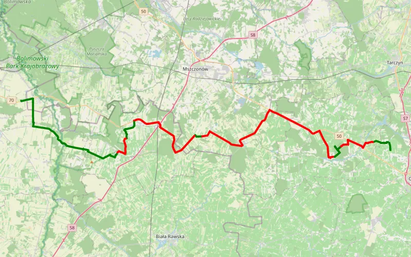
28% Offroad score
Easy
204m Highest peak
Zamotani- Pamiętna
Offroad score28%
No known restrictions94%
Distance53.88 km
Highest peak204m
Offroad14.95 km
4 years ago
View route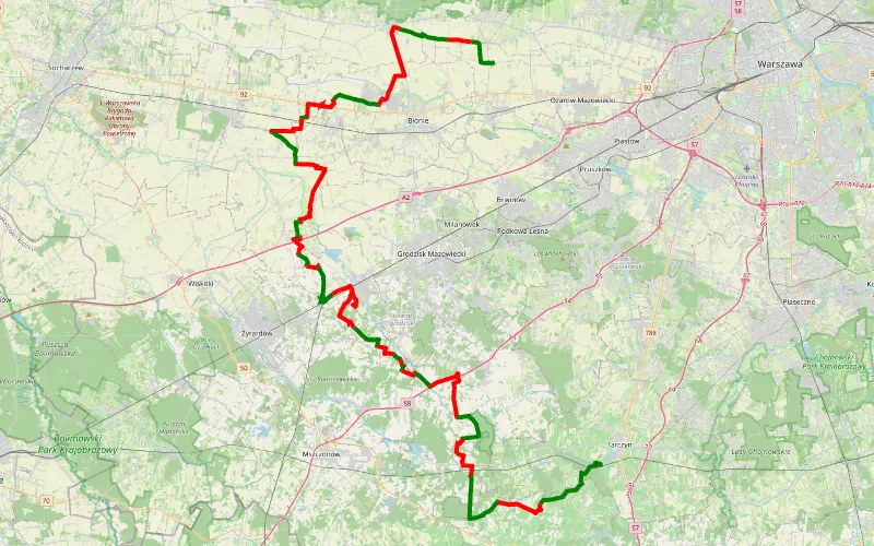
41% Offroad score
Moderate
200m Highest peak
Pilaszków - Jeziorzany
Offroad score41%
No known restrictions96%
Distance90.88 km
Highest peak200m
Offroad37.44 km
2 years ago
View route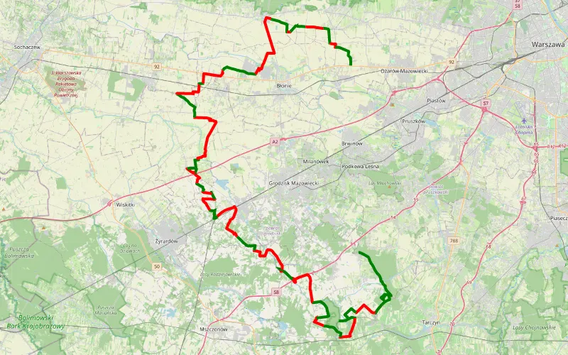
44% Offroad score
Moderate
281m Highest peak
Siestrzeń - Wolskie sw8
Offroad score44%
No known restrictions95%
Distance98.95 km
Highest peak281m
Offroad43.54 km
3 years ago
View route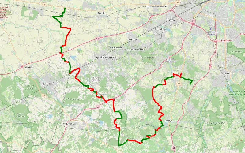
39% Offroad score
Easy
227m Highest peak
Stefanowo - Marysinek
Offroad score39%
No known restrictions95%
Distance92.57 km
Highest peak227m
Offroad35.86 km
1 year ago
View route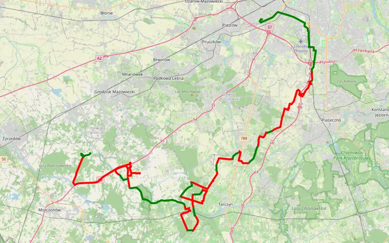
28% Offroad score
Easy
191m Highest peak
Skorosze - Kuklówka Radziejowicka BLK
Offroad score28%
No known restrictions94%
Distance85.31 km
Highest peak191m
Offroad23.98 km
1 year ago
View route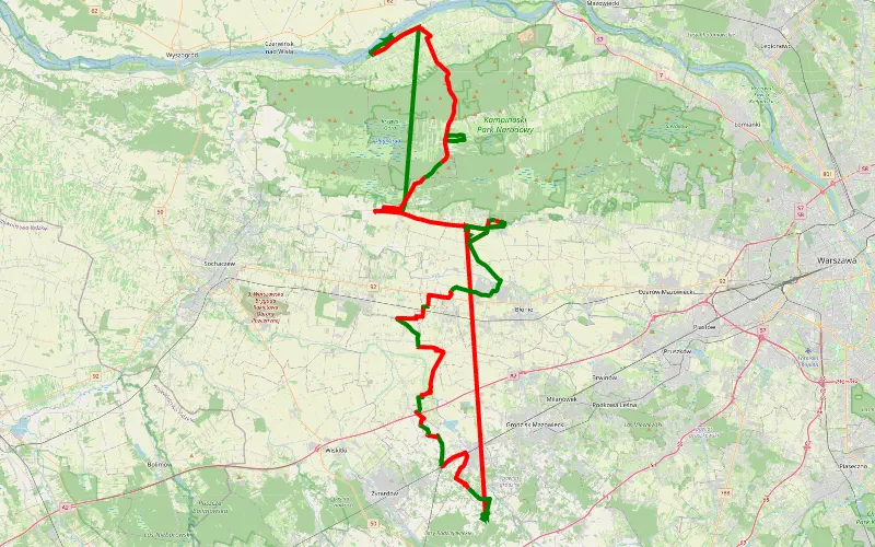
29% Offroad score
Easy
139m Highest peak
Zapomniałem wyłączyć trasę xd
Offroad score29%
No known restrictions90%
Distance123.91 km
Highest peak139m
Offroad36.27 km
2 years ago
View route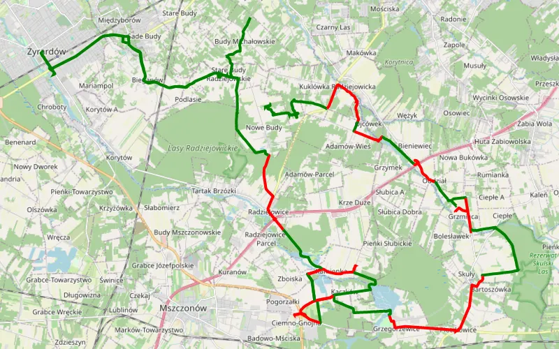
52% Offroad score
Moderate
183m Highest peak
Radziejowskie Budy Nowe - Budy Grzybek
Offroad score52%
No known restrictions89%
Distance48.52 km
Highest peak183m
Offroad25.3 km
5 years ago
View route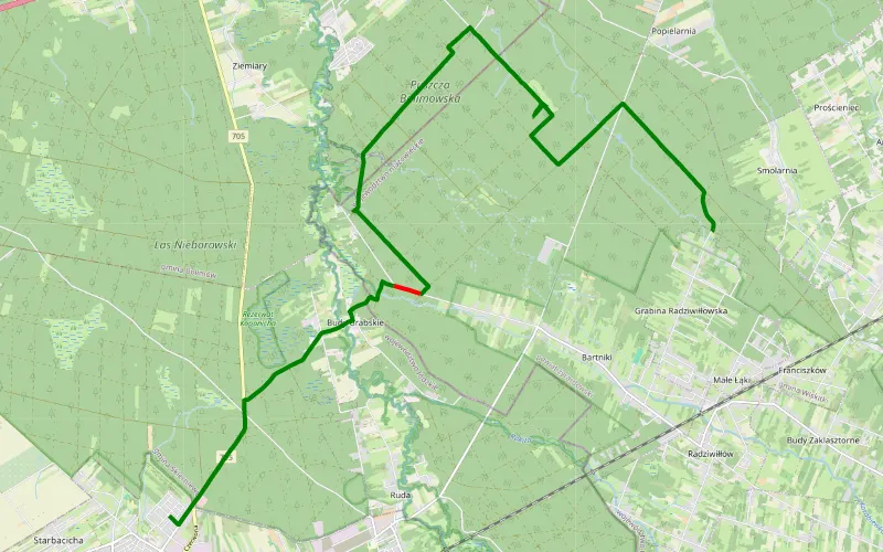
97% Offroad score
Difficult
163m Highest peak
Na grabine przez ambonę
Offroad score97%
No known restrictions11%
Distance14.13 km
Highest peak163m
Offroad13.71 km
6 years ago
View route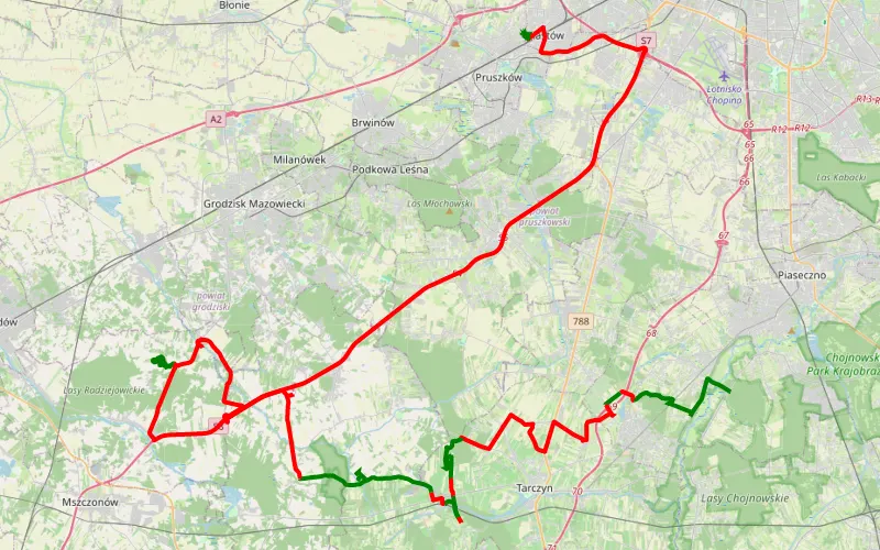
26% Offroad score
Easy
179m Highest peak
Bogatki - Piastów
Offroad score26%
No known restrictions91%
Distance106.82 km
Highest peak179m
Offroad27.43 km
6 years ago
View route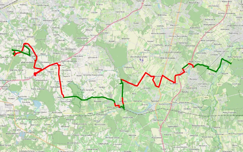
36% Offroad score
Easy
186m Highest peak
Bogatki - Kuklówka Radziejowicka
Offroad score36%
No known restrictions85%
Distance54.59 km
Highest peak186m
Offroad19.87 km
6 years ago
View route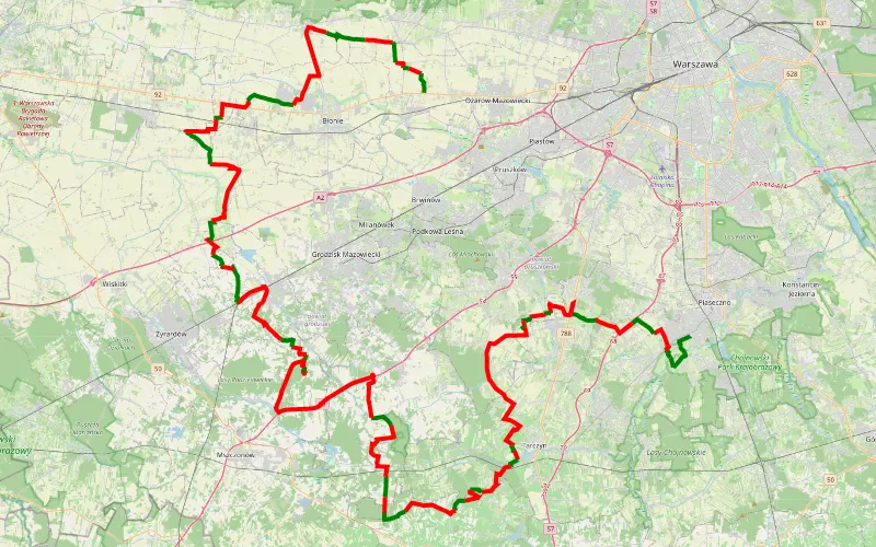
28% Offroad score
Easy
219m Highest peak
Zalesie - Wolskie
Offroad score28%
No known restrictions96%
Distance139.22 km
Highest peak219m
Offroad39.08 km
4 years ago
View route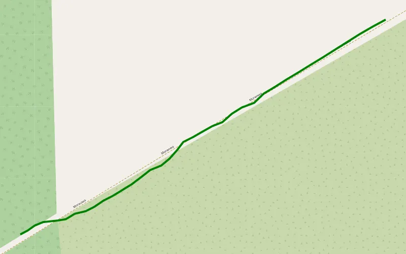
100% Offroad score
Difficult
194m Highest peak
Gąba
Offroad score100%
No known restrictions91%
Distance0.28 km
Highest peak194m
Offroad0.28 km
1 year ago
View route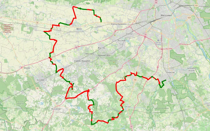
30% Offroad score
Easy
203m Highest peak
Za śladem wierzb 8.0
Offroad score30%
No known restrictions97%
Distance145.89 km
Highest peak203m
Offroad43.55 km
6 years ago
View route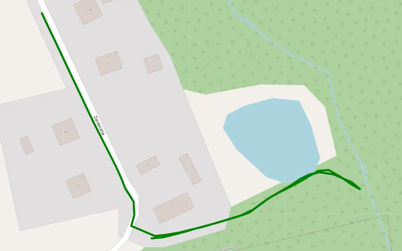
100% Offroad score
Difficult
155m Highest peak
Świnice
Offroad score100%
No known restrictions40%
Distance0.36 km
Highest peak155m
Offroad0.36 km
1 year ago
View route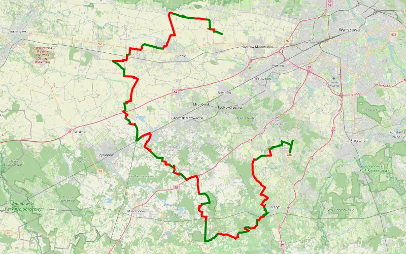
41% Offroad score
Moderate
211m Highest peak
Wolskie - Łazy
Offroad score41%
No known restrictions93%
Distance112.63 km
Highest peak211m
Offroad46.65 km
6 years ago
View route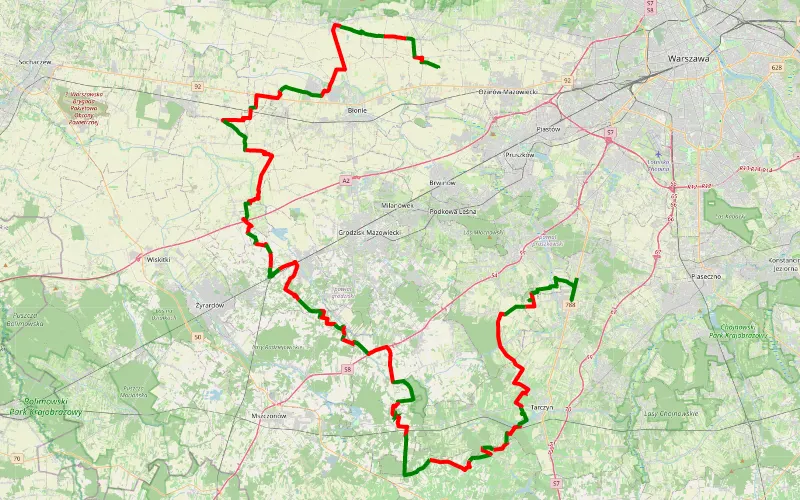
41% Offroad score
Moderate
203m Highest peak
Śladem wierzb 8.0
Offroad score41%
No known restrictions94%
Distance113.64 km
Highest peak203m
Offroad46.29 km
7 years ago
View route
21% Offroad score
Easy
286m Highest peak
Strzebielino - Sulistrowice
Offroad score21%
No known restrictions96%
Distance752.06 km
Highest peak286m
Offroad158.13 km
4 years ago
View route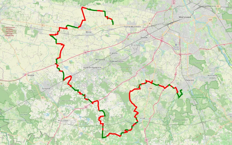
33% Offroad score
Easy
194m Highest peak
Trasa 8
Offroad score33%
No known restrictions94%
Distance132.01 km
Highest peak194m
Offroad43.41 km
6 years ago
View route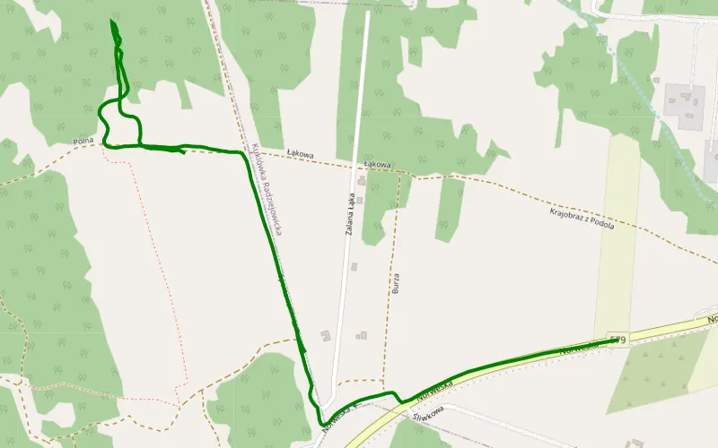
100% Offroad score
Difficult
139m Highest peak
Kuklówka Radziejowicka - Budy Józefowskie
Offroad score100%
No known restrictions39%
Distance0.81 km
Highest peak139m
Offroad0.81 km
6 years ago
View route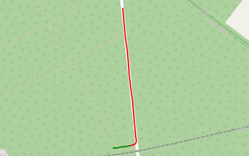
11% Offroad score
Easy
178m Highest peak
Piknik przy rzece
Offroad score11%
No known restrictions88%
Distance0.44 km
Highest peak178m
Offroad0.05 km
3 years ago
View route