



Routes
Węgrów County/ Masovian Voivodeship
Showing 23 routes // Page 7
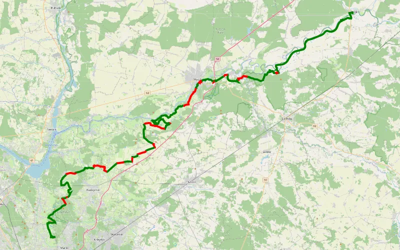
74% Offroad score
Difficult
107m Highest peak
Brok - Augustów
Offroad score74%
No known restrictions95%
Distance104.73 km
Highest peak107m
Offroad77.44 km
7 months ago
View route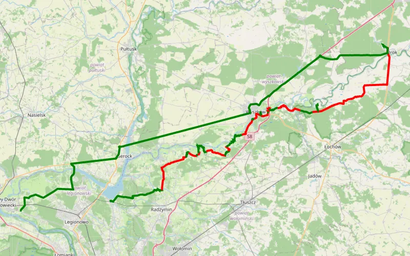
34% Offroad score
Easy
110m Highest peak
Marek Piórek nad Bugiem
Offroad score34%
No known restrictions92%
Distance90.22 km
Highest peak110m
Offroad30.81 km
5 years ago
View route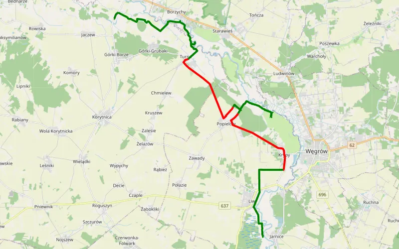
65% Offroad score
Moderate
134m Highest peak
Paplin - Jarnice
Offroad score65%
No known restrictions90%
Distance28.12 km
Highest peak134m
Offroad18.33 km
4 years ago
View route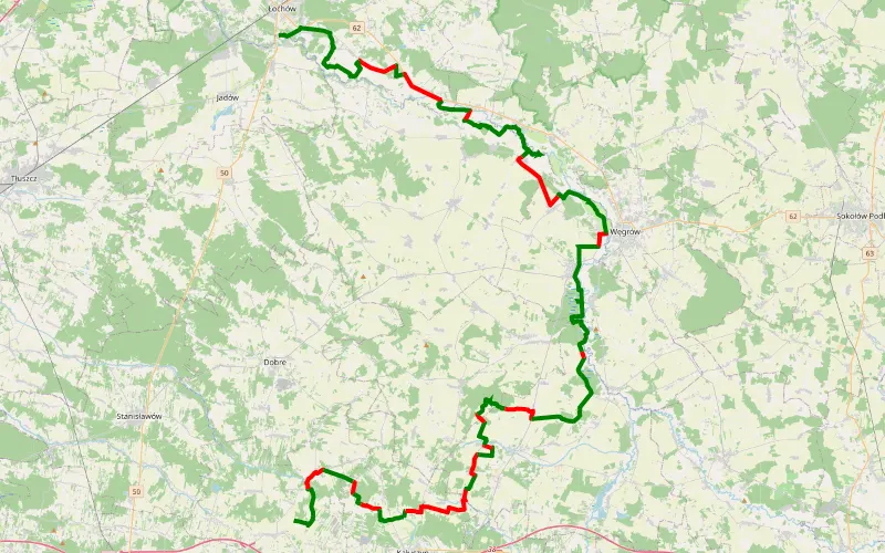
67% Offroad score
Moderate
209m Highest peak
Śladem wierzb nr 20
Offroad score67%
No known restrictions95%
Distance86.87 km
Highest peak209m
Offroad57.77 km
3 years ago
View route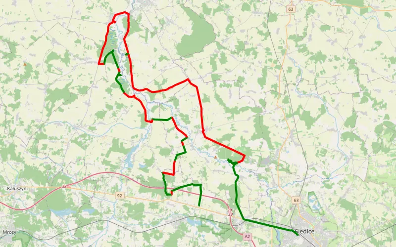
30% Offroad score
Easy
162m Highest peak
Broszków - Tymianka
Offroad score30%
No known restrictions96%
Distance71.17 km
Highest peak162m
Offroad21.33 km
7 years ago
View route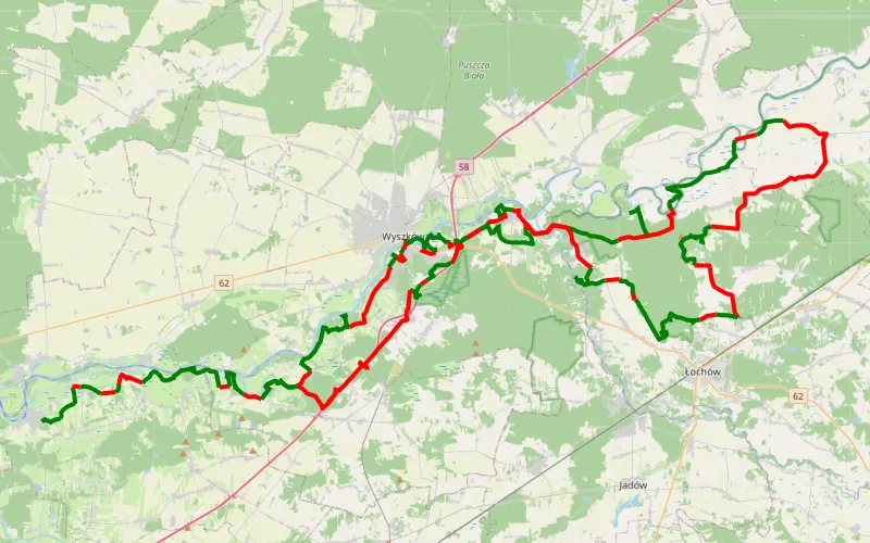
55% Offroad score
Moderate
87m Highest peak
Kuligów - Słopsk
Offroad score55%
No known restrictions91%
Distance136.71 km
Highest peak87m
Offroad75.74 km
6 years ago
View route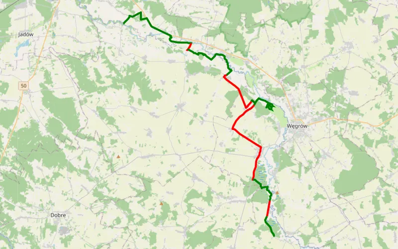
59% Offroad score
Moderate
160m Highest peak
Karczewizna - Wyszków
Offroad score59%
No known restrictions91%
Distance40.99 km
Highest peak160m
Offroad24.01 km
4 years ago
View route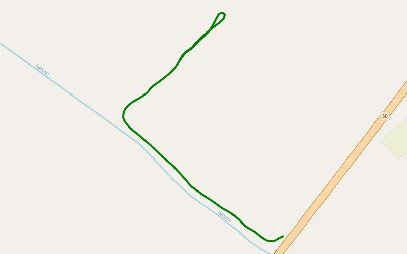
100% Offroad score
Difficult
105m Highest peak
Zieleniec
Offroad score100%
No known restrictions99%
Distance0.69 km
Highest peak105m
Offroad0.69 km
1 year ago
View route
45% Offroad score
Moderate
182m Highest peak
Kąty Czernickie - Liw
Offroad score45%
No known restrictions92%
Distance237.92 km
Highest peak182m
Offroad107.69 km
6 years ago
View route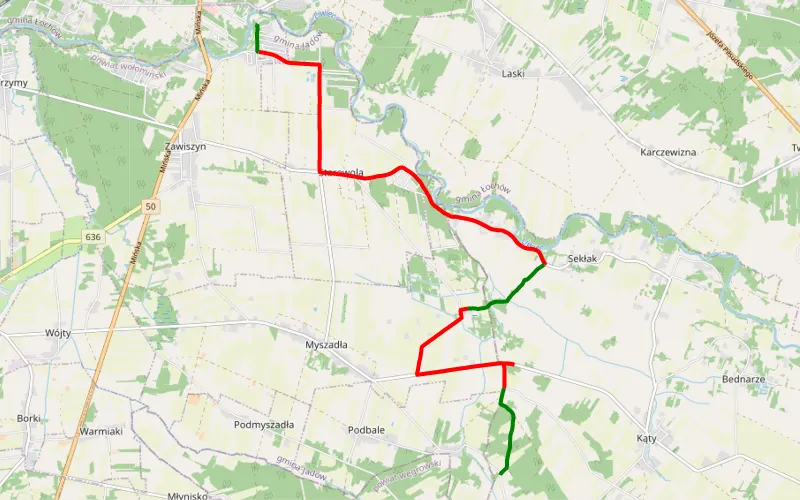
25% Offroad score
Easy
146m Highest peak
Łochów - Kupce
Offroad score25%
No known restrictions98%
Distance11.66 km
Highest peak146m
Offroad2.92 km
9 years ago
View route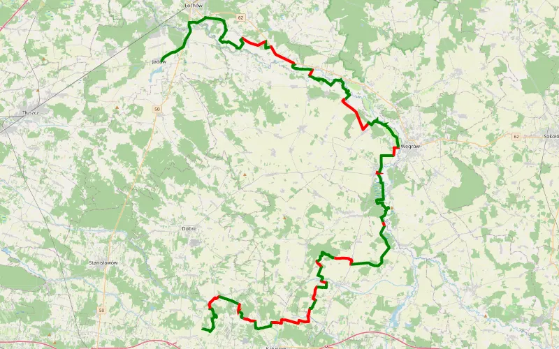
65% Offroad score
Moderate
200m Highest peak
Śladem Wierzb 20 Adam
Offroad score65%
No known restrictions93%
Distance88.94 km
Highest peak200m
Offroad57.98 km
4 years ago
View route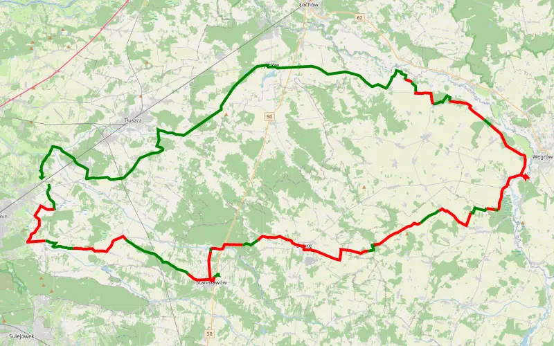
31% Offroad score
Easy
170m Highest peak
Dobczyn-Liw-Dobczyn
Offroad score31%
No known restrictions92%
Distance97.58 km
Highest peak170m
Offroad30.19 km
8 years ago
View route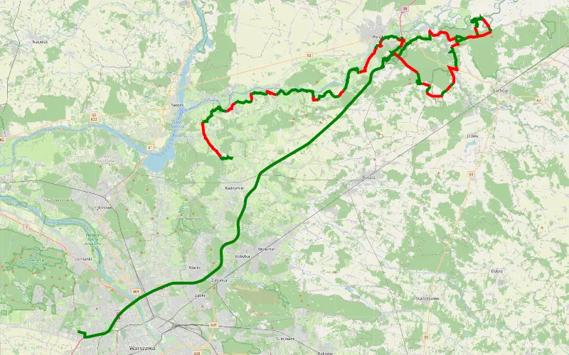
56% Offroad score
Moderate
107m Highest peak
Wypad na dwa patrole w stronę Wyszkowa
Offroad score56%
No known restrictions86%
Distance105.02 km
Highest peak107m
Offroad59.27 km
1 year ago
View route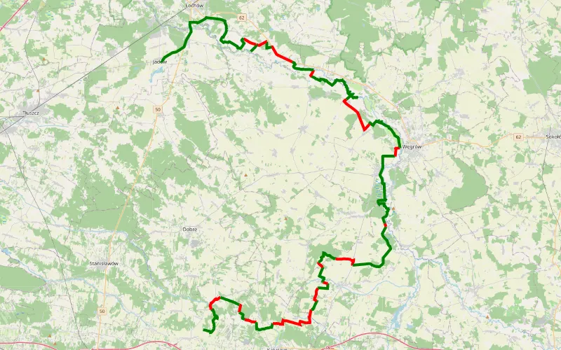
69% Offroad score
Moderate
202m Highest peak
ŚLADEM WIERZB 20.0
Offroad score69%
No known restrictions94%
Distance91.88 km
Highest peak202m
Offroad63.57 km
5 years ago
View route
11% Offroad score
Easy
155m Highest peak
Sieminowka
Offroad score11%
No known restrictions95%
Distance217.78 km
Highest peak155m
Offroad23.19 km
4 years ago
View route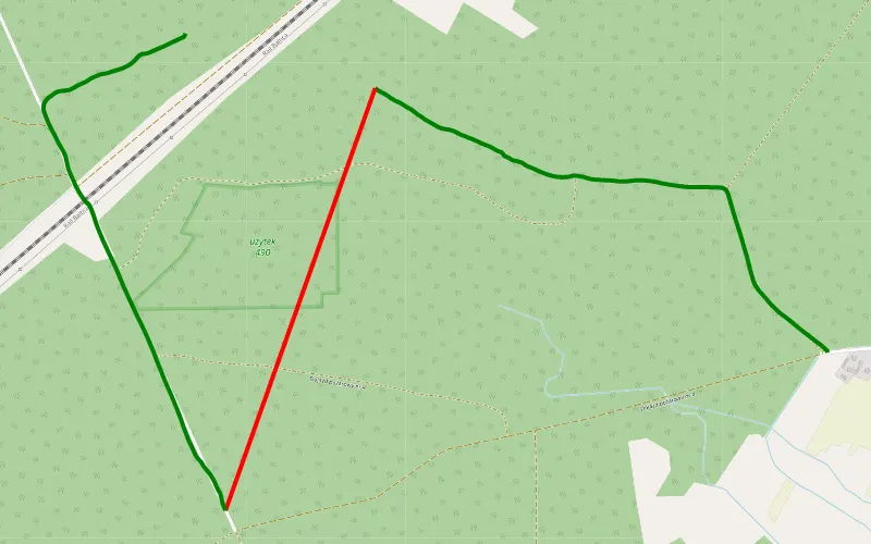
72% Offroad score
Difficult
172m Highest peak
Orzełek - Rybie
Offroad score72%
No known restrictions30%
Distance3.8 km
Highest peak172m
Offroad2.75 km
7 years ago
View route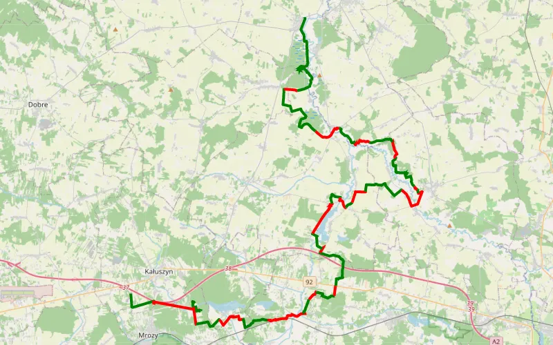
61% Offroad score
Moderate
194m Highest peak
Ryczołek - Liw
Offroad score61%
No known restrictions84%
Distance77.73 km
Highest peak194m
Offroad47.7 km
5 years ago
View route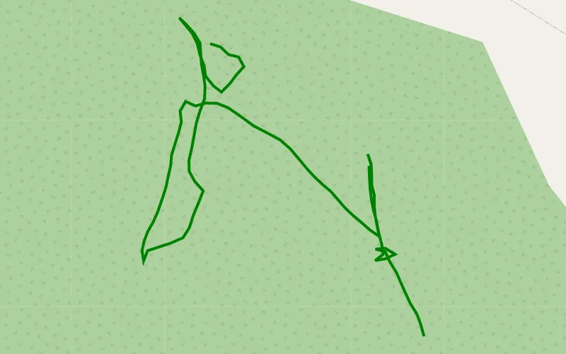
100% Offroad score
Difficult
109m Highest peak
Zieleniec
Offroad score100%
No known restrictions0%
Distance0.62 km
Highest peak109m
Offroad0.62 km
1 year ago
View route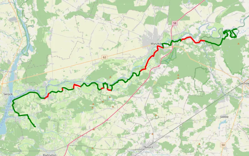
72% Offroad score
Difficult
102m Highest peak
Budy Stare - Ruda
Offroad score72%
No known restrictions89%
Distance62.81 km
Highest peak102m
Offroad45.08 km
7 years ago
View route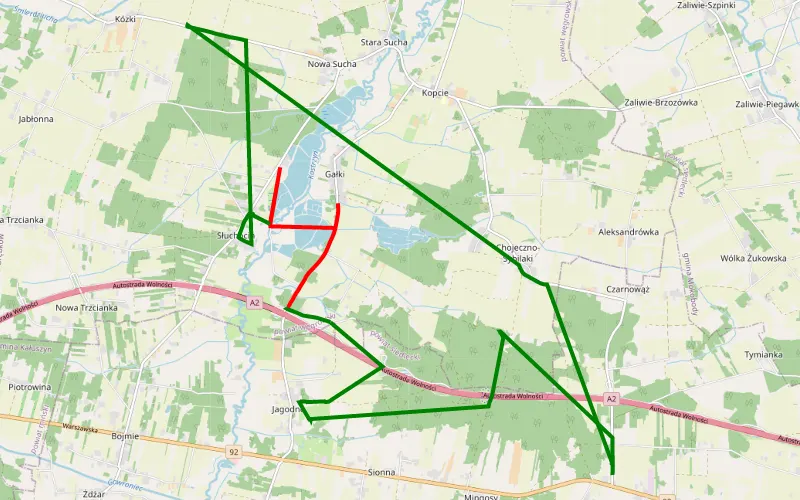
18% Offroad score
Easy
130m Highest peak
Polaki
Offroad score18%
No known restrictions59%
Distance6.04 km
Highest peak130m
Offroad1.12 km
6 years ago
View route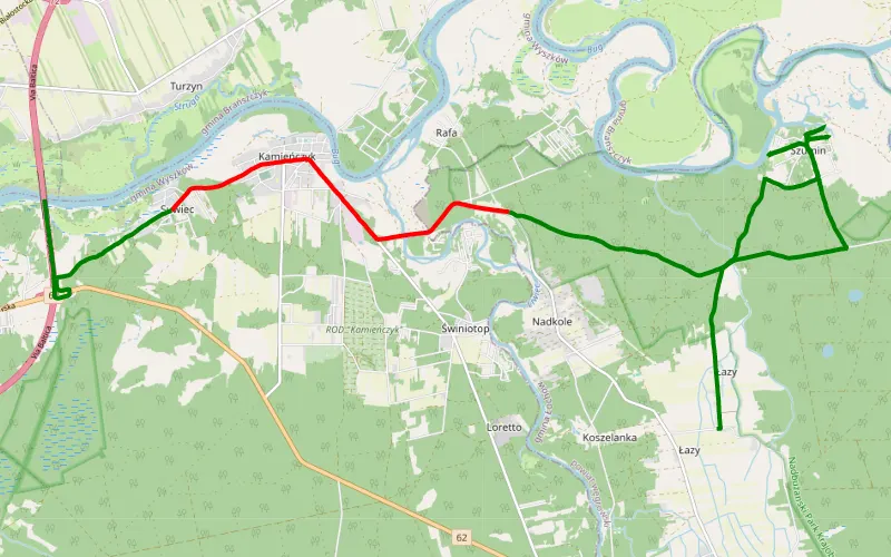
68% Offroad score
Moderate
93m Highest peak
Łazy - Skuszew
Offroad score68%
No known restrictions80%
Distance15.57 km
Highest peak93m
Offroad10.57 km
7 years ago
View route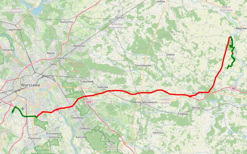
18% Offroad score
Easy
157m Highest peak
Podsusze - Raszyn
Offroad score18%
No known restrictions94%
Distance100.41 km
Highest peak157m
Offroad18.06 km
1 year ago
View route
17% Offroad score
Easy
149m Highest peak
Małopole - Kuligów
Offroad score17%
No known restrictions80%
Distance337.85 km
Highest peak149m
Offroad58.3 km
3 years ago
View route