



Routes
Przysucha County/ Masovian Voivodeship
Showing 24 routes
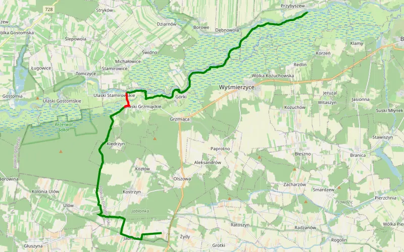
95% Offroad score
Difficult
185m Highest peak
Wojciechów - Przybyszew
Offroad score95%
No known restrictions93%
Distance22.51 km
Highest peak185m
Offroad21.49 km
1 year ago
View route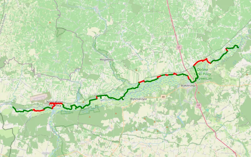
74% Offroad score
Difficult
162m Highest peak
Kobuz - Zator
Offroad score74%
No known restrictions98%
Distance68.03 km
Highest peak162m
Offroad50.63 km
1 year ago
View route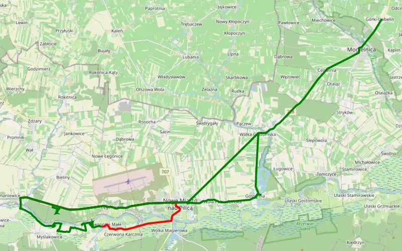
38% Offroad score
Easy
165m Highest peak
Górki-Izabelin - Wał
Offroad score38%
No known restrictions91%
Distance26.82 km
Highest peak165m
Offroad10.2 km
3 years ago
View route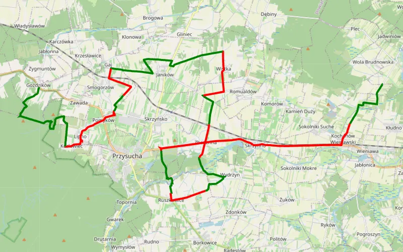
52% Offroad score
Moderate
284m Highest peak
Wola Brudnowska - Goździków
Offroad score52%
No known restrictions92%
Distance47.92 km
Highest peak284m
Offroad24.79 km
4 years ago
View route
56% Offroad score
Moderate
325m Highest peak
Borkowice - Gielniów
Offroad score56%
No known restrictions81%
Distance54.71 km
Highest peak325m
Offroad30.86 km
2 years ago
View route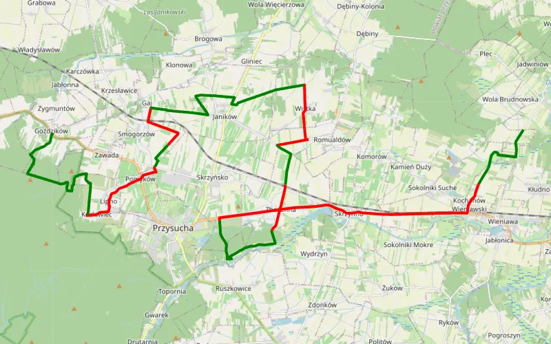
52% Offroad score
Moderate
284m Highest peak
Wola Brudnowska - Goździków
Offroad score52%
No known restrictions91%
Distance43.7 km
Highest peak284m
Offroad22.59 km
3 years ago
View route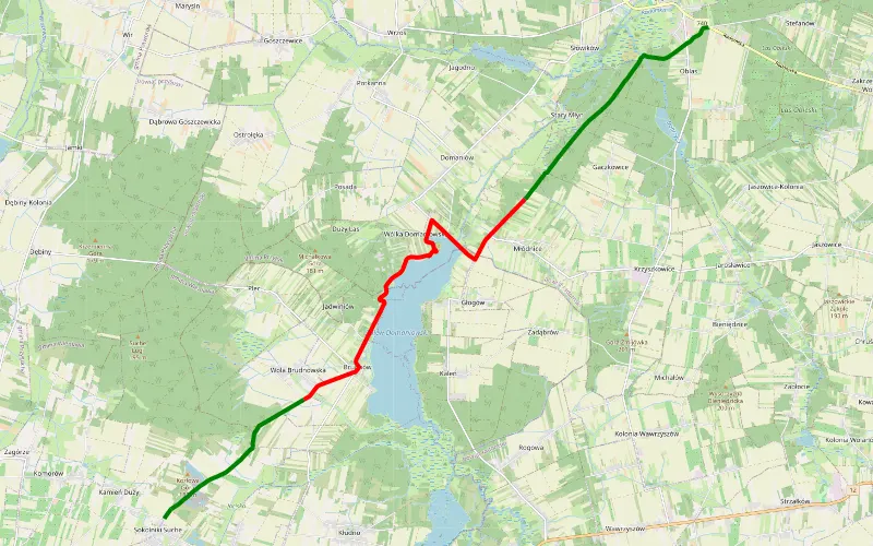
52% Offroad score
Moderate
181m Highest peak
Sokolniki Suche - Przytyk
Offroad score52%
No known restrictions95%
Distance16.91 km
Highest peak181m
Offroad8.83 km
3 years ago
View route
39% Offroad score
Easy
158m Highest peak
Myślakowice - Roszkowa Wola
Offroad score39%
No known restrictions94%
Distance24 km
Highest peak158m
Offroad9.43 km
4 years ago
View route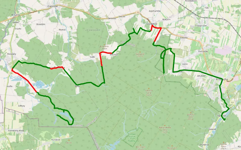
77% Offroad score
Difficult
353m Highest peak
Topornia - Kurzacze
Offroad score77%
No known restrictions57%
Distance29.78 km
Highest peak353m
Offroad23.02 km
4 years ago
View route
60% Offroad score
Moderate
268m Highest peak
Biała Rawska - Główczyn
Offroad score60%
No known restrictions96%
Distance85.14 km
Highest peak268m
Offroad51.19 km
4 years ago
View route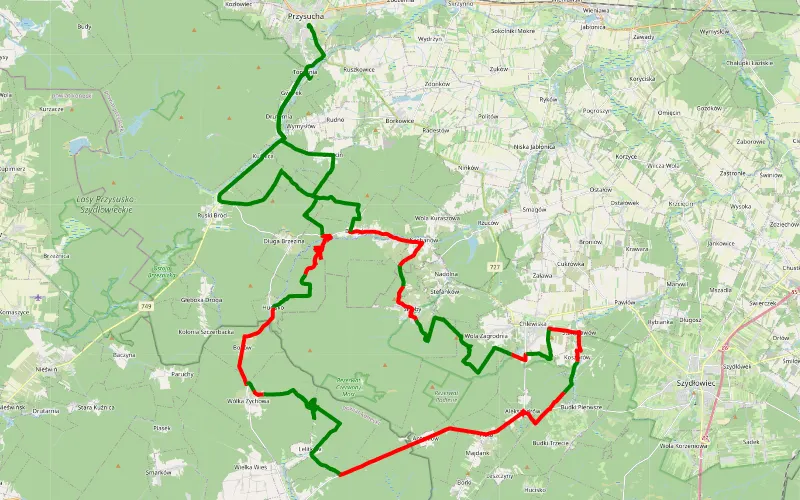
55% Offroad score
Moderate
376m Highest peak
Topornia - Przysucha
Offroad score55%
No known restrictions74%
Distance65.83 km
Highest peak376m
Offroad36.15 km
4 years ago
View route
51% Offroad score
Moderate
222m Highest peak
Łęgonice - Ossa
Offroad score51%
No known restrictions87%
Distance81.35 km
Highest peak222m
Offroad41.77 km
1 year ago
View route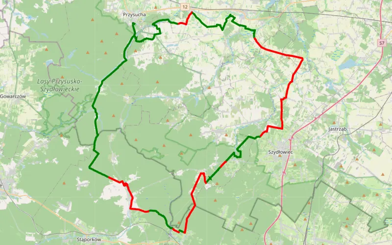
49% Offroad score
Moderate
354m Highest peak
Topornia
Offroad score49%
No known restrictions87%
Distance75.32 km
Highest peak354m
Offroad36.63 km
3 years ago
View route
55% Offroad score
Moderate
180m Highest peak
Mazowsze z P
Offroad score55%
No known restrictions95%
Distance77.79 km
Highest peak180m
Offroad42.8 km
5 years ago
View route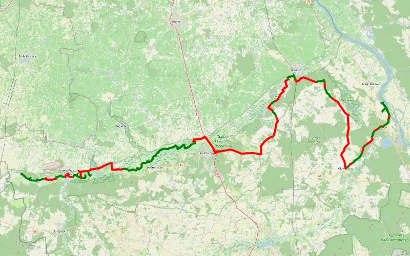
43% Offroad score
Moderate
160m Highest peak
Kobuz - Przydworzyce trasa sylwestrowa
Offroad score43%
No known restrictions97%
Distance128.57 km
Highest peak160m
Offroad54.74 km
2 years ago
View route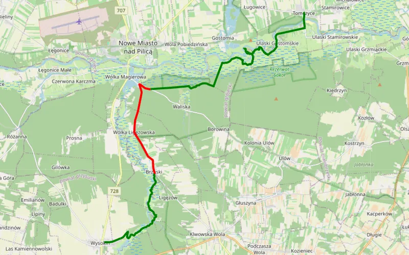
76% Offroad score
Difficult
159m Highest peak
Ceteń - Tomczyce
Offroad score76%
No known restrictions77%
Distance22.49 km
Highest peak159m
Offroad17.2 km
23 days ago
View route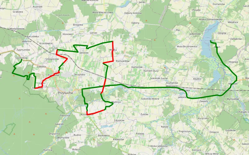
64% Offroad score
Moderate
294m Highest peak
2020.08.16 - Lasy i rzeczka
Offroad score64%
No known restrictions89%
Distance34.51 km
Highest peak294m
Offroad22.11 km
6 years ago
View route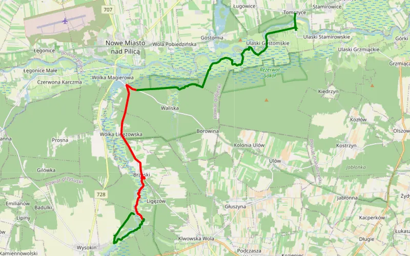
62% Offroad score
Moderate
160m Highest peak
Tomczyce - Brzeski
Offroad score62%
No known restrictions75%
Distance20.96 km
Highest peak160m
Offroad12.99 km
15 days ago
View route
45% Offroad score
Moderate
178m Highest peak
Kobuz - Mysiakowiec
Offroad score45%
No known restrictions95%
Distance29.39 km
Highest peak178m
Offroad13.19 km
7 years ago
View route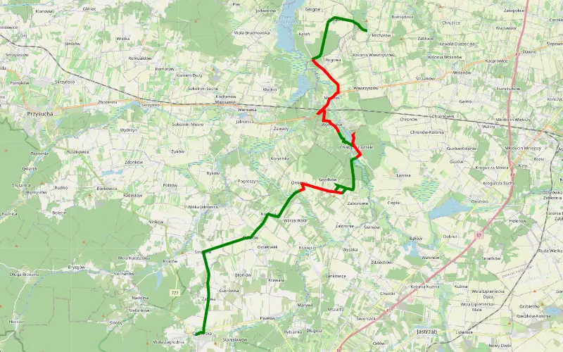
47% Offroad score
Moderate
193m Highest peak
Żmijków - Chlewiska
Offroad score47%
No known restrictions90%
Distance21.82 km
Highest peak193m
Offroad10.25 km
9 years ago
View route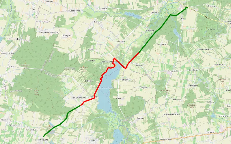
52% Offroad score
Moderate
179m Highest peak
Sokolniki Suche - Przytyk
Offroad score52%
No known restrictions93%
Distance16.89 km
Highest peak179m
Offroad8.86 km
6 years ago
View route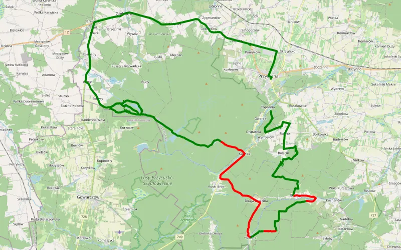
67% Offroad score
Moderate
304m Highest peak
Topornia - Przysucha
Offroad score67%
No known restrictions45%
Distance44.7 km
Highest peak304m
Offroad29.95 km
3 years ago
View route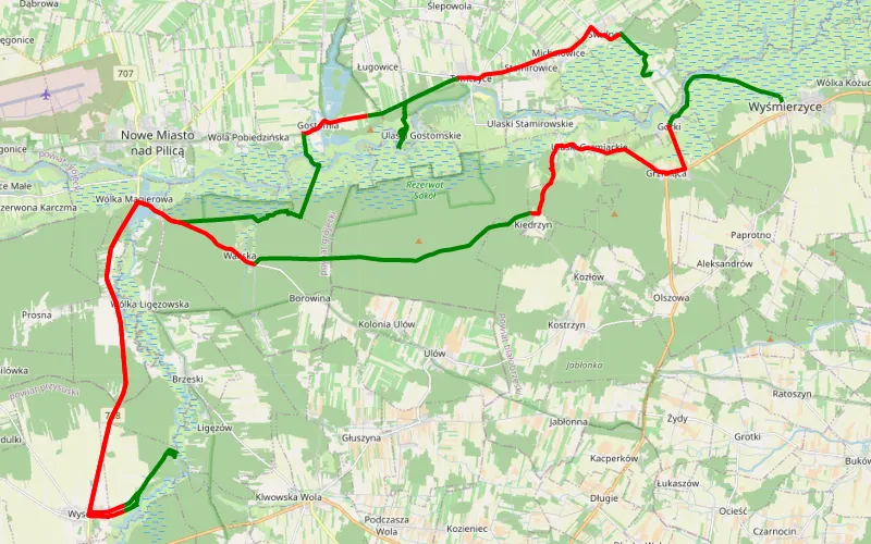
45% Offroad score
Moderate
175m Highest peak
Świdno - Wyśmierzyce
Offroad score45%
No known restrictions83%
Distance66.72 km
Highest peak175m
Offroad29.87 km
2 years ago
View route
36% Offroad score
Easy
318m Highest peak
Sielpia Wielka - Białogórne
Offroad score36%
No known restrictions95%
Distance188.15 km
Highest peak318m
Offroad66.91 km
6 years ago
View route