



Routes
Lipsko County/ Masovian Voivodeship
Showing 24 routes // Page 2

16% Offroad score
Easy
212m Highest peak
Topienie Marzanny
Offroad score16%
No known restrictions94%
Distance78.33 km
Highest peak212m
Offroad12.9 km
1 year ago
View route
69% Offroad score
Moderate
213m Highest peak
Bałtów 6 Bałtów
Offroad score69%
No known restrictions90%
Distance47.84 km
Highest peak213m
Offroad32.83 km
3 years ago
View route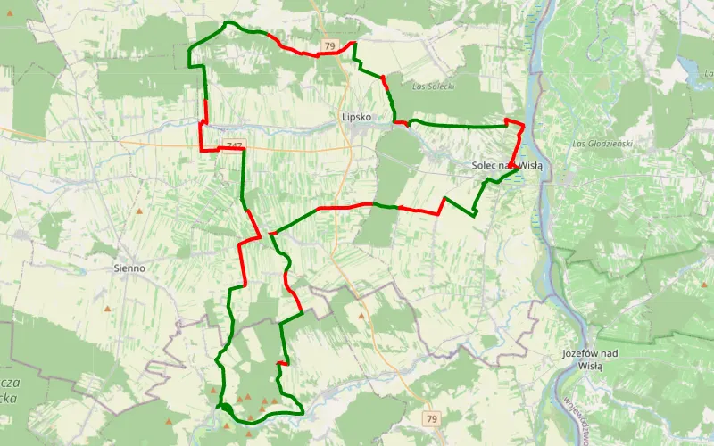
59% Offroad score
Moderate
215m Highest peak
Sołec 4x4 001
Offroad score59%
No known restrictions98%
Distance80 km
Highest peak215m
Offroad47.52 km
6 years ago
View route
67% Offroad score
Moderate
219m Highest peak
Rudka Bałtowska - Aleksandrów
Offroad score67%
No known restrictions86%
Distance64.45 km
Highest peak219m
Offroad42.96 km
4 years ago
View route
51% Offroad score
Moderate
257m Highest peak
Kuba
Offroad score51%
No known restrictions80%
Distance76.56 km
Highest peak257m
Offroad38.94 km
1 year ago
View route
14% Offroad score
Easy
219m Highest peak
Malenice - Męcmierz
Offroad score14%
No known restrictions97%
Distance76.36 km
Highest peak219m
Offroad10.77 km
1 year ago
View route
70% Offroad score
Difficult
226m Highest peak
Pętkowice - Krzemionki
Offroad score70%
No known restrictions75%
Distance19.08 km
Highest peak226m
Offroad13.37 km
2 years ago
View route
56% Offroad score
Moderate
263m Highest peak
Gutwin - Bałtów
Offroad score56%
No known restrictions79%
Distance19.18 km
Highest peak263m
Offroad10.7 km
2 years ago
View route
72% Offroad score
Difficult
205m Highest peak
Bałtów
Offroad score72%
No known restrictions71%
Distance42.32 km
Highest peak205m
Offroad30.32 km
5 years ago
View route
67% Offroad score
Moderate
220m Highest peak
Bałtów - Czekarzewice Drugie
Offroad score67%
No known restrictions88%
Distance49.13 km
Highest peak220m
Offroad32.84 km
5 years ago
View route
32% Offroad score
Easy
194m Highest peak
Kazimierówka - Garwolin
Offroad score32%
No known restrictions91%
Distance87.17 km
Highest peak194m
Offroad27.96 km
5 years ago
View route
13% Offroad score
Easy
244m Highest peak
Nowe - Góry
Offroad score13%
No known restrictions99%
Distance144.21 km
Highest peak244m
Offroad18.15 km
3 years ago
View route
64% Offroad score
Moderate
316m Highest peak
Duża pętla Bałtow
Offroad score64%
No known restrictions92%
Distance56.81 km
Highest peak316m
Offroad36.59 km
5 years ago
View route
59% Offroad score
Moderate
222m Highest peak
Góry - Wólka Bałtowska
Offroad score59%
No known restrictions90%
Distance58.55 km
Highest peak222m
Offroad34.47 km
5 years ago
View route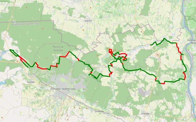
67% Offroad score
Moderate
269m Highest peak
Świętokrzyskie Dzień 5
Offroad score67%
No known restrictions84%
Distance106.62 km
Highest peak269m
Offroad71.01 km
4 years ago
View route
53% Offroad score
Moderate
222m Highest peak
Ponik - Bałtów
Offroad score53%
No known restrictions84%
Distance37.67 km
Highest peak222m
Offroad20.13 km
5 years ago
View route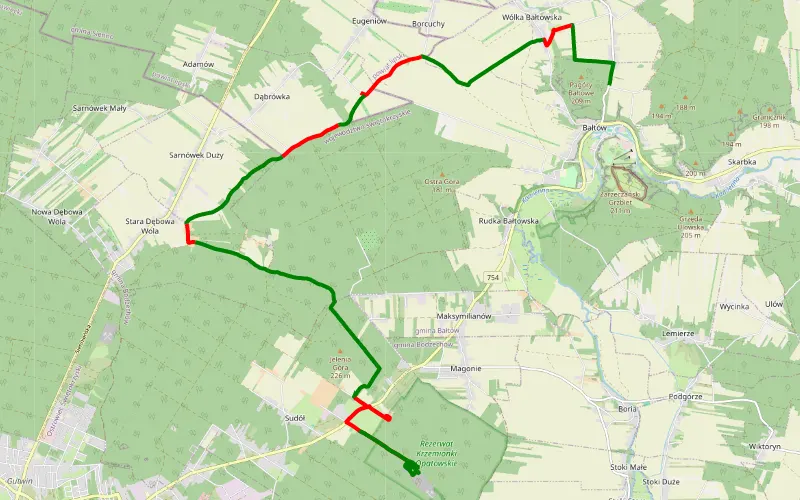
68% Offroad score
Moderate
224m Highest peak
Bałtów, Kucyki, Prolog
Offroad score68%
No known restrictions75%
Distance21.02 km
Highest peak224m
Offroad14.21 km
5 years ago
View route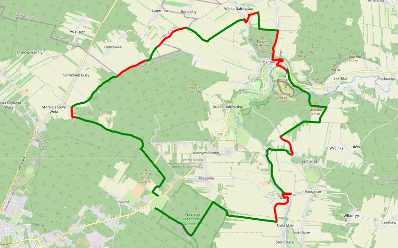
74% Offroad score
Difficult
218m Highest peak
Przez Krainę Krzemienia - start Sudół
Offroad score74%
No known restrictions79%
Distance33.7 km
Highest peak218m
Offroad24.9 km
5 years ago
View route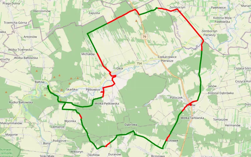
63% Offroad score
Moderate
211m Highest peak
Dolne dorzecze Kamiennej
Offroad score63%
No known restrictions89%
Distance48.31 km
Highest peak211m
Offroad30.3 km
5 years ago
View route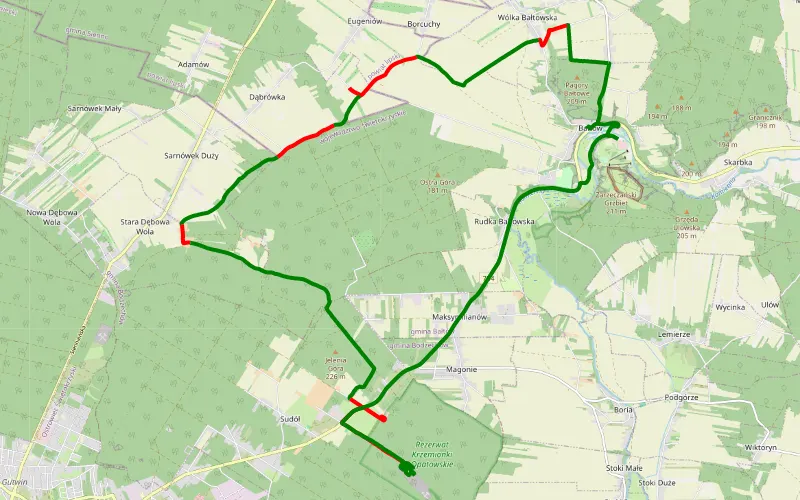
67% Offroad score
Moderate
217m Highest peak
Bałtów kamieniołom nr 3
Offroad score67%
No known restrictions75%
Distance21.44 km
Highest peak217m
Offroad14.36 km
5 years ago
View route
40% Offroad score
Moderate
216m Highest peak
Skowieszynek - Sandomierz
Offroad score40%
No known restrictions98%
Distance87.11 km
Highest peak216m
Offroad34.56 km
4 years ago
View route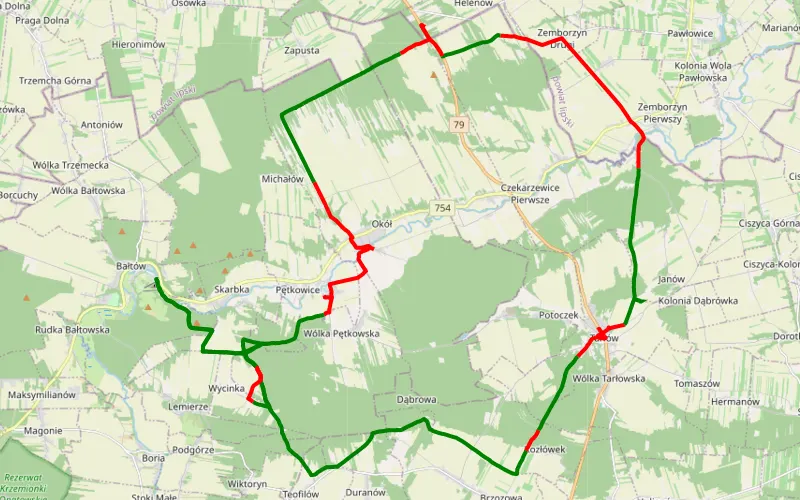
67% Offroad score
Moderate
204m Highest peak
Bałtów nr 6 dorzecze Kamiennej
Offroad score67%
No known restrictions86%
Distance56.29 km
Highest peak204m
Offroad37.62 km
5 years ago
View route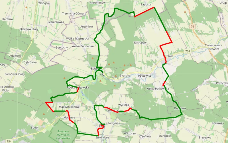
69% Offroad score
Moderate
216m Highest peak
01-CZE-20
Offroad score69%
No known restrictions90%
Distance44.67 km
Highest peak216m
Offroad30.97 km
6 years ago
View route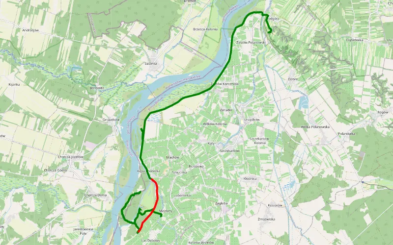
88% Offroad score
Difficult
185m Highest peak
Las Dębowy - Podgórz
Offroad score88%
No known restrictions94%
Distance21.06 km
Highest peak185m
Offroad18.58 km
6 years ago
View route