



Routes
Garwolin County/ Masovian Voivodeship
Showing 24 routes
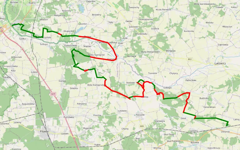
45% Offroad score
Moderate
177m Highest peak
Kołbiel - Chromin
Offroad score45%
No known restrictions99%
Distance46.69 km
Highest peak177m
Offroad21.06 km
1 day ago
View route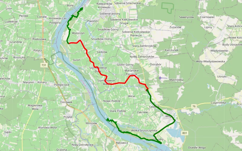
51% Offroad score
Moderate
107m Highest peak
Brzumin - Wola Celejowska
Offroad score51%
No known restrictions99%
Distance36.09 km
Highest peak107m
Offroad18.38 km
2 months ago
View route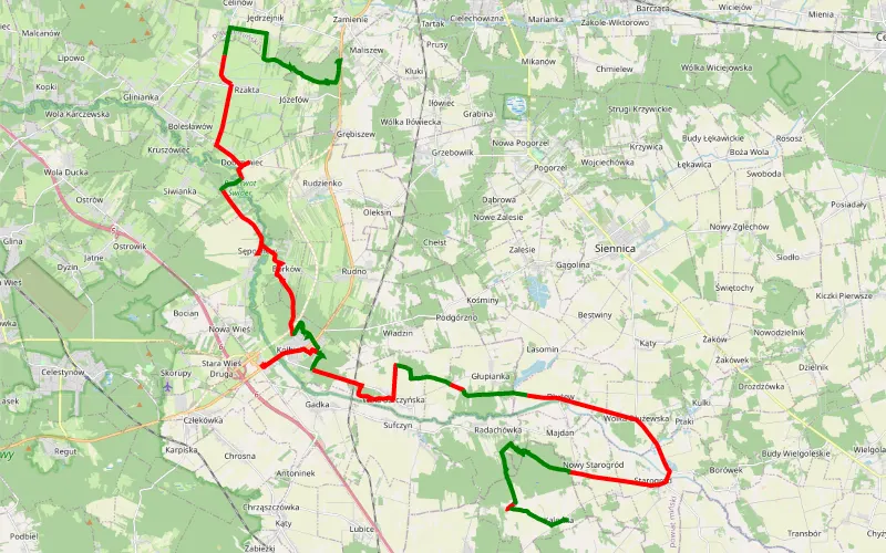
40% Offroad score
Moderate
172m Highest peak
Maliszew - Kalonka
Offroad score40%
No known restrictions97%
Distance47.36 km
Highest peak172m
Offroad19.14 km
23 days ago
View route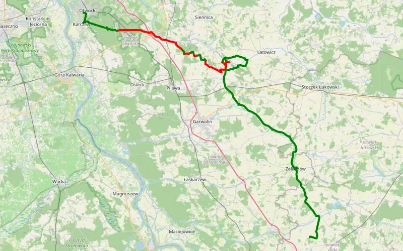
29% Offroad score
Easy
197m Highest peak
Otwock - Borki
Offroad score29%
No known restrictions97%
Distance41.7 km
Highest peak197m
Offroad12.24 km
15 days ago
View route
76% Offroad score
Difficult
165m Highest peak
Quad
Offroad score76%
No known restrictions99%
Distance21.6 km
Highest peak165m
Offroad16.31 km
6 months ago
View route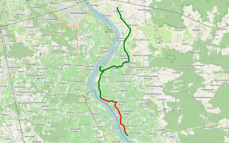
58% Offroad score
Moderate
102m Highest peak
Dziecinów - Tatarczysko
Offroad score58%
No known restrictions99%
Distance13.08 km
Highest peak102m
Offroad7.53 km
1 month ago
View route
65% Offroad score
Moderate
127m Highest peak
Piotrowice - Rudnik
Offroad score65%
No known restrictions99%
Distance30.92 km
Highest peak127m
Offroad20.24 km
3 years ago
View route
65% Offroad score
Moderate
189m Highest peak
Lucin Zawady
Offroad score65%
No known restrictions98%
Distance51.44 km
Highest peak189m
Offroad33.28 km
7 months ago
View route
40% Offroad score
Moderate
208m Highest peak
Elżbietów - Łąki
Offroad score40%
No known restrictions99%
Distance36.7 km
Highest peak208m
Offroad14.75 km
1 year ago
View route
69% Offroad score
Moderate
176m Highest peak
Jagodne - Kołbiel-Krystyna-Wola Rębkowska
Offroad score69%
No known restrictions92%
Distance54.61 km
Highest peak176m
Offroad37.48 km
6 months ago
View route
35% Offroad score
Easy
113m Highest peak
Kępa Gliniecka - Osiedle Wilga
Offroad score35%
No known restrictions99%
Distance34.84 km
Highest peak113m
Offroad12.24 km
10 months ago
View route
64% Offroad score
Moderate
209m Highest peak
Mingosy - Wola Miastkowska
Offroad score64%
No known restrictions98%
Distance60.05 km
Highest peak209m
Offroad38.27 km
1 year ago
View route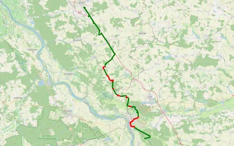
65% Offroad score
Moderate
186m Highest peak
Zawady - Studzienice
Offroad score65%
No known restrictions72%
Distance44.95 km
Highest peak186m
Offroad29.02 km
29 days ago
View route
57% Offroad score
Moderate
156m Highest peak
Trasa zlotu grupy grand vitara polska
Offroad score57%
No known restrictions98%
Distance37.99 km
Highest peak156m
Offroad21.66 km
3 years ago
View route
66% Offroad score
Moderate
121m Highest peak
Nadwislanska
Offroad score66%
No known restrictions98%
Distance31.15 km
Highest peak121m
Offroad20.64 km
1 year ago
View route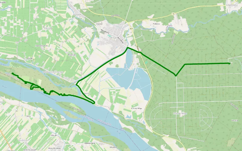
100% Offroad score
Difficult
105m Highest peak
Holendry - Komisja
Offroad score100%
No known restrictions99%
Distance7.9 km
Highest peak105m
Offroad7.9 km
2 years ago
View route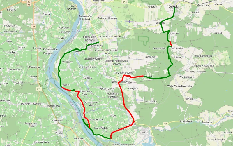
54% Offroad score
Moderate
123m Highest peak
Trasa
Offroad score54%
No known restrictions99%
Distance36.39 km
Highest peak123m
Offroad19.61 km
1 year ago
View route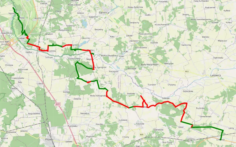
43% Offroad score
Moderate
168m Highest peak
Sępochów - Chromin
Offroad score43%
No known restrictions98%
Distance44.83 km
Highest peak168m
Offroad19.31 km
3 years ago
View route
100% Offroad score
Difficult
103m Highest peak
Wilga
Offroad score100%
No known restrictions99%
Distance7.14 km
Highest peak103m
Offroad7.14 km
2 years ago
View route
64% Offroad score
Moderate
126m Highest peak
Piotrowice - Czarnówiec
Offroad score64%
No known restrictions99%
Distance27.51 km
Highest peak126m
Offroad17.47 km
1 year ago
View route
55% Offroad score
Moderate
169m Highest peak
Lubice - Sępochów
Offroad score55%
No known restrictions99%
Distance58.33 km
Highest peak169m
Offroad31.92 km
1 year ago
View route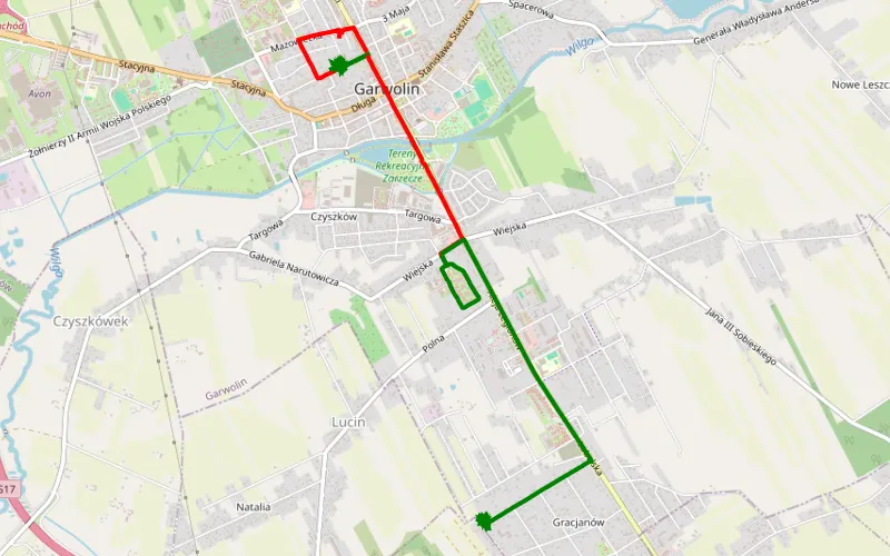
74% Offroad score
Difficult
133m Highest peak
Gg
Offroad score74%
No known restrictions99%
Distance9.33 km
Highest peak133m
Offroad6.92 km
6 months ago
View route
70% Offroad score
Difficult
192m Highest peak
Władzin - Górzno
Offroad score70%
No known restrictions95%
Distance28.19 km
Highest peak192m
Offroad19.79 km
3 years ago
View route
61% Offroad score
Moderate
199m Highest peak
Przejażdżka 1
Offroad score61%
No known restrictions94%
Distance66.66 km
Highest peak199m
Offroad40.63 km
1 year ago
View route