



Routes
Tatra County/ Lesser Poland Voivodeship
Showing 24 routes // Page 5

73% Offroad score
Difficult
1130m Highest peak
Chochołów granica Państawa - lasy witowskie wzdluż granicy słowackiej - Płazówka - Zakopane
Offroad score73%
No known restrictions98%
Distance16.94 km
Highest peak1,130m
Offroad12.35 km
7 years ago
View route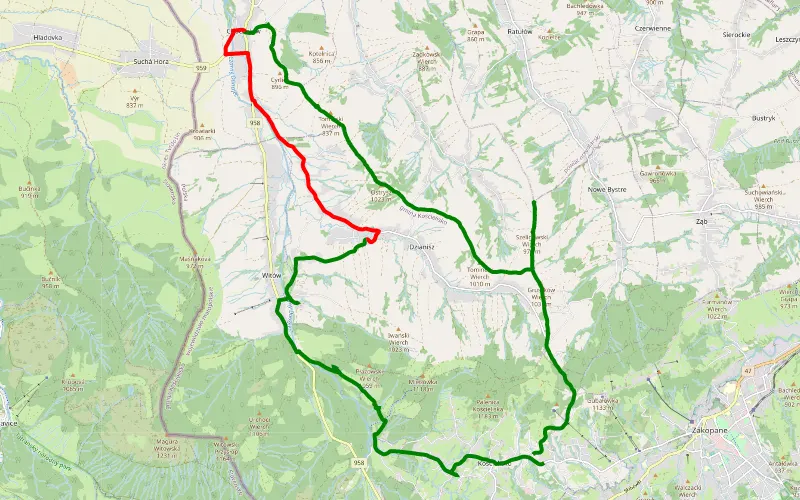
60% Offroad score
Moderate
1012m Highest peak
Kościelisko- Ostrysz-Cyrlica-Płazówka
Offroad score60%
No known restrictions99%
Distance16.94 km
Highest peak1,012m
Offroad10.15 km
8 years ago
View route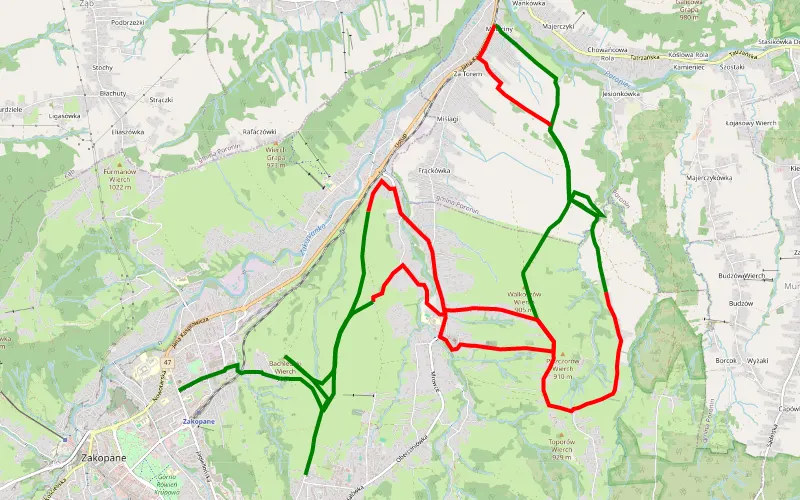
54% Offroad score
Moderate
910m Highest peak
Zakopane - Pardałówka/Olcza/Poronin/Zoniówka/Zakopane
Offroad score54%
No known restrictions99%
Distance20.91 km
Highest peak910m
Offroad11.27 km
9 years ago
View route
35% Offroad score
Easy
983m Highest peak
Tylmanowa - Stasikówka
Offroad score35%
No known restrictions97%
Distance73.66 km
Highest peak983m
Offroad26.07 km
5 years ago
View route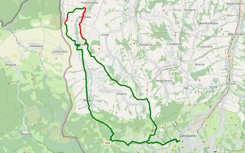
77% Offroad score
Difficult
1023m Highest peak
Zakopane - Płazówka
Offroad score77%
No known restrictions99%
Distance18.71 km
Highest peak1,023m
Offroad14.45 km
7 years ago
View route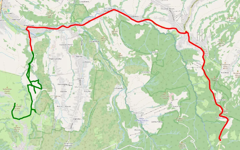
15% Offroad score
Easy
1146m Highest peak
Hrube Niżne
Offroad score15%
No known restrictions99%
Distance28.99 km
Highest peak1,146m
Offroad4.41 km
4 years ago
View route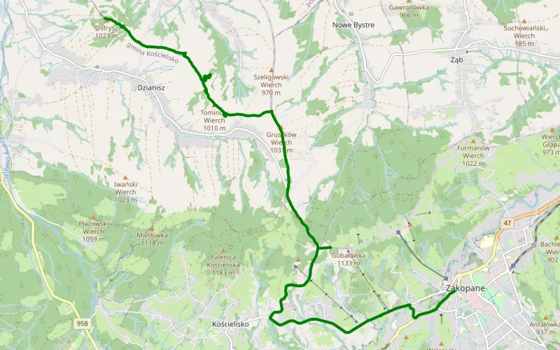
100% Offroad score
Difficult
1015m Highest peak
Zakopane - Dzianisz
Offroad score100%
No known restrictions99%
Distance4.82 km
Highest peak1,015m
Offroad4.82 km
7 years ago
View route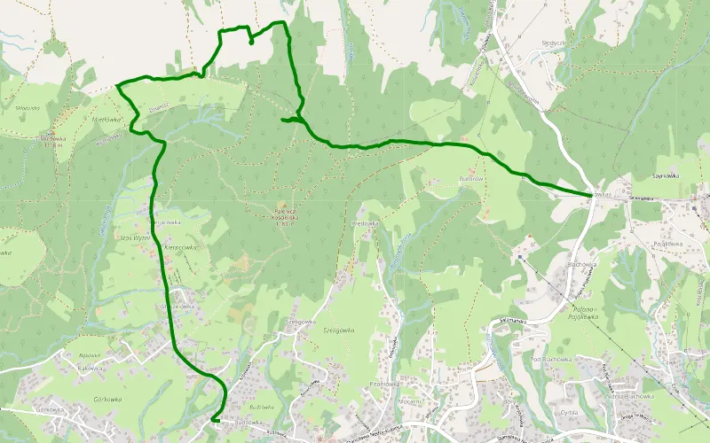
100% Offroad score
Difficult
1157m Highest peak
Słodyczki - Kościelisko
Offroad score100%
No known restrictions99%
Distance5.13 km
Highest peak1,157m
Offroad5.13 km
7 years ago
View route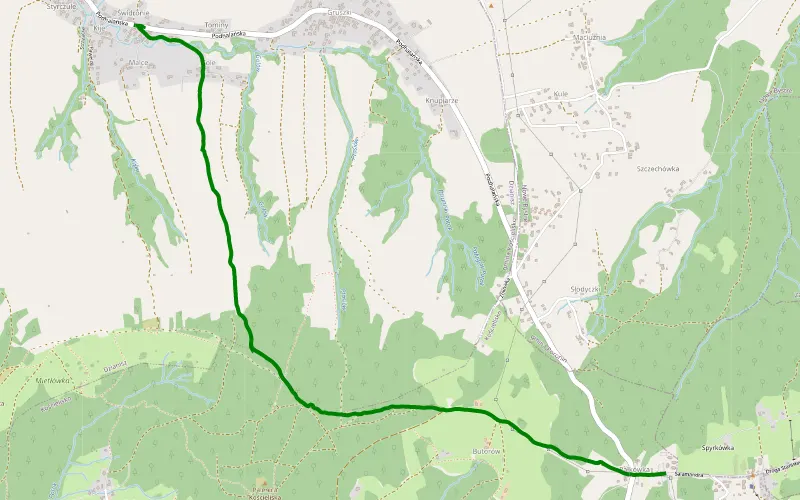
100% Offroad score
Difficult
1172m Highest peak
Słodyczki - Dzianisz
Offroad score100%
No known restrictions99%
Distance4.13 km
Highest peak1,172m
Offroad4.13 km
5 years ago
View route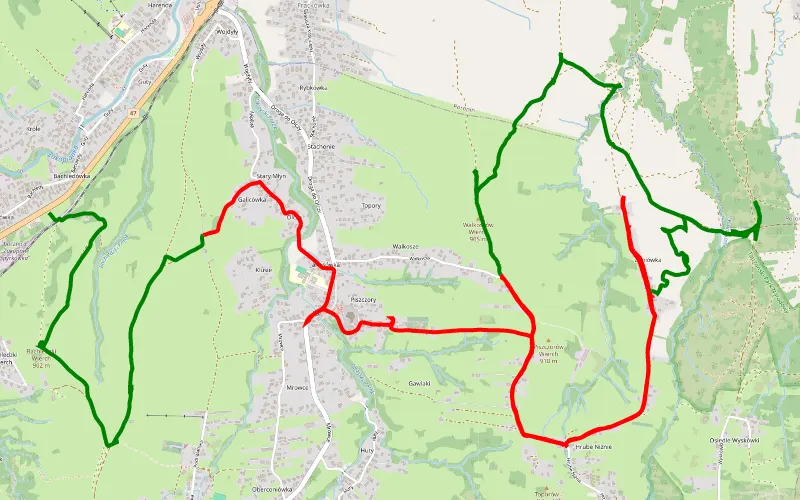
48% Offroad score
Moderate
904m Highest peak
Olcza - Hrube Niżne
Offroad score48%
No known restrictions99%
Distance18.27 km
Highest peak904m
Offroad8.75 km
7 years ago
View route
31% Offroad score
Easy
998m Highest peak
Pawliki - Trybsz
Offroad score31%
No known restrictions99%
Distance38.99 km
Highest peak998m
Offroad12.24 km
7 years ago
View route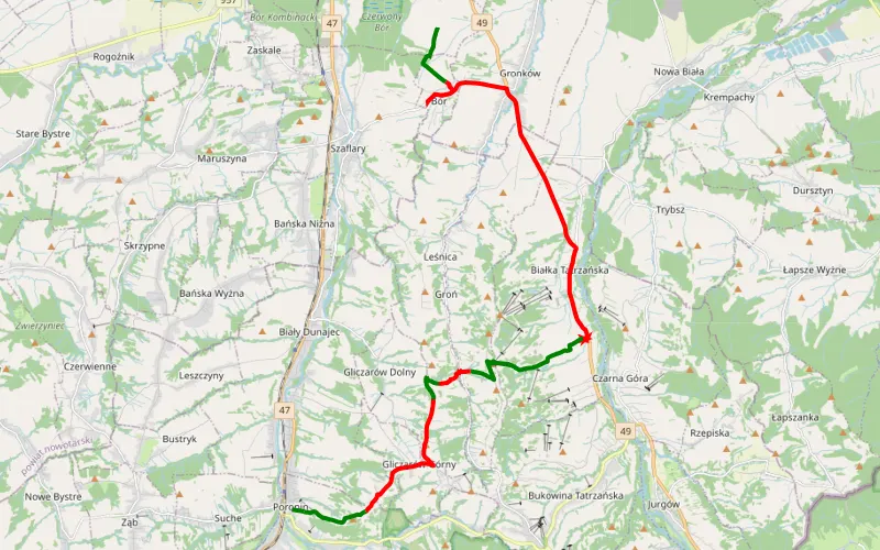
35% Offroad score
Easy
973m Highest peak
Lotnisko Nowy Targ-Gronków-Białka Tatrzańska-Kotelnica Białczańska-Gliczarów-Stołowe-Galicowa Grapa -Poronin
Offroad score35%
No known restrictions98%
Distance25.52 km
Highest peak973m
Offroad8.85 km
7 years ago
View route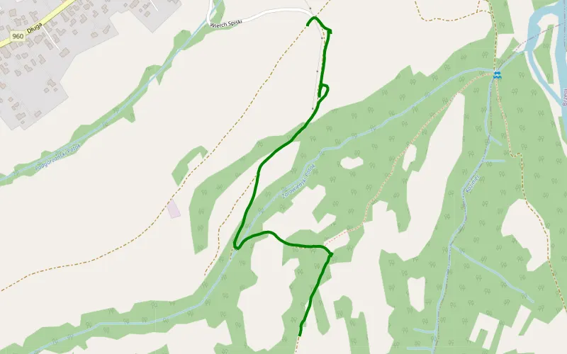
100% Offroad score
Difficult
876m Highest peak
Bukowina Tatrzańska
Offroad score100%
No known restrictions99%
Distance1.38 km
Highest peak876m
Offroad1.38 km
2 years ago
View route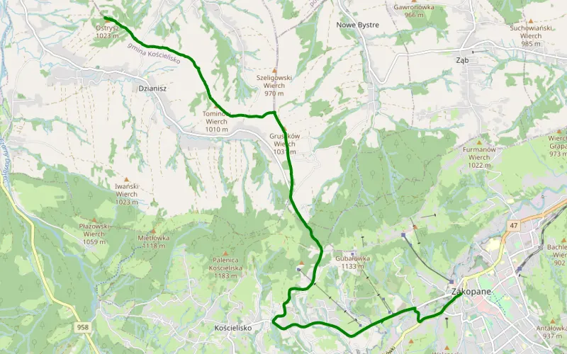
100% Offroad score
Difficult
1030m Highest peak
Zakopane - Dzianisz
Offroad score100%
No known restrictions99%
Distance3.77 km
Highest peak1,030m
Offroad3.77 km
5 years ago
View route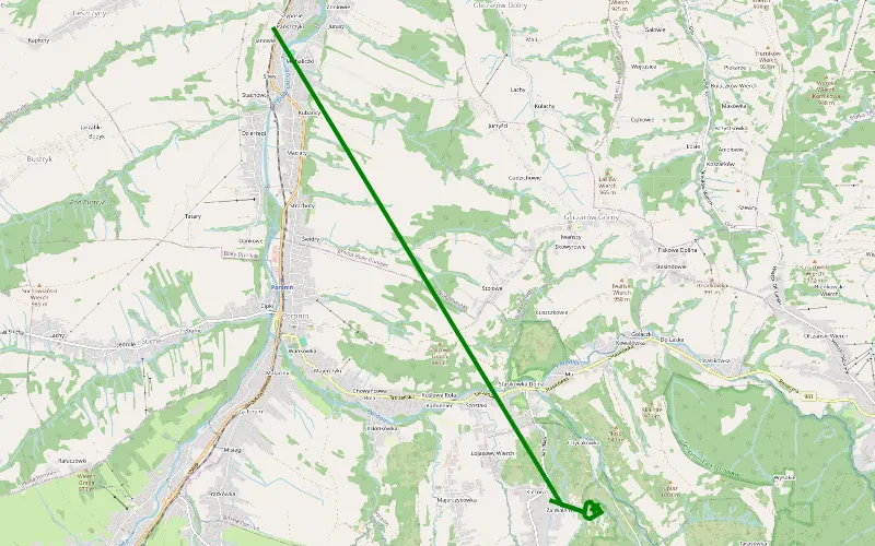
100% Offroad score
Difficult
837m Highest peak
Biały Dunajec
Offroad score100%
No known restrictions92%
Distance2 km
Highest peak837m
Offroad2 km
4 years ago
View route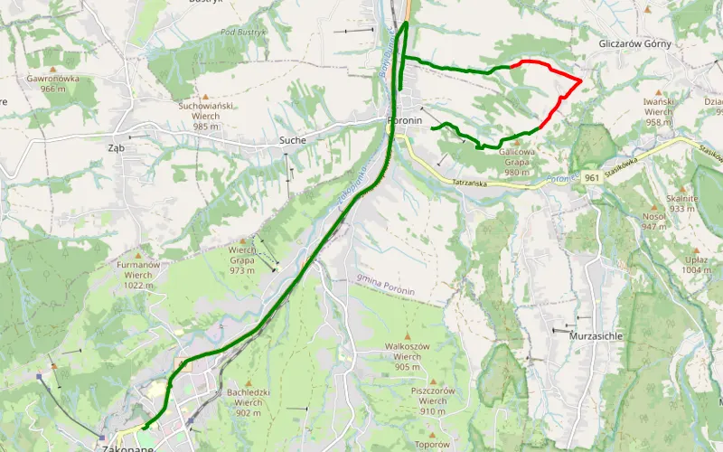
61% Offroad score
Moderate
961m Highest peak
Zakopane - Poronin
Offroad score61%
No known restrictions99%
Distance5.3 km
Highest peak961m
Offroad3.22 km
8 years ago
View route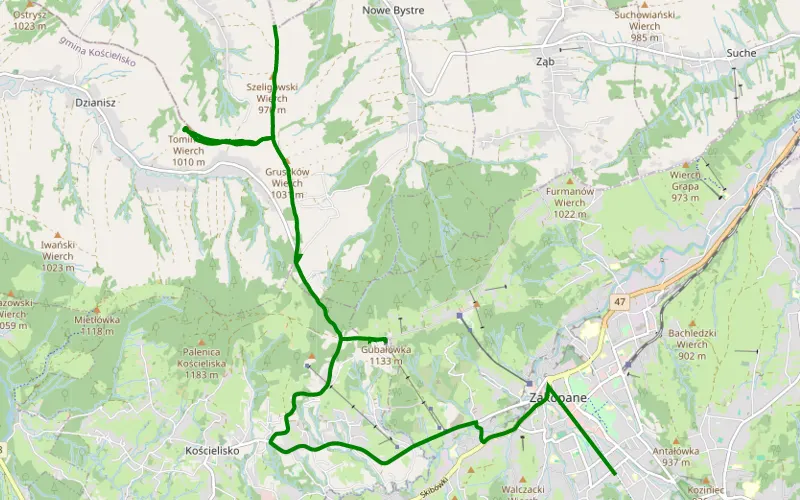
100% Offroad score
Difficult
1020m Highest peak
Bystre - Kule
Offroad score100%
No known restrictions99%
Distance1.33 km
Highest peak1,020m
Offroad1.33 km
1 year ago
View route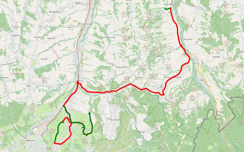
12% Offroad score
Easy
1022m Highest peak
Białka Tatrzańska - Olcza
Offroad score12%
No known restrictions99%
Distance32.23 km
Highest peak1,022m
Offroad4.02 km
4 years ago
View route
51% Offroad score
Moderate
983m Highest peak
Poronin - Bukowina Tatrzańska
Offroad score51%
No known restrictions97%
Distance25.66 km
Highest peak983m
Offroad13.08 km
4 years ago
View route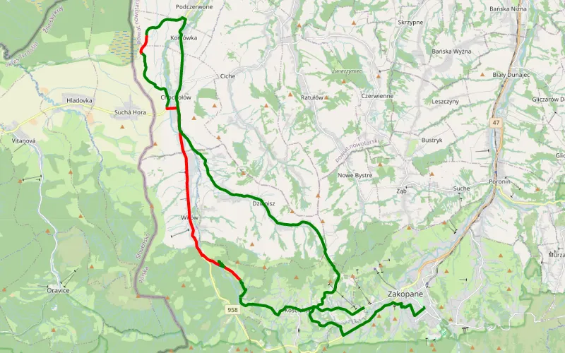
40% Offroad score
Moderate
923m Highest peak
Zakopane - Chochołów - Podczerwone - Dzianisz - Zakopane
Offroad score40%
No known restrictions99%
Distance16.3 km
Highest peak923m
Offroad6.59 km
7 years ago
View route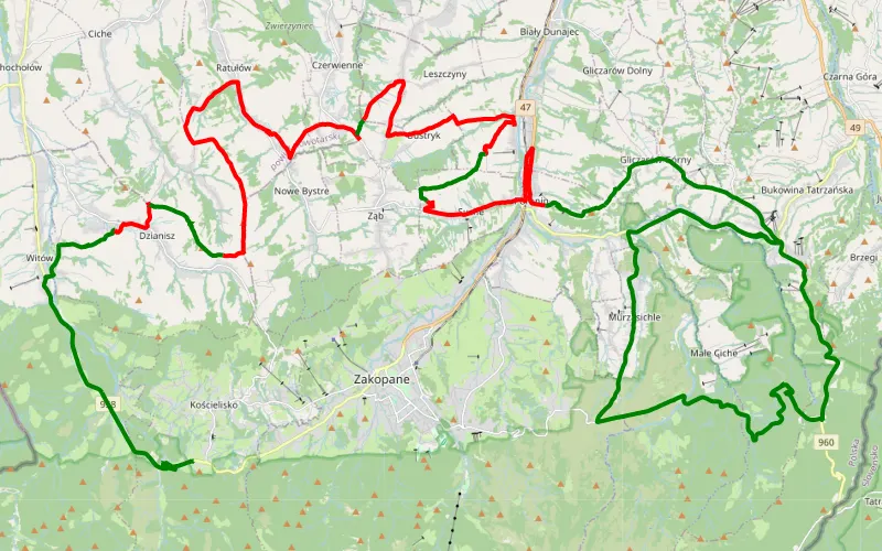
24% Offroad score
Easy
1020m Highest peak
Kościelisko - Stasikówka
Offroad score24%
No known restrictions99%
Distance38.9 km
Highest peak1,020m
Offroad9.4 km
6 years ago
View route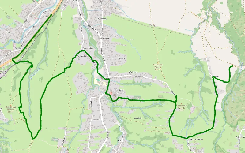
100% Offroad score
Difficult
911m Highest peak
Olcza - Majerozy Kówka
Offroad score100%
No known restrictions99%
Distance3.2 km
Highest peak911m
Offroad3.2 km
7 years ago
View route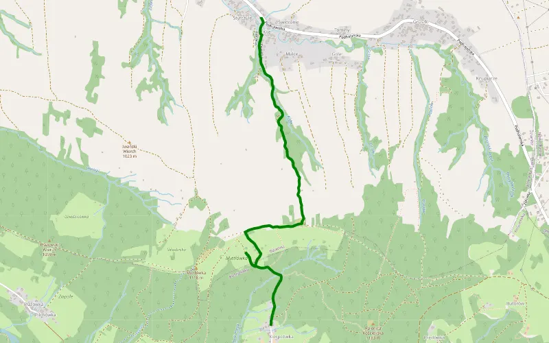
100% Offroad score
Difficult
1044m Highest peak
Kierpcówka - Dzianisz
Offroad score100%
No known restrictions99%
Distance3.26 km
Highest peak1,044m
Offroad3.26 km
7 years ago
View route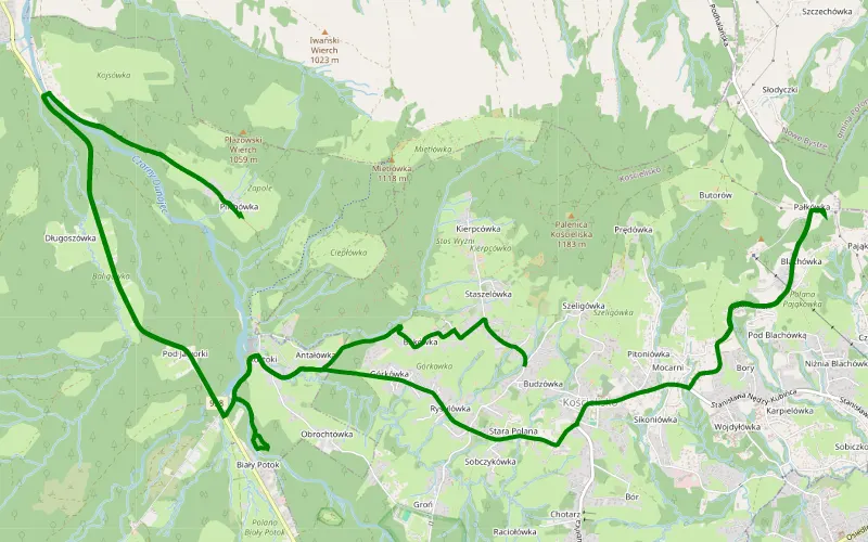
100% Offroad score
Difficult
900m Highest peak
Quady
Offroad score100%
No known restrictions99%
Distance1.12 km
Highest peak900m
Offroad1.12 km
2 years ago
View route