



Routes
Lublin County/ Lublin Voivodeship
Showing 24 routes // Page 2
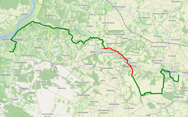
63% Offroad score
Moderate
215m Highest peak
Bochotnica - Kazimierz Dolny
Offroad score63%
No known restrictions99%
Distance15.26 km
Highest peak215m
Offroad9.65 km
7 months ago
View route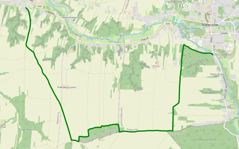
100% Offroad score
Difficult
206m Highest peak
Nałęczów - Wąwolnica
Offroad score100%
No known restrictions99%
Distance7.29 km
Highest peak206m
Offroad7.29 km
1 year ago
View route
53% Offroad score
Moderate
208m Highest peak
Pryszczowa Góra - Nasutów
Offroad score53%
No known restrictions97%
Distance28.3 km
Highest peak208m
Offroad14.94 km
1 year ago
View route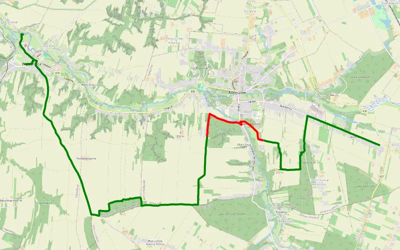
81% Offroad score
Difficult
219m Highest peak
Sadurki - Wąwolnica
Offroad score81%
No known restrictions99%
Distance11.37 km
Highest peak219m
Offroad9.2 km
1 year ago
View route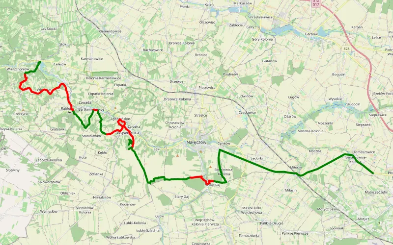
53% Offroad score
Moderate
211m Highest peak
W urodziny Taty do Kazimierza
Offroad score53%
No known restrictions96%
Distance32.51 km
Highest peak211m
Offroad17.29 km
3 years ago
View route
51% Offroad score
Moderate
188m Highest peak
Łuszczów Pierwszy - Spiczyn
Offroad score51%
No known restrictions92%
Distance23.35 km
Highest peak188m
Offroad11.88 km
11 months ago
View route
38% Offroad score
Easy
164m Highest peak
Doliną Bystrzycy 2
Offroad score38%
No known restrictions98%
Distance26.76 km
Highest peak164m
Offroad10.17 km
5 months ago
View route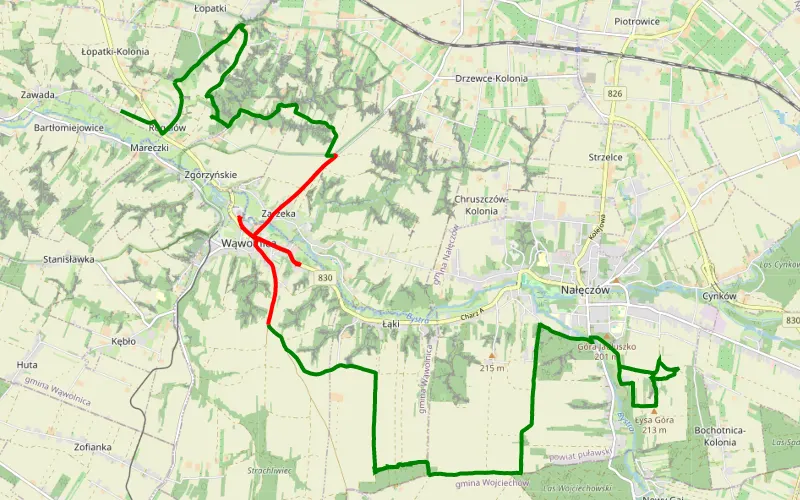
73% Offroad score
Difficult
218m Highest peak
Trip
Offroad score73%
No known restrictions98%
Distance19.96 km
Highest peak218m
Offroad14.6 km
1 year ago
View route
52% Offroad score
Moderate
197m Highest peak
Lublin - Zawieprzyce - Lubartów
Offroad score52%
No known restrictions98%
Distance40.21 km
Highest peak197m
Offroad21.05 km
1 year ago
View route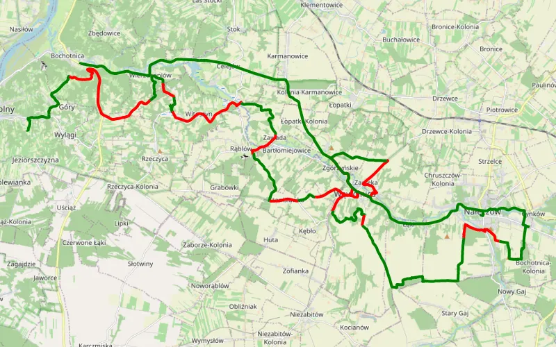
52% Offroad score
Moderate
210m Highest peak
Jeziorszczyzna - Bochotnicacccccc
Offroad score52%
No known restrictions99%
Distance45.76 km
Highest peak210m
Offroad23.81 km
1 year ago
View route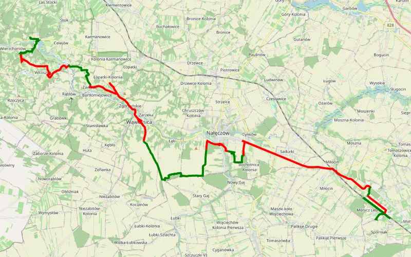
39% Offroad score
Easy
245m Highest peak
Motycz - Wierzchoniów wąwozy
Offroad score39%
No known restrictions97%
Distance42.45 km
Highest peak245m
Offroad16.48 km
2 years ago
View route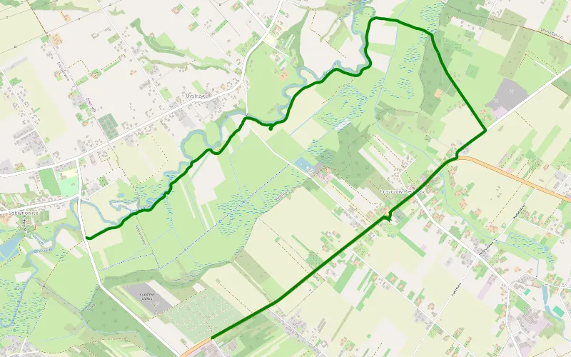
100% Offroad score
Difficult
183m Highest peak
Łuszczów Pierwszy - Sobianowice
Offroad score100%
No known restrictions99%
Distance4.28 km
Highest peak183m
Offroad4.28 km
15 days ago
View route
100% Offroad score
Difficult
372m Highest peak
Tarnawa Duża - Biskupie
Offroad score100%
No known restrictions88%
Distance18.84 km
Highest peak372m
Offroad18.84 km
4 years ago
View route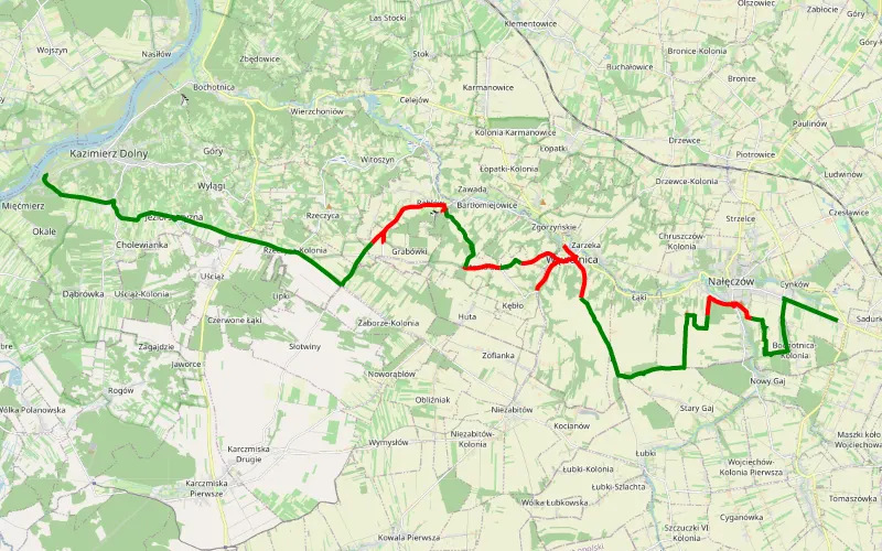
53% Offroad score
Moderate
226m Highest peak
Nałęczów Kazimierz
Offroad score53%
No known restrictions99%
Distance28.05 km
Highest peak226m
Offroad14.89 km
1 year ago
View route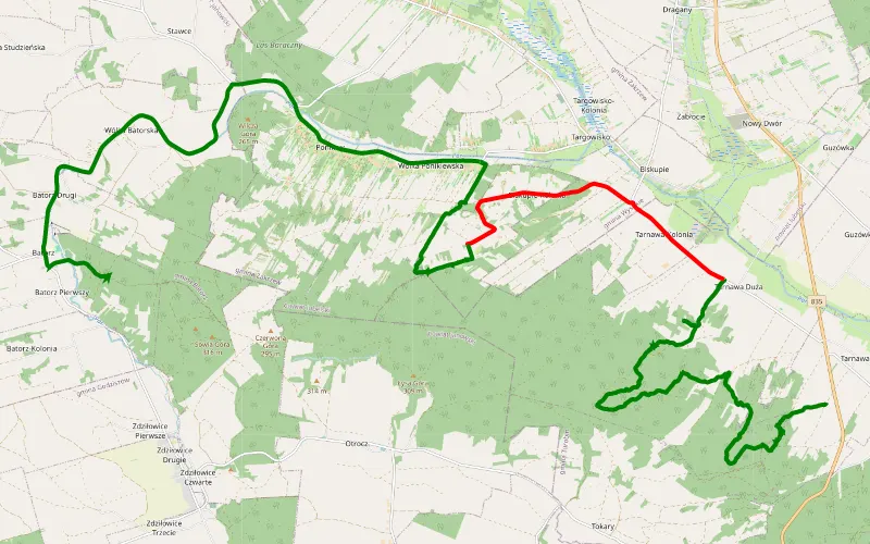
73% Offroad score
Difficult
336m Highest peak
Batorz i okolica
Offroad score73%
No known restrictions97%
Distance23.1 km
Highest peak336m
Offroad16.78 km
2 years ago
View route
74% Offroad score
Difficult
219m Highest peak
Wólka Abramowicka - Stasin
Offroad score74%
No known restrictions87%
Distance13.45 km
Highest peak219m
Offroad9.91 km
1 year ago
View route
47% Offroad score
Moderate
169m Highest peak
Serniki - Za Cukrownią
Offroad score47%
No known restrictions99%
Distance14.6 km
Highest peak169m
Offroad6.88 km
11 months ago
View route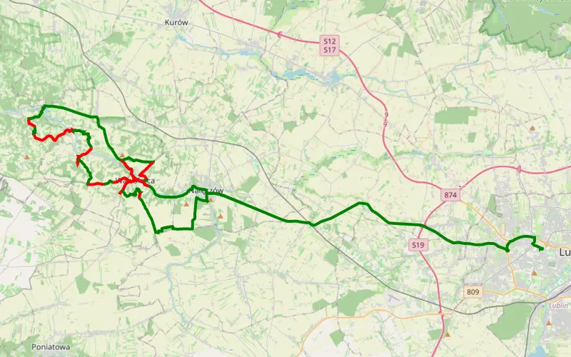
53% Offroad score
Moderate
212m Highest peak
Cynków - Wieniawa
Offroad score53%
No known restrictions97%
Distance37.86 km
Highest peak212m
Offroad19.95 km
3 years ago
View route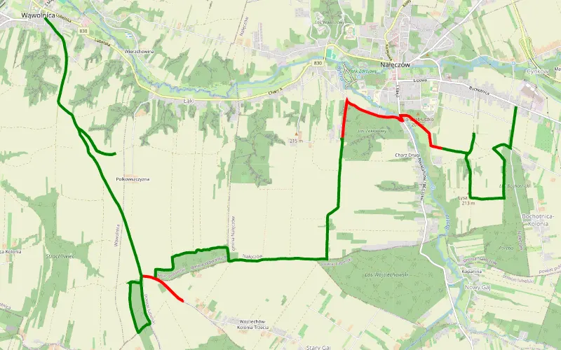
80% Offroad score
Difficult
227m Highest peak
Wąwolnica - Bochotnica
Offroad score80%
No known restrictions99%
Distance16.76 km
Highest peak227m
Offroad13.42 km
3 years ago
View route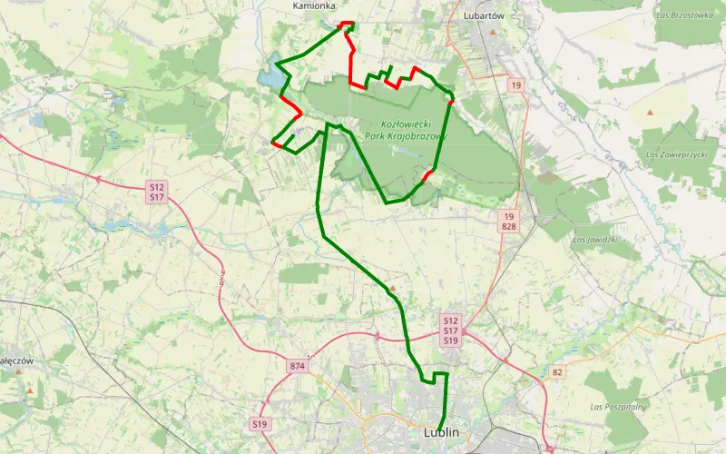
71% Offroad score
Difficult
206m Highest peak
Kawka
Offroad score71%
No known restrictions96%
Distance40.87 km
Highest peak206m
Offroad28.96 km
3 years ago
View route
89% Offroad score
Difficult
354m Highest peak
Biskupie
Offroad score89%
No known restrictions78%
Distance24.76 km
Highest peak354m
Offroad22.16 km
1 year ago
View route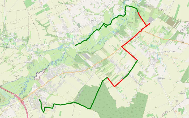
66% Offroad score
Moderate
205m Highest peak
Długie - Sobianowice
Offroad score66%
No known restrictions99%
Distance13.79 km
Highest peak205m
Offroad9.16 km
1 year ago
View route
41% Offroad score
Moderate
229m Highest peak
Trasa Emil
Offroad score41%
No known restrictions91%
Distance29.35 km
Highest peak229m
Offroad12.09 km
6 months ago
View route
69% Offroad score
Moderate
296m Highest peak
Panda 4x4
Offroad score69%
No known restrictions82%
Distance65.03 km
Highest peak296m
Offroad44.79 km
4 months ago
View route