



Routes
Sieradz County/ Łódź Voivodeship
Showing 24 routes

91% Offroad score
Difficult
149m Highest peak
Dzierzązna - Woźniki
Offroad score91%
No known restrictions88%
Distance43.63 km
Highest peak149m
Offroad39.76 km
6 months ago
View route
100% Offroad score
Difficult
159m Highest peak
Jamy Męka - Mała Wieś
Offroad score100%
No known restrictions99%
Distance26.25 km
Highest peak159m
Offroad26.25 km
4 years ago
View route
45% Offroad score
Moderate
185m Highest peak
Widzew - Beleń
Offroad score45%
No known restrictions93%
Distance63.11 km
Highest peak185m
Offroad28.47 km
6 months ago
View route
47% Offroad score
Moderate
174m Highest peak
Męka - Cisza
Offroad score47%
No known restrictions90%
Distance60.03 km
Highest peak174m
Offroad28.31 km
4 years ago
View route
75% Offroad score
Difficult
182m Highest peak
Strumiany - Glinno
Offroad score75%
No known restrictions83%
Distance56.53 km
Highest peak182m
Offroad42.27 km
3 years ago
View route
74% Offroad score
Difficult
147m Highest peak
Strumiany - Pstrokonie
Offroad score74%
No known restrictions72%
Distance8.42 km
Highest peak147m
Offroad6.23 km
4 months ago
View route
85% Offroad score
Difficult
181m Highest peak
Ruda - Strumiany
Offroad score85%
No known restrictions91%
Distance67.3 km
Highest peak181m
Offroad57.16 km
4 years ago
View route
100% Offroad score
Difficult
147m Highest peak
Kolonia Podłężyce - Zarzecze
Offroad score100%
No known restrictions68%
Distance18.55 km
Highest peak147m
Offroad18.55 km
3 years ago
View route
37% Offroad score
Easy
242m Highest peak
Jeziorsko polami i łąkami by Miki
Offroad score37%
No known restrictions98%
Distance260.87 km
Highest peak242m
Offroad96.12 km
5 months ago
View route
77% Offroad score
Difficult
152m Highest peak
Strumiany - Zagórzyce
Offroad score77%
No known restrictions69%
Distance14.87 km
Highest peak152m
Offroad11.45 km
1 year ago
View route
32% Offroad score
Easy
175m Highest peak
Dziechtarzew - Mnichów
Offroad score32%
No known restrictions89%
Distance58.28 km
Highest peak175m
Offroad18.78 km
3 years ago
View route
76% Offroad score
Difficult
140m Highest peak
Strumiany - Beleń
Offroad score76%
No known restrictions64%
Distance14.73 km
Highest peak140m
Offroad11.15 km
2 years ago
View route
46% Offroad score
Moderate
186m Highest peak
Rososzyca
Offroad score46%
No known restrictions88%
Distance62.8 km
Highest peak186m
Offroad28.86 km
4 years ago
View route
63% Offroad score
Moderate
163m Highest peak
Piękna trasa!
Offroad score63%
No known restrictions74%
Distance33.64 km
Highest peak163m
Offroad21.14 km
5 years ago
View route
88% Offroad score
Difficult
156m Highest peak
Jamy Męka - Kolonia Zagórki
Offroad score88%
No known restrictions46%
Distance24.52 km
Highest peak156m
Offroad21.48 km
4 years ago
View route
63% Offroad score
Moderate
168m Highest peak
Czołczyn - Zborowskie
Offroad score63%
No known restrictions75%
Distance30.94 km
Highest peak168m
Offroad19.47 km
5 years ago
View route
41% Offroad score
Moderate
218m Highest peak
Gojść - Pęczniew dzień dziecka
Offroad score41%
No known restrictions95%
Distance143.02 km
Highest peak218m
Offroad58.46 km
4 years ago
View route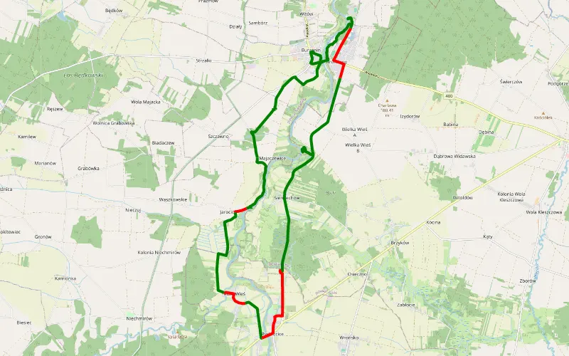
74% Offroad score
Difficult
243m Highest peak
Warta
Offroad score74%
No known restrictions99%
Distance20.88 km
Highest peak243m
Offroad15.42 km
8 years ago
View route
48% Offroad score
Moderate
220m Highest peak
Dziechtarzew - Przygoń
Offroad score48%
No known restrictions86%
Distance80.07 km
Highest peak220m
Offroad38.1 km
5 years ago
View route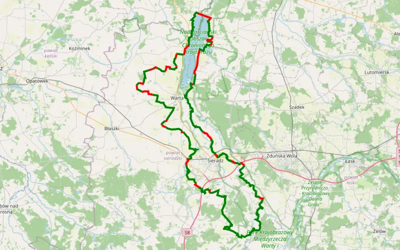
79% Offroad score
Difficult
182m Highest peak
NiebieskaNaPełnejQ168km
Offroad score79%
No known restrictions94%
Distance165.2 km
Highest peak182m
Offroad129.76 km
10 days ago
View route
100% Offroad score
Difficult
143m Highest peak
Pstrokonie - Strońsko
Offroad score100%
No known restrictions35%
Distance3.07 km
Highest peak143m
Offroad3.07 km
3 years ago
View route
82% Offroad score
Difficult
137m Highest peak
20.83 km Offroad Trail
Offroad score82%
No known restrictions73%
Distance20.83 km
Highest peak137m
Offroad17 km
2 years ago
View route
73% Offroad score
Difficult
920m Highest peak
Ochota → Głuszyca Górna
Offroad score73%
No known restrictions69%
Distance415.12 km
Highest peak920m
Offroad303.47 km
11 months ago
View route
73% Offroad score
Difficult
920m Highest peak
Ochota → Głuszyca Górna
Offroad score73%
No known restrictions69%
Distance415.12 km
Highest peak920m
Offroad303.47 km
11 months ago
View route