



Routes
Radomsko County/ Łódź Voivodeship
Showing 24 routes

87% Offroad score
Difficult
275m Highest peak
Fryszerka - Grzebień
Offroad score87%
No known restrictions93%
Distance19.2 km
Highest peak275m
Offroad16.62 km
1 year ago
View route
30% Offroad score
Easy
373m Highest peak
Ozar - Patyki
Offroad score30%
No known restrictions90%
Distance63.72 km
Highest peak373m
Offroad18.84 km
1 month ago
View route
61% Offroad score
Moderate
267m Highest peak
K737.G.Kamieńsk152km
Offroad score61%
No known restrictions92%
Distance149.93 km
Highest peak267m
Offroad92.08 km
5 months ago
View route
43% Offroad score
Moderate
367m Highest peak
TrampK4offRoad93km.
Offroad score43%
No known restrictions93%
Distance90.73 km
Highest peak367m
Offroad38.82 km
5 months ago
View route
43% Offroad score
Moderate
412m Highest peak
new
Offroad score43%
No known restrictions97%
Distance161.88 km
Highest peak412m
Offroad68.89 km
5 months ago
View route
27% Offroad score
Easy
383m Highest peak
Bełchatów
Offroad score27%
No known restrictions90%
Distance45.23 km
Highest peak383m
Offroad12.14 km
3 years ago
View route
55% Offroad score
Moderate
311m Highest peak
New file 2
Offroad score55%
No known restrictions89%
Distance143.65 km
Highest peak311m
Offroad78.82 km
5 months ago
View route
34% Offroad score
Easy
388m Highest peak
Ożga - Zalew Patyki
Offroad score34%
No known restrictions89%
Distance69.5 km
Highest peak388m
Offroad23.91 km
3 years ago
View route
28% Offroad score
Easy
357m Highest peak
Desert de sable polonais
Offroad score28%
No known restrictions88%
Distance78.02 km
Highest peak357m
Offroad22.07 km
2 years ago
View route
27% Offroad score
Easy
254m Highest peak
Wojciechów - Kościół pw św Wacława - Niwka
Offroad score27%
No known restrictions81%
Distance59.07 km
Highest peak254m
Offroad15.8 km
1 year ago
View route
41% Offroad score
Moderate
417m Highest peak
Zelów - Kowalszczyzna
Offroad score41%
No known restrictions75%
Distance84.24 km
Highest peak417m
Offroad34.51 km
2 years ago
View route
17% Offroad score
Easy
352m Highest peak
Sulejów - Mrowina
Offroad score17%
No known restrictions96%
Distance86.59 km
Highest peak352m
Offroad14.46 km
1 year ago
View route
89% Offroad score
Difficult
249m Highest peak
Barczkowice - Kamieńsk
Offroad score89%
No known restrictions82%
Distance13.52 km
Highest peak249m
Offroad11.99 km
10 months ago
View route
43% Offroad score
Moderate
268m Highest peak
Do Cieszanowic
Offroad score43%
No known restrictions95%
Distance23.21 km
Highest peak268m
Offroad10.09 km
6 years ago
View route
100% Offroad score
Difficult
214m Highest peak
Pieńki - Szczepocice
Offroad score100%
No known restrictions72%
Distance5.58 km
Highest peak214m
Offroad5.58 km
9 years ago
View route
25% Offroad score
Easy
430m Highest peak
Sułoszowa - Łączkowice
Offroad score25%
No known restrictions98%
Distance150.25 km
Highest peak430m
Offroad36.86 km
5 years ago
View route
74% Offroad score
Difficult
272m Highest peak
New file 1
Offroad score74%
No known restrictions77%
Distance85.69 km
Highest peak272m
Offroad63.83 km
5 months ago
View route
69% Offroad score
Moderate
337m Highest peak
k m tramp201km2611 ostateczny
Offroad score69%
No known restrictions90%
Distance201.83 km
Highest peak337m
Offroad138.77 km
5 months ago
View route
28% Offroad score
Easy
440m Highest peak
PLAN Boże ciało
Offroad score28%
No known restrictions97%
Distance188.88 km
Highest peak440m
Offroad52.98 km
5 years ago
View route
13% Offroad score
Easy
286m Highest peak
Panoszów - Przedbórz
Offroad score13%
No known restrictions94%
Distance81.9 km
Highest peak286m
Offroad10.55 km
1 year ago
View route
26% Offroad score
Easy
293m Highest peak
Kolonia Kietlin - Amelin
Offroad score26%
No known restrictions90%
Distance76.32 km
Highest peak293m
Offroad19.48 km
10 years ago
View route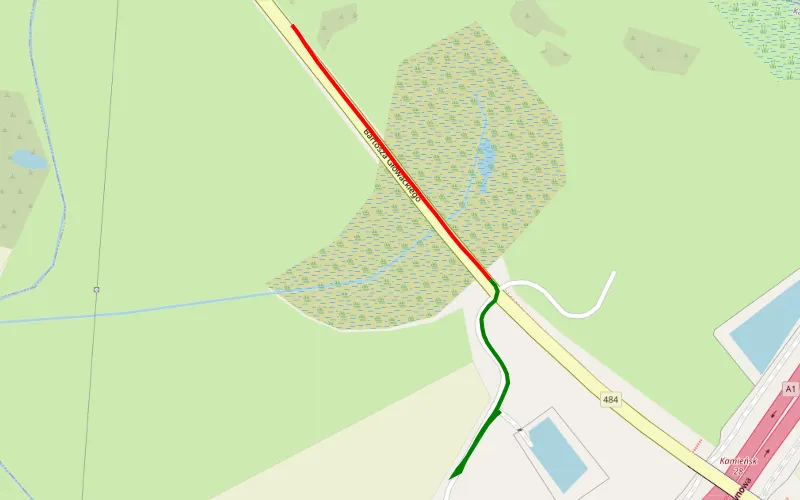
49% Offroad score
Moderate
217m Highest peak
Koźniewice - Szpinalów
Offroad score49%
No known restrictions99%
Distance0.59 km
Highest peak217m
Offroad0.29 km
8 months ago
View route
40% Offroad score
Moderate
417m Highest peak
Kleszczów Mokradła MG
Offroad score40%
No known restrictions85%
Distance105.37 km
Highest peak417m
Offroad42.46 km
4 years ago
View route
17% Offroad score
Easy
342m Highest peak
Mstów
Offroad score17%
No known restrictions95%
Distance161.52 km
Highest peak342m
Offroad27.8 km
4 years ago
View route