



Routes
Złotoryja County/ Lower Silesian Voivodeship
Showing 24 routes // Page 3

63% Offroad score
Moderate
704m Highest peak
Chałupy - Dąbrowica
Offroad score63%
No known restrictions52%
Distance35.05 km
Highest peak704m
Offroad22.17 km
3 years ago
View route
35% Offroad score
Easy
432m Highest peak
Żarek - Złotoryja
Offroad score35%
No known restrictions82%
Distance35.91 km
Highest peak432m
Offroad12.55 km
5 years ago
View route
53% Offroad score
Moderate
475m Highest peak
Świny - Sady Dolne
Offroad score53%
No known restrictions94%
Distance71.17 km
Highest peak475m
Offroad37.81 km
4 years ago
View route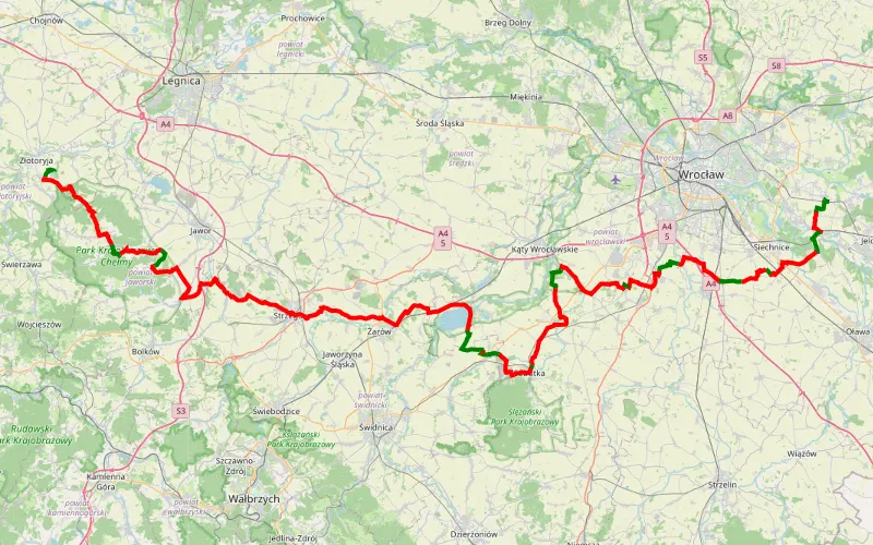
20% Offroad score
Easy
437m Highest peak
Trasa
Offroad score20%
No known restrictions97%
Distance161.36 km
Highest peak437m
Offroad31.48 km
2 months ago
View route
44% Offroad score
Moderate
534m Highest peak
Słup - Kowary Górne
Offroad score44%
No known restrictions85%
Distance64.02 km
Highest peak534m
Offroad28.01 km
4 years ago
View route
17% Offroad score
Easy
445m Highest peak
Stawiska - Nowa Wieś Mała
Offroad score17%
No known restrictions88%
Distance58.15 km
Highest peak445m
Offroad9.74 km
1 year ago
View route
31% Offroad score
Easy
301m Highest peak
Prostynia - Nowa Wieś Złotoryska
Offroad score31%
No known restrictions94%
Distance106.27 km
Highest peak301m
Offroad32.95 km
2 years ago
View route
53% Offroad score
Moderate
341m Highest peak
64.59 km Offroad Trail
Offroad score53%
No known restrictions83%
Distance64.59 km
Highest peak341m
Offroad34.4 km
4 years ago
View route
75% Offroad score
Difficult
398m Highest peak
Jurków - Ustronie
Offroad score75%
No known restrictions58%
Distance20.95 km
Highest peak398m
Offroad15.81 km
4 years ago
View route
20% Offroad score
Easy
507m Highest peak
Jarek
Offroad score20%
No known restrictions81%
Distance51.3 km
Highest peak507m
Offroad10.4 km
3 years ago
View route
100% Offroad score
Difficult
663m Highest peak
Sehr guter Start
Offroad score100%
No known restrictions29%
Distance4.56 km
Highest peak663m
Offroad4.56 km
1 year ago
View route
39% Offroad score
Easy
651m Highest peak
Karpacz - fajna trasa TP
Offroad score39%
No known restrictions81%
Distance54.78 km
Highest peak651m
Offroad21.14 km
5 years ago
View route
88% Offroad score
Difficult
505m Highest peak
Prezezdziedza - Tarczyn
Offroad score88%
No known restrictions41%
Distance15.61 km
Highest peak505m
Offroad13.72 km
4 years ago
View route
72% Offroad score
Difficult
437m Highest peak
Tarczyn - Gosciradz do modrzewi
Offroad score72%
No known restrictions58%
Distance15.06 km
Highest peak437m
Offroad10.83 km
4 years ago
View route
43% Offroad score
Moderate
485m Highest peak
Bolków Zdroj - Dobków
Offroad score43%
No known restrictions72%
Distance16.26 km
Highest peak485m
Offroad6.91 km
4 years ago
View route
85% Offroad score
Difficult
705m Highest peak
Jelenia Góra
Offroad score85%
No known restrictions47%
Distance18.48 km
Highest peak705m
Offroad15.72 km
4 years ago
View route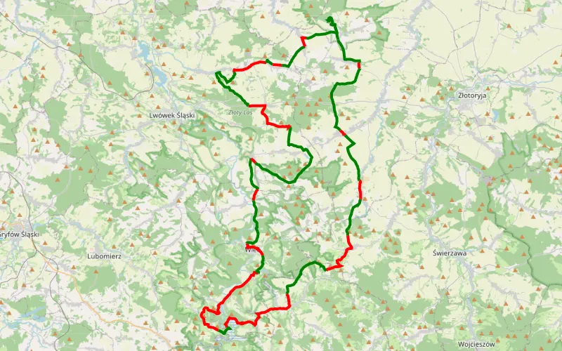
59% Offroad score
Moderate
488m Highest peak
TF2022.1
Offroad score59%
No known restrictions82%
Distance90.3 km
Highest peak488m
Offroad53.62 km
4 years ago
View route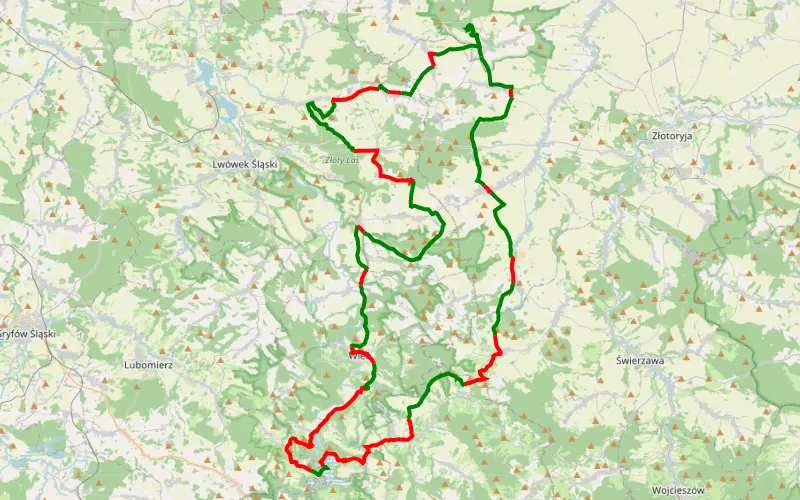
59% Offroad score
Moderate
488m Highest peak
TF2022.1
Offroad score59%
No known restrictions82%
Distance90.3 km
Highest peak488m
Offroad53.62 km
4 years ago
View route
47% Offroad score
Moderate
280m Highest peak
Lwówek Śląski - Jerzmanowice Piaskownia
Offroad score47%
No known restrictions87%
Distance40.34 km
Highest peak280m
Offroad19.13 km
5 years ago
View route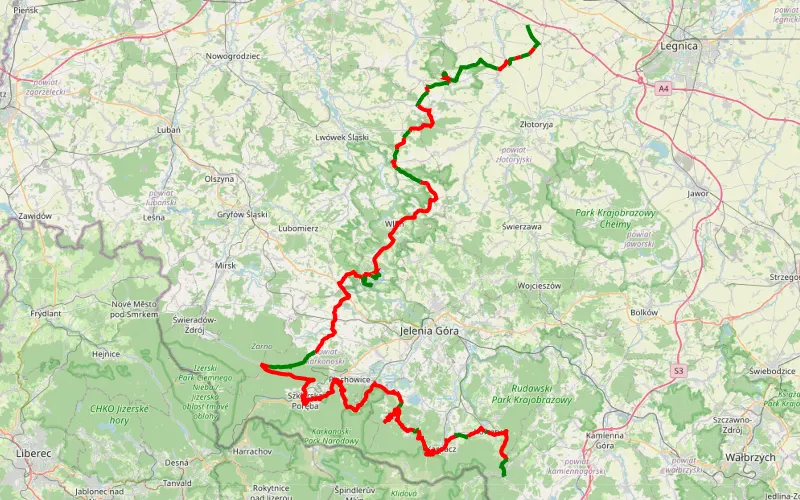
28% Offroad score
Easy
828m Highest peak
Wojciechów - Zamek Grodziec - Ogorzelec
Offroad score28%
No known restrictions88%
Distance163.26 km
Highest peak828m
Offroad45.65 km
1 year ago
View route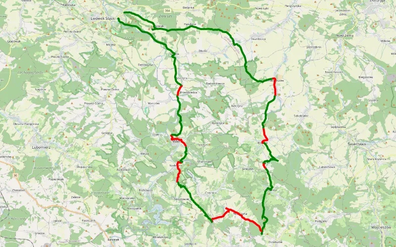
69% Offroad score
Moderate
599m Highest peak
Płakowice - Lwówek Śląski
Offroad score69%
No known restrictions74%
Distance49.9 km
Highest peak599m
Offroad34.4 km
5 years ago
View route
70% Offroad score
Difficult
289m Highest peak
Jurków - Jerzmanowice kopalnia
Offroad score70%
No known restrictions84%
Distance14.31 km
Highest peak289m
Offroad10.09 km
5 years ago
View route
14% Offroad score
Easy
886m Highest peak
Trasa listopad
Offroad score14%
No known restrictions97%
Distance246.97 km
Highest peak886m
Offroad33.57 km
11 months ago
View route
23% Offroad score
Easy
297m Highest peak
Konary, A4, Bolesławiec
Offroad score23%
No known restrictions96%
Distance275.5 km
Highest peak297m
Offroad62.97 km
1 year ago
View route