



Routes
Zgorzelec County/ Lower Silesian Voivodeship
Showing 10 routes // Page 2

100% Offroad score
Difficult
456m Highest peak
Bogatynia
Offroad score100%
No known restrictions0%
Distance27.53 km
Highest peak456m
Offroad27.53 km
7 years ago
View route
62% Offroad score
Moderate
632m Highest peak
Zgorzelec - Bolków
Offroad score62%
No known restrictions87%
Distance249.19 km
Highest peak632m
Offroad155.64 km
6 months ago
View route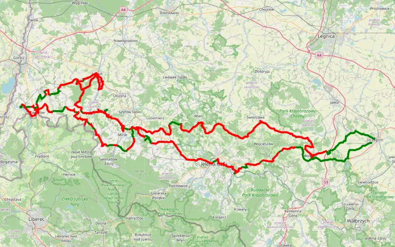
18% Offroad score
Easy
543m Highest peak
J. Niedów, 2 dni w aucie
Offroad score18%
No known restrictions93%
Distance305.19 km
Highest peak543m
Offroad54.41 km
2 years ago
View route
41% Offroad score
Moderate
599m Highest peak
Gryfów Śląski - Bogatynia - Gryfów
Offroad score41%
No known restrictions69%
Distance77.16 km
Highest peak599m
Offroad31.81 km
6 years ago
View route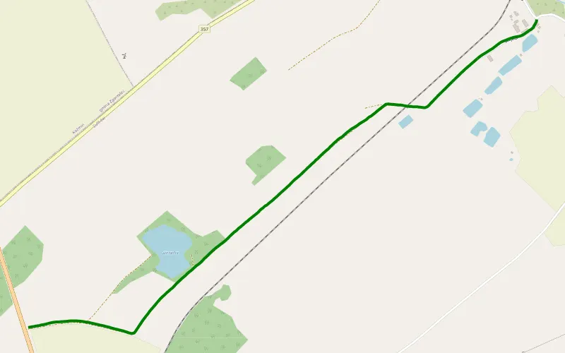
100% Offroad score
Difficult
239m Highest peak
Sulików - Wrociszów Dolny
Offroad score100%
No known restrictions92%
Distance2.06 km
Highest peak239m
Offroad2.06 km
6 years ago
View route
33% Offroad score
Easy
603m Highest peak
Kościelnik - Ubocze Bogatynia
Offroad score33%
No known restrictions78%
Distance122.98 km
Highest peak603m
Offroad40.45 km
6 years ago
View route
35% Offroad score
Easy
531m Highest peak
Gryfów Śląski
Offroad score35%
No known restrictions77%
Distance126.84 km
Highest peak531m
Offroad43.78 km
6 years ago
View route
26% Offroad score
Easy
461m Highest peak
J. Niedów- Bogatynia- Hałda Turów II
Offroad score26%
No known restrictions72%
Distance163 km
Highest peak461m
Offroad41.89 km
3 years ago
View route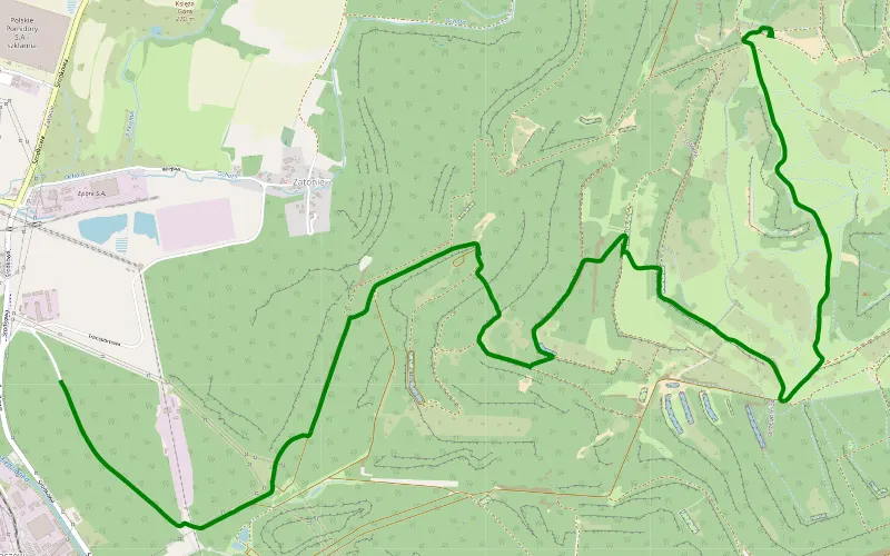
100% Offroad score
Difficult
446m Highest peak
Turoszów - Wyszków
Offroad score100%
No known restrictions0%
Distance2.2 km
Highest peak446m
Offroad2.2 km
7 years ago
View route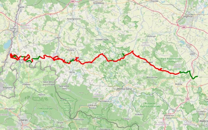
19% Offroad score
Easy
421m Highest peak
J. Złotnickie - Zbiornik Niedów I
Offroad score19%
No known restrictions89%
Distance179.12 km
Highest peak421m
Offroad34.16 km
3 years ago
View route