



Routes
Dzierżoniów County/ Lower Silesian Voivodeship
Showing 10 routes // Page 8
66% Offroad score
Moderate
355m Highest peak
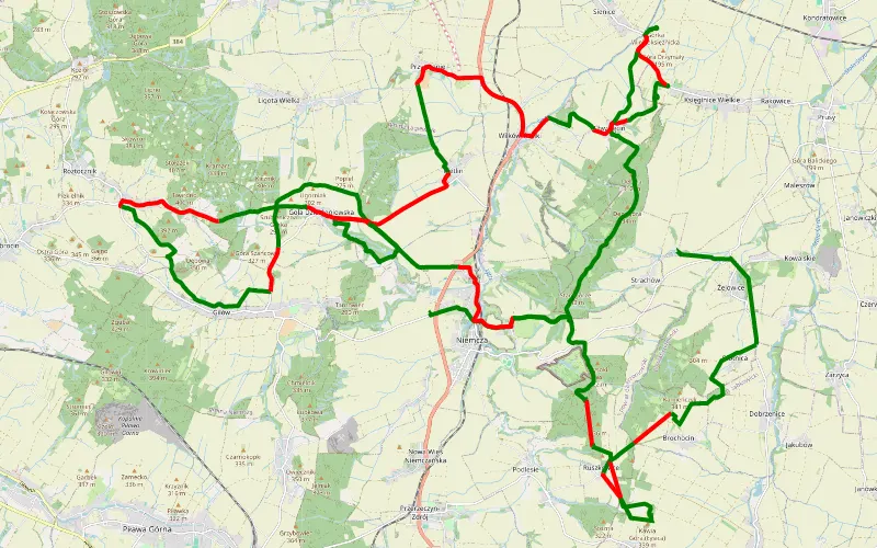
Jasin - Strachów
Offroad score66%
No known restrictions73%
Distance56.86 km
Highest peak355m
Offroad37.5 km
6 years ago
View route
59% Offroad score
Moderate
341m Highest peak
Kunów - Kuchary
Offroad score59%
No known restrictions87%
Distance104.26 km
Highest peak341m
Offroad61.59 km
5 years ago
View route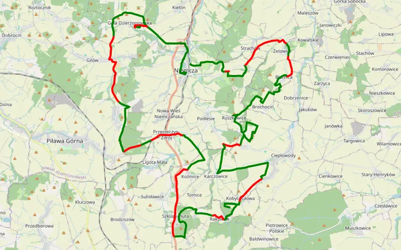
67% Offroad score
Moderate
363m Highest peak
Zlot - spotkanie czereśniowe Niemcza czerwiec 2019
Offroad score67%
No known restrictions84%
Distance61.05 km
Highest peak363m
Offroad40.65 km
7 years ago
View route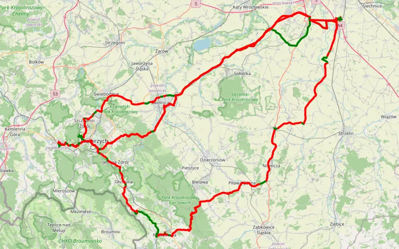
13% Offroad score
Easy
714m Highest peak
Turów hałda kamyki
Offroad score13%
No known restrictions97%
Distance324.73 km
Highest peak714m
Offroad43.38 km
5 years ago
View route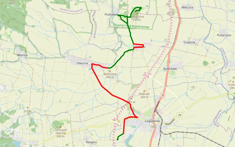
49% Offroad score
Moderate
244m Highest peak
SantaFe na wycieczce.
Offroad score49%
No known restrictions82%
Distance12.35 km
Highest peak244m
Offroad6.04 km
8 years ago
View route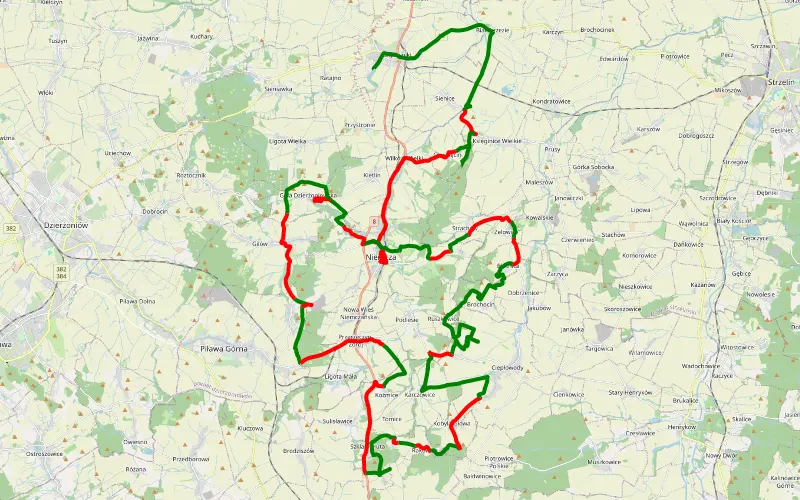
56% Offroad score
Moderate
417m Highest peak
Łagiewniki - Niemcza
Offroad score56%
No known restrictions85%
Distance79.59 km
Highest peak417m
Offroad44.56 km
7 years ago
View route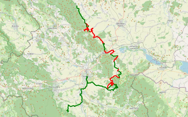
42% Offroad score
Moderate
729m Highest peak
Jodłownik - Szychów
Offroad score42%
No known restrictions82%
Distance77.04 km
Highest peak729m
Offroad32.09 km
6 years ago
View route
14% Offroad score
Easy
675m Highest peak
Popowice - Chałupy
Offroad score14%
No known restrictions77%
Distance329.33 km
Highest peak675m
Offroad46.83 km
1 year ago
View route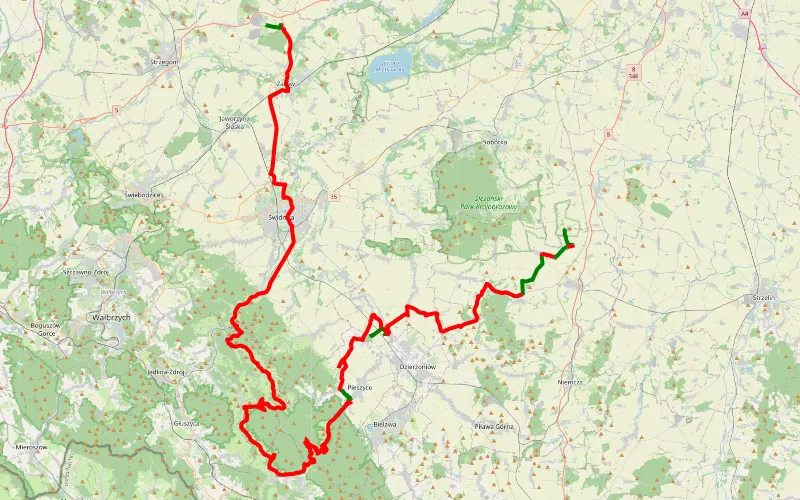
12% Offroad score
Easy
800m Highest peak
Piotrówek - Rusko
Offroad score12%
No known restrictions99%
Distance118.58 km
Highest peak800m
Offroad13.89 km
12 years ago
View route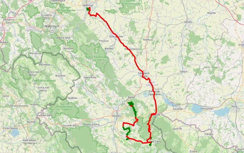
28% Offroad score
Easy
708m Highest peak
148.65 km Offroad Trail
Offroad score28%
No known restrictions80%
Distance148.65 km
Highest peak708m
Offroad41.82 km
6 years ago
View route