



Routes
Dzierżoniów County/ Lower Silesian Voivodeship
Showing 24 routes // Page 4
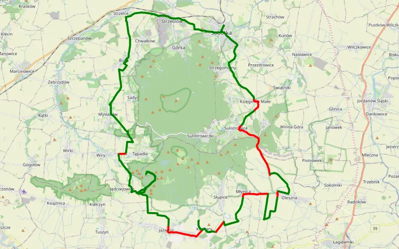
75% Offroad score
Difficult
335m Highest peak
Sobótka
Offroad score75%
No known restrictions85%
Distance42.57 km
Highest peak335m
Offroad32.08 km
7 years ago
View route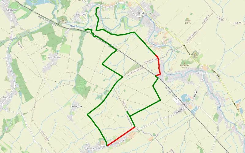
85% Offroad score
Difficult
270m Highest peak
Turystycznie
Offroad score85%
No known restrictions99%
Distance12.94 km
Highest peak270m
Offroad11.01 km
8 years ago
View route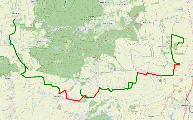
71% Offroad score
Difficult
278m Highest peak
Piotrówek - Mysłaków
Offroad score71%
No known restrictions98%
Distance25.36 km
Highest peak278m
Offroad18.11 km
7 years ago
View route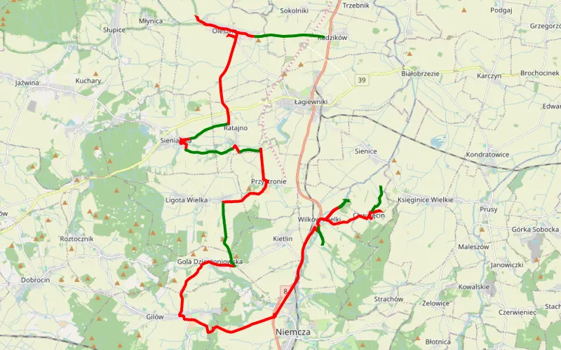
31% Offroad score
Easy
276m Highest peak
Radzików - Chwalecin
Offroad score31%
No known restrictions98%
Distance41.14 km
Highest peak276m
Offroad12.66 km
7 years ago
View route
25% Offroad score
Easy
753m Highest peak
Dzierżoniów
Offroad score25%
No known restrictions89%
Distance107.86 km
Highest peak753m
Offroad26.51 km
3 years ago
View route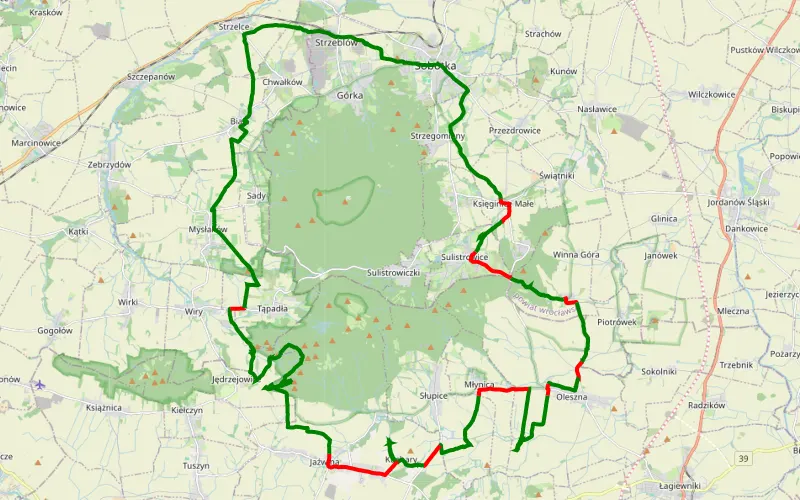
79% Offroad score
Difficult
419m Highest peak
Sobótka
Offroad score79%
No known restrictions84%
Distance44.74 km
Highest peak419m
Offroad35.5 km
8 years ago
View route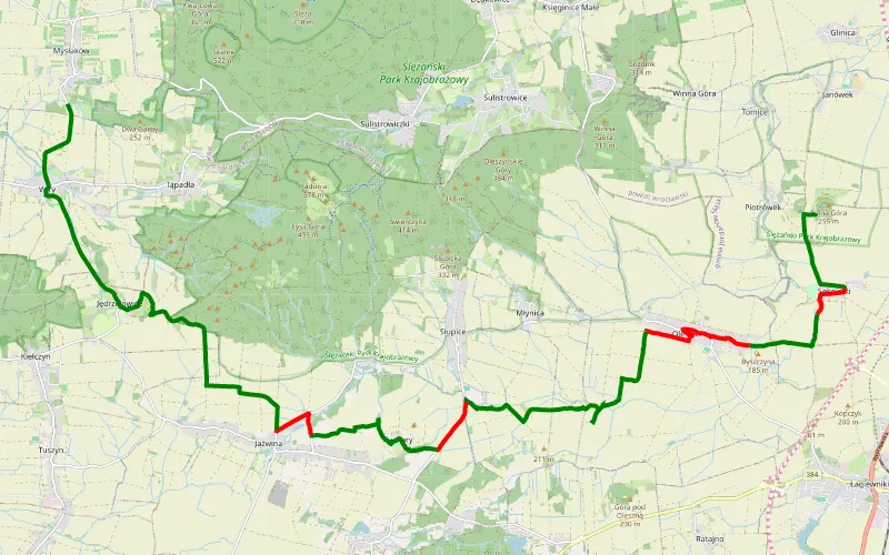
76% Offroad score
Difficult
362m Highest peak
Janska Gora -Wiry; Masyw Ślęży
Offroad score76%
No known restrictions93%
Distance21.62 km
Highest peak362m
Offroad16.39 km
9 years ago
View route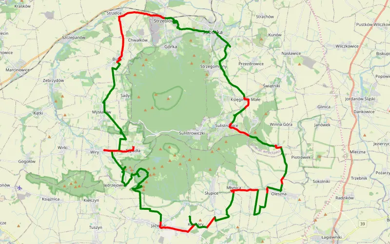
67% Offroad score
Moderate
410m Highest peak
Sobótka - Będkowice
Offroad score67%
No known restrictions86%
Distance56.19 km
Highest peak410m
Offroad37.86 km
6 years ago
View route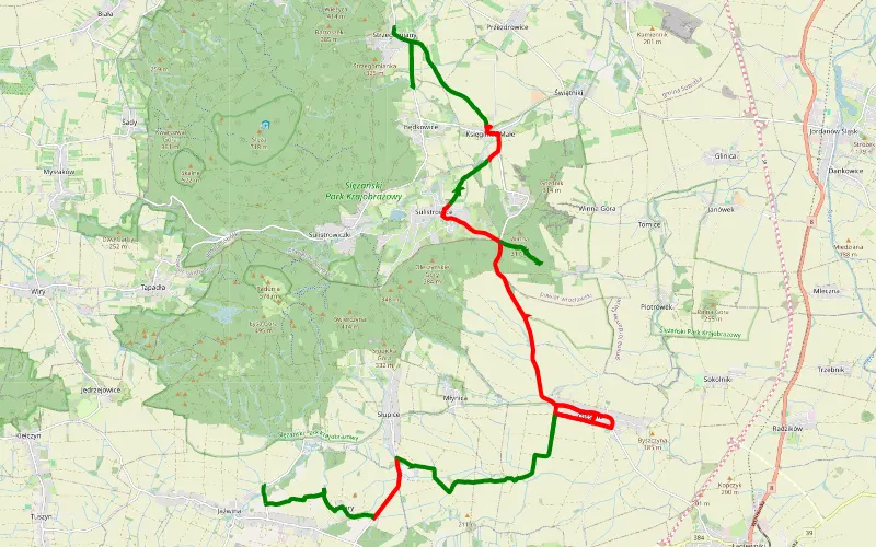
54% Offroad score
Moderate
283m Highest peak
Strzegomiany - Jażwina
Offroad score54%
No known restrictions90%
Distance26.67 km
Highest peak283m
Offroad14.39 km
6 years ago
View route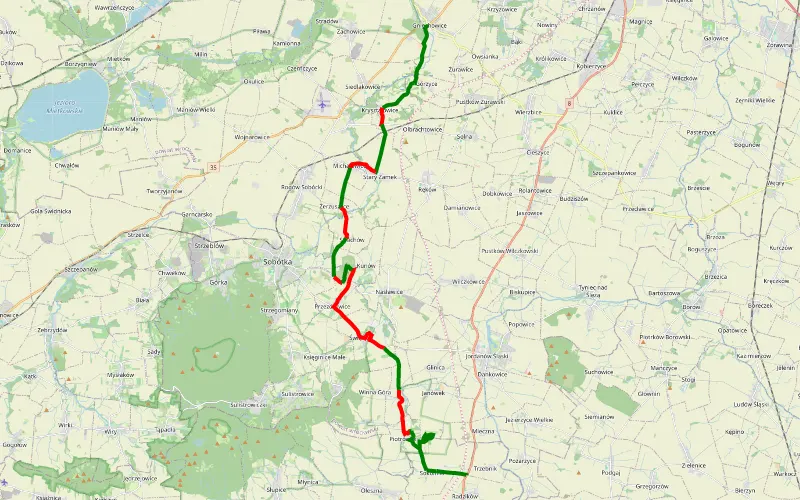
58% Offroad score
Moderate
257m Highest peak
Gniechowice - Kunów - Sokolniki
Offroad score58%
No known restrictions98%
Distance26.3 km
Highest peak257m
Offroad15.15 km
8 years ago
View route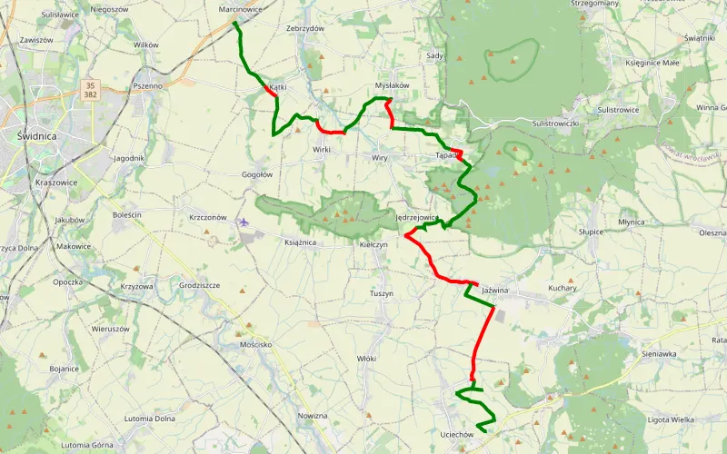
65% Offroad score
Moderate
508m Highest peak
Marcinowice-Uciechów Camping
Offroad score65%
No known restrictions88%
Distance28.78 km
Highest peak508m
Offroad18.85 km
7 years ago
View route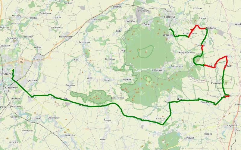
62% Offroad score
Moderate
277m Highest peak
Strzegomiany - Świdnica
Offroad score62%
No known restrictions91%
Distance24.53 km
Highest peak277m
Offroad15.11 km
7 years ago
View route
100% Offroad score
Difficult
760m Highest peak
Trail jeep
Offroad score100%
No known restrictions4%
Distance2.66 km
Highest peak760m
Offroad2.66 km
6 months ago
View route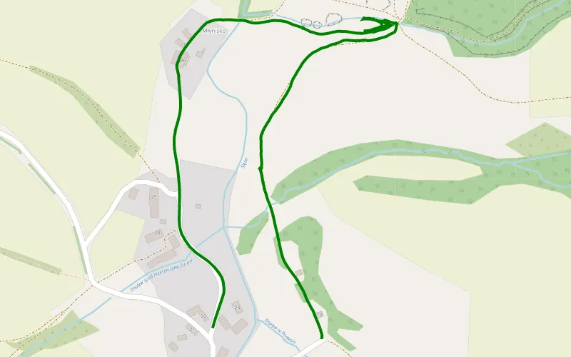
100% Offroad score
Difficult
227m Highest peak
Podlesie
Offroad score100%
No known restrictions78%
Distance1.47 km
Highest peak227m
Offroad1.47 km
1 month ago
View route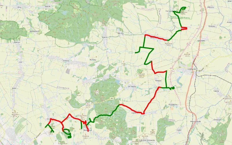
59% Offroad score
Moderate
325m Highest peak
Wyjazd na ognisko SantaFe
Offroad score59%
No known restrictions77%
Distance44.88 km
Highest peak325m
Offroad26.28 km
8 years ago
View route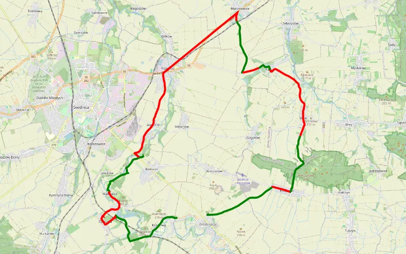
45% Offroad score
Moderate
311m Highest peak
30.3 km Offroad Trail
Offroad score45%
No known restrictions93%
Distance30.3 km
Highest peak311m
Offroad13.77 km
8 years ago
View route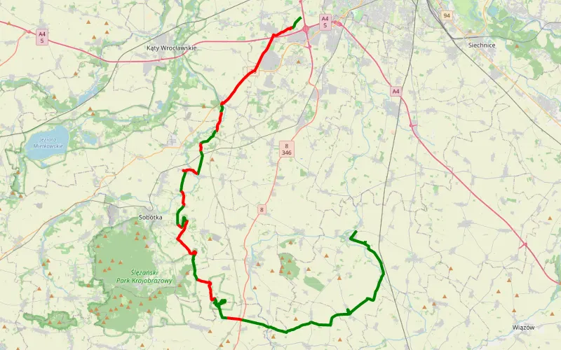
50% Offroad score
Moderate
257m Highest peak
Traska Gniechowice-borów
Offroad score50%
No known restrictions96%
Distance48.59 km
Highest peak257m
Offroad24.21 km
8 years ago
View route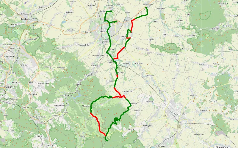
67% Offroad score
Moderate
793m Highest peak
Marcinowice-Boreczna-Świdnica
Offroad score67%
No known restrictions80%
Distance54.44 km
Highest peak793m
Offroad36.38 km
6 years ago
View route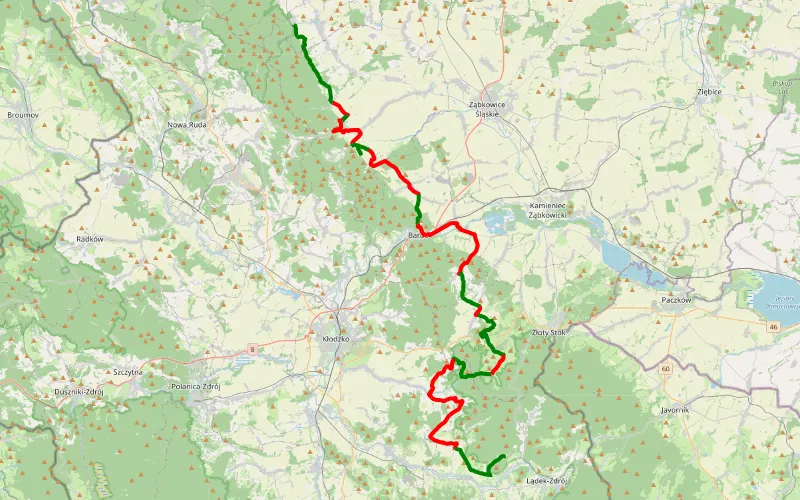
46% Offroad score
Moderate
577m Highest peak
Jodłownik - Radochów
Offroad score46%
No known restrictions87%
Distance68.27 km
Highest peak577m
Offroad31.26 km
6 years ago
View route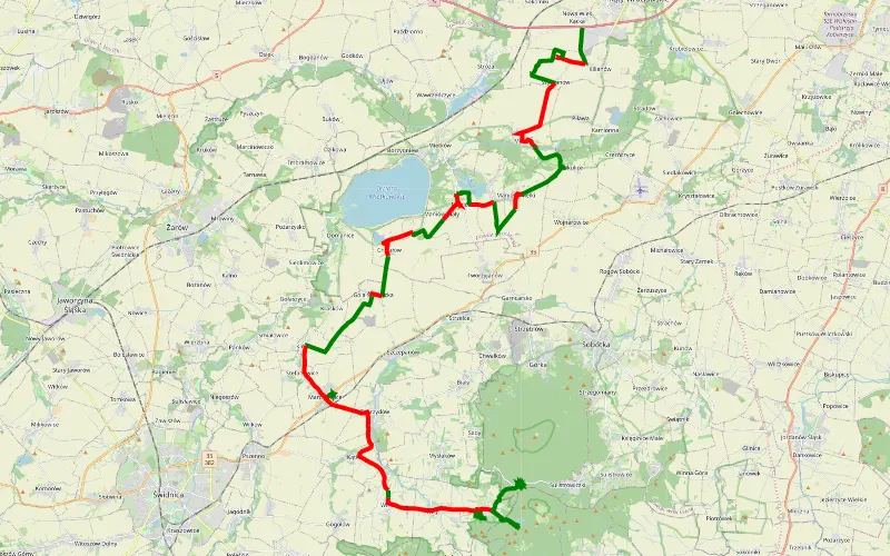
49% Offroad score
Moderate
407m Highest peak
52.46 km Offroad Trail
Offroad score49%
No known restrictions96%
Distance52.46 km
Highest peak407m
Offroad25.95 km
10 years ago
View route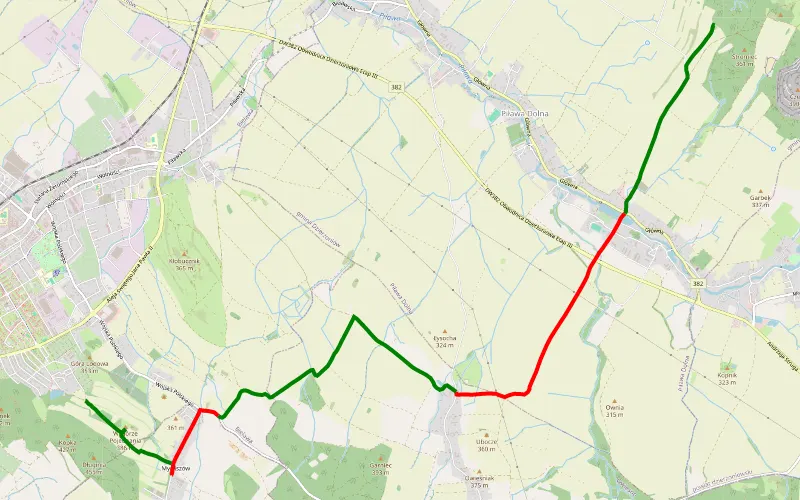
63% Offroad score
Moderate
399m Highest peak
Do Bielawy
Offroad score63%
No known restrictions91%
Distance10.54 km
Highest peak399m
Offroad6.67 km
7 years ago
View route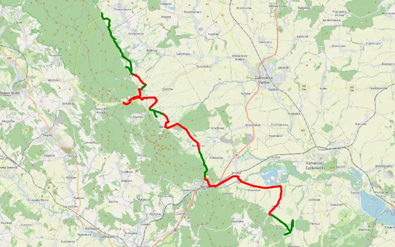
42% Offroad score
Moderate
566m Highest peak
Płonica - Jodłownik
Offroad score42%
No known restrictions91%
Distance44.77 km
Highest peak566m
Offroad18.64 km
7 years ago
View route
68% Offroad score
Moderate
435m Highest peak
Budzów swidnica
Offroad score68%
No known restrictions97%
Distance40.79 km
Highest peak435m
Offroad27.85 km
2 years ago
View route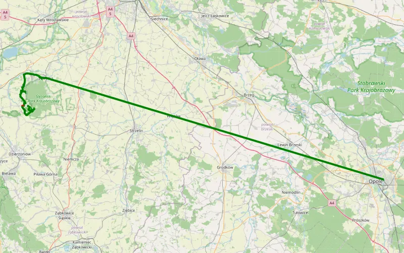
98% Offroad score
Difficult
456m Highest peak
Sobótka-Góra Radunia dokąd się dało. Koniec w Tąpadłach.
Offroad score98%
No known restrictions59%
Distance18.74 km
Highest peak456m
Offroad18.32 km
7 years ago
View route