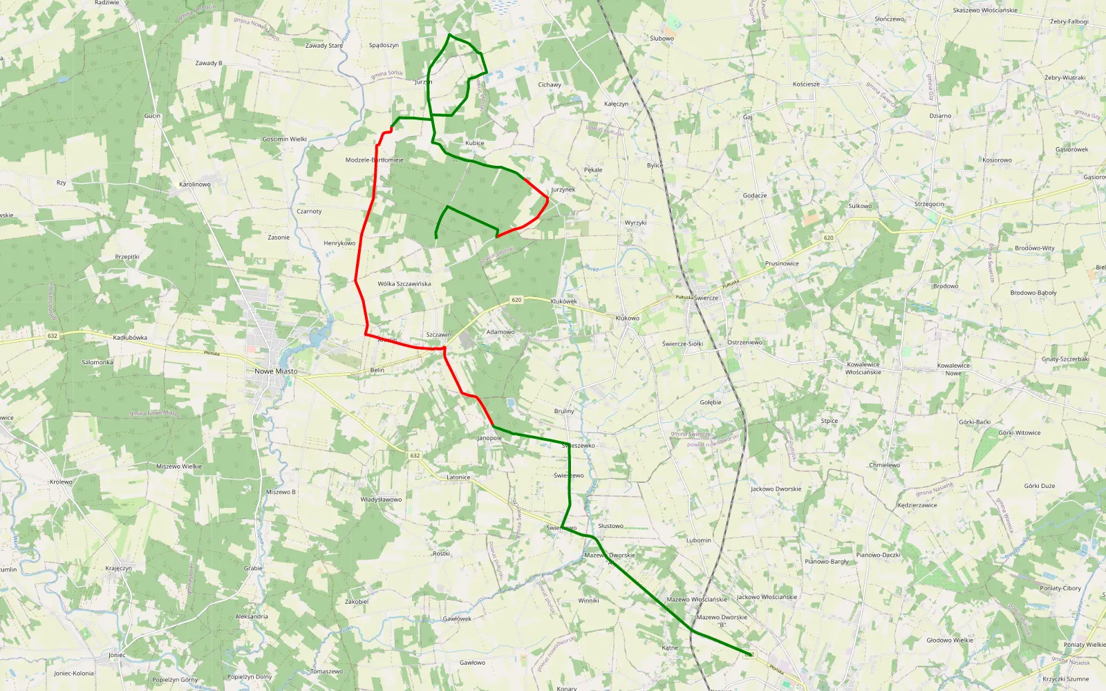
Wólka Szczawińska - Kosewo
The route's description and more details are at its source.
Before you go
“No known restrictions” does not mean “legal”. These are the stretches where public data (nature protection registers, the Forest Data Bank, BDOT10k, OpenStreetMap) shows no restrictions. We cannot check everything, because not all data is publicly available. A hint, not legal advice: the signs and local rules on site always come first.
This route was recorded 6 years ago. Even if driving it was allowed then, the signs and rules on site may have changed since.
91% of the route with no known restrictions
- public roads · 17.8 km
- no known restrictions · 2.5 km
- to check · 2 km
The route from start to finish
Move along the bar to see the stretch on the map.
- About 2 km runs through State Forest land off public roads. Check the signs and ask the forest district.
Check your own route from a GPX or KML file →
Access checked on October 11, 2026
Last analysed (off-road, regions, access): October 11, 2026