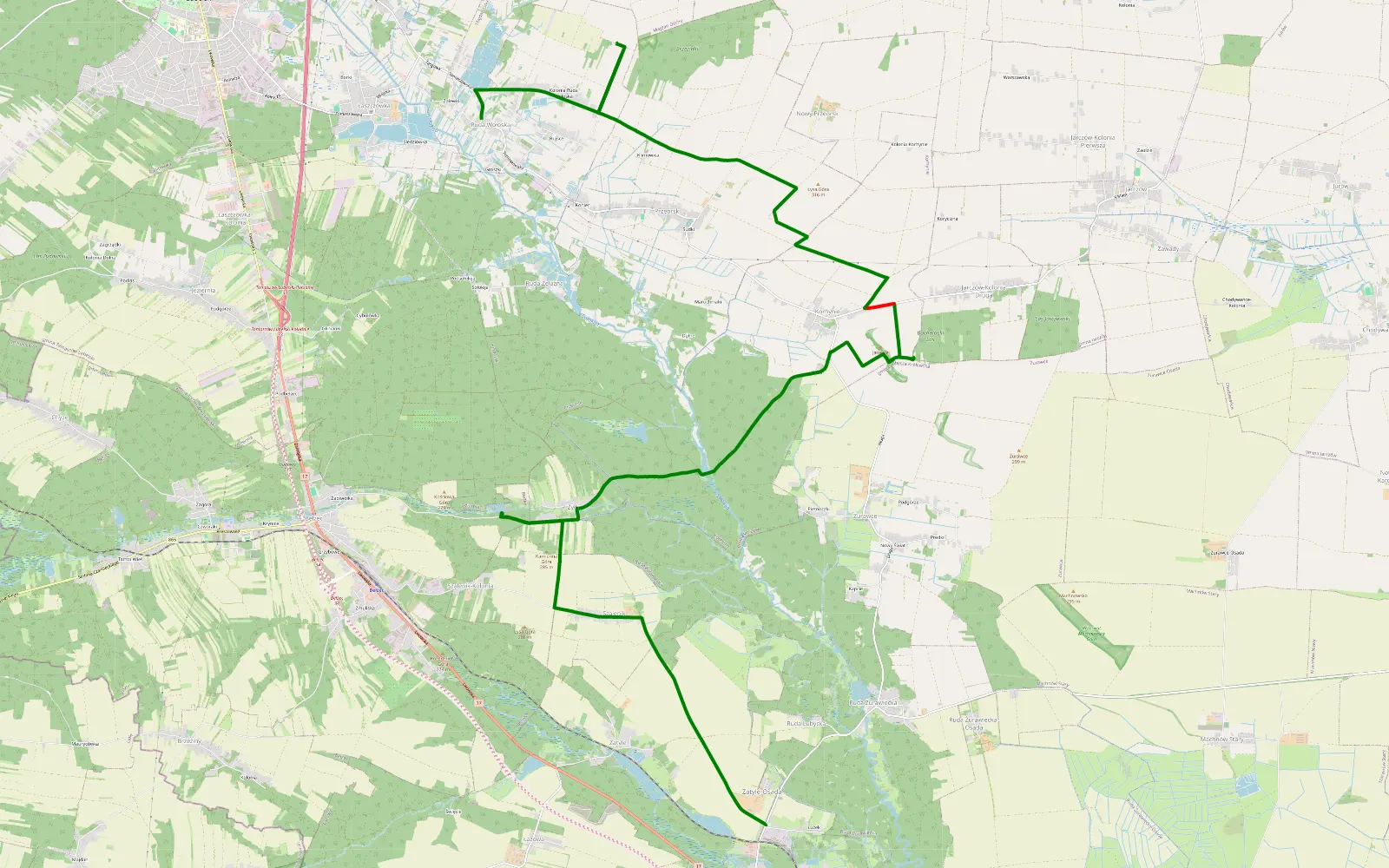
Ruda Wołowska - Lubycza Królewska
2026-10-05
The route's description and more details are at its source.
Offroad %97%
Distance14.3km
Elev. Gain65m
Highest peak315m
Before you go
“No known restrictions” does not mean “legal”. These are the stretches where public data (nature protection registers, the Forest Data Bank, BDOT10k, OpenStreetMap) shows no restrictions. We cannot check everything, because not all data is publicly available. A hint, not legal advice: the signs and local rules on site always come first.
99% of the route with no known restrictions
- public roads · 7.6 km
- no known restrictions · 6.8 km
The route from start to finish
Move along the bar to see the stretch on the map.
- About 5.1 km runs through Natura 2000 sites. That alone closes no road, but protection plans apply - stay on the tracks.
Check your own route from a GPX or KML file →
Access checked on October 6, 2026
Last analysed (off-road, regions, access): October 6, 2026